Powerline Ripper
Total Miles
13.1
Technical Rating
Best Time
Spring, Fall
Trail Type
High-Clearance 4x4 Trail
Accessible By
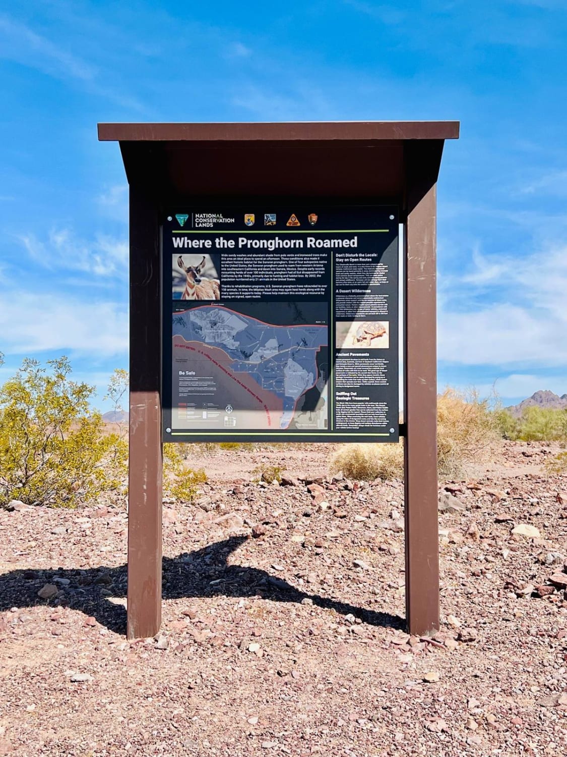
Trail Overview
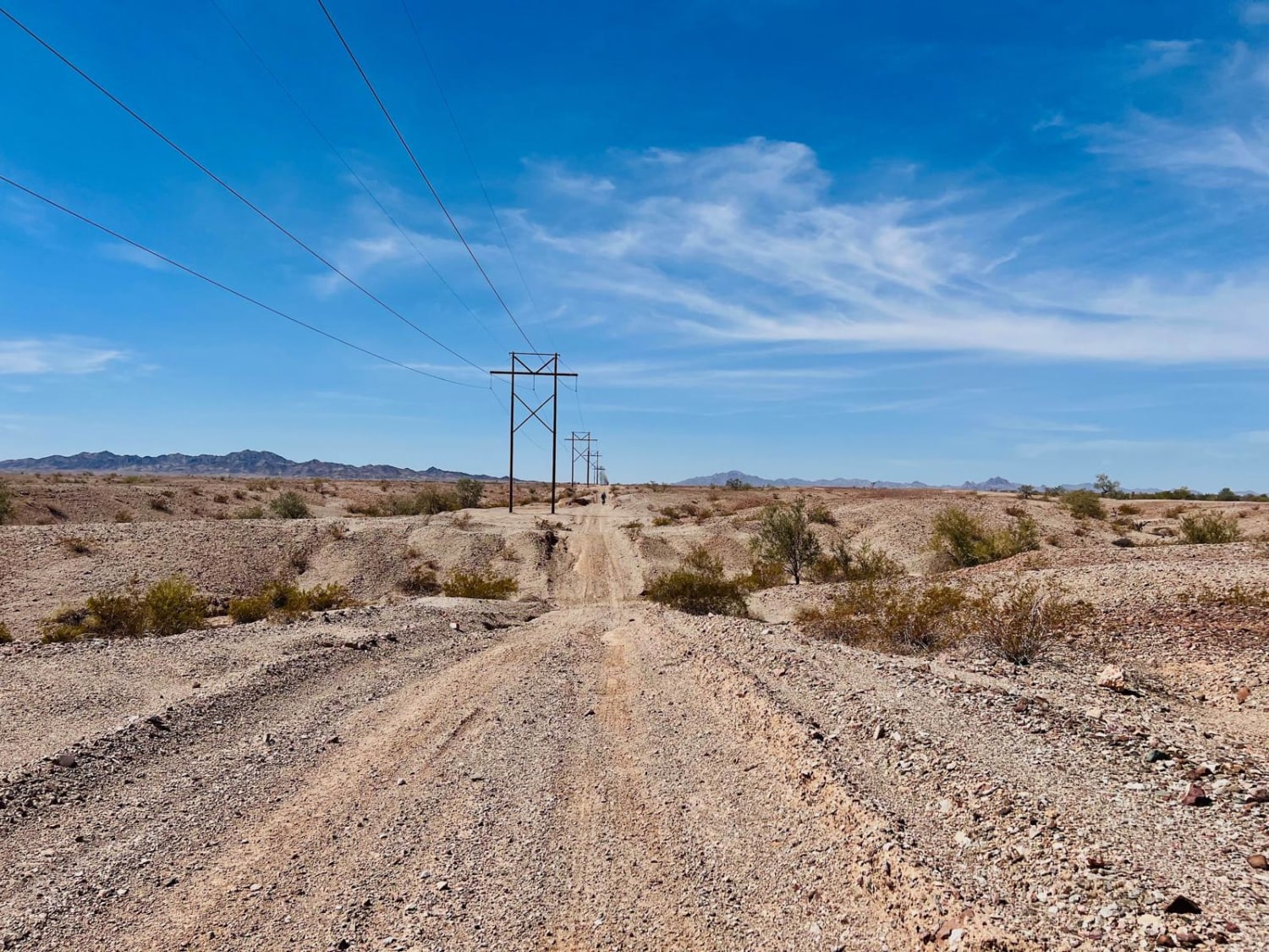
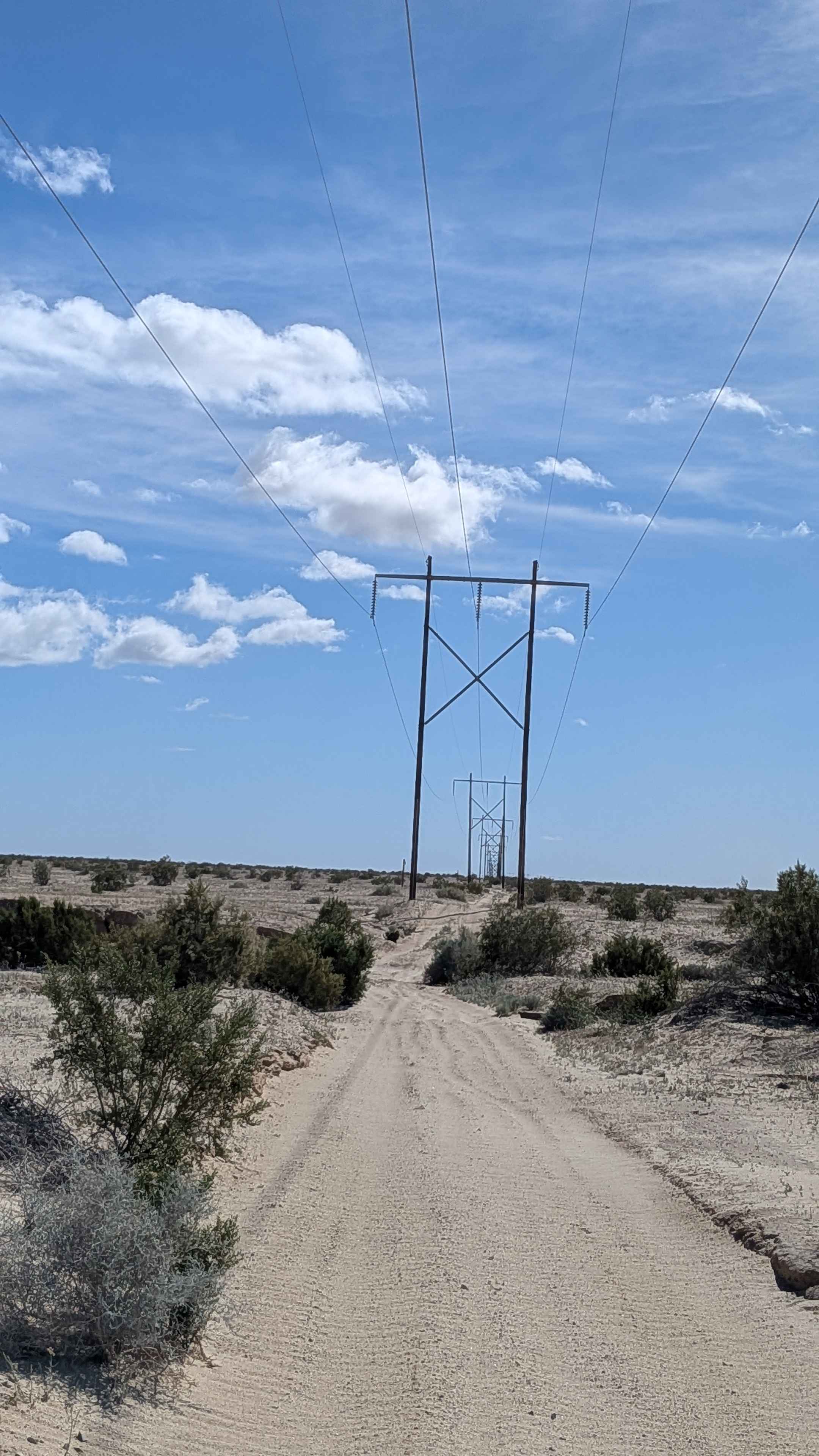
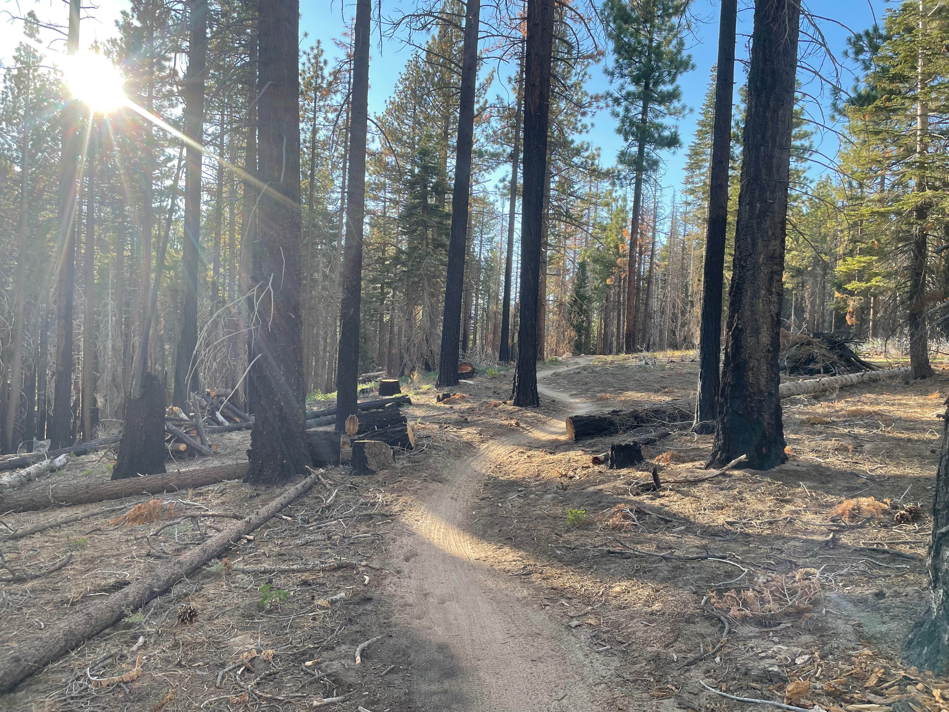
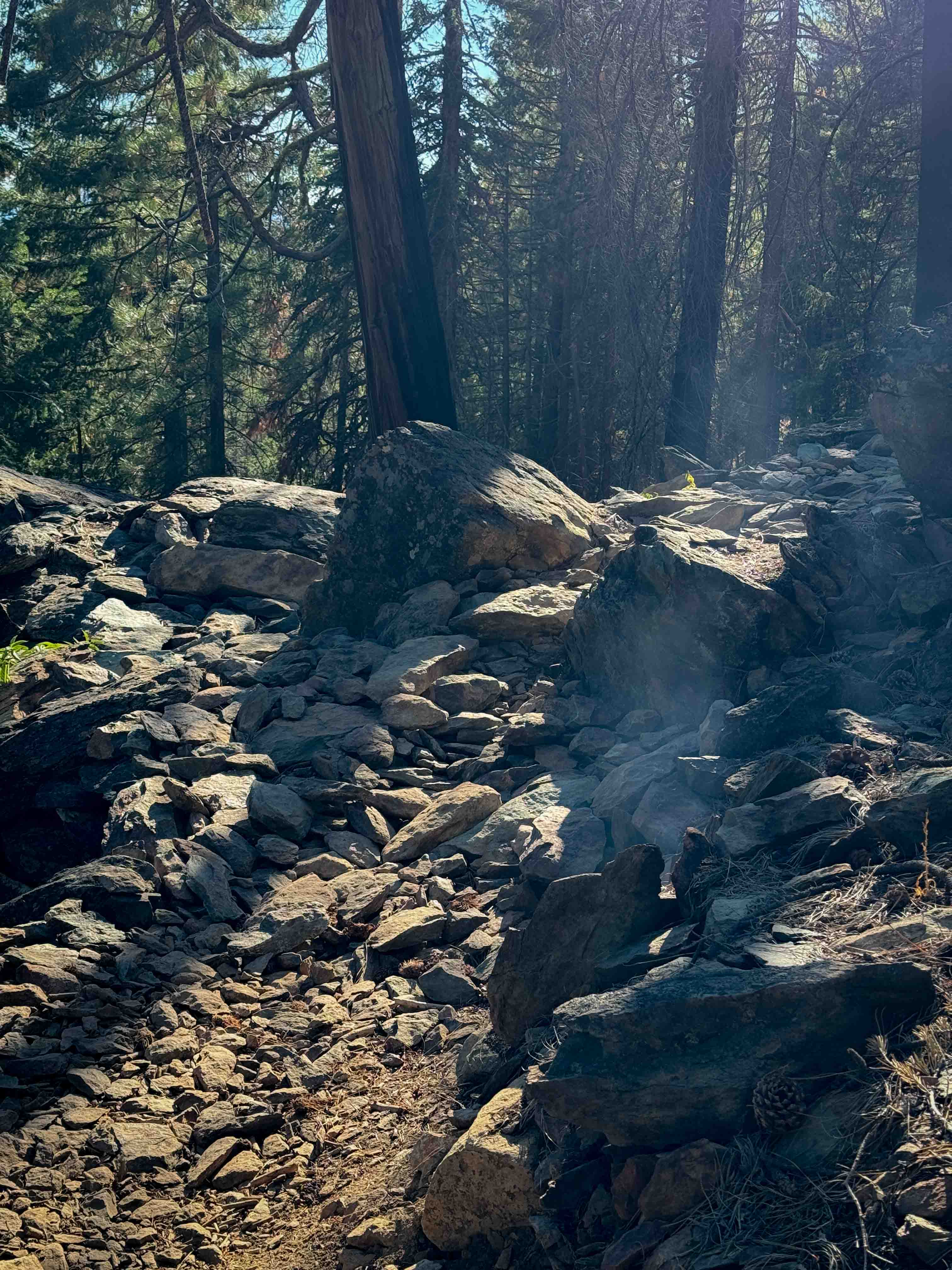
This is a section of the powerline trail. It has some challenging areas for autos and motos. Long sandy washes make up most of the flatter portions of the trail. Some sections are smooth and fast, while others are slow and technical. The hillier sections are fun but have deep washouts in the transitions. Some braiding routes or bypasses have developed around some of the worst transitions over the years. Be cautious when approaching the washouts; some are deep enough to swallow an entire tire. Much of the trail follows next to Highway 78 and even passes near the Border Patrol inspection station. The trail does cross the highway and continues. There is some cell service at the southern end of the trail but no service at the northern end. No good camping was noticed, and besides. Who wants to camp under power lines anyway! Ran in the Moto in 60 minutes.
Photos of Powerline Ripper
Difficulty
A good portion of this trail is long deep sandy washes. Airing down tires is recommended. Deep ruts and severe erosion dots the hillier sections of this trail. Some erosion is so severe that bypass routes exist.
Status Reports
Powerline Ripper can be accessed by the following ride types:
- High-Clearance 4x4
- SxS (60")
- ATV (50")
- Dirt Bike
Powerline Ripper Map
Popular Trails
Idyllwild Mountain Road
Incense Cedar Trail
Lower Tollgate
The onX Offroad Difference
onX Offroad combines trail photos, descriptions, difficulty ratings, width restrictions, seasonality, and more in a user-friendly interface. Available on all devices, with offline access and full compatibility with CarPlay and Android Auto. Discover what you’re missing today!