Pine Flats Road
Total Miles
10.3
Technical Rating
Best Time
Spring, Summer, Fall, Winter
Trail Type
Full-Width Road
Accessible By
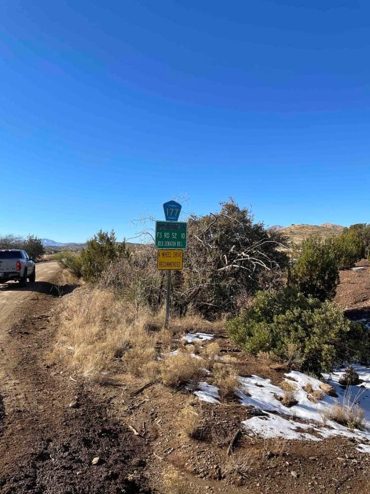
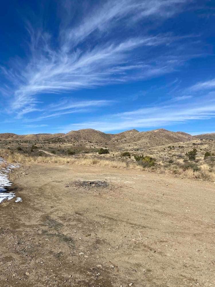
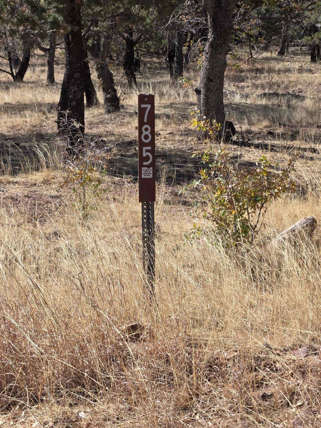
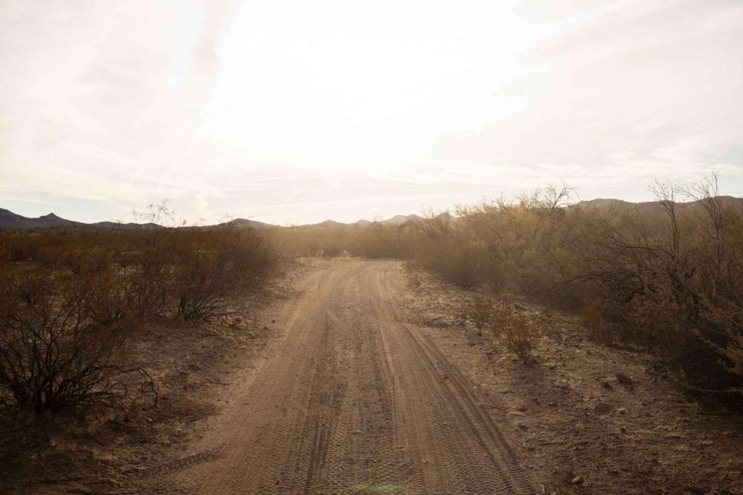
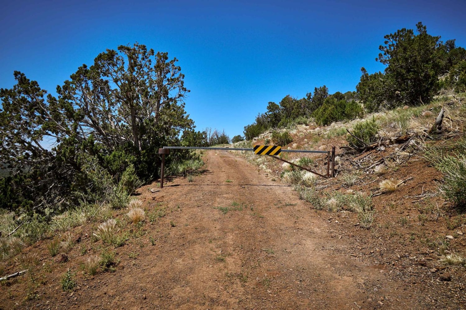
Trail Overview
This well-graded gravel road snakes through the Prescott National Forest and ends at an intersection with Senator Highway. The trail takes you through lower-elevation desert hills to higher-elevation ponderosa pine forests. There are a few camp spots at the beginning of this trail. Watch out for livestock on the trail; it's an open range. A section of this trail goes through private property, so drive/ride slowly to be courteous to the residents. A few water crossings may be present after snowmelt or rain but do not cross if flooding is present. Cell phone service is spotty. The trail is hardly washboarded, so slow down and enjoy the ride.
Photos of Pine Flats Road
Difficulty
Rain or snow may create a few water crossings. Check recent weather before driving/riding.
Status Reports
Pine Flats Road can be accessed by the following ride types:
- High-Clearance 4x4
- SUV
- SxS (60")
- ATV (50")
- Dirt Bike
Pine Flats Road Map
Popular Trails
Twin Buttes to Hwy 74
Hog Canyon- BLM 4111
Red Hill Road
The onX Offroad Difference
onX Offroad combines trail photos, descriptions, difficulty ratings, width restrictions, seasonality, and more in a user-friendly interface. Available on all devices, with offline access and full compatibility with CarPlay and Android Auto. Discover what you’re missing today!