Nugget Road and Rolling Hills
Total Miles
2.3
Technical Rating
Best Time
Fall, Summer, Spring
Trail Type
Full-Width Road
Accessible By
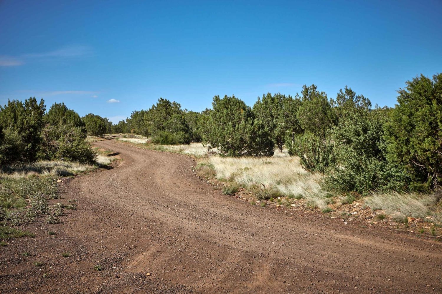
Trail Overview
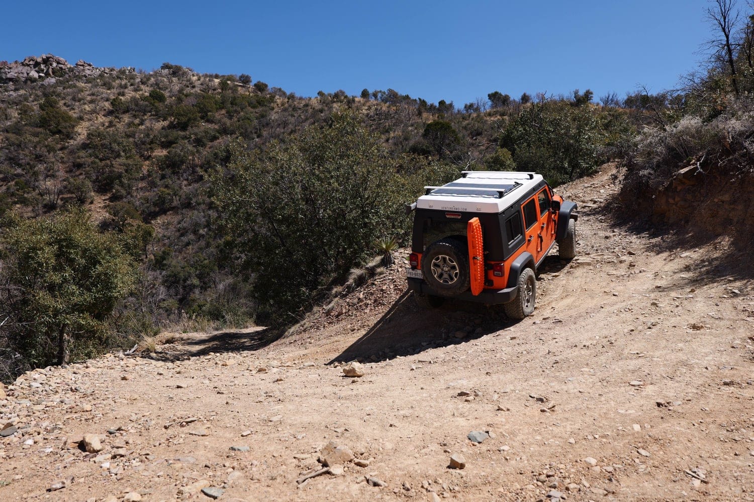
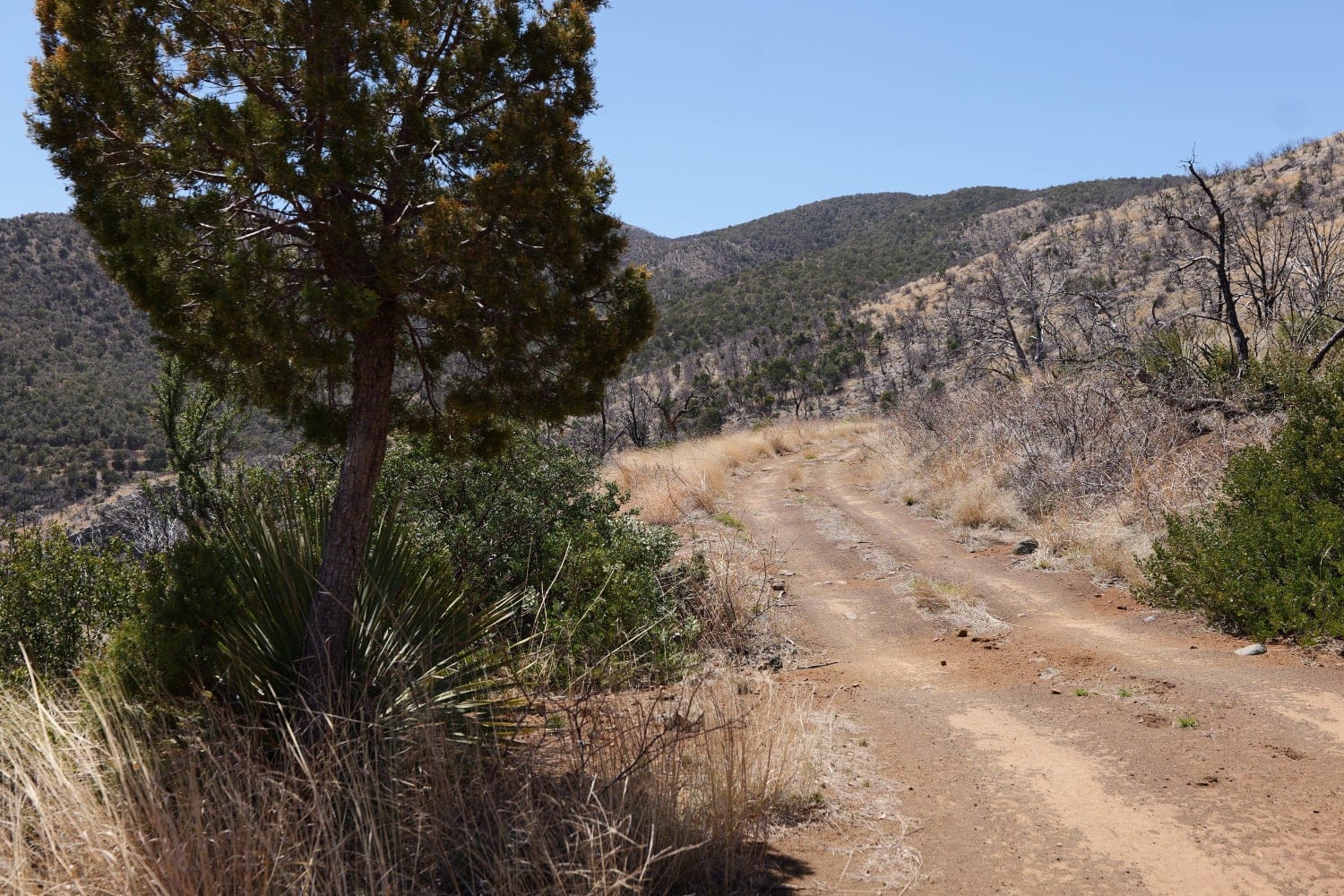
This is a mid-mountain forest road segment in Catalina National Forest, northwest of Tucson, Arizona. It is accessible via Peppersauce Canyon and is an enjoyable, mildly challenging primitive route that culminates high on a mountain ridge, at the junction for Rice Peak Road. Enjoy exploring higher elevations, with numerous loose, rocky ascents and descents, tight switchbacks, and breathtaking vistas to the east. While the terrain is not very technical, some of the steep inclines may give drivers pause. Any stock four-wheel drive vehicle with decent ground clearance from the factory, and a low-range transfer case, will not have any trouble. There are sporadic trees and vegetation for the duration of the route, and larger vehicles might incur scratches. If you're on your way up to Rice Peak, this trail segment is recommended for its variety, its scenery, and its rollercoaster-like elevation changes.
Photos of Nugget Road and Rolling Hills
Difficulty
While this route will accommodate most four-wheel drive vehicles with sufficient ground clearance and a two-speed transfer case, there are steep and loose ascents and descents that might cause some drivers to hesitate. It is a less-traveled track, and some vegetation and deterioration might challenge larger vehicles. These characteristics aside, the terrain is fairly even throughout with little or no need for careful line picking.
Nugget Road and Rolling Hills can be accessed by the following ride types:
- High-Clearance 4x4
- SUV
- SxS (60")
- ATV (50")
- Dirt Bike
Nugget Road and Rolling Hills Map
Popular Trails

Beer Bottle Wash
Old Sycamore Road
Yellowstone North HN79
The onX Offroad Difference
onX Offroad combines trail photos, descriptions, difficulty ratings, width restrictions, seasonality, and more in a user-friendly interface. Available on all devices, with offline access and full compatibility with CarPlay and Android Auto. Discover what you’re missing today!