Marshmallow Canyon-BLM2003
Total Miles
2.2
Technical Rating
Best Time
Spring, Summer, Fall, Winter
Trail Type
High-Clearance 4x4 Trail
Accessible By
Trail Overview
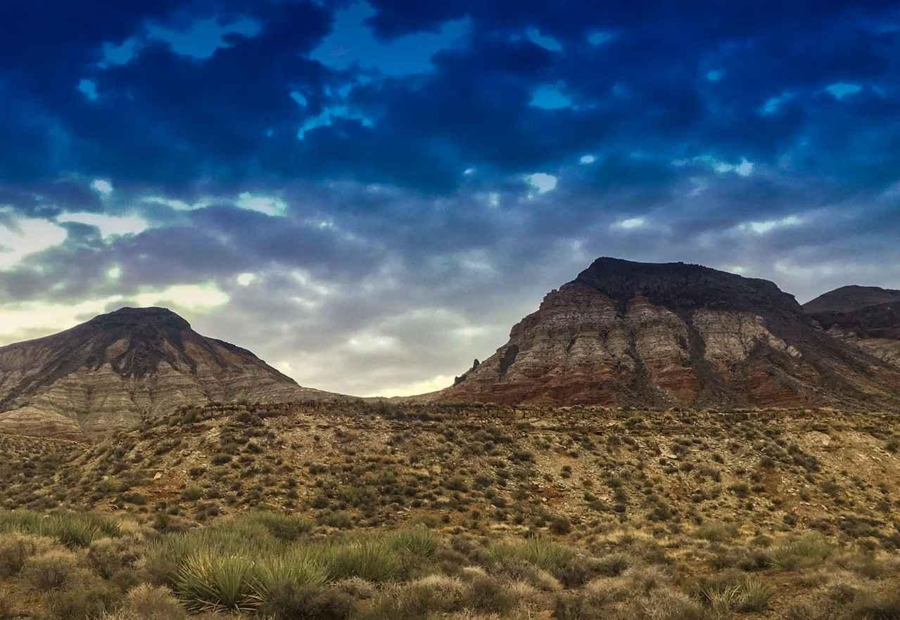
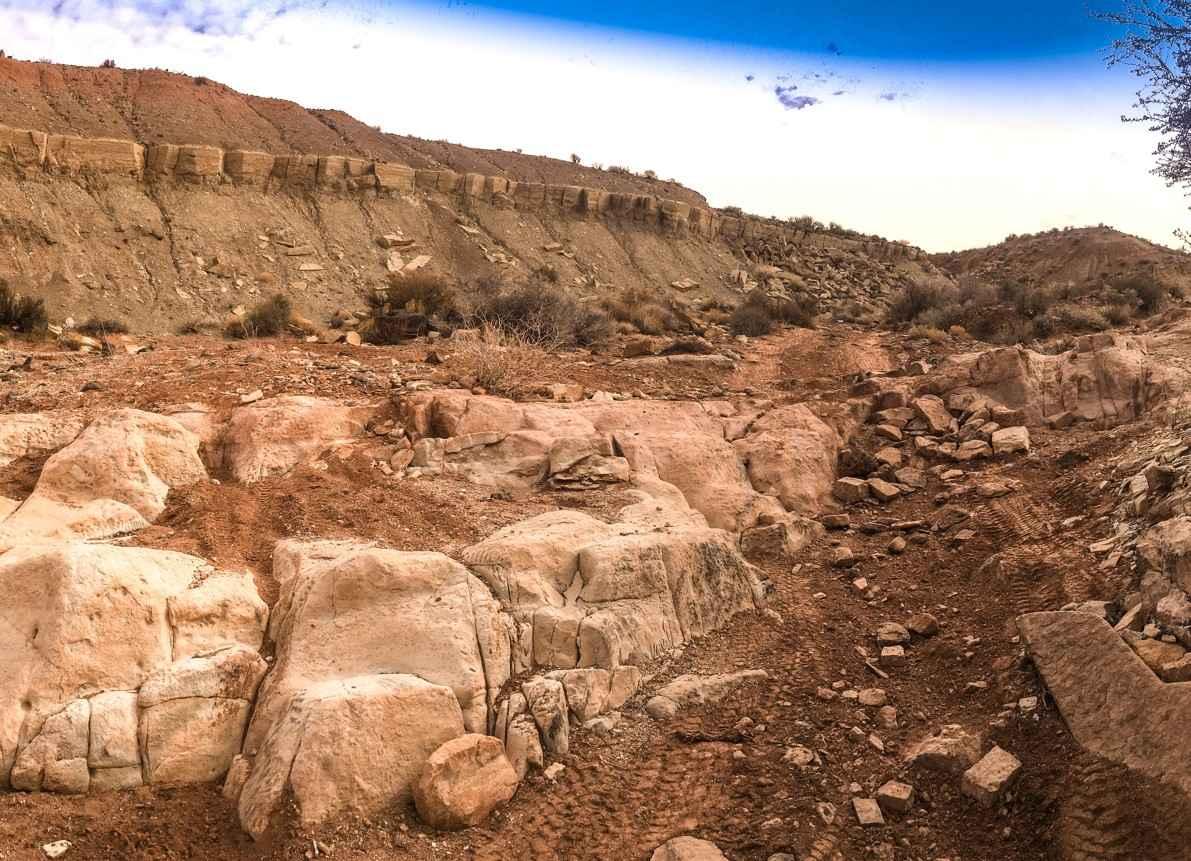
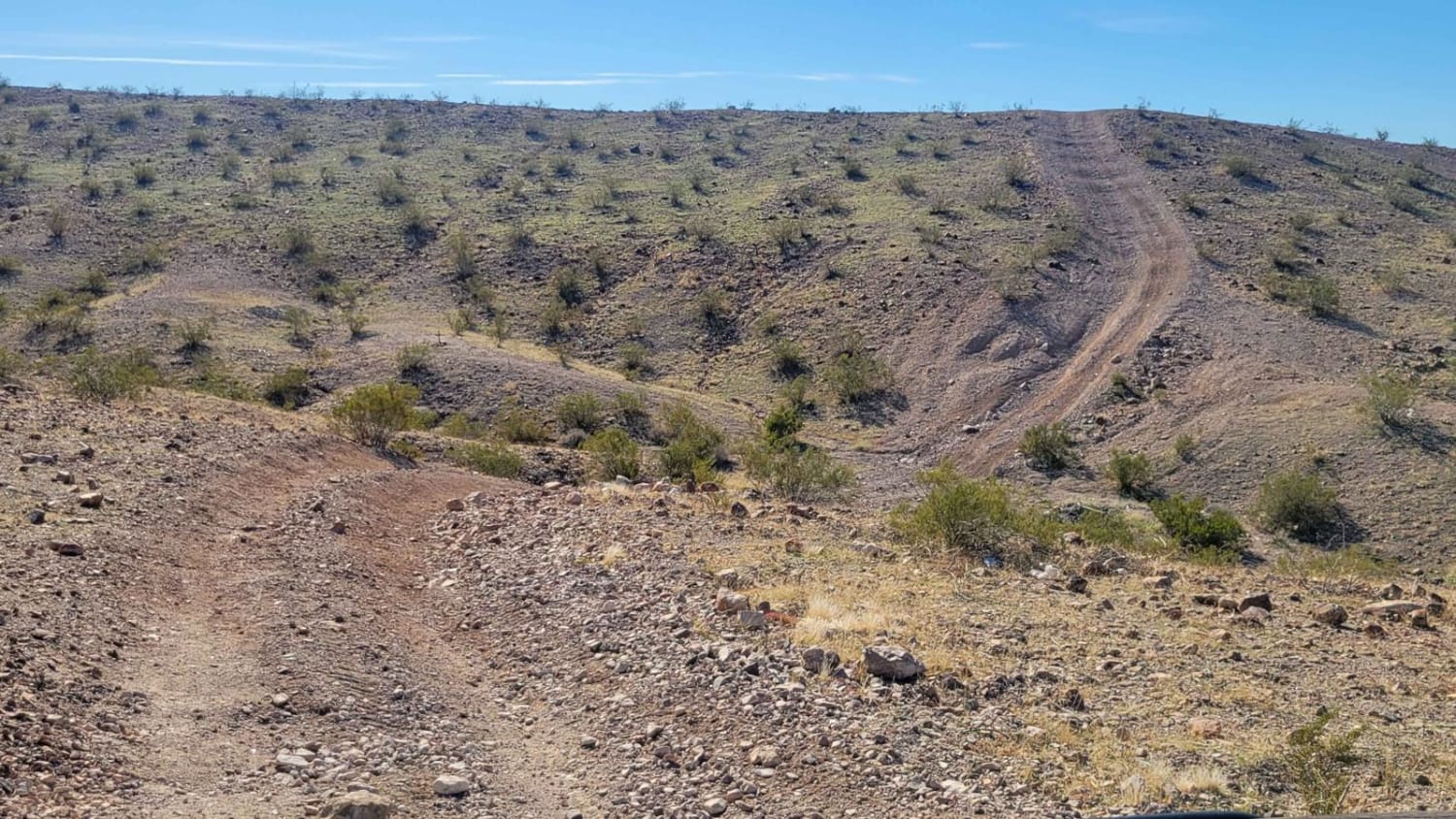
Marshmallow Canyon-BLM2003 is a 2-mile fairly level dirt and rock trail. This trail has a rating of 3 of 10 due to one major rock obstacle along the track. Marshmallow Canyon provides scenic views of the Mexican Skirt, Lava Shelfs and Hurricane Cliffs. The canyon is located south of East Mesa in the Arizona Strip and the Fort Pearce Wash Area of Critical Environmental Concern (ACEC). The ACEC is designated for the protection of the endangered Siler Pincushion Cactus. This cactus is endemic to southern Utah and northern Arizona and total number is thought to only be a few hundred. Please obey the signs within the ACEC boundary to help protect these fragile cacti. The St. George Basin provides opportunities for visitors to enjoy adventure activities in natural, scenic landscapes in close proximity to local communities. This area can be extremely hot in the summer months with temperatures above 100 degrees. The nearest services are located in St. George which is still 15 to 20 miles by trail. As with all remote desert treks, come prepared.
Photos of Marshmallow Canyon-BLM2003
Difficulty
Trail consisting of loose rocks, dirt, and sand with some slickrock surfaces, mud holes possible, no steps higher than 12". 4WD is required, aggressive tires a plus.
History
The ACEC program was conceived in the 1976 Federal Lands Policy and Management Act (FLPMA), which established the first conservation ecology mandate for the BLM. The FLPMA mandate directs the BLM to protect important riparian corridors, threatened and endangered species habitats, cultural and archeological resources, as well as unique scenic landscapes that the agency assesses as in need of special management attention.
Status Reports
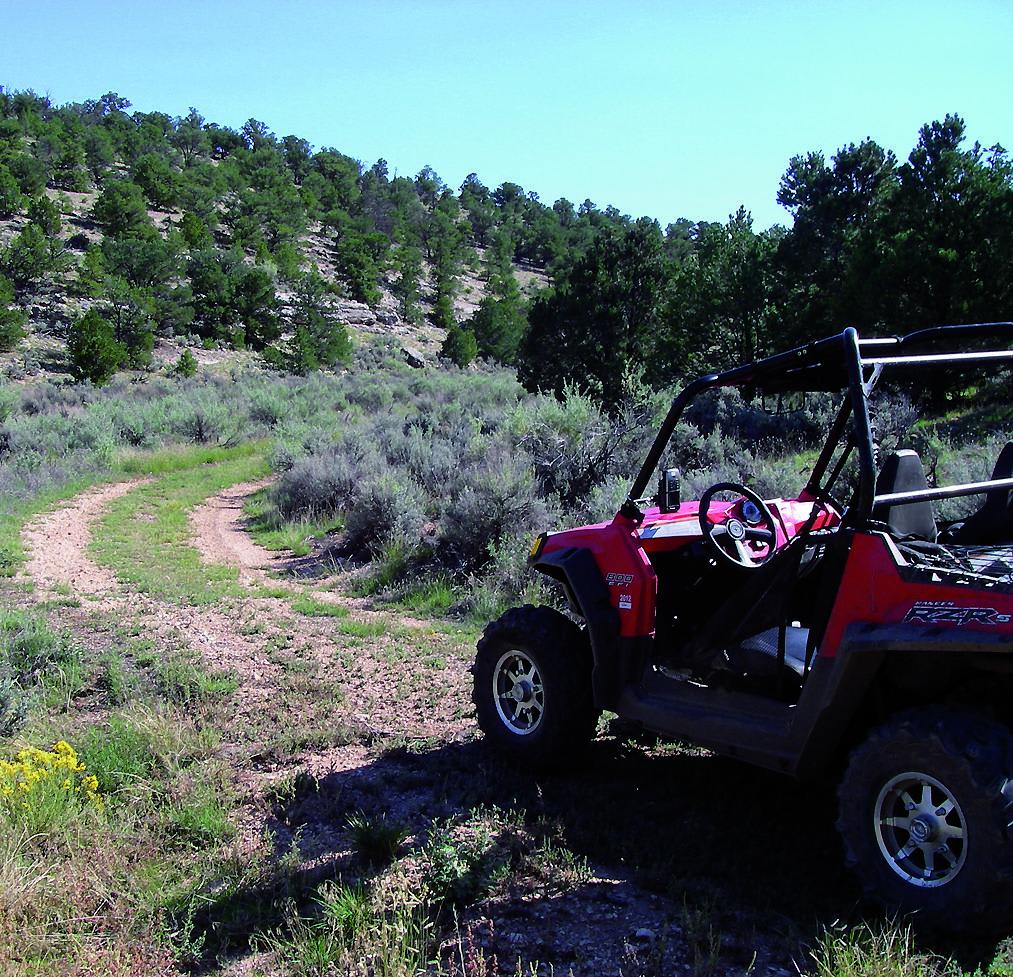
Marshmallow Canyon-BLM2003 can be accessed by the following ride types:
- High-Clearance 4x4
- SxS (60")
- ATV (50")
- Dirt Bike
Marshmallow Canyon-BLM2003 Map
Popular Trails

Power Line Road | Hidden Valley South
Gilbert Canyon
AZ Peace Trail Spur to Davis Camp (West)
The onX Offroad Difference
onX Offroad combines trail photos, descriptions, difficulty ratings, width restrictions, seasonality, and more in a user-friendly interface. Available on all devices, with offline access and full compatibility with CarPlay and Android Auto. Discover what you’re missing today!
