Coyote Butte South
Total Miles
5.7
Technical Rating
Best Time
Spring, Summer, Fall
Trail Type
Full-Width Road
Accessible By
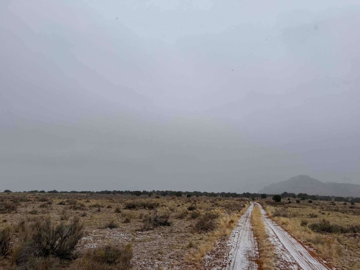
Trail Overview
Somewhat difficult route due to hidden rocks and steps in deep sand. Skirting the Vermilion Cliffs National Monument and wilderness area. There are some areas that can be extremely deep sand especially the further along you go. If it has not rained much you can dig 10 feet and not find bottom. Take heed for it is like no other sandy area I have seen.
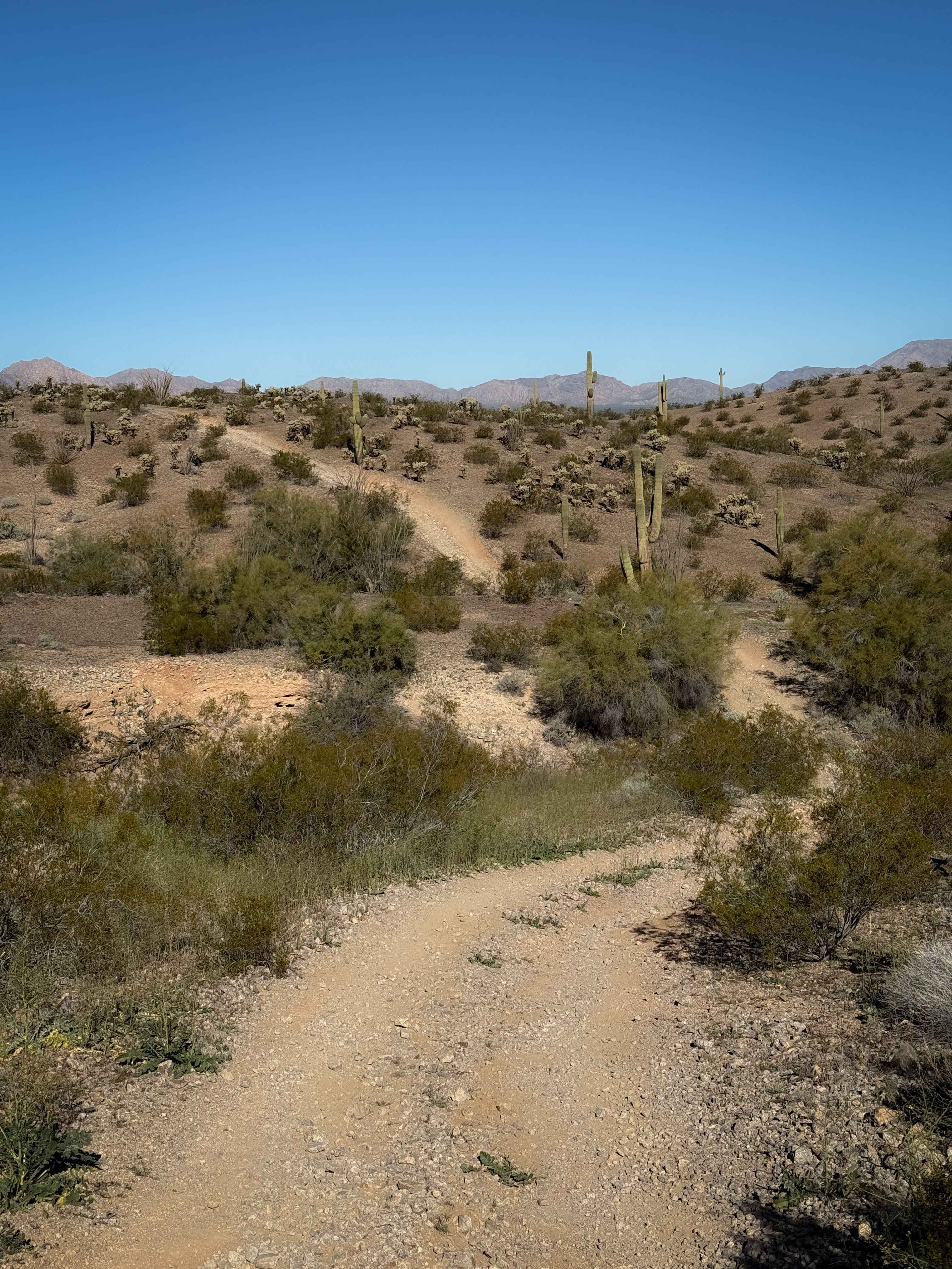
Photos of Coyote Butte South


Difficulty
This sand is very deceiving. rocks creep out and make it a fun challenge.
Coyote Butte South can be accessed by the following ride types:
- High-Clearance 4x4
- SUV
- SxS (60")
- ATV (50")
- Dirt Bike
Coyote Butte South Map
Popular Trails

Hartman Homestead Cutover

The onX Offroad Difference
onX Offroad combines trail photos, descriptions, difficulty ratings, width restrictions, seasonality, and more in a user-friendly interface. Available on all devices, with offline access and full compatibility with CarPlay and Android Auto. Discover what you’re missing today!