Chiricahua Byway
Total Miles
21.3
Technical Rating
Best Time
Spring, Summer, Fall, Winter
Trail Type
Full-Width Road
Accessible By
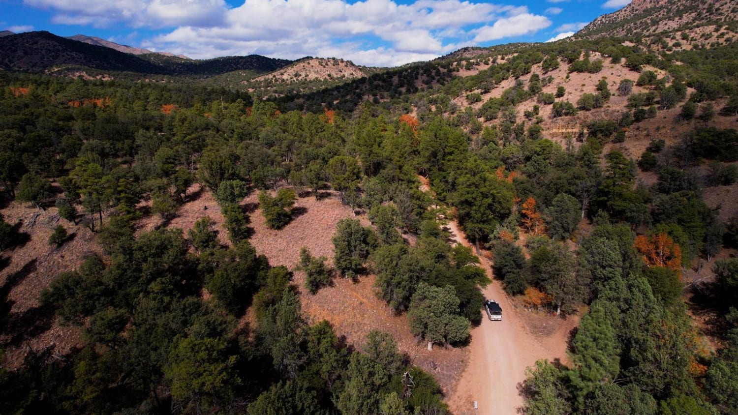
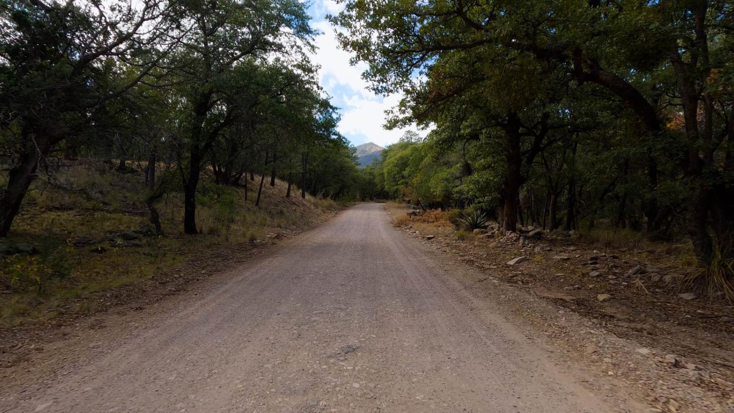
Trail Overview
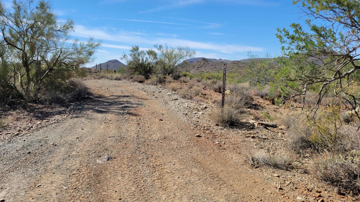
The Chiricahua Byway is an easy forest trail that takes you across the highest "Sky Island" district in Arizona. This trail provides incredible views of the Sonoran Desert, Mexico, New Mexico, and southern Arizona. There are ample camping spots all along this route from paid sites with toilets to primitive ones. At the top is Rustlers Park, a beautiful campground with cabins available to rent in the summer months. You can travel either direction, but the trail is best driven from south to north as it ends at the National Monument where you can spend the day hiking and exploring the Chiricahua National Monument. It's really a gem of a place! Small travel trailers can navigate the trail, but be cautious with larger RV types towards the top of the trail. Portal, Arizona, has some incredible camping as well. This place is really all about camping and enjoying the slower pace. The trail is an easy dirt road but use caution in rain and snow.
Photos of Chiricahua Byway
Difficulty
Most anyone can make it up the trail. Use caution if you have a Sprinter-type vehicle, as the road does get narrower towards the top. Small travel trailers are doable, but RVs or travel trailers longer than 16 feet are not recommended.
Status Reports
Chiricahua Byway can be accessed by the following ride types:
- High-Clearance 4x4
- SUV
- SxS (60")
- ATV (50")
- Dirt Bike
Chiricahua Byway Map
Popular Trails
Klothos Temples Loop
9949 to Black Canyon Trail

Sim's Trail
The onX Offroad Difference
onX Offroad combines trail photos, descriptions, difficulty ratings, width restrictions, seasonality, and more in a user-friendly interface. Available on all devices, with offline access and full compatibility with CarPlay and Android Auto. Discover what you’re missing today!