Big Pond Overlook Trail
Total Kilometers
4.8
Technical Rating
Best Time
Summer, Fall
Trail Type
High-Clearance 4x4 Trail
Accessible By
Trail Overview
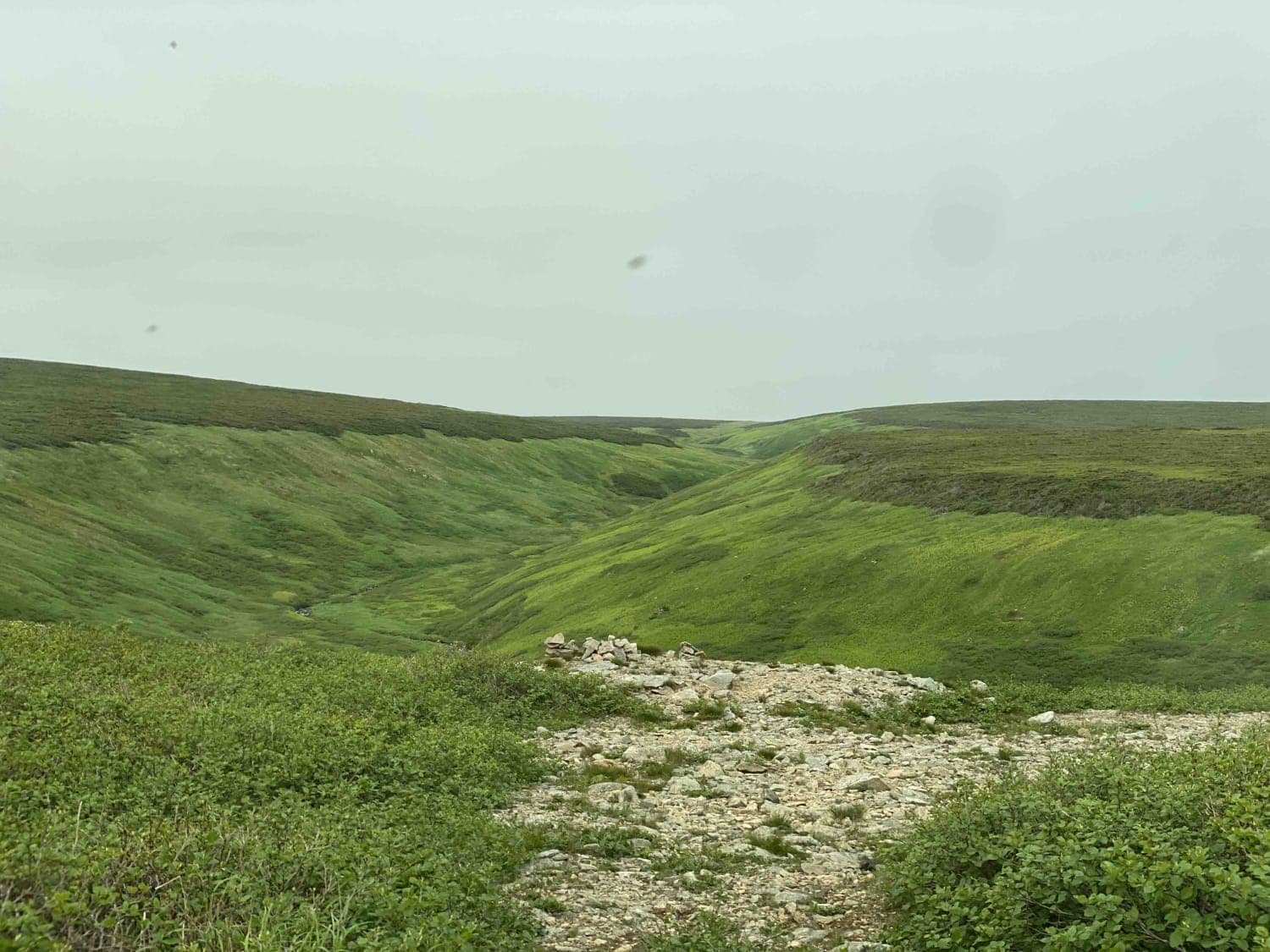
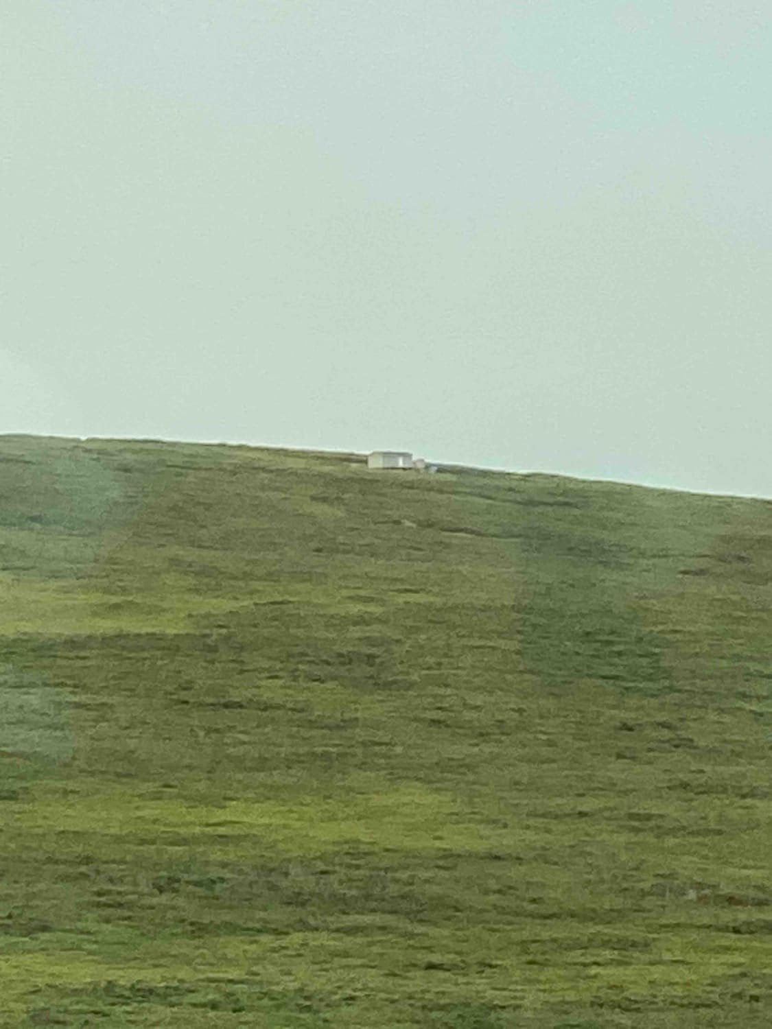
This trail provides access to the two radio towers on the top of the plateau. It traverses up the narrow valley and opens up onto the plateau about two thirds of the way to the top. The trail is mostly rounded rocks in the valley and rocks and gravel at the upper section. The lower section has narrowed due to vegetation growth and will likely add to your trail stripe collection. The very top is mostly tundra type vegetation so be considerate where you drive. It is impossible to get lost or off track as it is the only defined trail. There is an unmapped trail branching to the north near the top end.
Photos of Big Pond Overlook Trail
Difficulty
One section has been encroached by vegetation that will likely produce some trail stripes. Almost all of the trail is one vehicle wide with very few places to pass, especially on the steep valley section. Washouts on the valley section have left the trail with medium to large (12-18 inch) rocks making up the trail base. Lockers are helpful but not required. There are several large puddles in the top area but with hard bottoms.
History
The US Army used the plateau to construct an unmanned long-wire radio repeater station during WWII. The Canadian Armed Forces also used the plateau to later build an early radar station also during WWII. There is some interesting history at http://www.c-and-e-museum.org/Pinetreeline/rds/detail/rds77-5.html
Big Pond Overlook Trail can be accessed by the following ride types:
- High-Clearance 4x4
- SxS (60")
- ATV (50")
Big Pond Overlook Trail Map
Popular Trails
Frenchman's Pond Trail
Cloudy Trail
Big Pond Overlook Trail
The onX Offroad Difference
onX Offroad combines trail photos, descriptions, difficulty ratings, width restrictions, seasonality, and more in a user-friendly interface. Available on all devices, with offline access and full compatibility with CarPlay and Android Auto. Discover what you’re missing today!