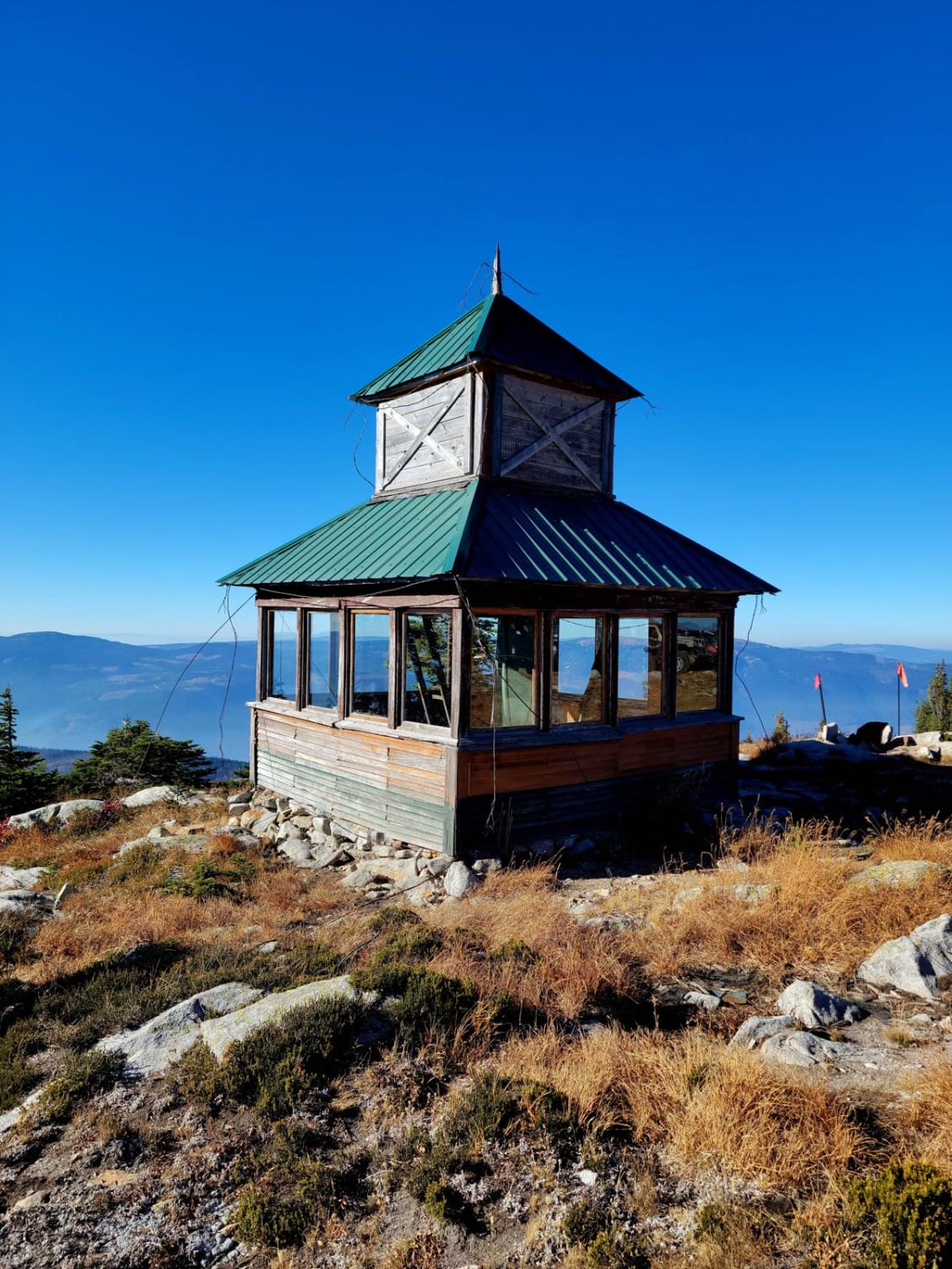
Sugar Fire Lookout
Total Kilometers
10.2
Technical Rating
Best Time
Summer, Fall
Trail Type
High-Clearance 4x4 Trail
Accessible By
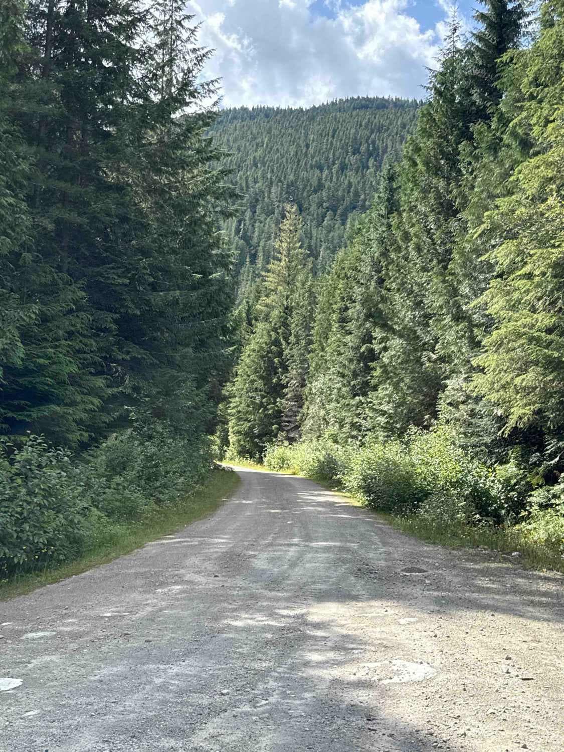
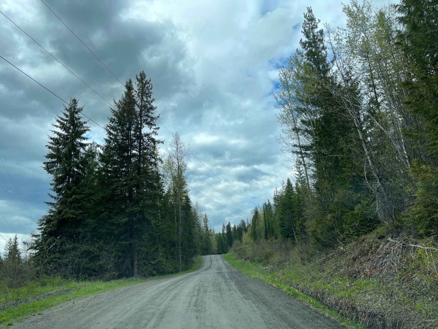
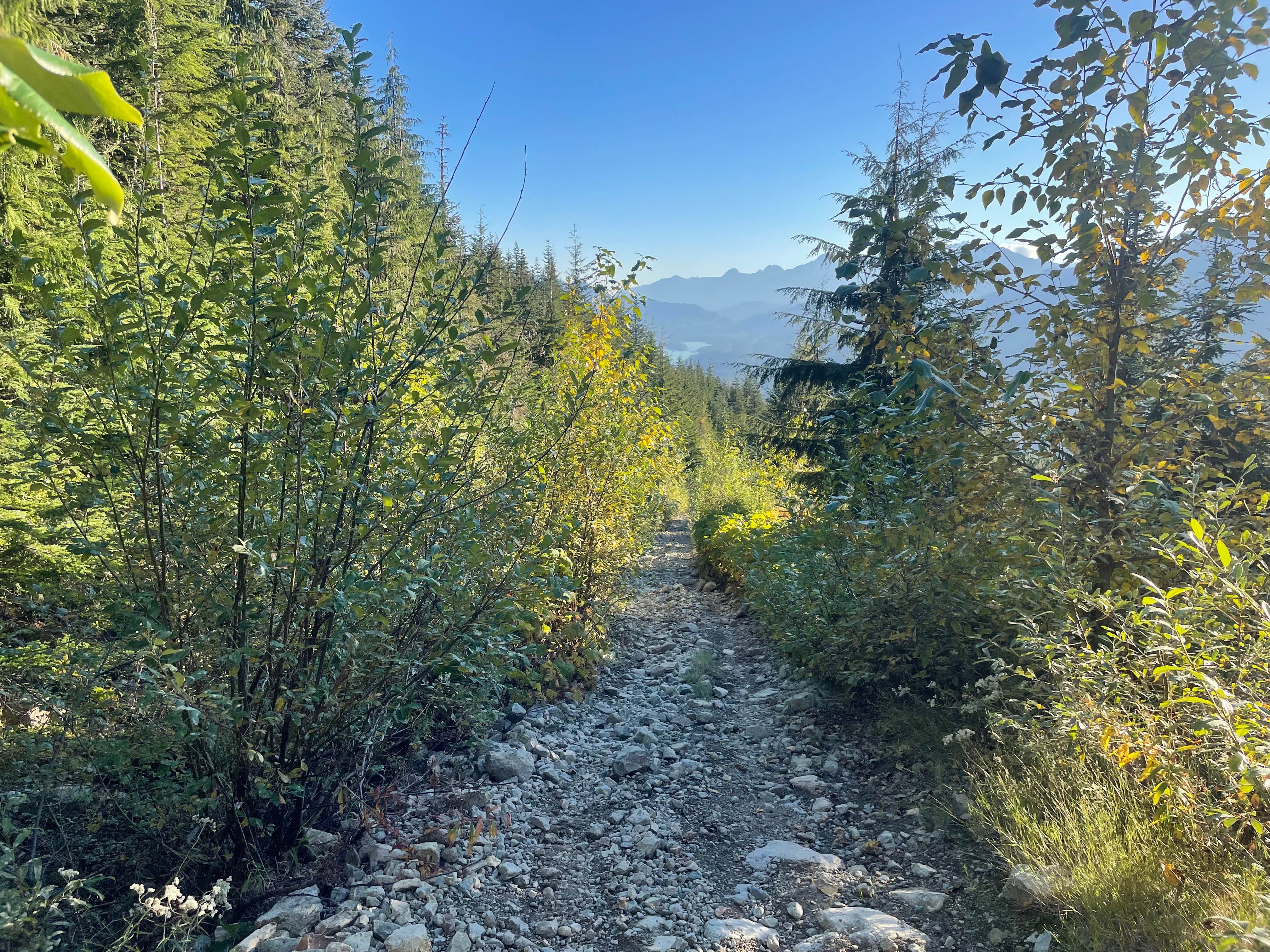
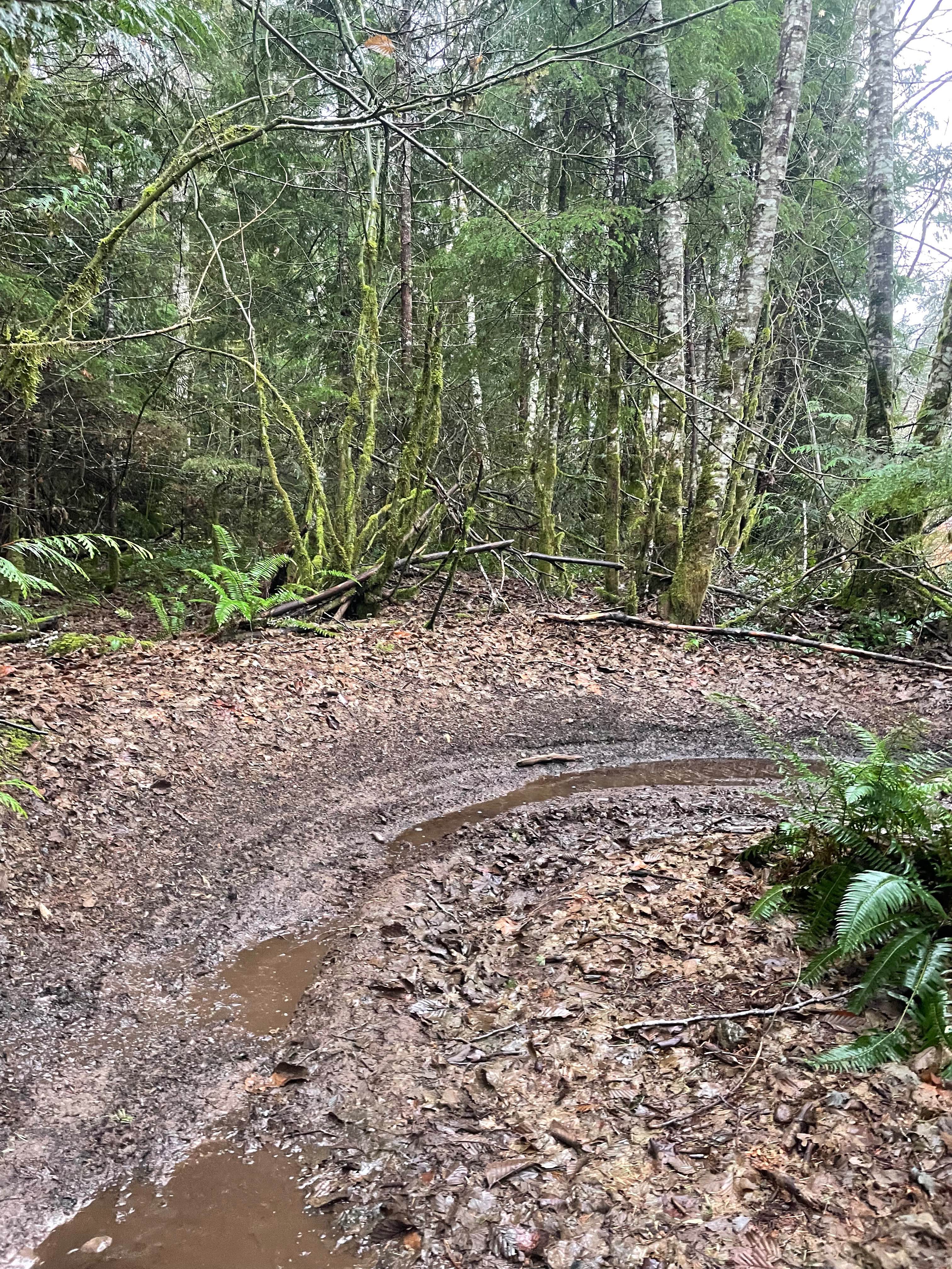
Trail Overview
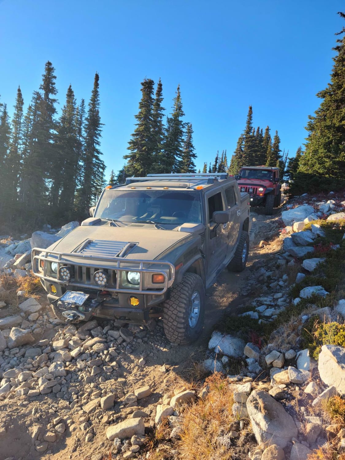
This trail takes you into beautiful high alpine meadows to a summit of 7171 ft to a fire lookout with an amazing 360 view of the Monashee Mountains, Kate, and Sugar Lakes. This a very tight trail with loose rocks, steep climbs, switchbacks, and rock ledges to make the summit of the trail. This trail is accessed from mid-July to September due to snow. Access in mid-June is limited to snowdrifts on the switchbacks. Please stay on designated trails do not drive in grass meadows very sensitive ecosystem at this elevation.
Photos of Sugar Fire Lookout
Difficulty
This is a very tight and rough trail expect pinstripes, bring a chain saw this trail is known for many downed trees. 3ft rock ledge about halfway up the trail and very rocky rough sections leading to the top.This trail has few options to turn around at the top when the rocky section is reached so be prepared for rough sharp rocks.
History
This fire lookout is very well preserved let's encourage people to keep it that way. It's an amazing piece of history.
Sugar Fire Lookout can be accessed by the following ride types:
- High-Clearance 4x4
- SxS (60")
- ATV (50")
- Dirt Bike
Sugar Fire Lookout Map
Popular Trails
Ratchford Road
Bobby Burns Road
Doubletrack #3
Mini Track
The onX Offroad Difference
onX Offroad combines trail photos, descriptions, difficulty ratings, width restrictions, seasonality, and more in a user-friendly interface. Available on all devices, with offline access and full compatibility with CarPlay and Android Auto. Discover what you’re missing today!