Mount Arthur Views
Total Kilometers
12.3
Technical Rating
Best Time
Spring, Summer, Fall
Trail Type
High-Clearance 4x4 Trail
Accessible By
Trail Overview
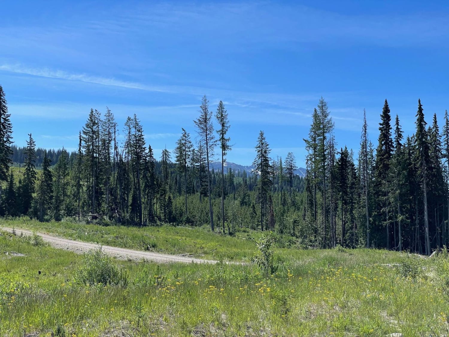
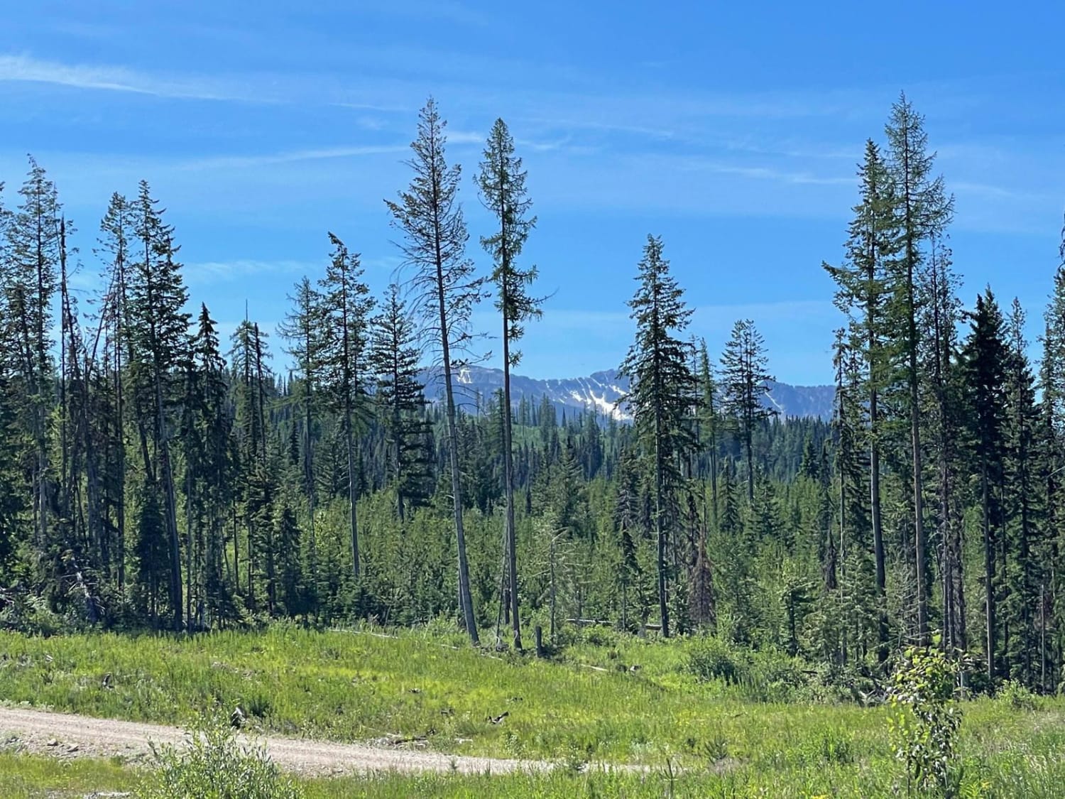
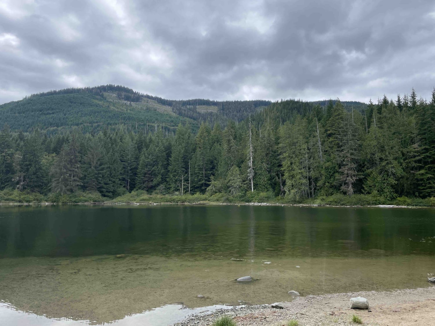
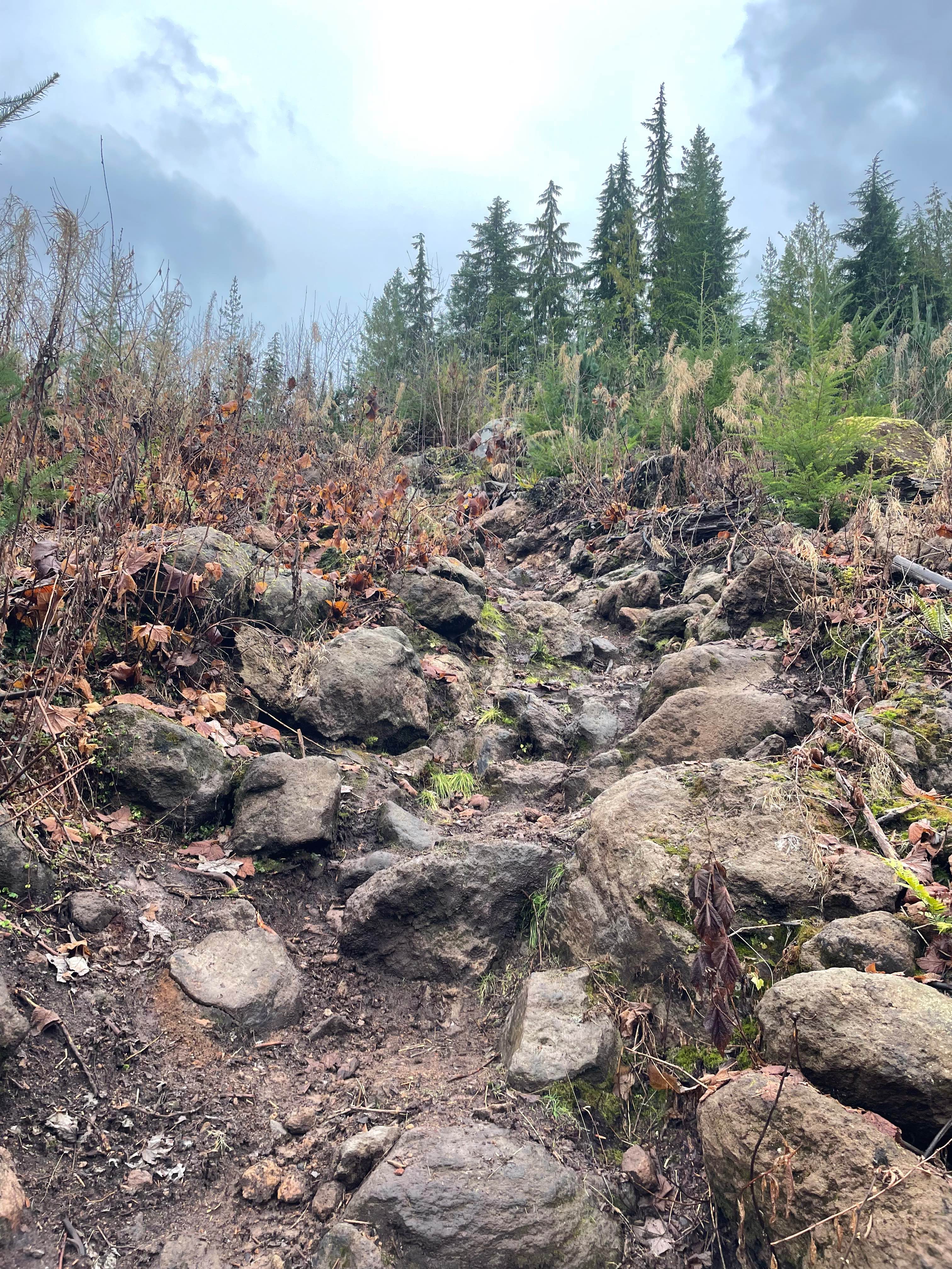
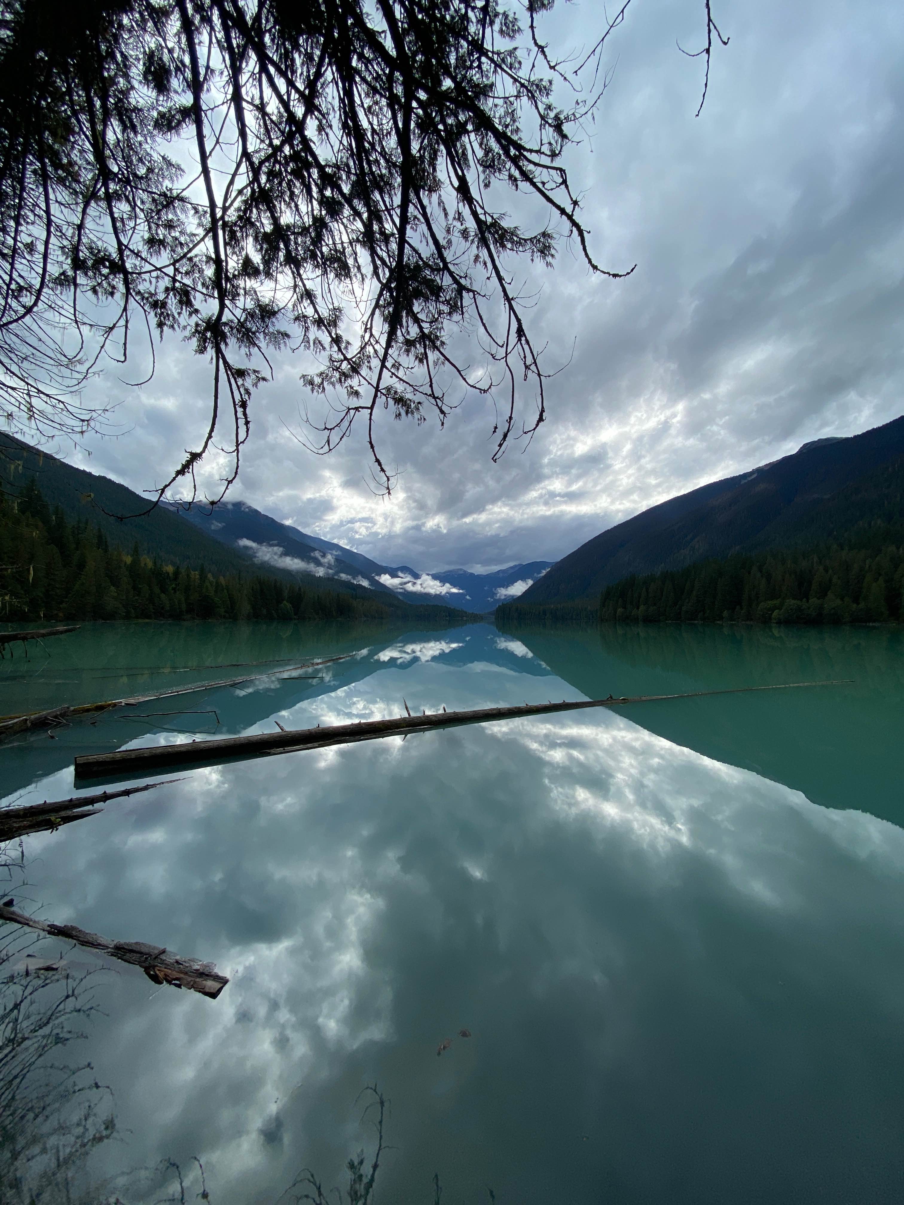
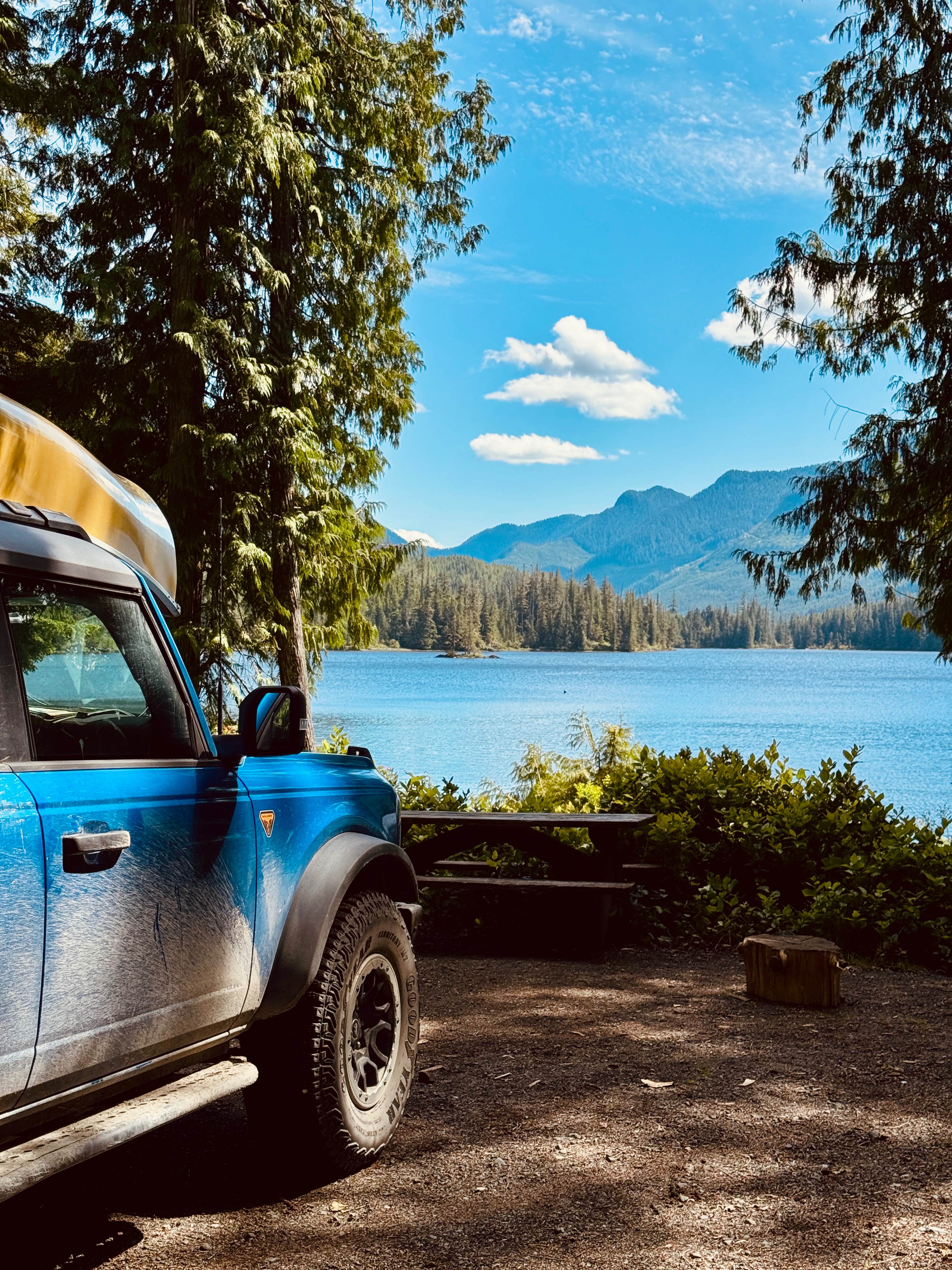
This fun trail above the Kettle Valley FSR has amazing views of the entire route and of course an epic view of Mount Arthur as you round the hill. There are some small lakes and great camping spots along the trail. The trail is a fairly simple FSR with some areas that are overgrown.
Photos of Mount Arthur Views
Difficulty
There are some tight sections and a few are off-camber. They're not too hard if you have high clearance.
Status Reports
Mount Arthur Views can be accessed by the following ride types:
- High-Clearance 4x4
- SxS (60")
- ATV (50")
- Dirt Bike
Mount Arthur Views Map
Popular Trails
Woss to Woss Lake Rec Site
Steambreather 1
Glacier Lake Trail
Kokish Main
The onX Offroad Difference
onX Offroad combines trail photos, descriptions, difficulty ratings, width restrictions, seasonality, and more in a user-friendly interface. Available on all devices, with offline access and full compatibility with CarPlay and Android Auto. Discover what you’re missing today!