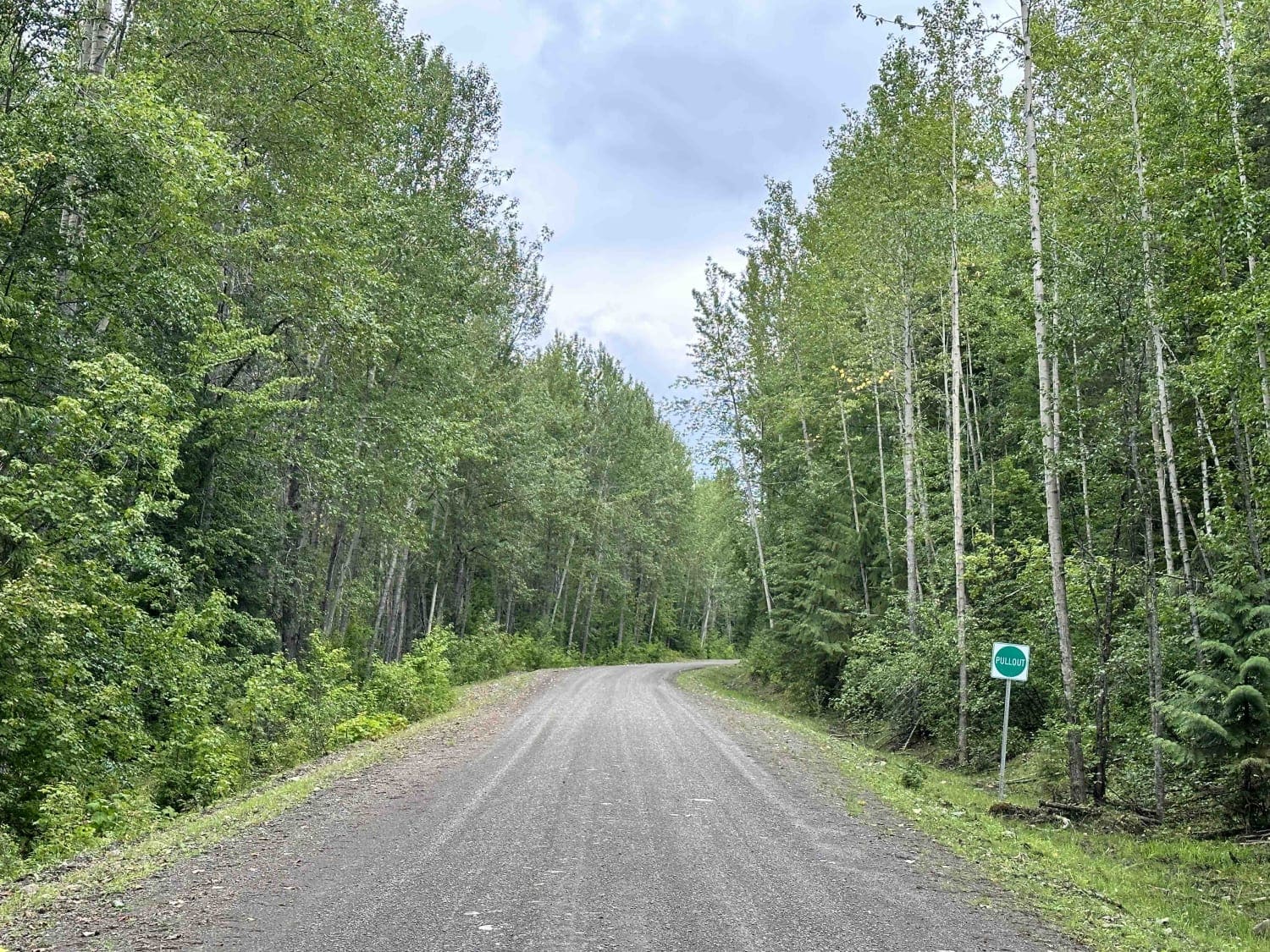
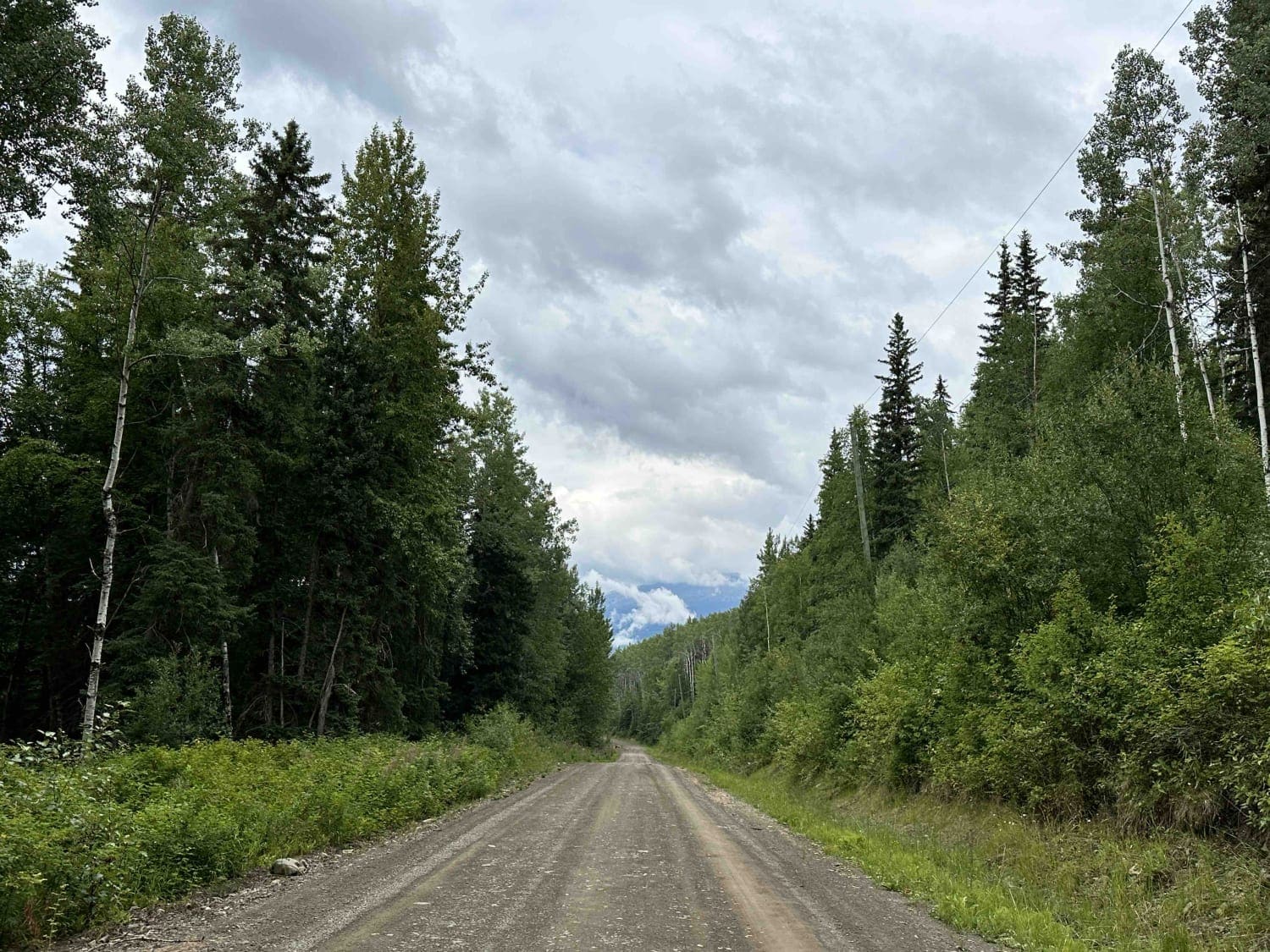
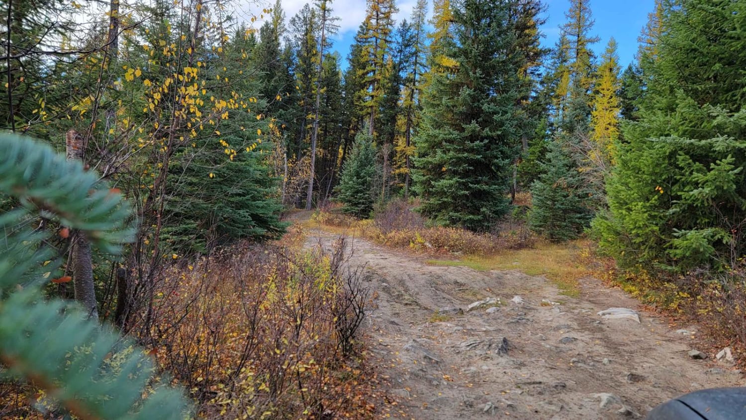
Blunt Creek FSR
Total Kilometers
30.7
Technical Rating
Best Time
Spring, Summer, Fall, Winter
Trail Type
Full-Width Road
Accessible By
Trail Overview
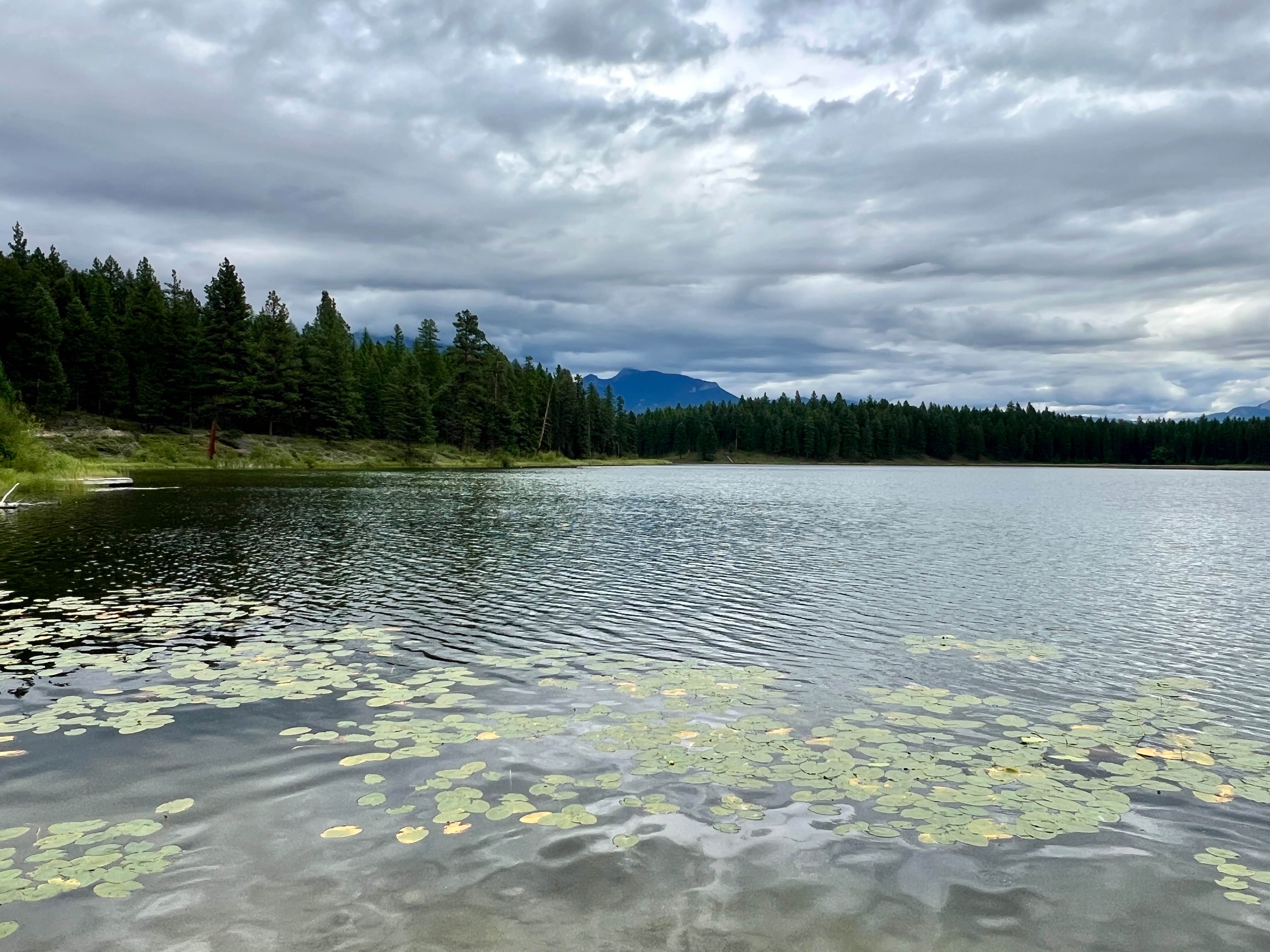
Blunt Creek is one of numerous routes in the interior near Smithers, British Columbia. The mainline road is well maintained for about 75% of the track until it narrows, as there is a less-traveled portion near the end of the route. A lot of old logging cut blocks in the area have provided a vast amount of areas to explore with the spur roads everywhere. There are some residential areas as well as First Nation lands in the area to be mindful of. Just before you get to the Forest Service Road, you drive through a traditional fishing area at a fast, rapid river. Folks fish with the use of nets and it is a pretty cool thing to watch.
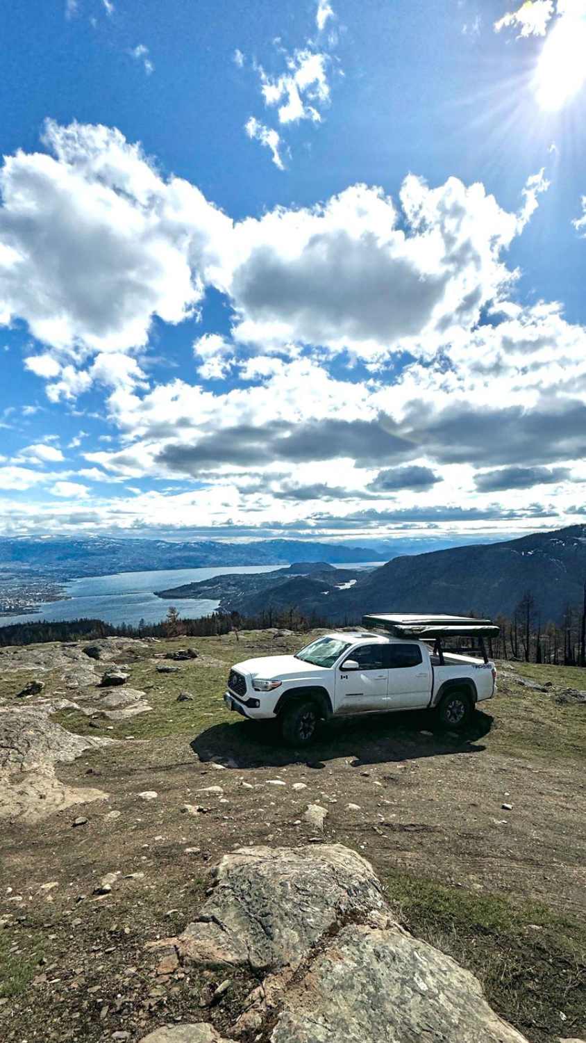
Photos of Blunt Creek FSR
Difficulty
These are relatively good road conditions. The deeper down the road you go, there becomes some mud and water-filled puddles and sections that aren't too deep or rutted. It's easy to drive through.
Blunt Creek FSR can be accessed by the following ride types:
- High-Clearance 4x4
- SUV
- SxS (60")
- ATV (50")
- Dirt Bike
Blunt Creek FSR Map
Popular Trails

Boot Lake
Blue Grouse Mountain Summit
The onX Offroad Difference
onX Offroad combines trail photos, descriptions, difficulty ratings, width restrictions, seasonality, and more in a user-friendly interface. Available on all devices, with offline access and full compatibility with CarPlay and Android Auto. Discover what you’re missing today!