Lost Knife
Total Kilometers
10.1
Technical Rating
Best Time
Summer
Trail Type
Full-Width Road
Accessible By
Trail Overview
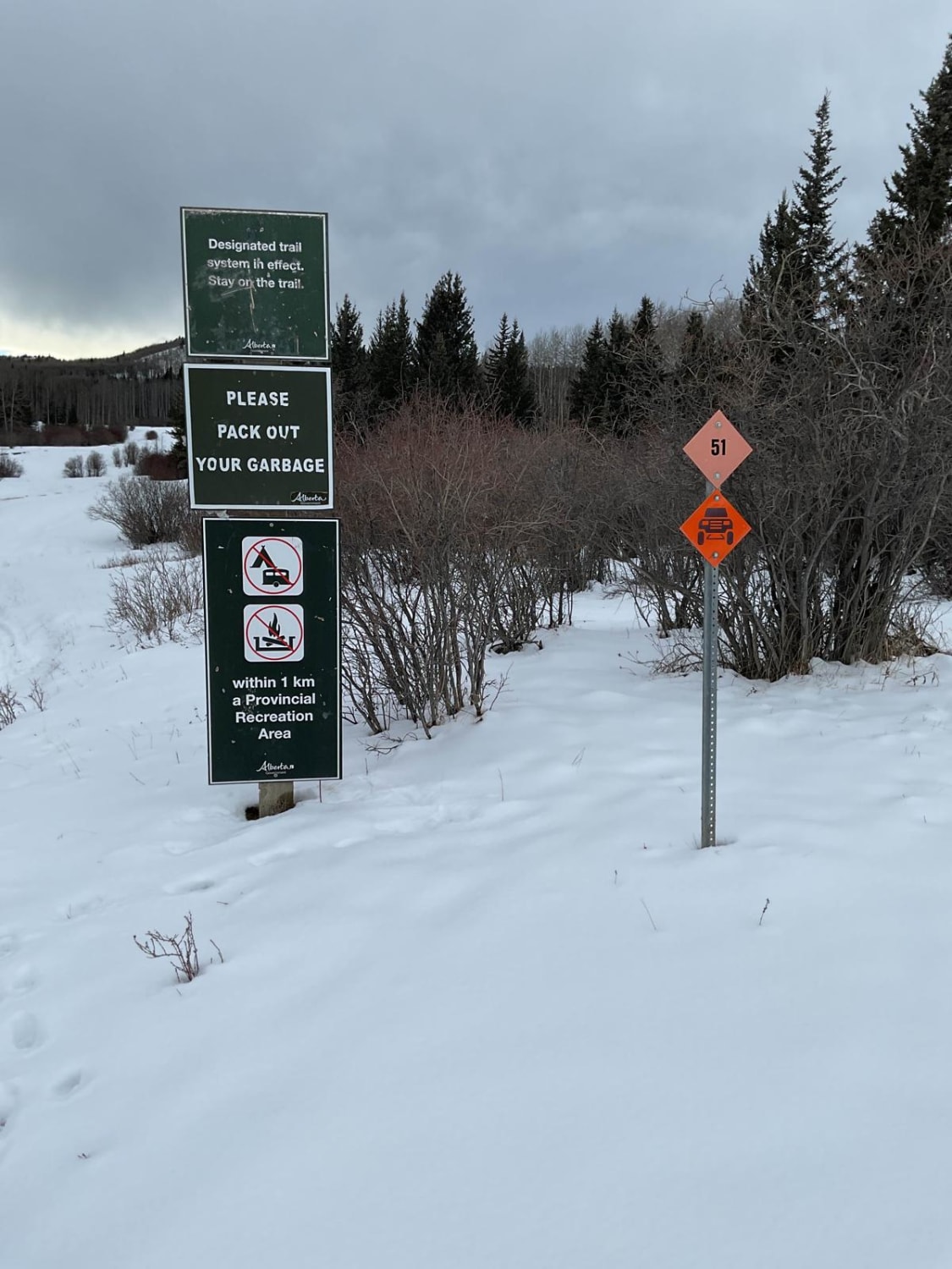
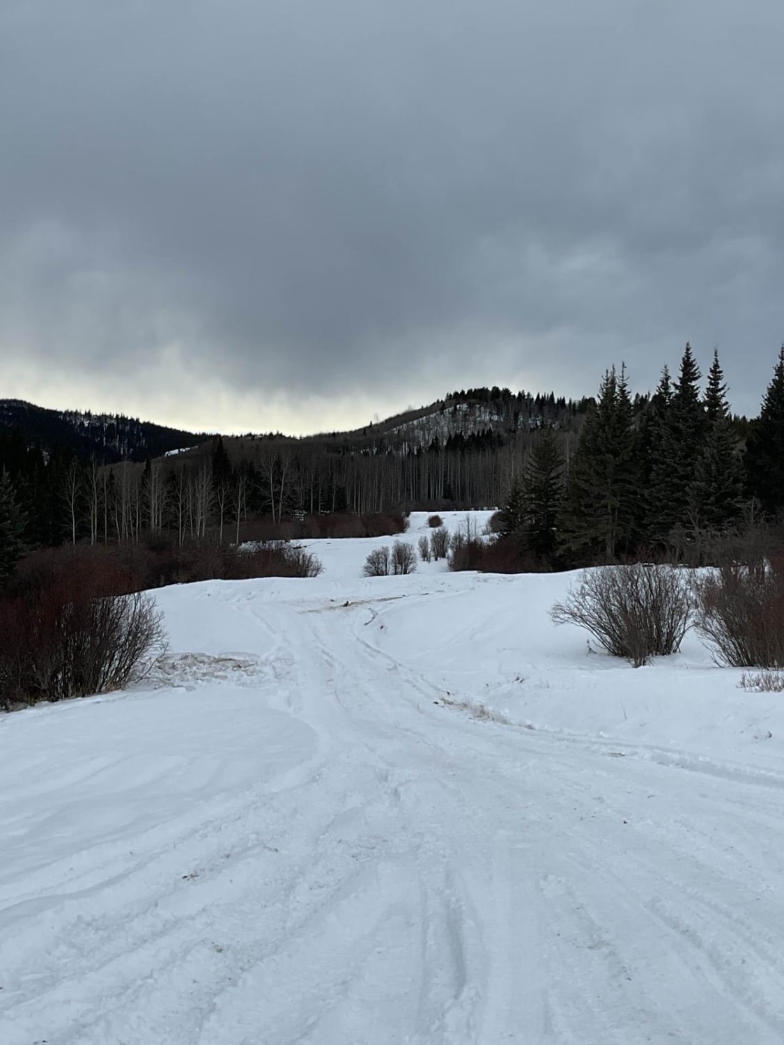
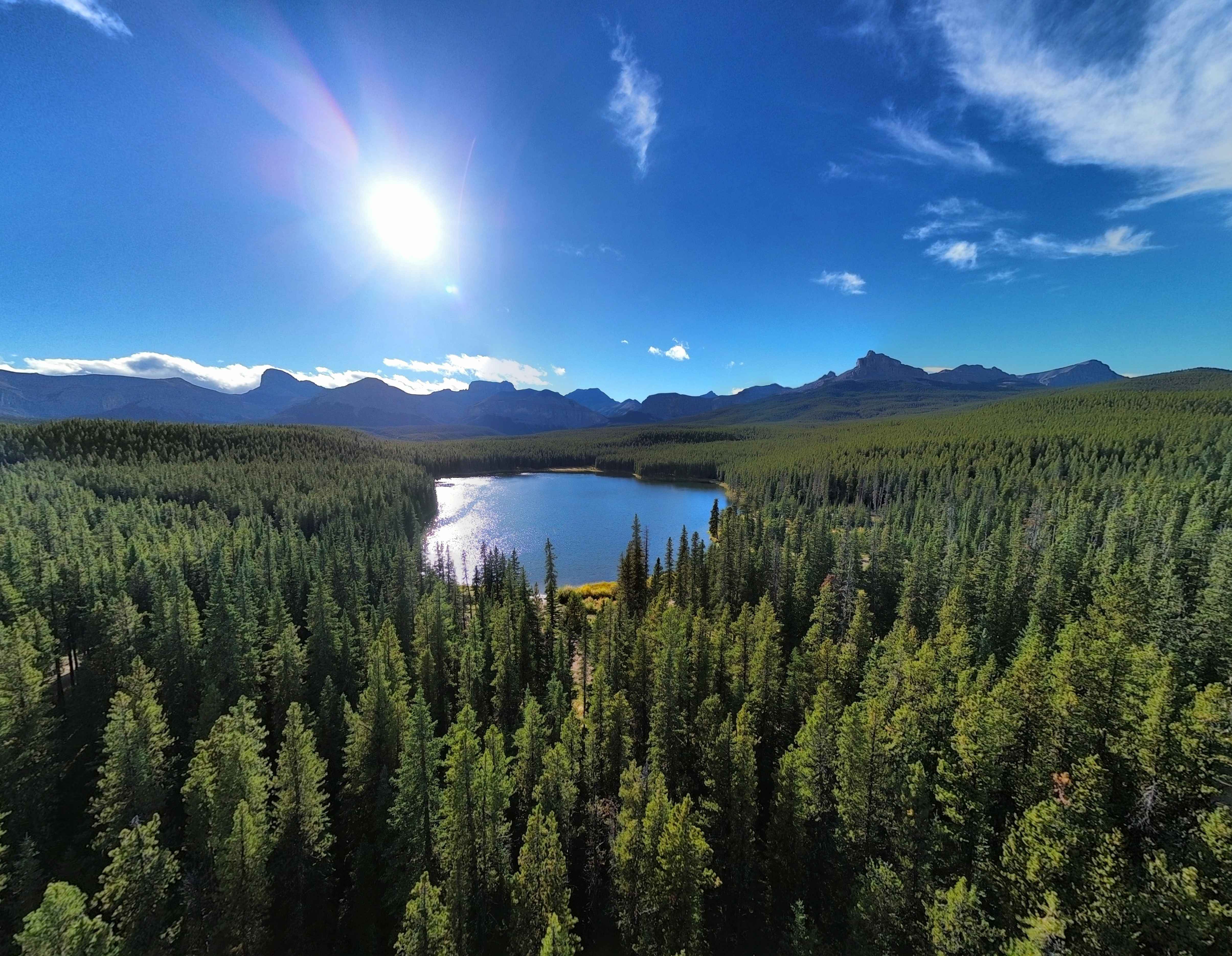
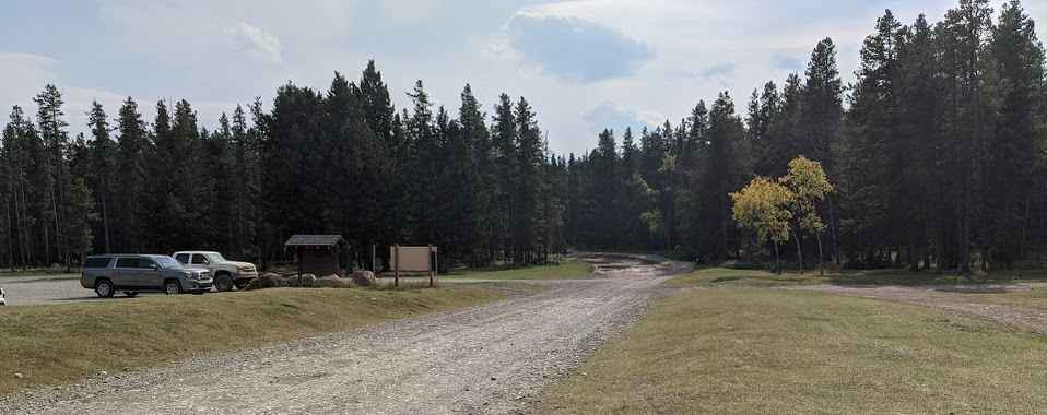
The trailhead is off Highway 40 west of Cochrane, just past the South Ghost Recreation Site. There's a wide-open area to stage at and air down if needed. Expect lots of snow during the winter; during warmer months, there's a fair amount of mud and deep ruts so decent tires are a must. There are bypasses for the bad spots if you're in a low-clearance vehicle or don't want to go in the ruts. This connects to the Meadow Creek Trail at roughly 10.5 kilometers. There are lots of little camp spots, and a few trails branch off this run as well, but make note: some trails have restrictions on trucks and only allow ATVs or dirt bikes.
Photos of Lost Knife
Difficulty
Most of the trail is dirt and rock. Spring and fall will make the muddy spots deep and very rutted, but there are lots of go-around areas. During winter, there can be very deep snow and potential for very icy sections.
Status Reports
Lost Knife can be accessed by the following ride types:
- High-Clearance 4x4
- SUV
- SxS (60")
- ATV (50")
- Dirt Bike
Lost Knife Map
Popular Trails
Allison Creek Road

Waiparous Valley Lookout
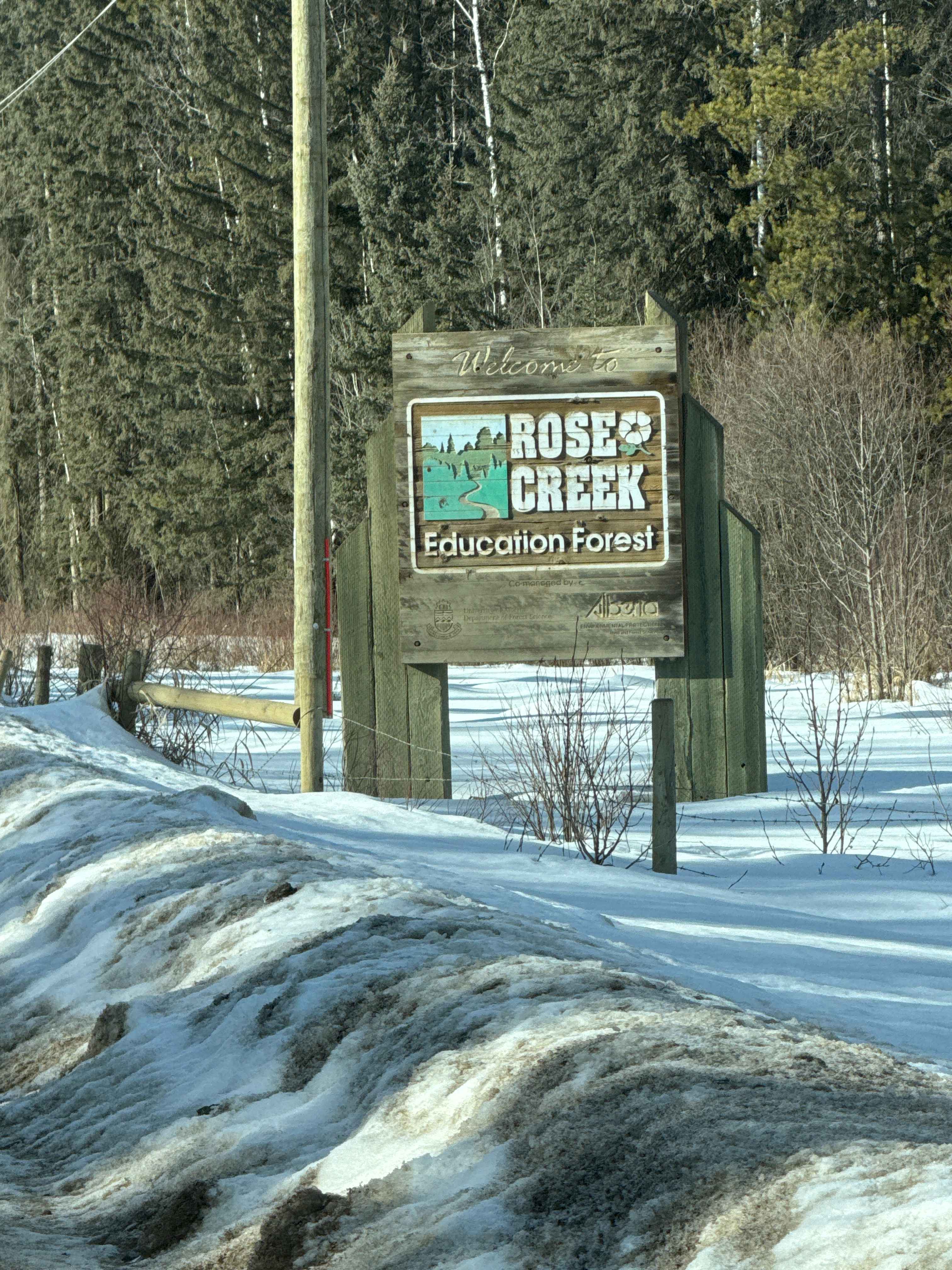
Rose Creek
The onX Offroad Difference
onX Offroad combines trail photos, descriptions, difficulty ratings, width restrictions, seasonality, and more in a user-friendly interface. Available on all devices, with offline access and full compatibility with CarPlay and Android Auto. Discover what you’re missing today!