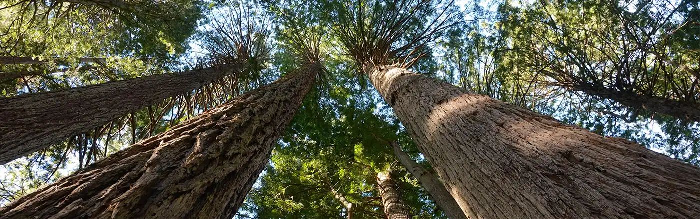
Dirt Bike Trails
Near Tobin, California
Explore All Dirt Bike Trails Near Tobin, California
Dirt Bike Trails Near Tobin, California
Discover the best dirt bike trails near you. Browse trail maps, check difficulty ratings, and find your next adventure — whether you're looking for a quick ride or an all-day expedition.
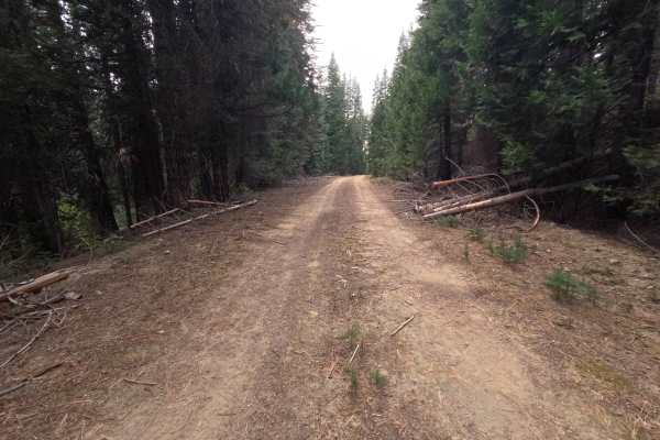
Tunnel Spur A - FS 23N42A
Tunnel Spur A (FS 23N42A) is a short out-and-back dirt spur branching off the Tunnel road (FS 23N42) in the Plumas National Forest, wrapping roughly 1.1 miles along the slope just below the mountaintop. The route stays nearly flat as it curves around the hillside through quiet, shaded timber, with l...
Learn more about Tunnel Spur A - FS 23N42A
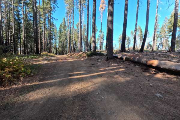
Rollin Buzzy - FS 23N73Y
Rollin Buzzy (FS 23N73Y) is a hard-packed gravel connector in the Plumas National Forest, winding through the high country to a junction with a paved road at one end. The route passes through country recovering from wildfire, where tall silver snags rise above stretches of surviving green forest and...
Learn more about Rollin Buzzy - FS 23N73Y
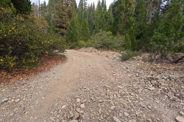
Tunnel - FS 23N42
Tunnel (FS 23N42) is a dirt-and-gravel road in the Plumas National Forest, climbing roughly 3.9 miles along a mountainside to a saddle, then pushing into tall, shaded forest. The lower section winds up the slope with cut banks on the uphill side and leafy brush crowding the edges. Just past the sadd...
Learn more about Tunnel - FS 23N42
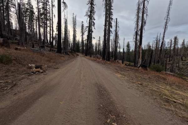
Bucks Lake - FS 24N33
Bucks Lake (FS 24N33) is a dirt road in the Plumas National Forest, running roughly 2.9 miles from the edge of green, shaded forest into a vast burn scar on the slopes above Bucks Lake. Once past the forest edge, the canopy opens completely, and hillsides of silver and blackened snags stand above a ...
Learn more about Bucks Lake - FS 24N33
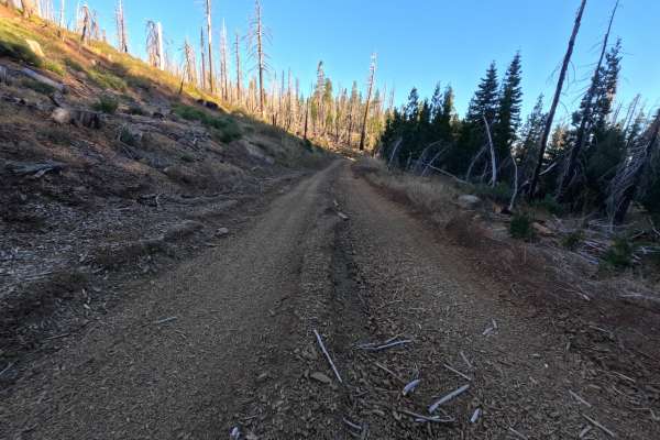
Jeep - FS 23N85Y
Jeep (FS 23N85Y) is a short gravel road in the Plumas National Forest, running roughly 1.1 miles out along a ridge, with a small brown post marked 23N85Y standing at the roadside. Much of the route crosses a vast burn scar, where tall silver and blackened snags rise above golden grass, low brush, an...
Learn more about Jeep - FS 23N85Y
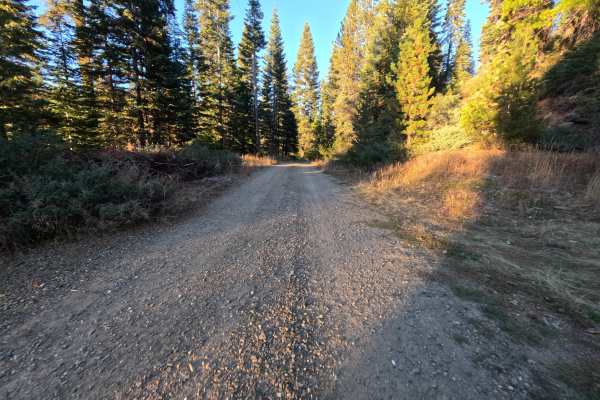
Grizzly Big Cr - FS 24N36
Grizzly Big Creek (FS 24N36) is a gravel connector in the Plumas National Forest, running along the hilltops parallel to Bucks Lake Road and linking that corridor with a paved road at its far end. The route winds through tall, shaded forest, with leafy brush along the shoulders that turns bright yel...
Learn more about Grizzly Big Cr - FS 24N36
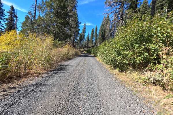
Dina - FS 23N95Y
Dina (FS 23N95Y) is a well-maintained gravel connector in the Plumas National Forest, linking Coldwater Road with the paved corridor of Bucks Lake Road. The drive alternates between stands of tall, shaded timber and open ridgetops recovering from wildfire, where weathered snags rise above golden hil...
Learn more about Dina - FS 23N95Y
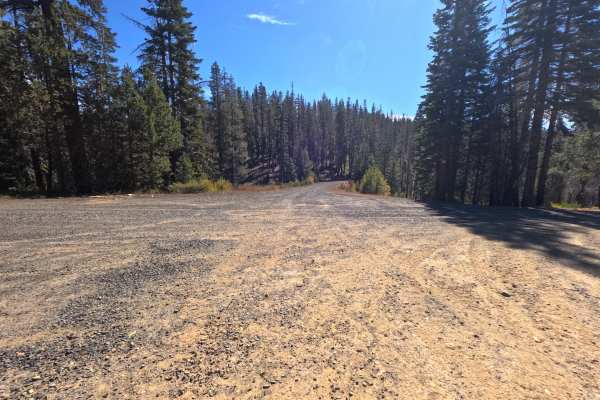
Grizzly Mtn - FS 23N70
Grizzly Mtn (FS 23N70) is a mountain dirt connector in the Plumas National Forest, linking Coquette Creek with China Gulch Road along the high slopes beneath Grizzly Mountain. The route traverses an expansive landscape recovering from wildfire, where tall blackened snags stand above dense manzanita,...
Learn more about Grizzly Mtn - FS 23N70
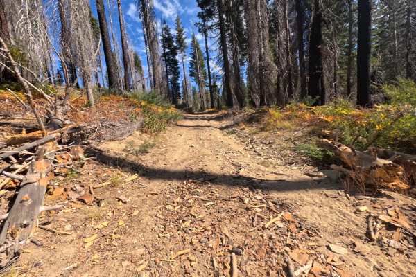
South Granite - FS 23N58Y
South Granite (FS 23N58Y) is a short gravel spur in the Plumas National Forest, following a creek drainage for roughly half a mile through a mix of tall, shaded timber and stands of fire-scarred snags. The opening stretch is a wide, firm gravel road with brushy shoulders and a soft layer of needles ...
Learn more about South Granite - FS 23N58Y
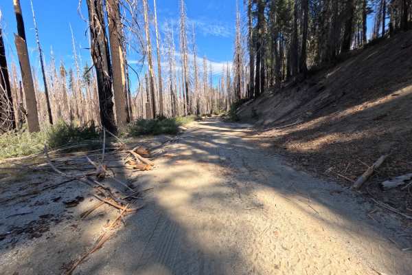
Granite Basin - FS 23N23
Granite Basin (FS 23N23) is a wide, easygoing gravel connector in the Plumas National Forest, linking Coldwater Road with a paved road near Bucks Lake Road as it winds through Granite Basin and climbs gently back toward the Coldwater corridor. The drive alternates between tall, shaded forest and ope...
Learn more about Granite Basin - FS 23N23
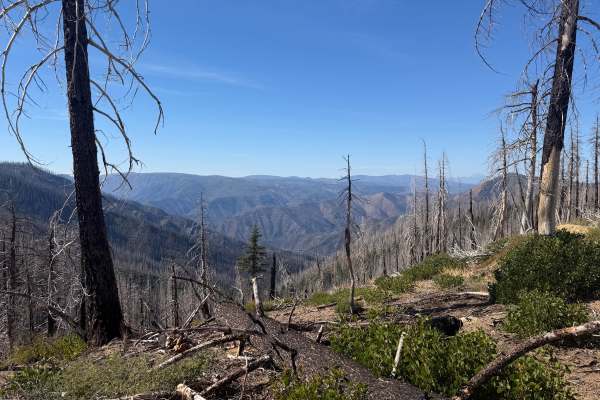
Mathis - FS 25N80
Mathis (FS 25N80) branches off Rattlesnake Ridge Road (FS 25N59) in the Plumas National Forest and winds around the slopes above Spanish Creek as an out-and-back dirt route. It starts briefly in a burn scar, then alternates between pockets of surviving green forest and open, fire-scarred hillsides w...
Learn more about Mathis - FS 25N80
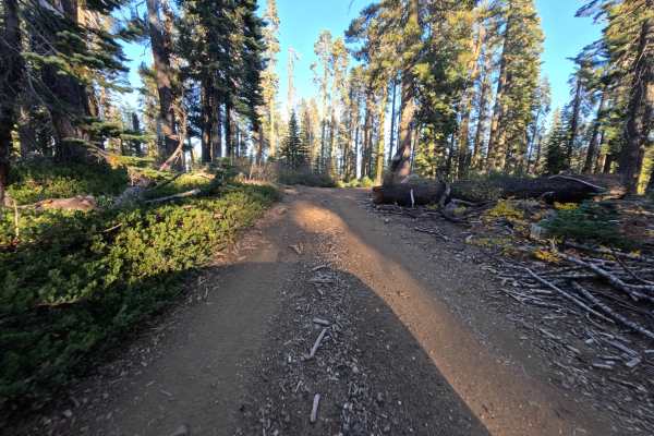
Poulsen - FS 23N74Y
Poulsen (FS 23N74Y) is a gentle dirt and gravel connector in the Plumas National Forest, linking Gravel Source Road (FS 23N19) with neighboring ridge spurs. The route winds through tall, shaded timber and open stands of mature pine, with low manzanita and mountain brush lining the shoulders. Much of...
Learn more about Poulsen - FS 23N74Y
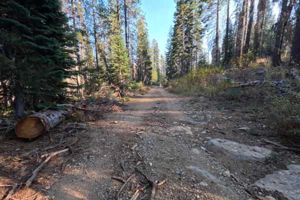
Ontop Mine - FS 23N57
Ontop Mine (FS 23N57) leaves the main forest road network in the Plumas National Forest and runs roughly 2.2 miles as a gravel spur into quiet high country. The road winds through stands of tall, shaded forest and open slopes recovering from wildfire, where standing snags rise above low mountain scr...
Learn more about Ontop Mine - FS 23N57
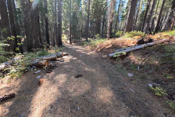
Magee Ridge - FS 23N31
Magee Ridge (FS 23N31) leaves the saddle on the Bear Ranch Hill road (FS 23N30) in the Plumas National Forest, marked by a small brown post reading 23N31, and winds roughly 2.5 miles through quiet forest toward Magee Ridge. The route is generally flat and appears to be regularly maintained, running ...
Learn more about Magee Ridge - FS 23N31
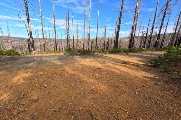
Fitzgerald - FS 23N39Y
Fitzgerald (FS 23N39Y) is a rustic dirt connector in the Plumas National Forest, winding across high-elevation ridgetops between Coldwater Road and neighboring forest gravel junctions. The drive alternates between stands of tall, shaded timber with thick carpets of pine needles and open hillsides re...
Learn more about Fitzgerald - FS 23N39Y
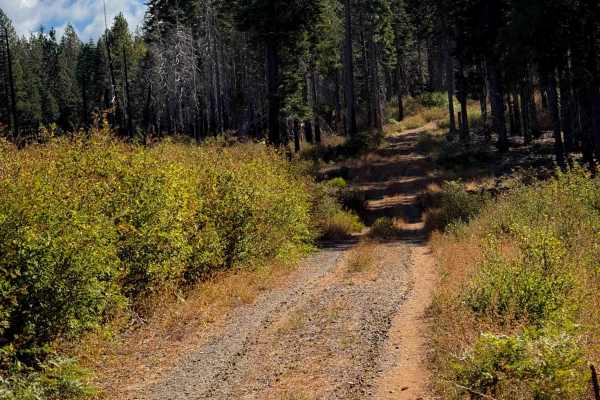
Magee Ridge
This is a short ATV trail in a remote and primitive section of the Plumas National Forest, accessed off of Four Trees Road. This area was damaged from a large fire in recent years. The entrance to this trail is not marked with a vehicle designation, and it is wide like a road, so it has probably had...
Learn more about Magee Ridge
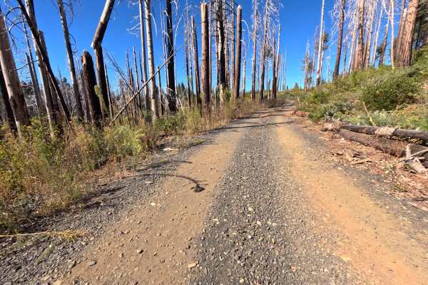
Bear Ranch Hill - FS 23N30
Bear Ranch Hill (FS 23N30) is a dirt and gravel road in the Plumas National Forest, climbing roughly 3.7 miles toward Bear Ranch Hill and passing several side spurs along the way. The lower section runs through tall, shaded forest with a soft layer of needles and oak leaves along the shoulders, and ...
Learn more about Bear Ranch Hill - FS 23N30
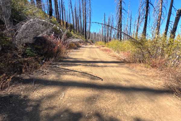
Meadow Valley Spur C - FS 24N30C
Meadow Valley Spur C (FS 24N30C) branches off the Meadow Valley road (FS 24N30) in the Plumas National Forest and follows a high ridge for roughly 1.7 miles as an out-and-back dirt spur, passing several side roads along the way. Much of the route crosses a sweeping burn scar, where tall silver and b...
Learn more about Meadow Valley Spur C - FS 24N30C
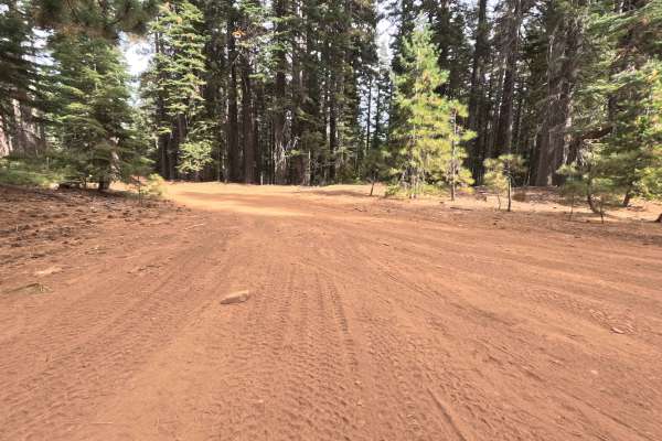
South Philbrook Tie - FS 25N07
South Philbrook Tie (FS 25N07) guides travelers through the lush, densely shaded high country toward Concow Road and the nearby waters of Philbrook Reservoir. This single-track soft dirt pathway immerses overlanders in a thriving, vibrant evergreen canopy within the Lassen National Forest, completel...
Learn more about South Philbrook Tie - FS 25N07
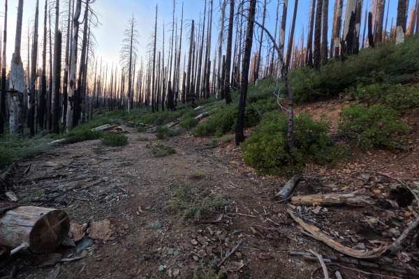
Buckhorn Cr - FS 23N83Y
Buckhorn Cr (FS 23N83Y) leaves Coldwater Road in the Plumas National Forest and runs roughly 1.1 miles as an out-and-back spur along quiet mountain contours. The drive traverses an open landscape recovering from wildfire, where tall blackened snags stand over dense low manzanita, young brush, and pa...
Learn more about Buckhorn Cr - FS 23N83Y
ATV trails near Tobin, California
Explore ATV-friendly trails near you. These trails are accessible for vehicles up to 50 inches wide, perfect for ATVs and smaller off-road machines.
Tunnel Spur A - FS 23N42A
Tunnel Spur A (FS 23N42A) is a short out-and-back dirt spur branching off the Tunnel road (FS 23N42) in the Plumas National Forest, wrapping roughly 1.1 miles along the slope just below the mountaintop. The route stays nearly flat as it curves around the hillside through quiet, shaded timber, with l...
Learn more about Tunnel Spur A - FS 23N42A
Rollin Buzzy - FS 23N73Y
Rollin Buzzy (FS 23N73Y) is a hard-packed gravel connector in the Plumas National Forest, winding through the high country to a junction with a paved road at one end. The route passes through country recovering from wildfire, where tall silver snags rise above stretches of surviving green forest and...
Learn more about Rollin Buzzy - FS 23N73Y
Tunnel - FS 23N42
Tunnel (FS 23N42) is a dirt-and-gravel road in the Plumas National Forest, climbing roughly 3.9 miles along a mountainside to a saddle, then pushing into tall, shaded forest. The lower section winds up the slope with cut banks on the uphill side and leafy brush crowding the edges. Just past the sadd...
Learn more about Tunnel - FS 23N42
Bucks Lake - FS 24N33
Bucks Lake (FS 24N33) is a dirt road in the Plumas National Forest, running roughly 2.9 miles from the edge of green, shaded forest into a vast burn scar on the slopes above Bucks Lake. Once past the forest edge, the canopy opens completely, and hillsides of silver and blackened snags stand above a ...
Learn more about Bucks Lake - FS 24N33
UTV/side-by-side trails near Tobin, California
Find UTV and side-by-side trails near you. These trails accommodate vehicles up to 60 inches wide, ideal for UTVs, side-by-sides, and wider off-road rigs.
Tunnel Spur A - FS 23N42A
Tunnel Spur A (FS 23N42A) is a short out-and-back dirt spur branching off the Tunnel road (FS 23N42) in the Plumas National Forest, wrapping roughly 1.1 miles along the slope just below the mountaintop. The route stays nearly flat as it curves around the hillside through quiet, shaded timber, with l...
Learn more about Tunnel Spur A - FS 23N42A
Rollin Buzzy - FS 23N73Y
Rollin Buzzy (FS 23N73Y) is a hard-packed gravel connector in the Plumas National Forest, winding through the high country to a junction with a paved road at one end. The route passes through country recovering from wildfire, where tall silver snags rise above stretches of surviving green forest and...
Learn more about Rollin Buzzy - FS 23N73Y
Tunnel - FS 23N42
Tunnel (FS 23N42) is a dirt-and-gravel road in the Plumas National Forest, climbing roughly 3.9 miles along a mountainside to a saddle, then pushing into tall, shaded forest. The lower section winds up the slope with cut banks on the uphill side and leafy brush crowding the edges. Just past the sadd...
Learn more about Tunnel - FS 23N42
Bucks Lake - FS 24N33
Bucks Lake (FS 24N33) is a dirt road in the Plumas National Forest, running roughly 2.9 miles from the edge of green, shaded forest into a vast burn scar on the slopes above Bucks Lake. Once past the forest edge, the canopy opens completely, and hillsides of silver and blackened snags stand above a ...
Learn more about Bucks Lake - FS 24N33
The onX Offroad Difference
onX Offroad combines trail photos, descriptions, difficulty ratings, width restrictions, seasonality, and more in a user-friendly interface. Available on all devices, with offline access and full compatibility with CarPlay and Android Auto. Discover what you're missing today!
Open Trail Map