Trail Overview
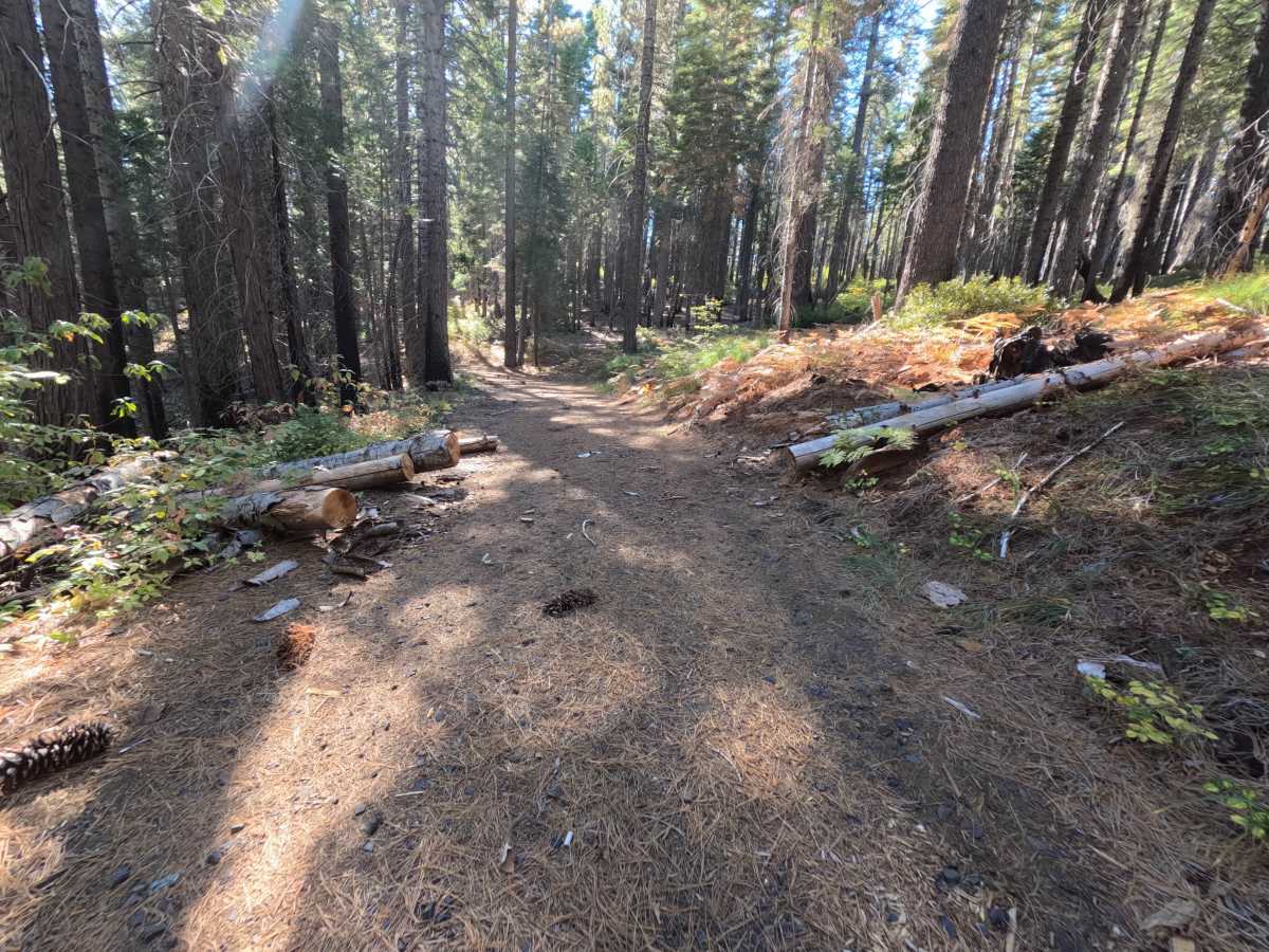
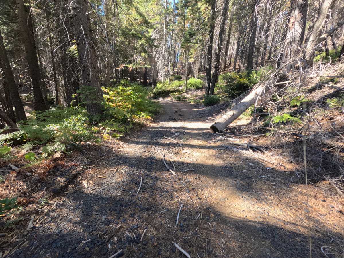
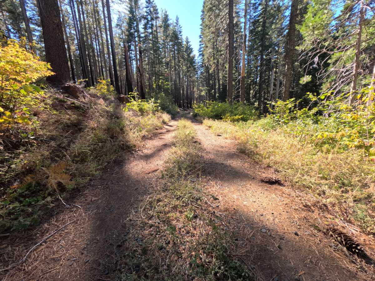
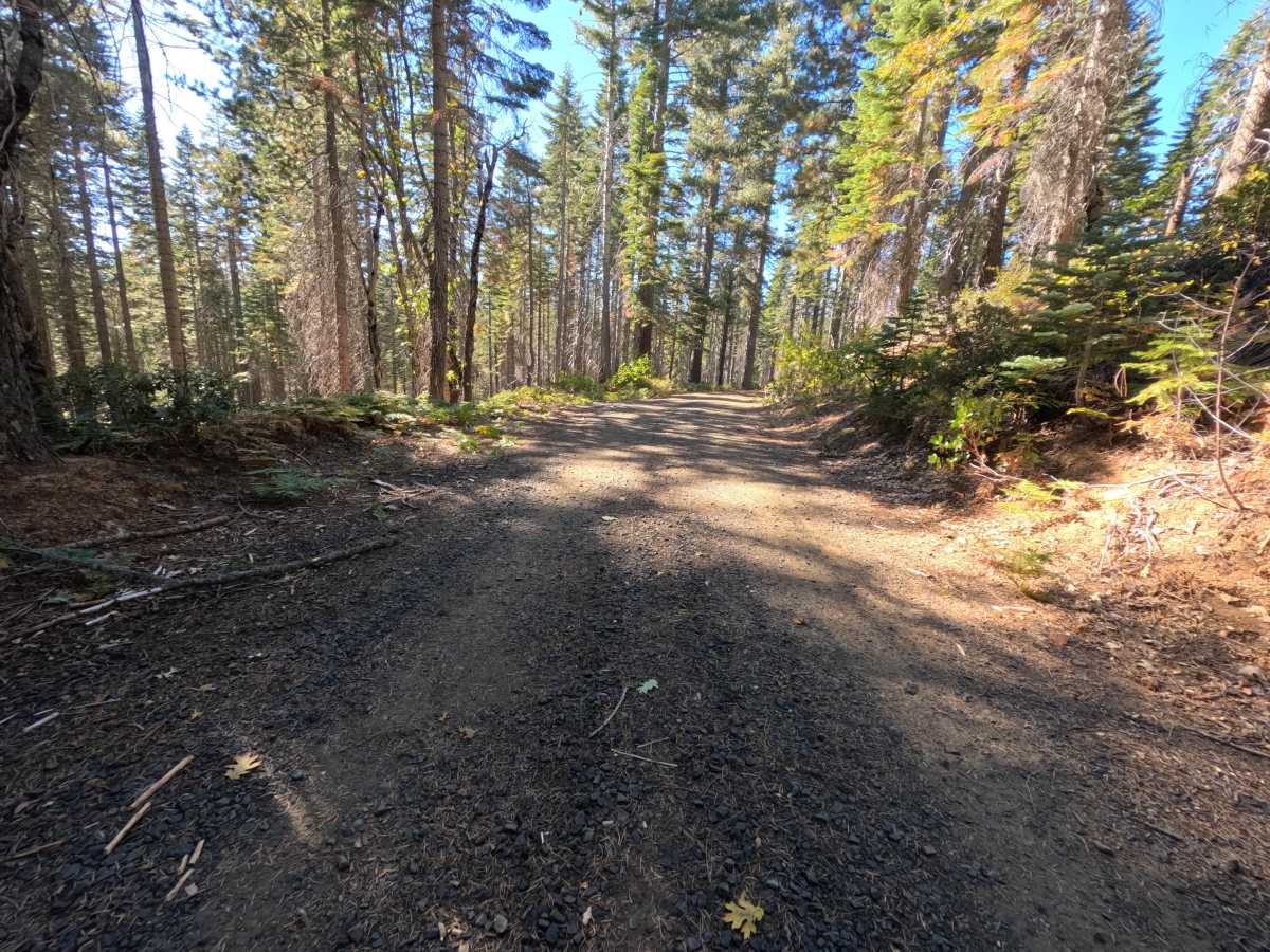
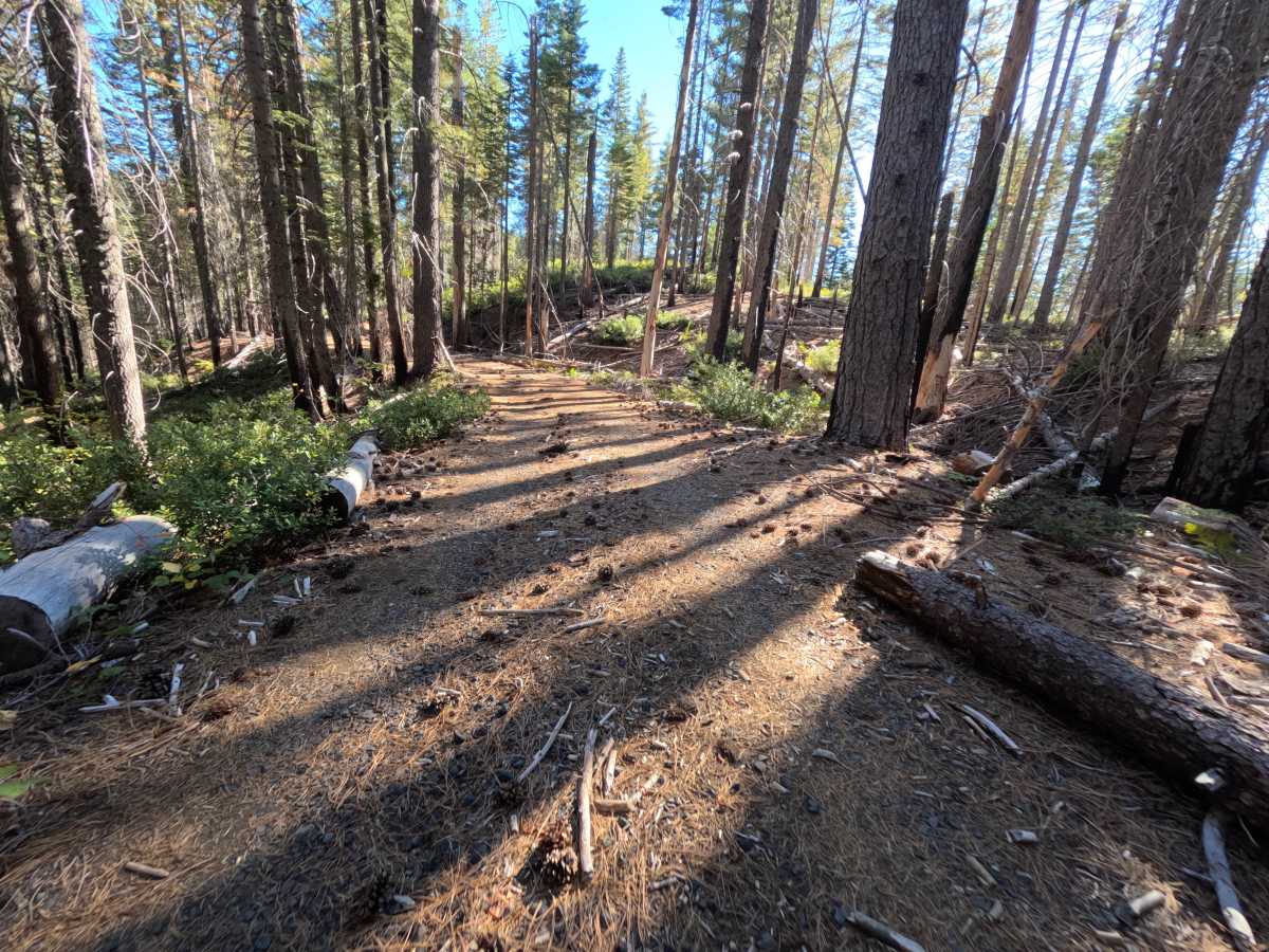
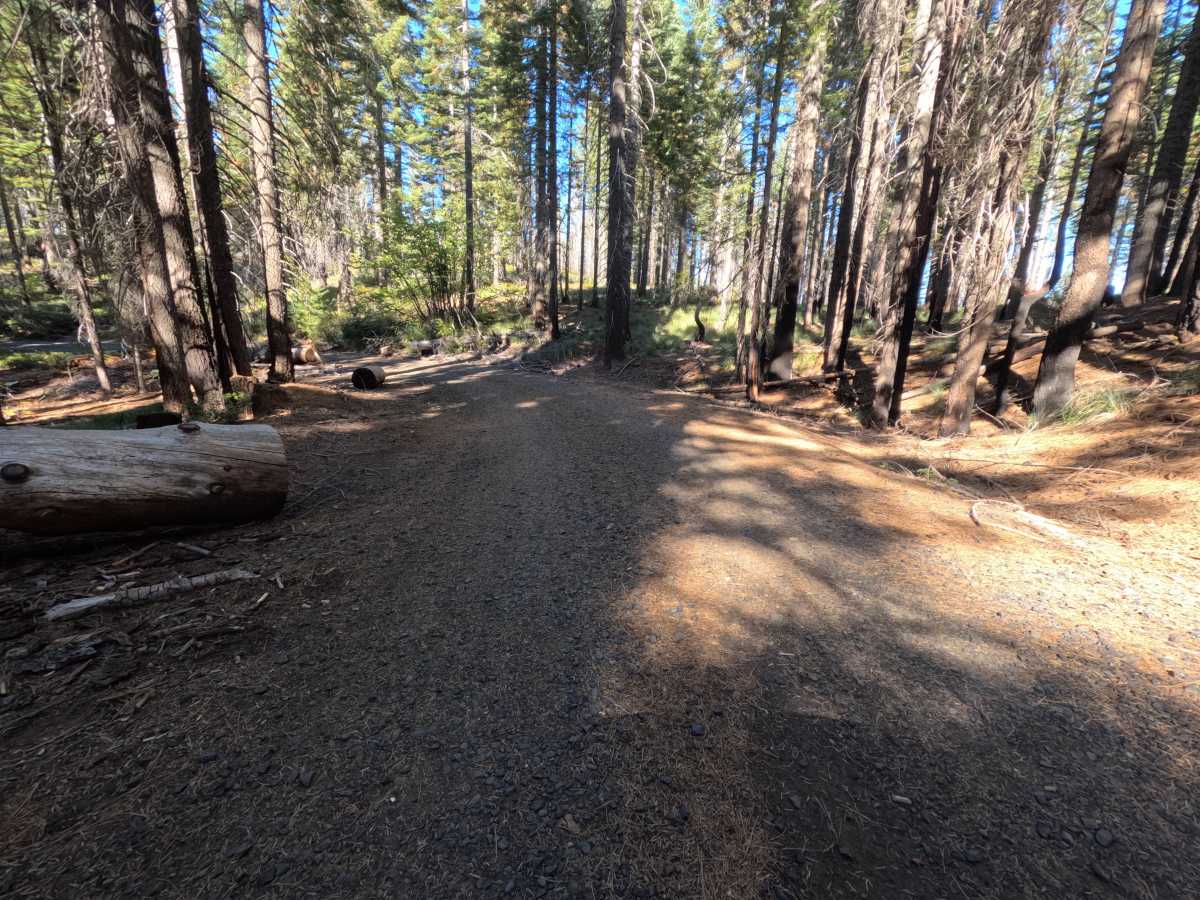
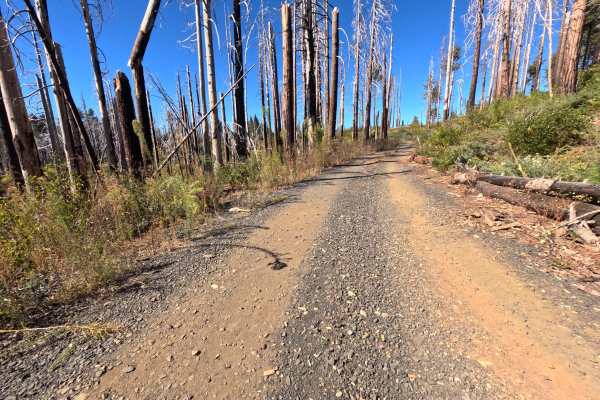
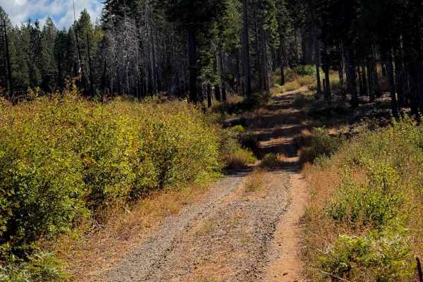
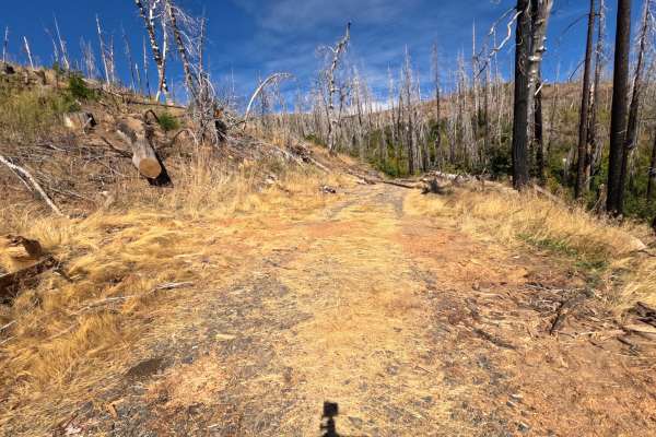
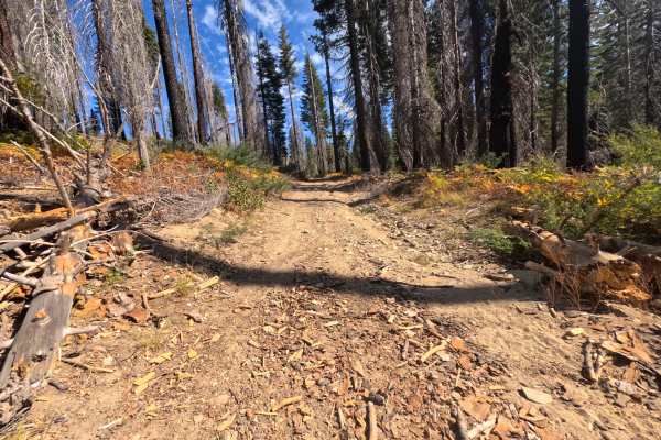
Magee Ridge (FS 23N31) leaves the saddle on the Bear Ranch Hill road (FS 23N30) in the Plumas National Forest, marked by a small brown post reading 23N31, and winds roughly 2.5 miles through quiet forest toward Magee Ridge. The route is generally flat and appears to be regularly maintained, running beneath tall, shaded timber with fire-darkened trunks from past burns, brushy shoulders, and a soft layer of needles and cones along the edges. Fall brings splashes of yellow and gold to the understory. The surface is a wide, firm road of dark gravel and packed dirt, narrowing in a few spots to a two-track with a strip of low grass down the center. The road ends where it meets a motorcycle trail, and a roomy dispersed campsite just around the final bend has space for two large vehicles and room to turn around. There are no overlooks or developed sites along the way. Summer and fall offer the best conditions.
Difficulty
Rated a 1 because this is a flat, well-maintained gravel road with no meaningful obstacles. Small loose stones, pine cones, and fallen twigs are scattered across the surface, and low grass grows down the center in a few narrower stretches. There are no ruts, rock obstacles, ledges, steep pitches, or water crossings anywhere along the route. Standard ground clearance is all that is needed.

 Offroad