Trail Overview
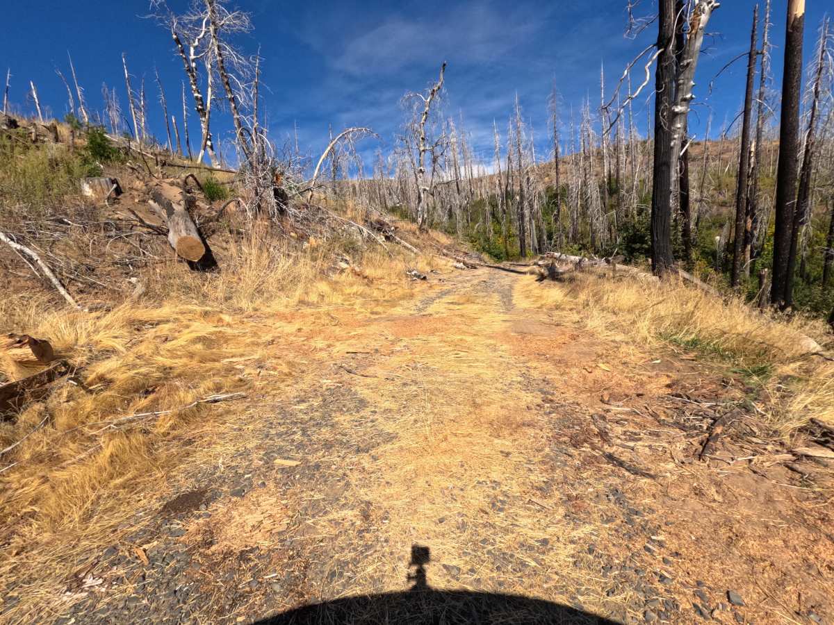
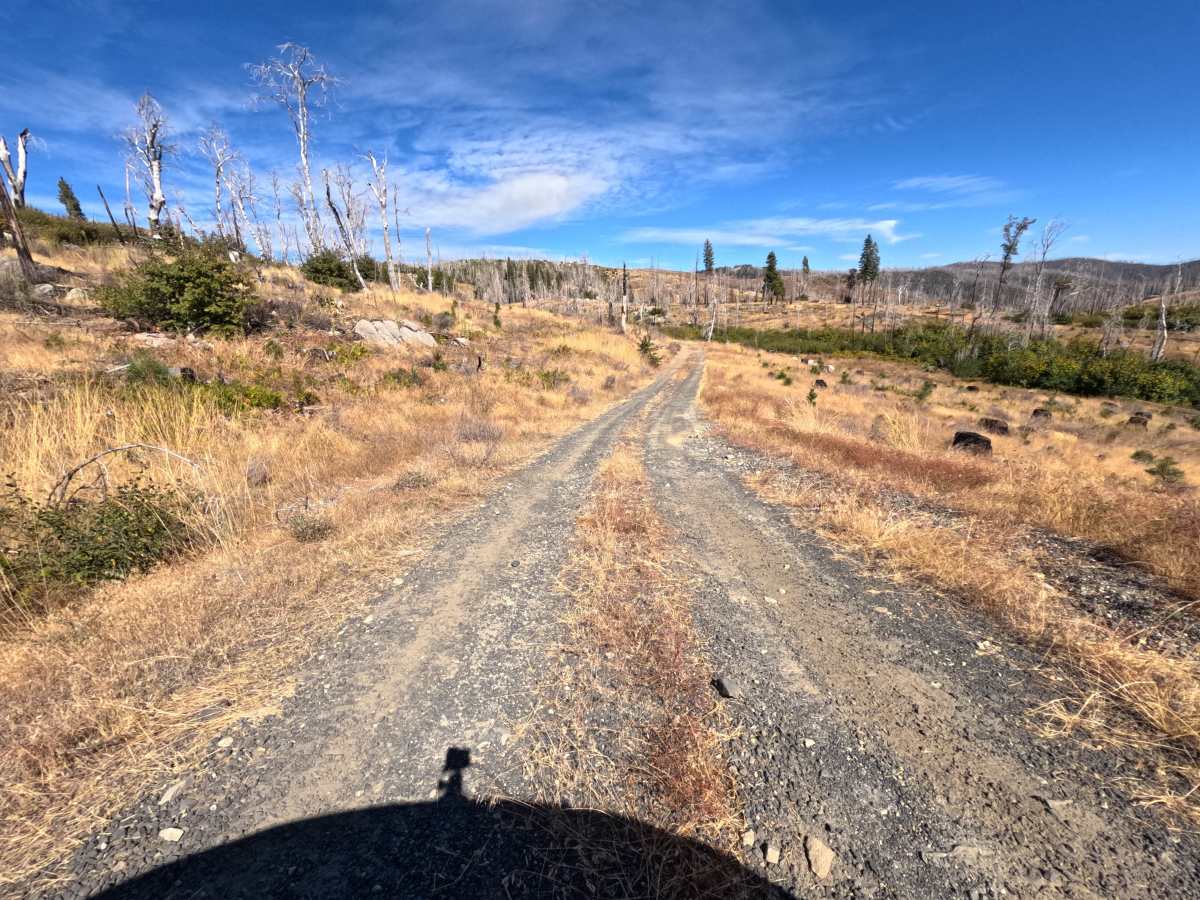
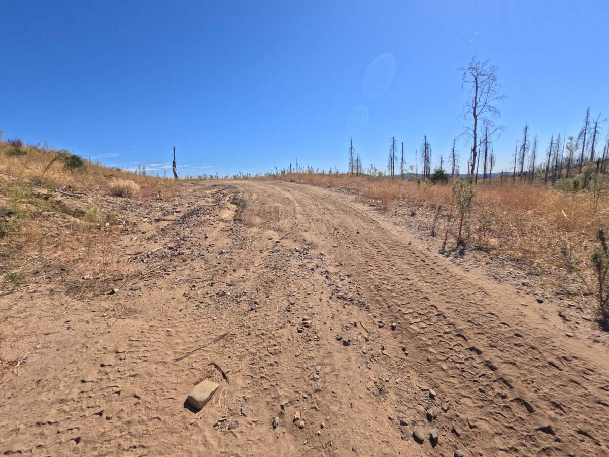
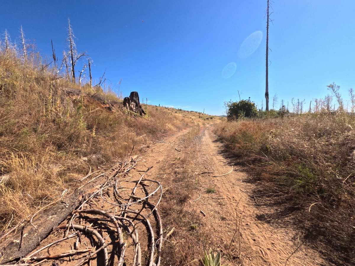
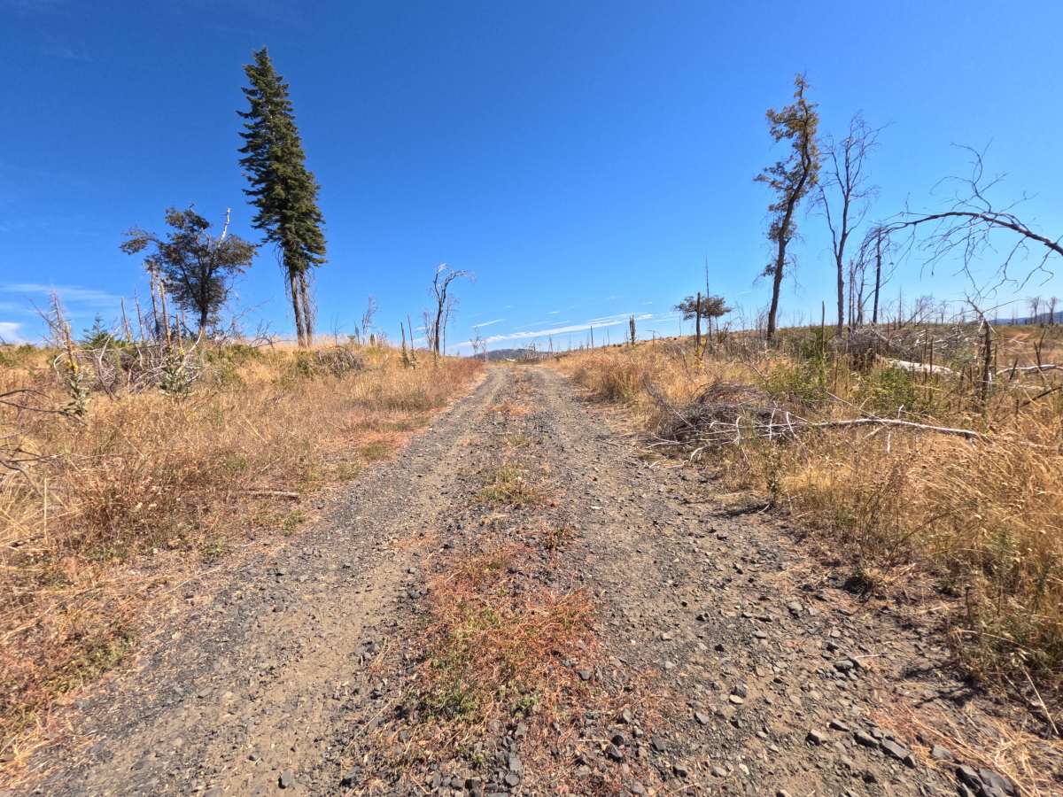
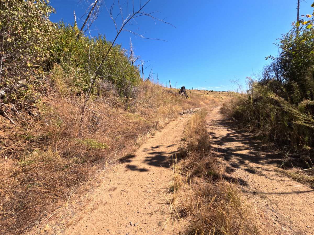
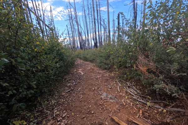
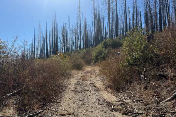
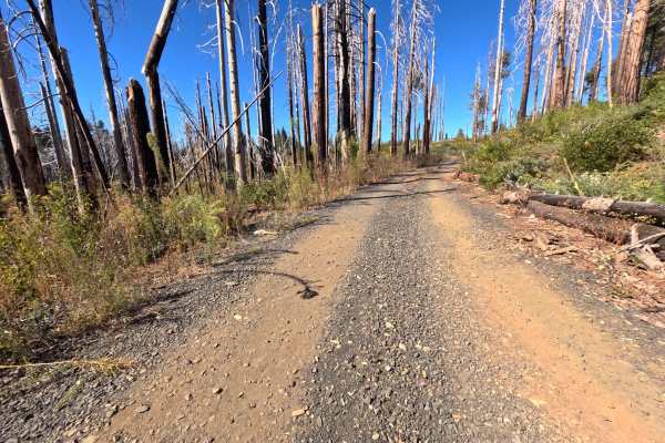
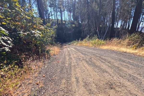
Jordan Retreat (FS 22N08Y) is a short out-and-back gravel road in the Plumas National Forest, running roughly a mile along the hillsides of a lower valley through a vast burn scar. With the canopy gone, the drive is wide open, with silver snags standing above golden grass and thick regrowth of brush that glows yellow and gold in fall, and long views stretch across rolling burned ridges and distant mountains. The surface is a wide road of dark gravel and packed dirt, generally flat, with a grassy strip down the center in places, a scattering of loose cobbles, and a few shallow ruts in the wheel paths. Near the far end, the route curves into a brushy drainage bend, where an open patch of ground offers room to turn around. There are no campsites, overlooks, or through-connections along the way. The draw is a quick, scenic drive through recovering country. Summer and fall offer the best conditions.
Difficulty
Rated a 1 because this is a wide, generally flat gravel and dirt road with no meaningful obstacles. A few minor ruts run along the wheel paths, and loose cobbles and small stones are scattered across the surface in places, but none of it requires special care at a relaxed pace. There are no rock obstacles, ledges, steep pitches, or water crossings anywhere along the route. Standard ground clearance is all that is needed.