Trail Overview
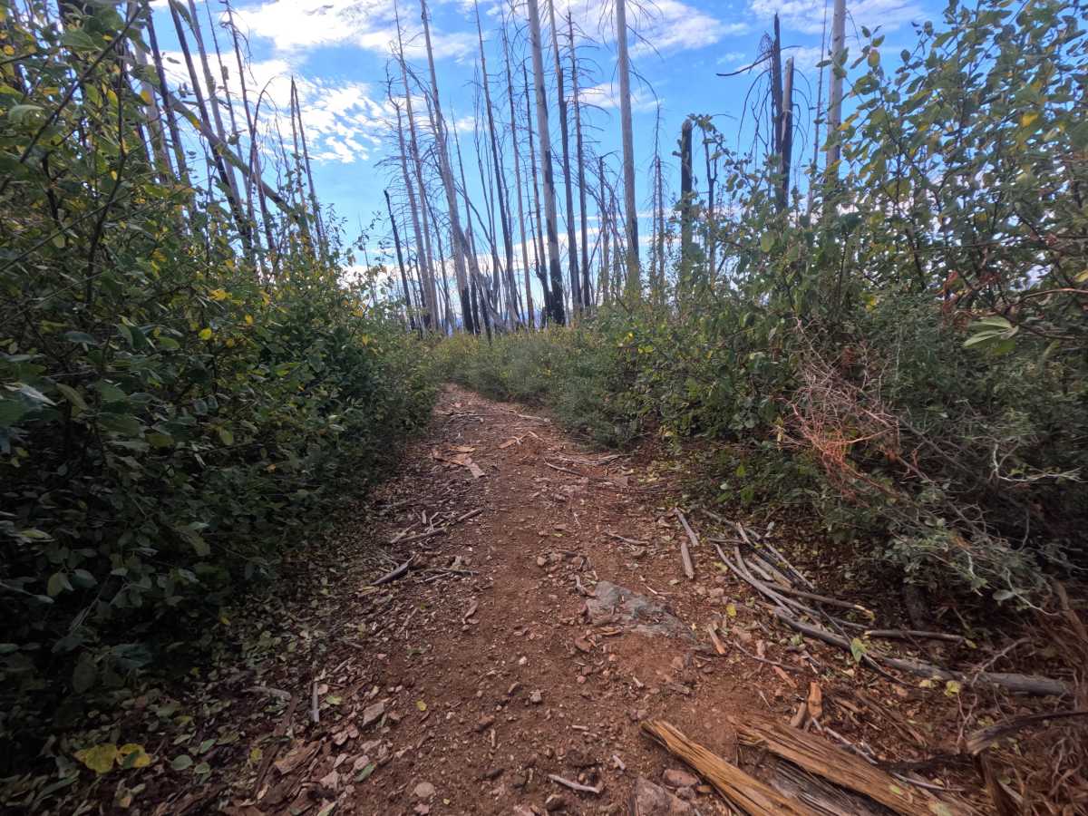
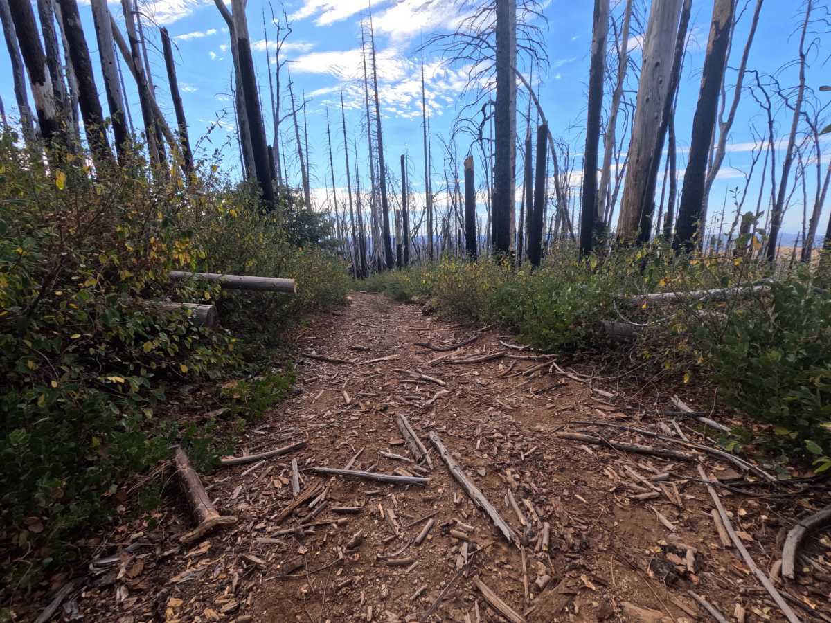
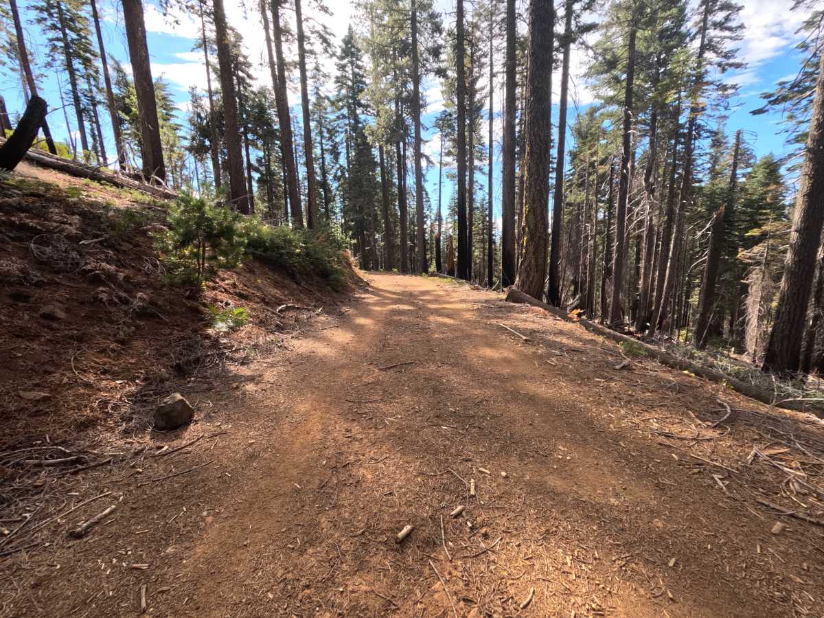
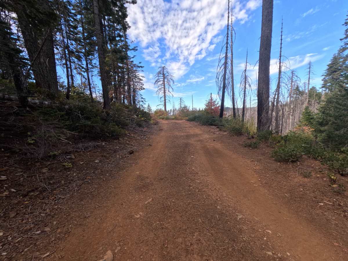
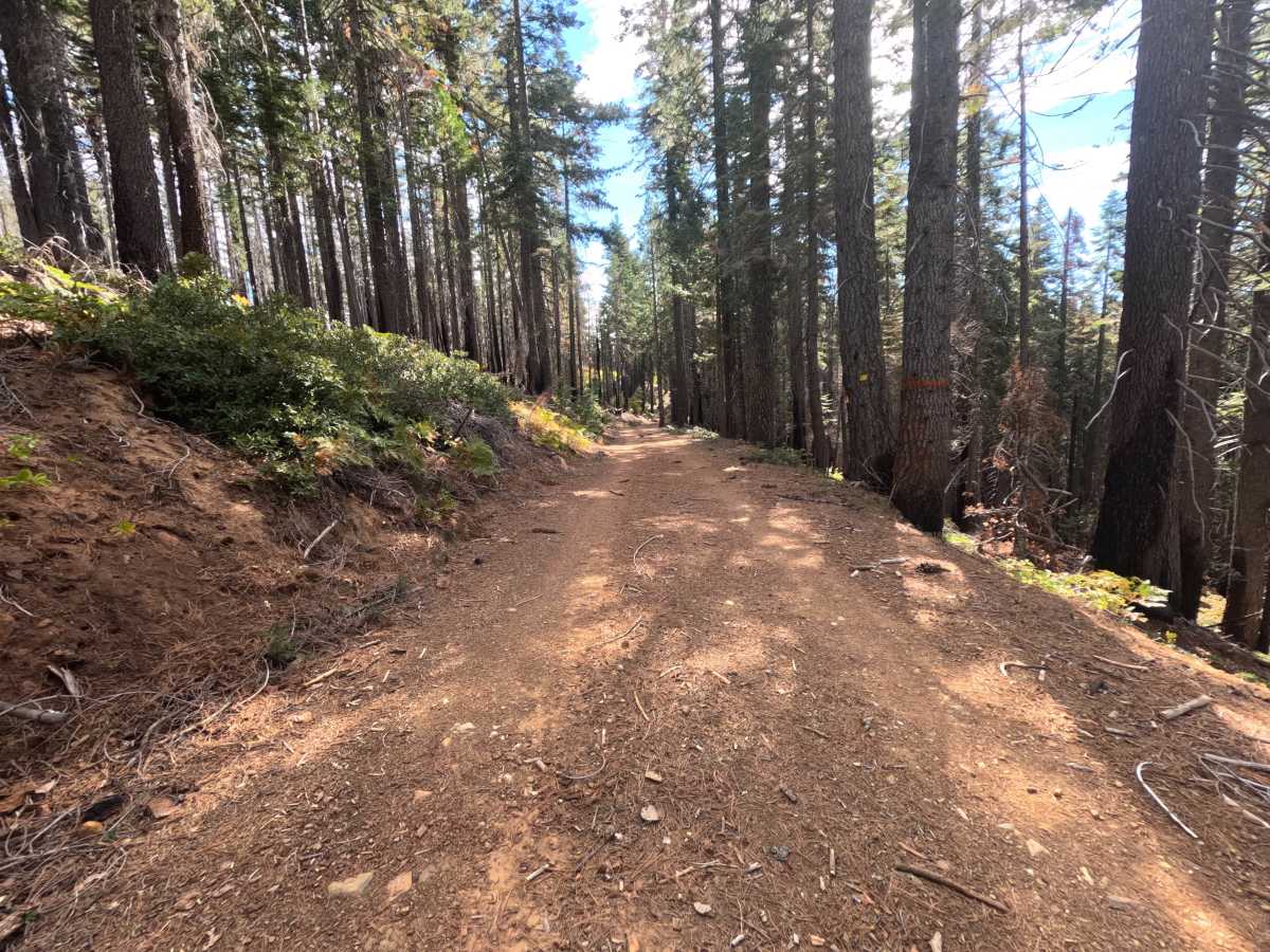
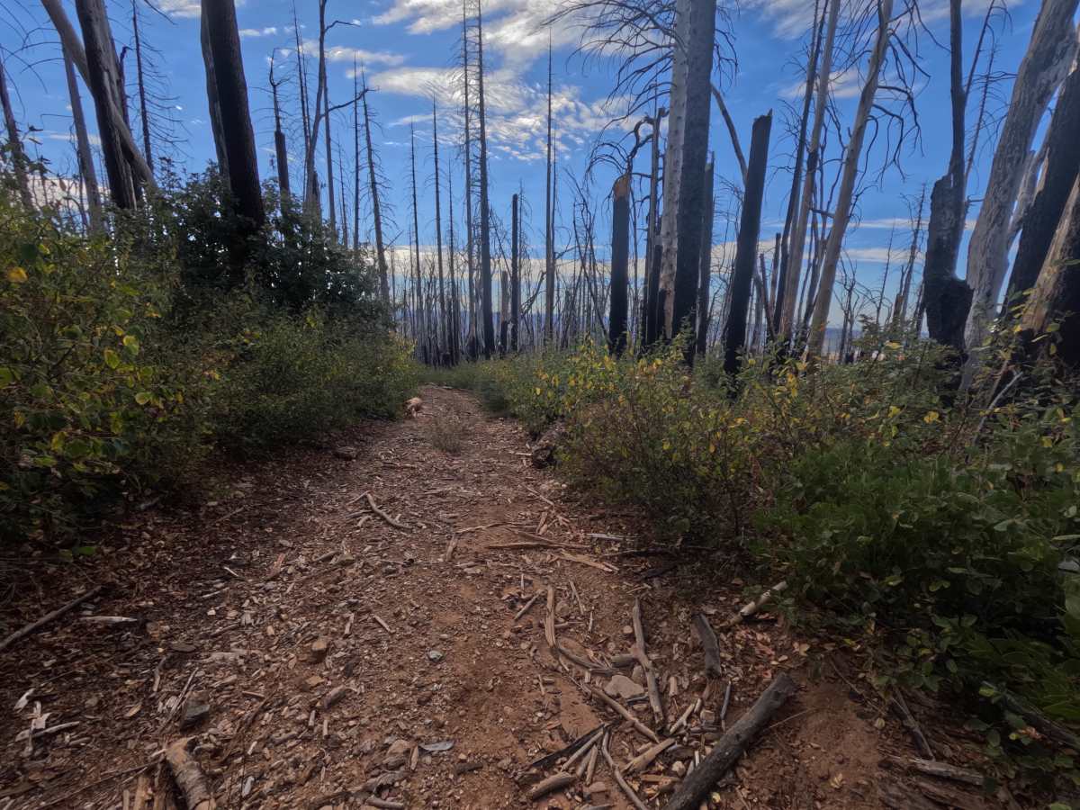
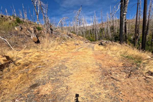
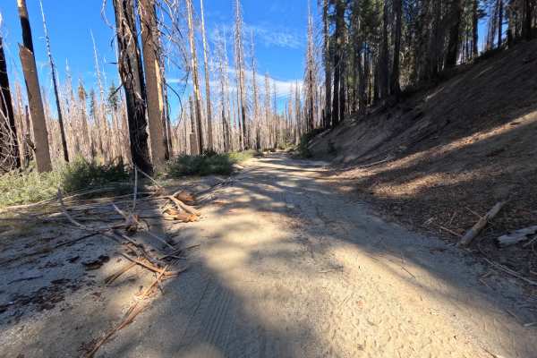
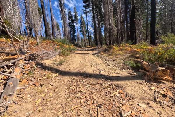
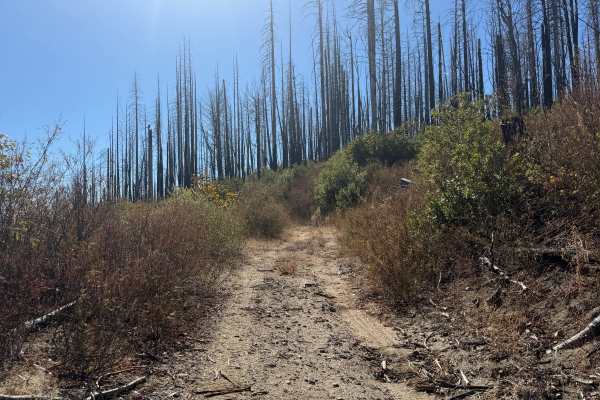
Rock Island Ridge (FS 23N27) is a short out-and-back dirt spur off Gravel Range road in the Plumas National Forest, following a ridgeline for just under a mile before reaching a turnaround. The first stretch is a wide, hard-packed red dirt and gravel road benched into the hillside beneath tall, shaded timber, with a cut bank on the uphill side and splashes of red and gold brush in fall. Partway along, a small dispersed campsite has room for one or two vehicles. As the road begins to descend, it enters a heavy burn scar, where dense stands of silver and blackened snags rise above thick regrowth of green shrubs that crowd both sides of a narrowing two-track. In this section the tread turns rougher, with loose, broken rock and bits of bark and wood scattered across the surface. The route ends at a broad, open gravel flat with plenty of room to turn around. Summer and fall offer the best conditions.
Difficulty
Rated a 2 for the descent into the burn scar, where the road narrows to a two-track hemmed in by thick brush and loose, broken rock and wood debris cover the tread. A slower pace helps with traction and keeps brush contact to a minimum. The opening stretch is a wide, smooth dirt and gravel road, and there are no ruts, ledges, steep pitches, or water crossings, which keeps the rating from going higher. Moderate ground clearance is enough.