Trail Overview
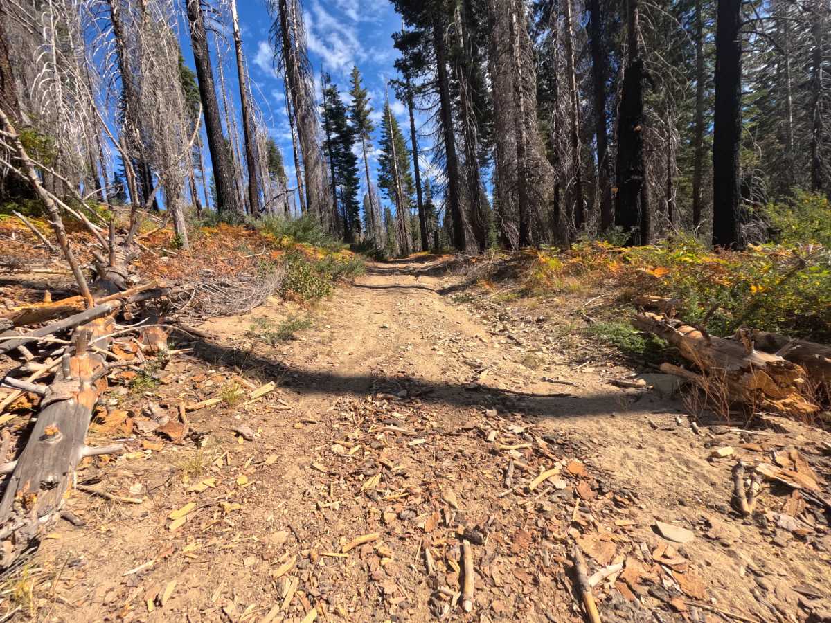
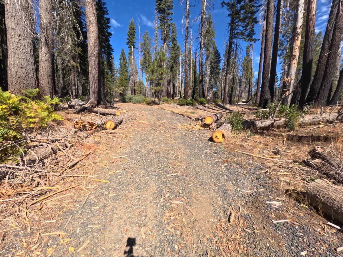
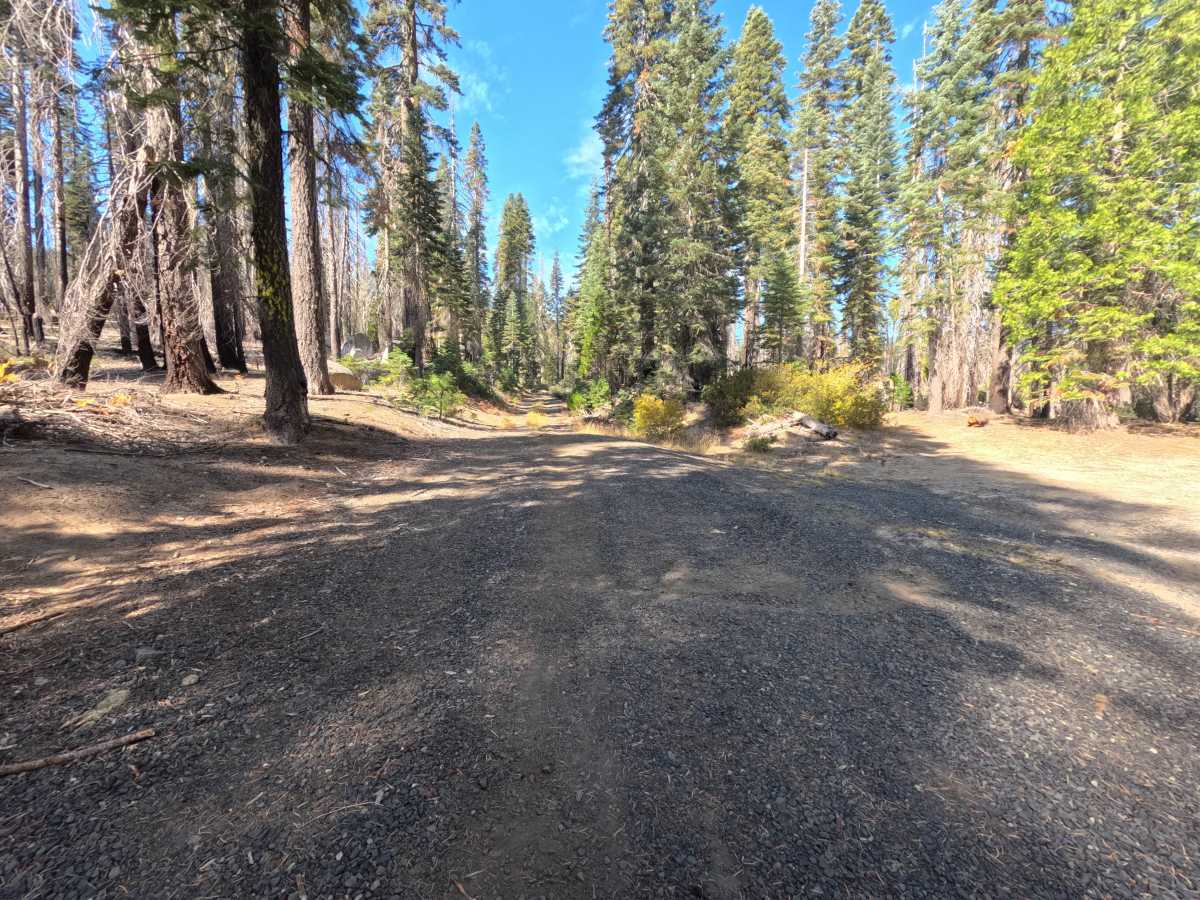
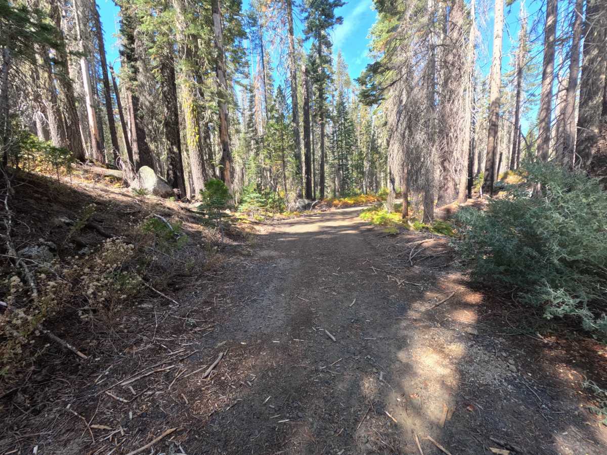
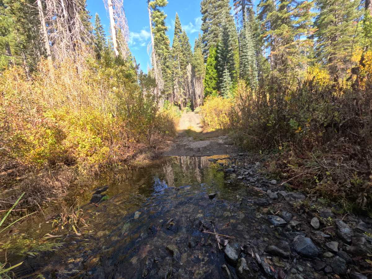
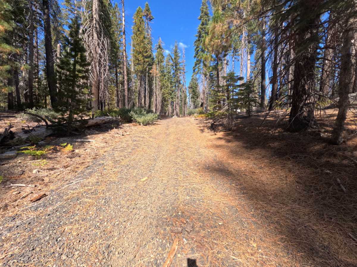
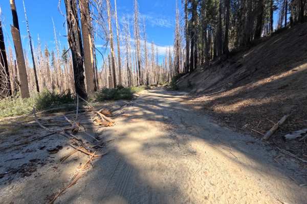
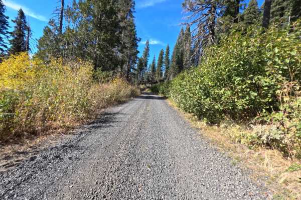
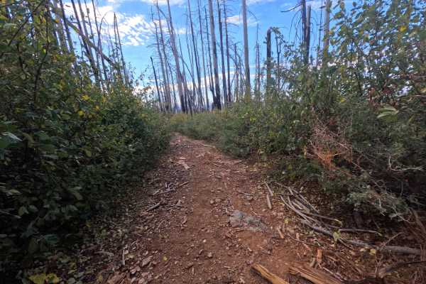
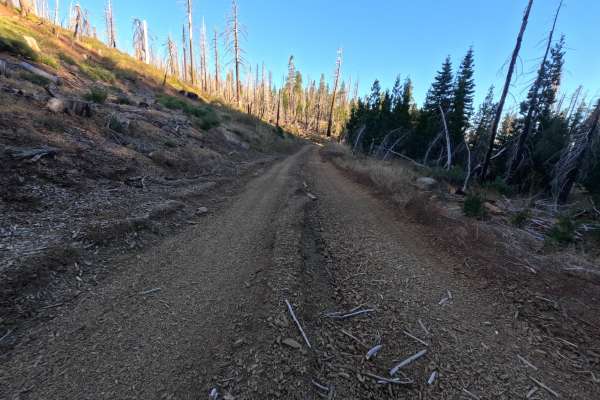
South Granite (FS 23N58Y) is a short gravel spur in the Plumas National Forest, following a creek drainage for roughly half a mile through a mix of tall, shaded timber and stands of fire-scarred snags. The opening stretch is a wide, firm gravel road with brushy shoulders and a soft layer of needles along the edges. Farther in, the road narrows to a grassier two-track and drops toward the creek bottom, where water flows across the road over a bed of rounded rocks, and thick willows and brush that turn bright yellow and gold in fall crowd both sides. Several narrow motorcycle trails branch off along the way, so watch for riders near the junctions. The surface becomes rougher toward the far end, with minor ruts and scattered rock. Near the end of the route, downed logs lie across the road; motorcycles can get past, but the route ends there for larger vehicles. Summer and fall offer the driest conditions and the lowest water.
Difficulty
Rated a 2 for a shallow creek crossing where water flows over loose, rounded rocks, along with minor ruts and scattered rock on the narrower section near the end. The crossing is best taken slowly to keep traction and avoid hidden stones, and water levels may be higher in spring. The opening stretch is wide, firm gravel with gentle grades, and there are no ledges or steep climbs, which keeps the rating from going higher. Moderate ground clearance is enough.

 Offroad