Trail Overview
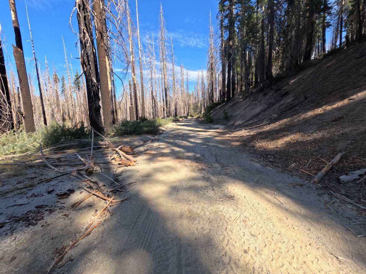
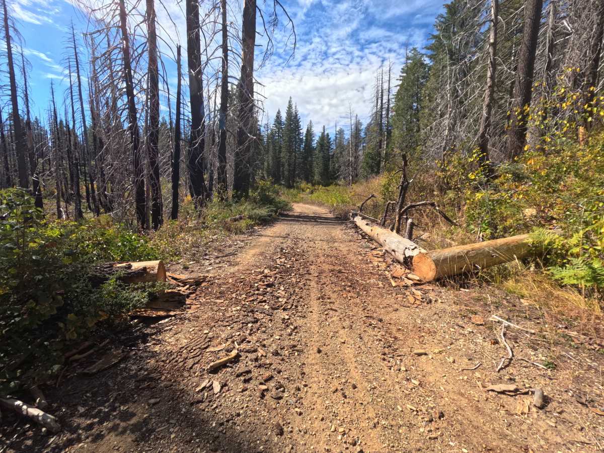
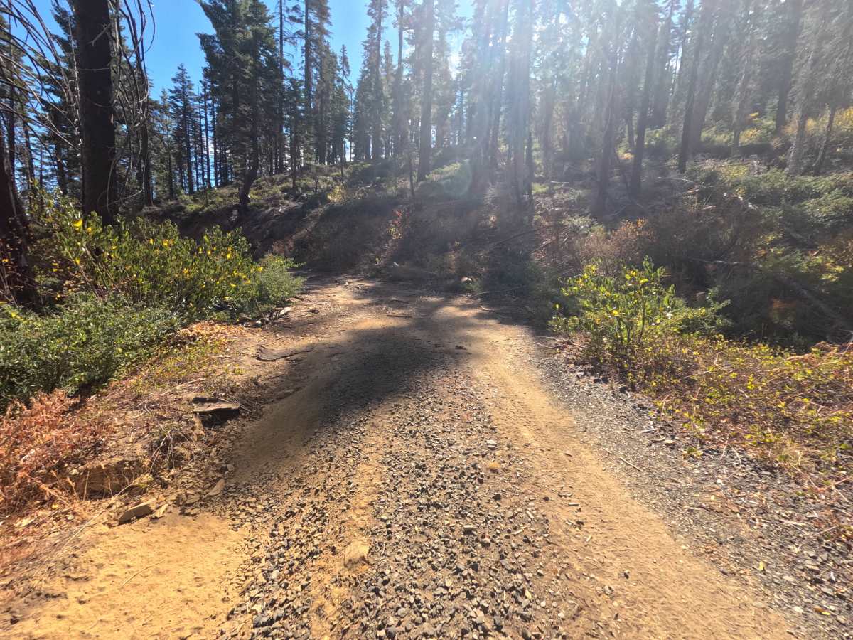
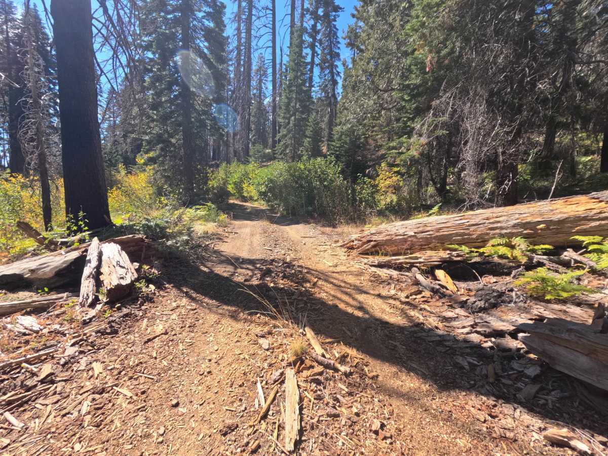
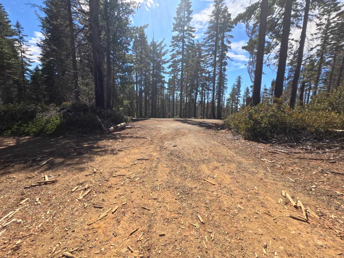
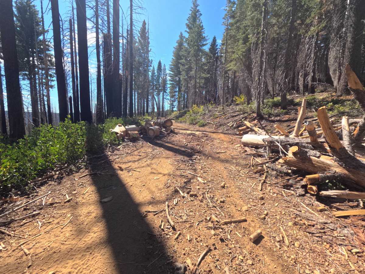
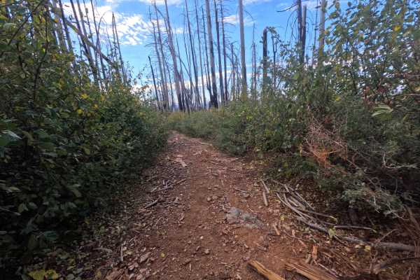
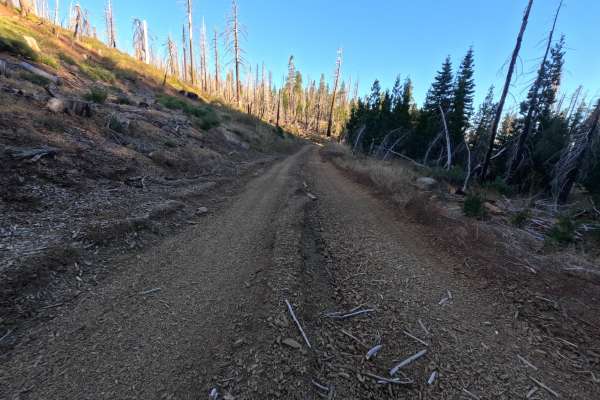
Granite Basin (FS 23N23) is a wide, easygoing gravel connector in the Plumas National Forest, linking Coldwater Road with a paved road near Bucks Lake Road as it winds through Granite Basin and climbs gently back toward the Coldwater corridor. The drive alternates between tall, shaded forest and open slopes recovering from wildfire, where blackened snags rise above fresh green brush, and pale granite boulders and slabs appear along the cut banks. The surface is a firm road of gravel and packed sandy dirt, generally flat and roomy enough for comfortable travel, narrowing slightly in places where fallen logs have been cut back to the shoulders and brush leans in. Dispersed camping is easy to find, including a flat site on a granite slab with room for one vehicle, and a huge, level clearing under tall trees that works well as a staging area or group camp with space for many vehicles. Summer and fall offer the best conditions.
Difficulty
Rated a 1 because this is a wide, generally flat gravel road with no meaningful obstacles. Cut log sections and slash lie along the shoulders in several spots and narrow the usable width slightly, and small stones, wood chips, and needles are scattered across the surface. There are no ruts, rock obstacles, ledges, steep pitches, or water crossings anywhere along the route. Standard ground clearance is all that is needed at a relaxed pace.

 Offroad