Trail Overview
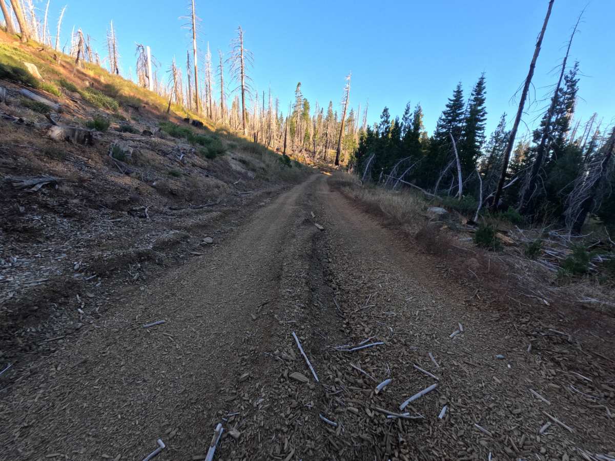
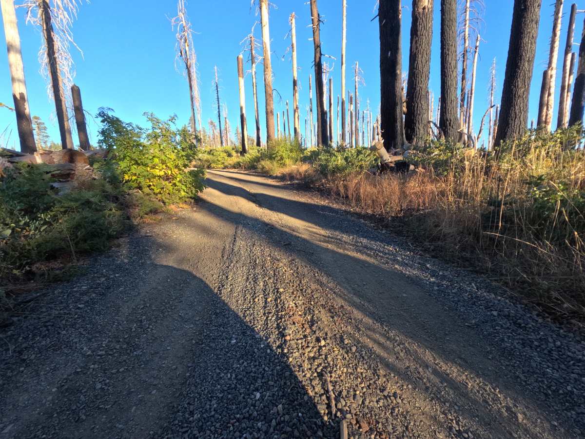
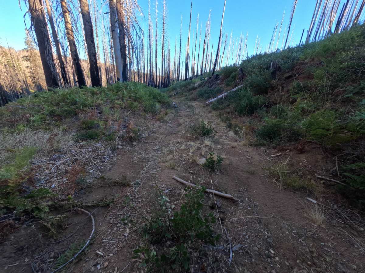
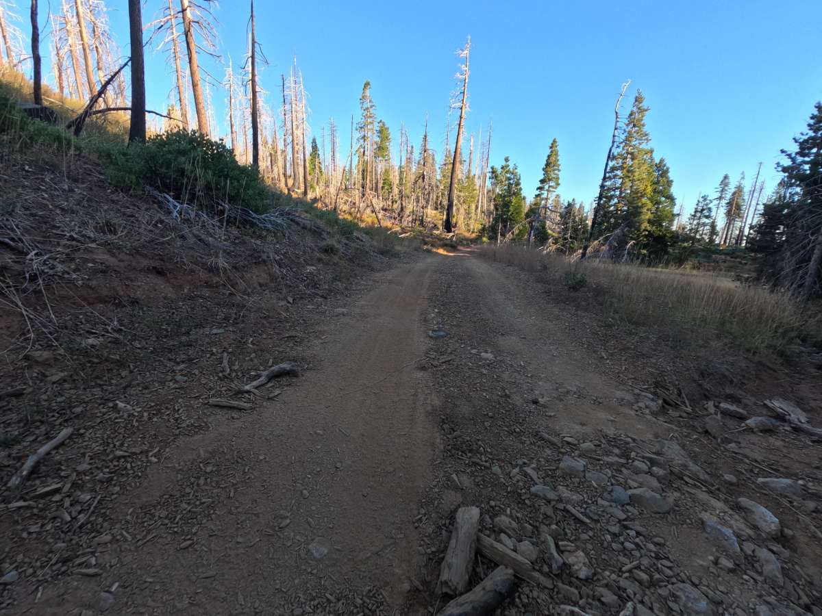
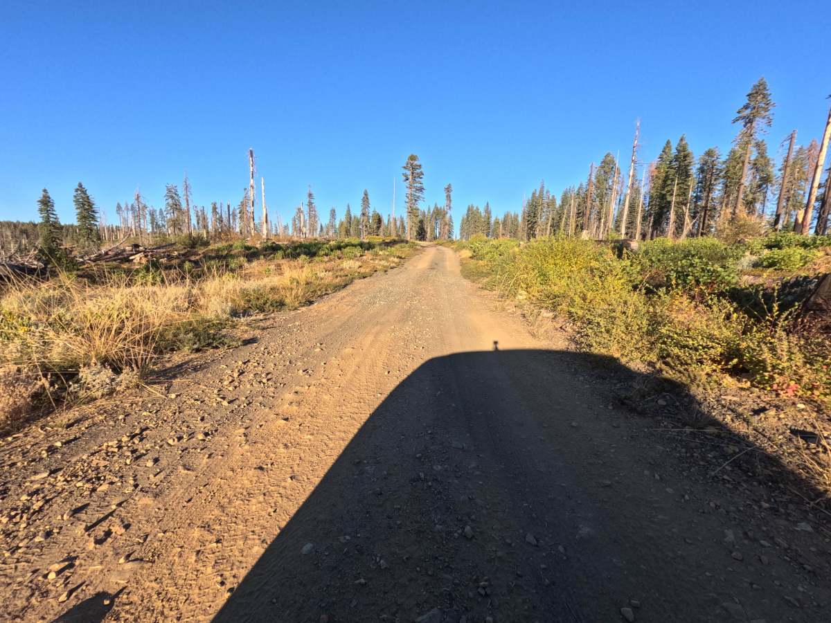
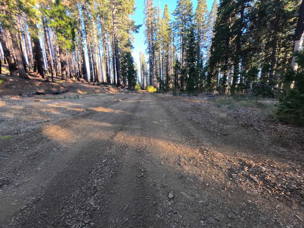
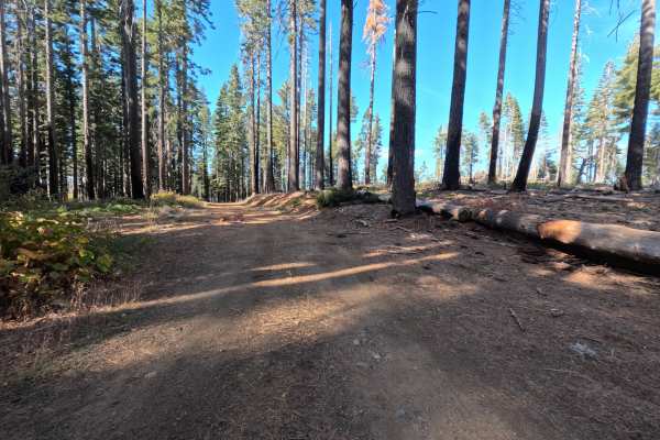
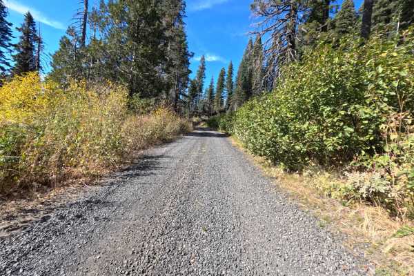
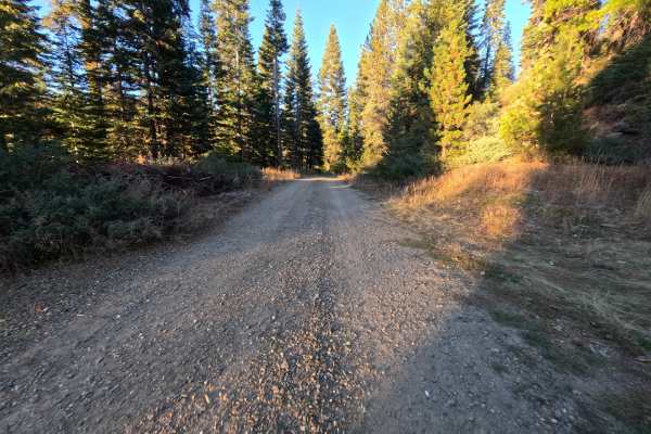
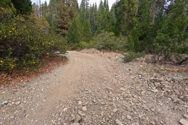
Jeep (FS 23N85Y) is a short gravel road in the Plumas National Forest, running roughly 1.1 miles out along a ridge, with a small brown post marked 23N85Y standing at the roadside. Much of the route crosses a vast burn scar, where tall silver and blackened snags rise above golden grass, low brush, and rows of young regrowth, while pockets of surviving green forest shade a few stretches. The surface is a wide, firm road of dark gravel and packed dirt for most of its length, with a short patch of loose, broken rock near the start. Dispersed camping is easy to find: two spots sit near the beginning, a short side spur leads to a large, open flat that works well as a camp or staging area for six to eight vehicles, and a solo site sits farther along. The road ends at a turnaround after a short descent, where the surface softens into a layer of wood mulch. Summer and fall offer the best conditions.
Difficulty
Rated a 2 for a short stretch of loose, broken rock near the start and a final descent where the surface turns to soft wood mulch with shallow ruts worn into it. A slow pace keeps traction steady on the softer ground, especially on the climb back out. The rest of the road is wide, firm gravel with gentle grades, and there are no ledges, rock obstacles, or water crossings, which keeps the rating from going higher. Moderate ground clearance is enough.

 Offroad