Trail Overview
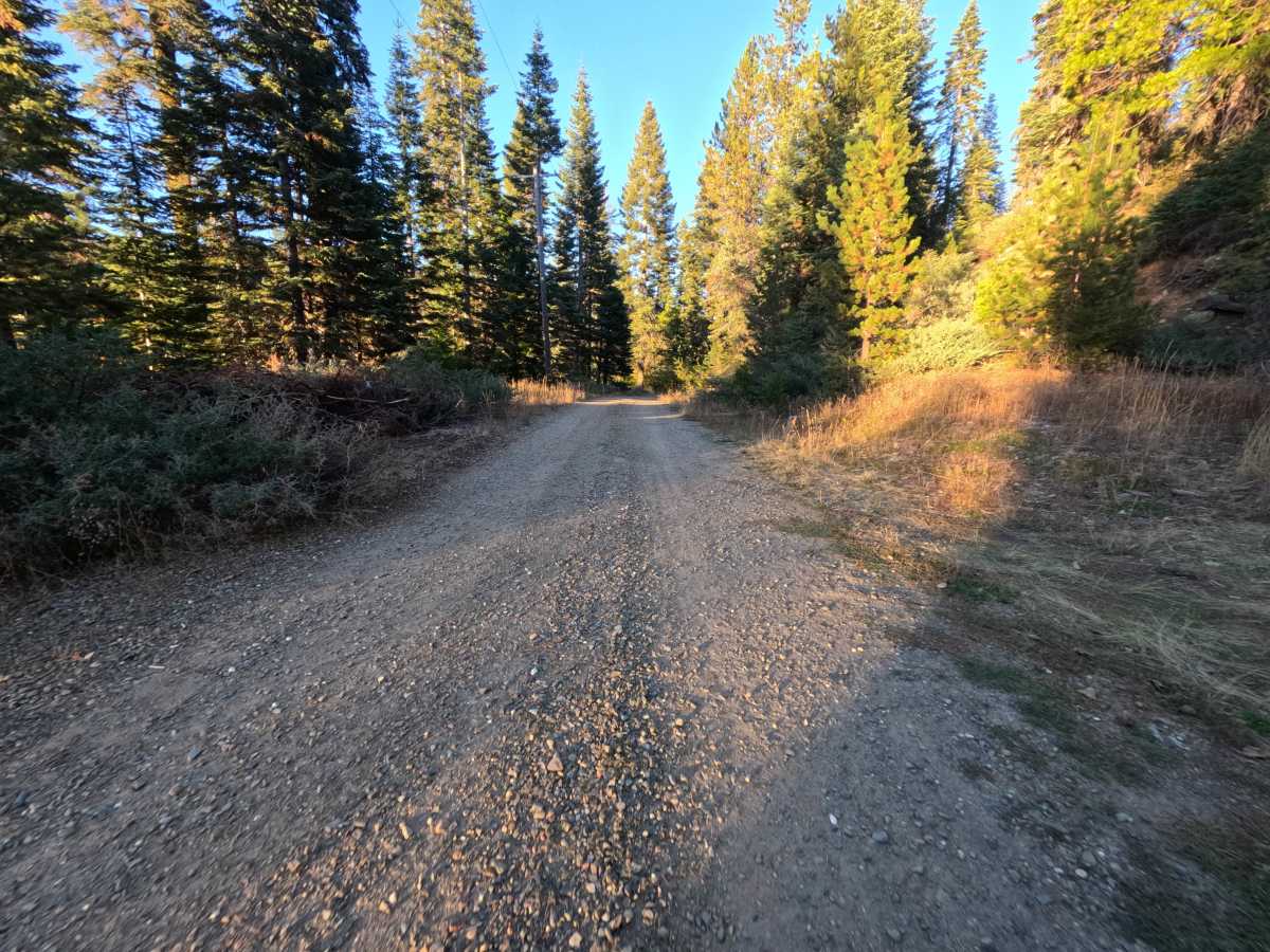
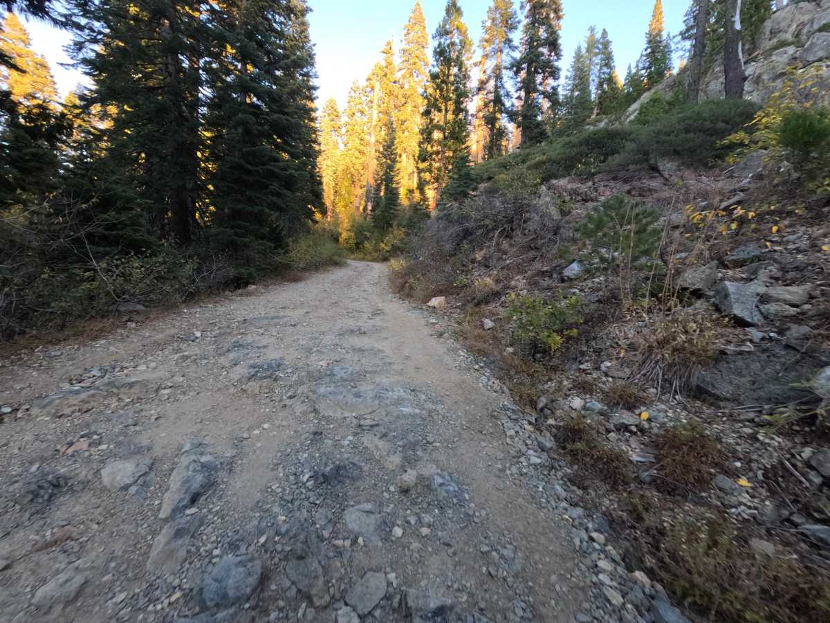
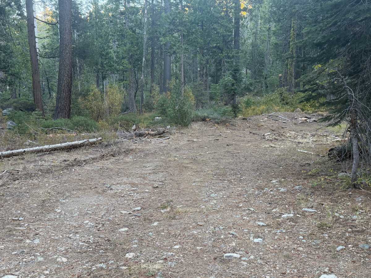
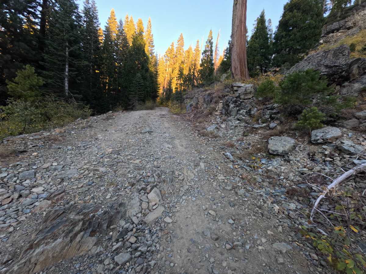
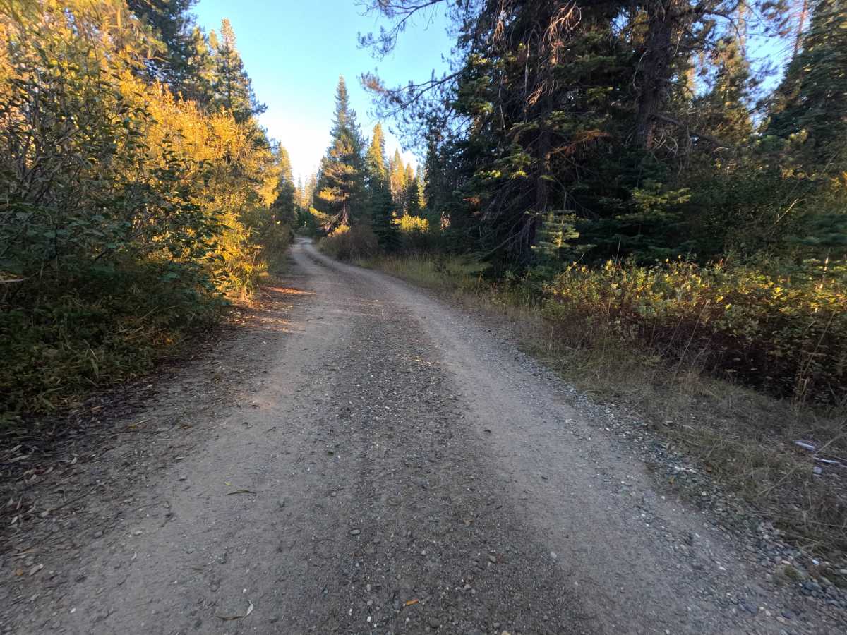
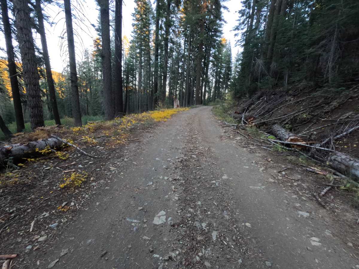
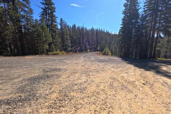
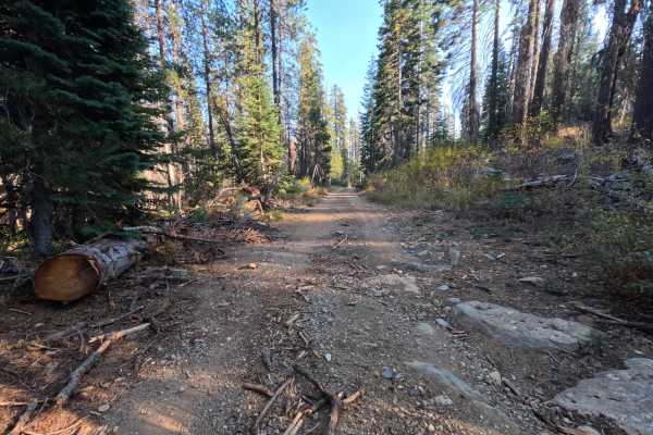
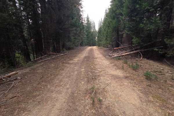
Grizzly Big Creek (FS 24N36) is a gravel connector in the Plumas National Forest, running along the hilltops parallel to Bucks Lake Road and linking that corridor with a paved road at its far end. The route winds through tall, shaded forest, with leafy brush along the shoulders that turns bright yellow and gold in fall, and in places it passes beneath dark, fractured rock outcrops rising from the uphill bank. Much of the road is a wide, smooth gravel surface, but the middle section turns noticeably rougher, with patches of embedded bedrock, loose angular stone, and a raised strip of broken rock between the wheel paths. A flat pullout along the way offers a dispersed campsite with room for one vehicle. There are no developed sites or overlooks along the route. The draw is a quiet, forested alternative to the main road with a short taste of rocky terrain. Summer and fall offer the best conditions.
Difficulty
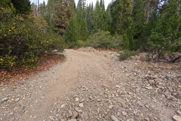
Rated a 2 for a rocky middle section where embedded bedrock, loose angular stones, and a raised strip of broken rock cover the tread. A slow pace and careful tire placement keep the ride smooth through this stretch. The rest of the road is wide, firm gravel with gentle grades, and there are no ledges, deep ruts, or water crossings, which keeps the rating from going higher. Moderate ground clearance is enough.