Trail Overview
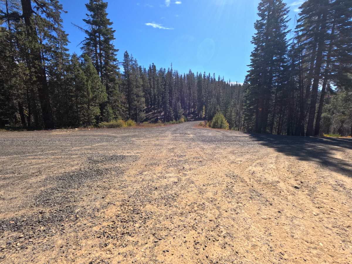
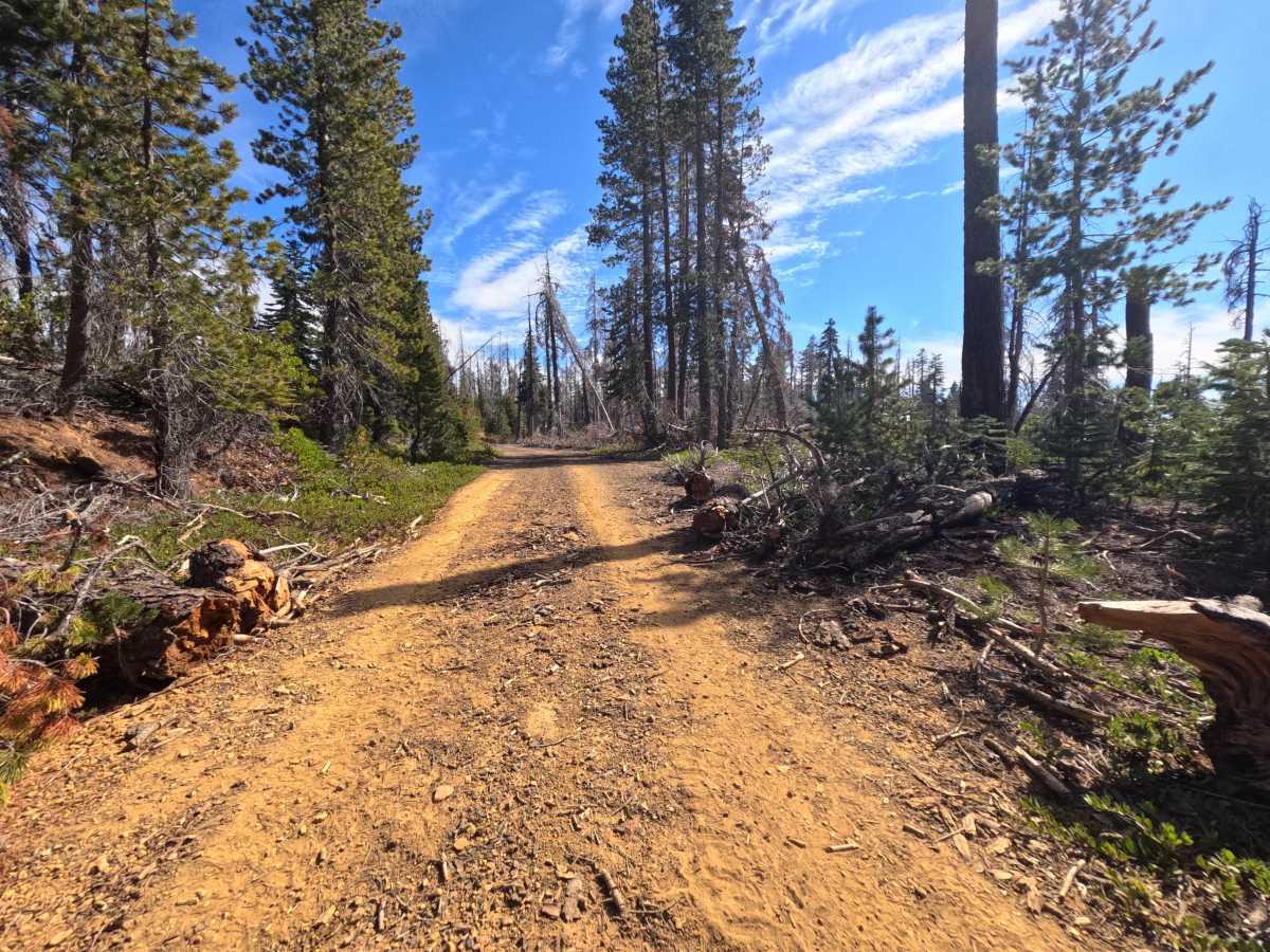
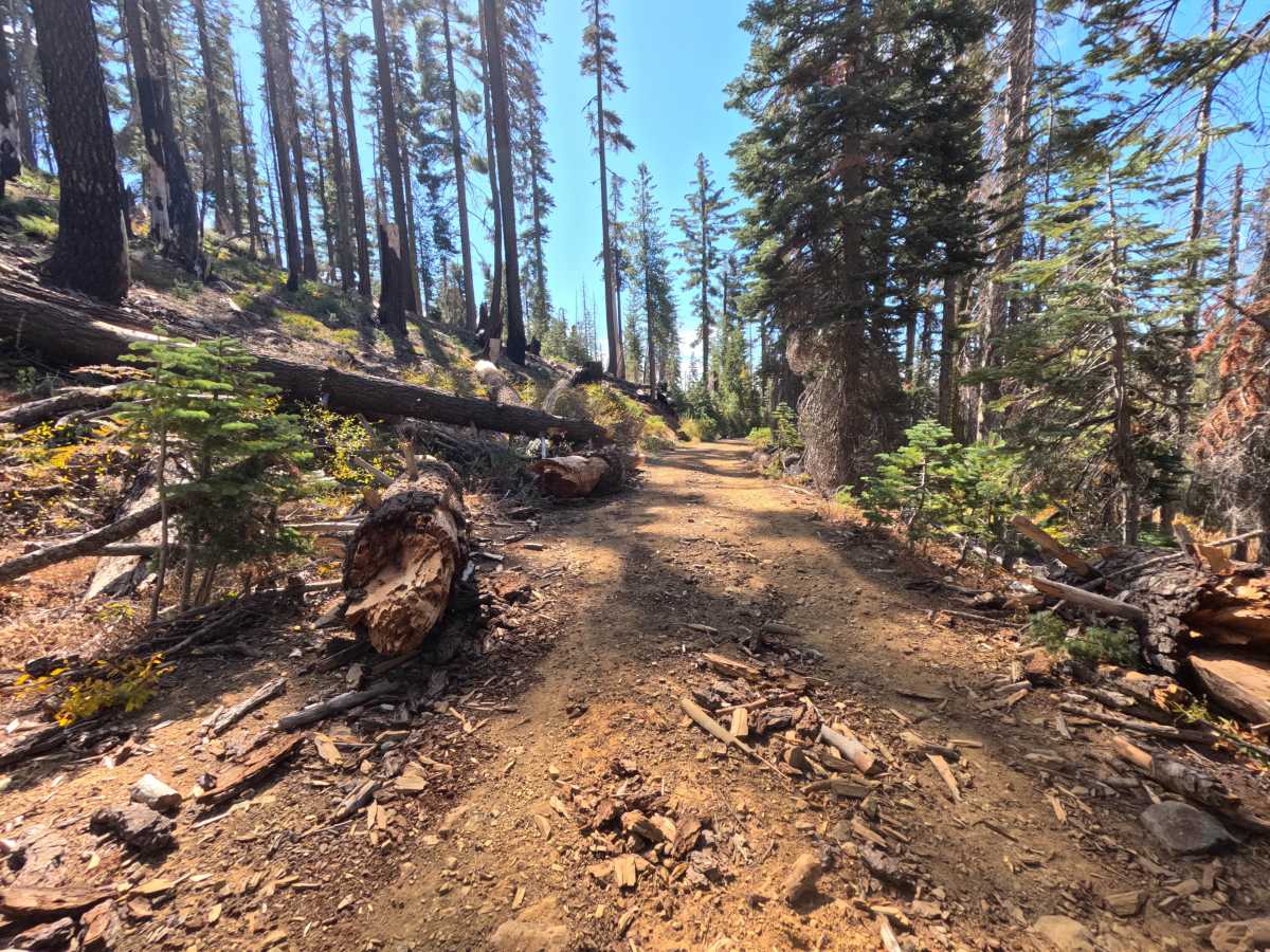
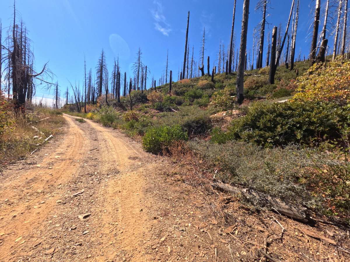
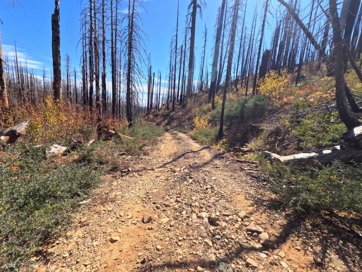
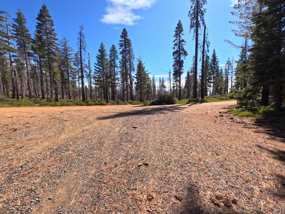
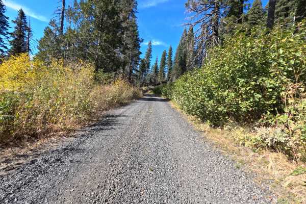
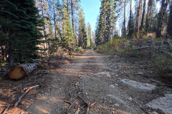
Grizzly Mtn (FS 23N70) is a mountain dirt connector in the Plumas National Forest, linking Coquette Creek with China Gulch Road along the high slopes beneath Grizzly Mountain. The route traverses an expansive landscape recovering from wildfire, where tall blackened snags stand above dense manzanita, low mountain shrubs, and vigorous young pine regrowth, alternating with stands of mature shaded timber. The track begins as a narrower corridor before widening into a broad, firm two-track composed of packed dirt, loose shale, and scattered surface gravel following gentle rolling grades along the contours. At a junction around the midpoint, a flat clearing tucked beneath the trees provides a dispersed campsite with space for a single vehicle. The draw is an open ridgeline traverse offering broad views across neighboring forested canyons and distant peaks. Summer and fall offer the best conditions.
Difficulty
Rated a 2 for stretches of loose shale, scattered small stones, and minor embedded cobble across a dirt and gravel surface. The road has gentle grades and wide sections that allow straightforward line selection, and there are no large boulder fields, steep shelf ledges, deep erosion gullies, or difficult drainage crossings, which keeps the rating from going higher. Moderate ground clearance is enough.

 Offroad