Trail Overview
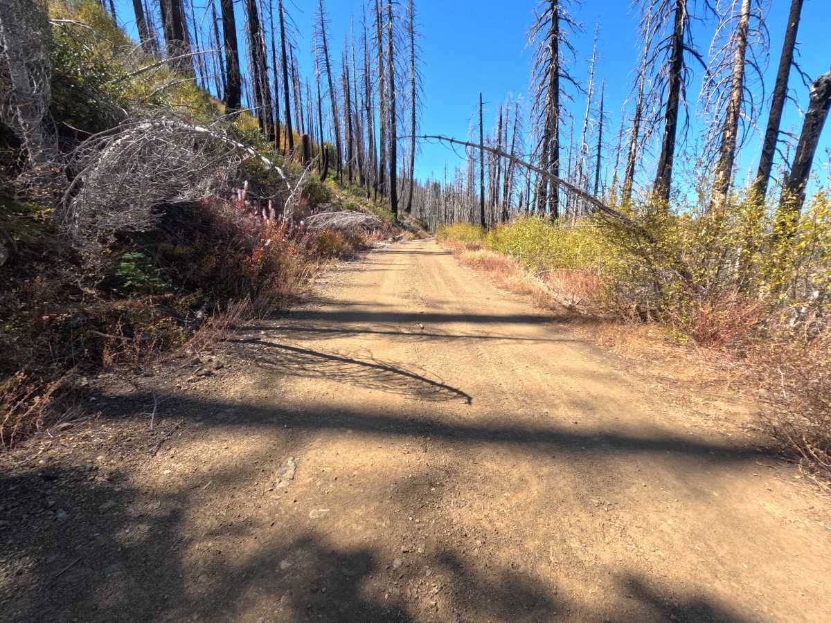
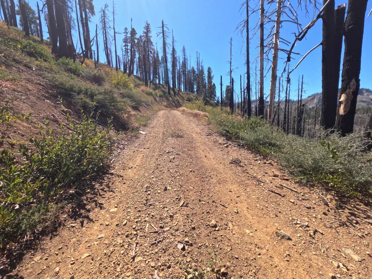
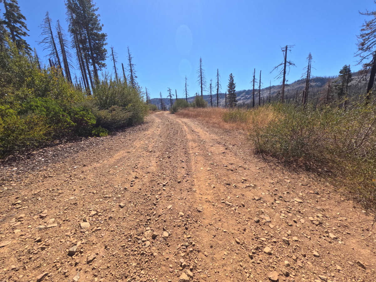
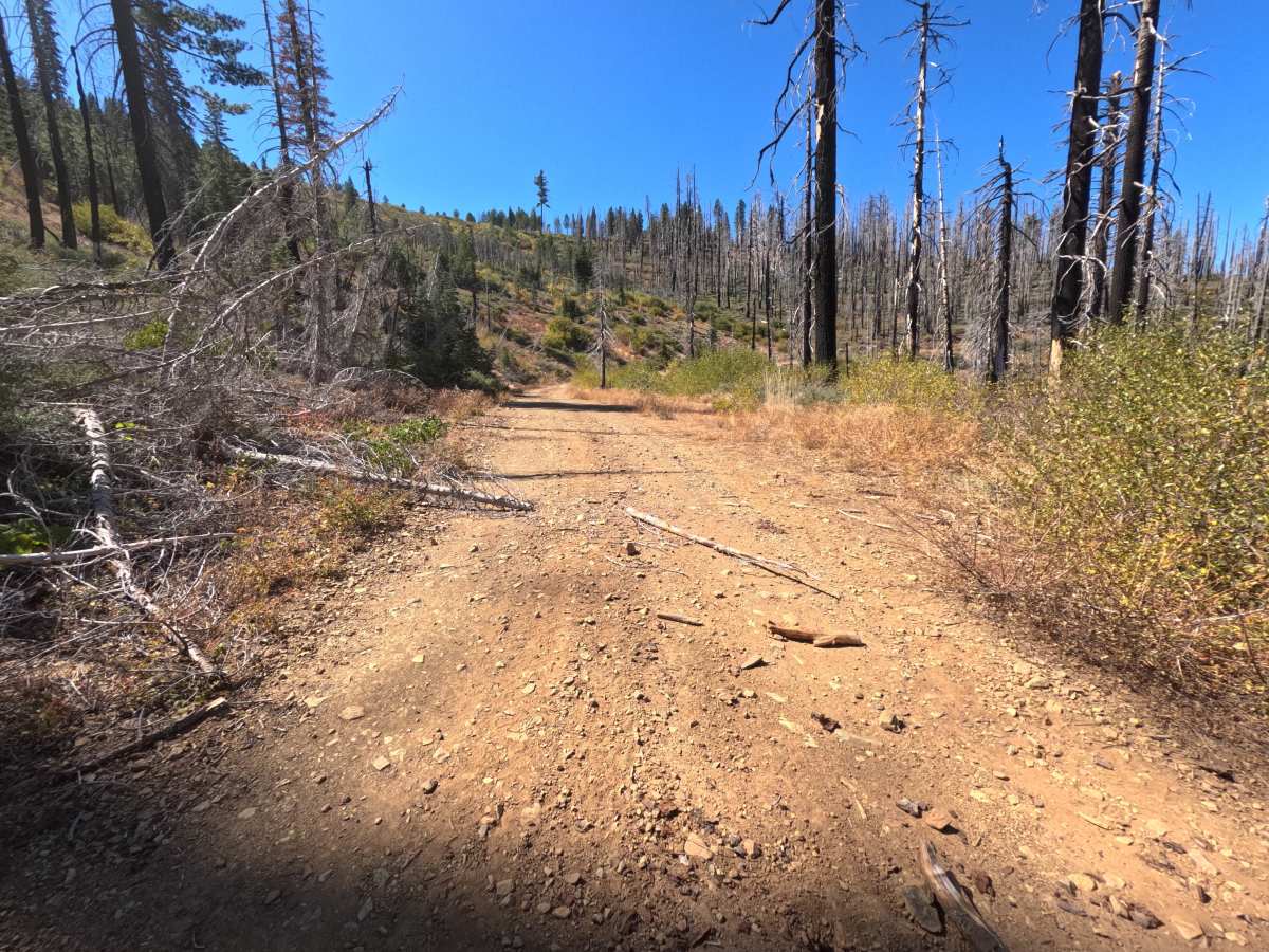
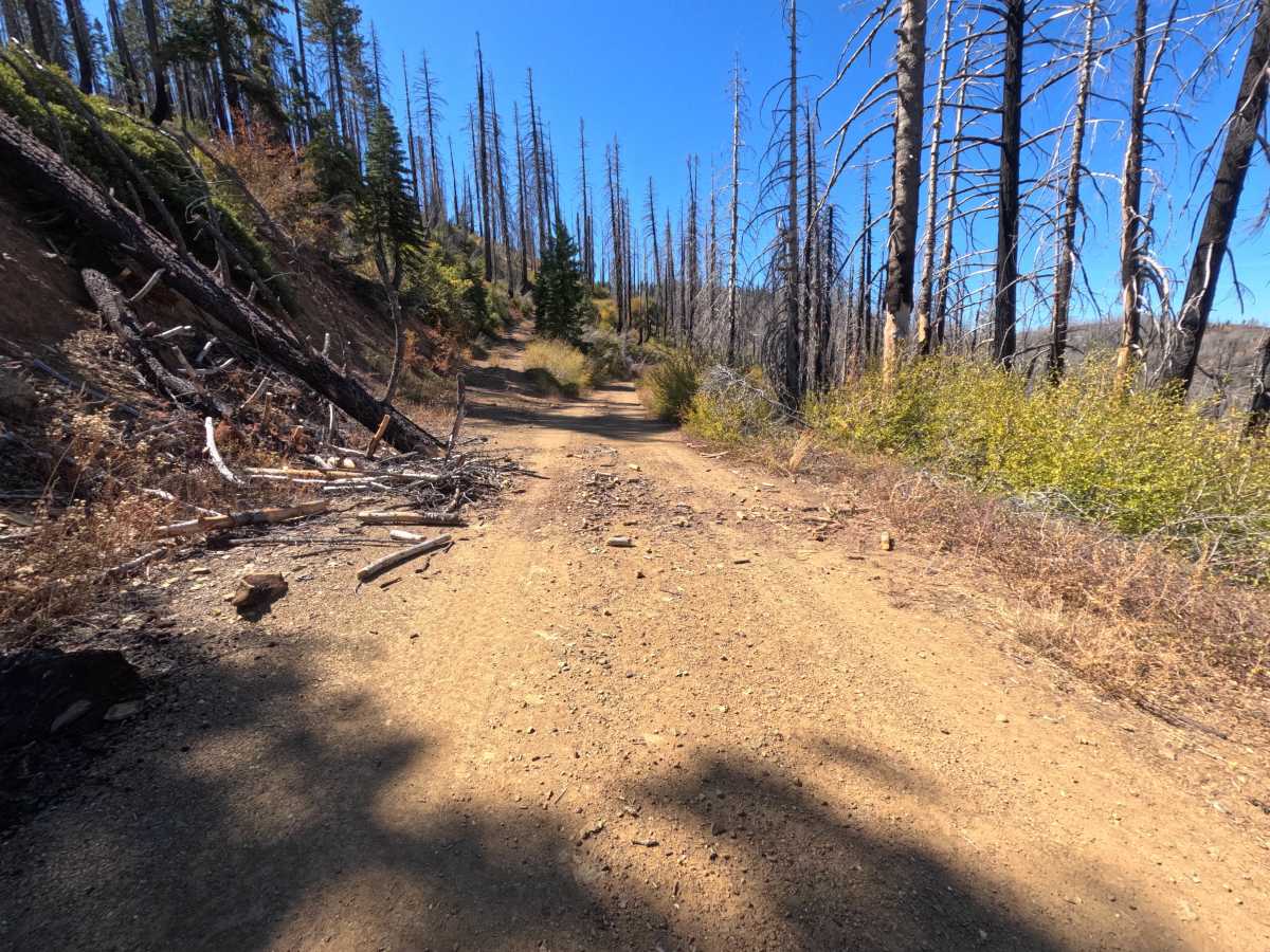
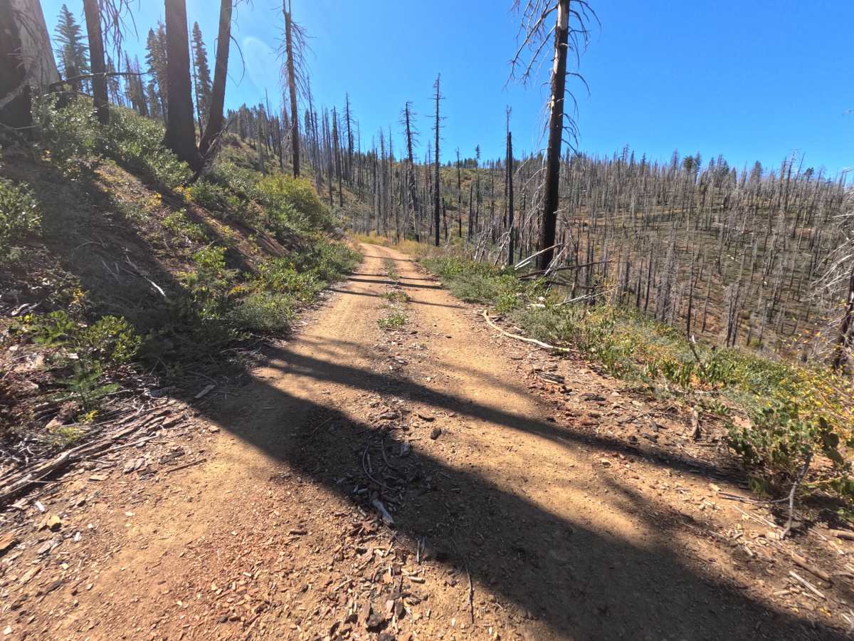
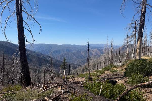
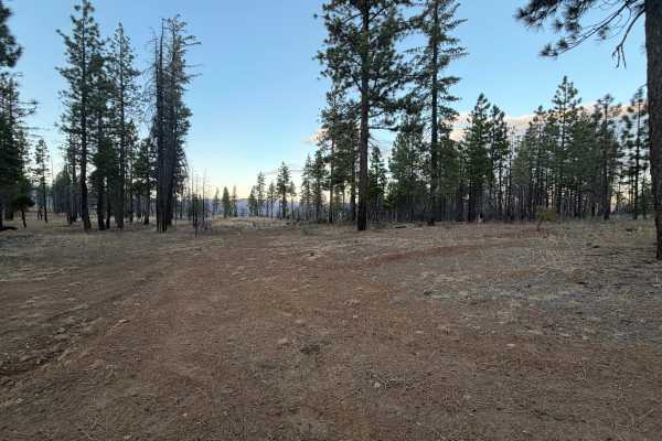
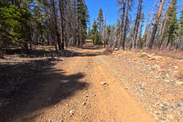
Meadow Valley Spur C (FS 24N30C) branches off the Meadow Valley road (FS 24N30) in the Plumas National Forest and follows a high ridge for roughly 1.7 miles as an out-and-back dirt spur, passing several side roads along the way. Much of the route crosses a sweeping burn scar, where tall silver and blackened snags stand above a thick regrowth of green and gold shrubs, leaving the views wide open in nearly every direction. Across the valley, bare granite peaks and long forested ridgelines fill the horizon for most of the drive. The surface is firm, packed red dirt with fine gravel and small loose stones, generally flat and wide enough for comfortable single-vehicle travel, with a few short stretches where brush and cut log sections narrow the edges. The spur ends at an open dispersed campsite on the ridge with sweeping mountain views and room for one vehicle. Summer and fall offer the best conditions.
Difficulty
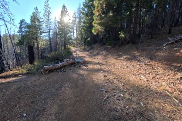
Rated a 1 because this is a firm, generally flat dirt road with no meaningful obstacles. Small loose stones, wood chips, and bits of bark are scattered across the surface, and in a few places, brush and cut log sections along the shoulders narrow the usable width. There are no ruts, rock obstacles, ledges, steep pitches, or water crossings anywhere along the route. Standard ground clearance is all that is needed at a relaxed pace.