Trail Overview
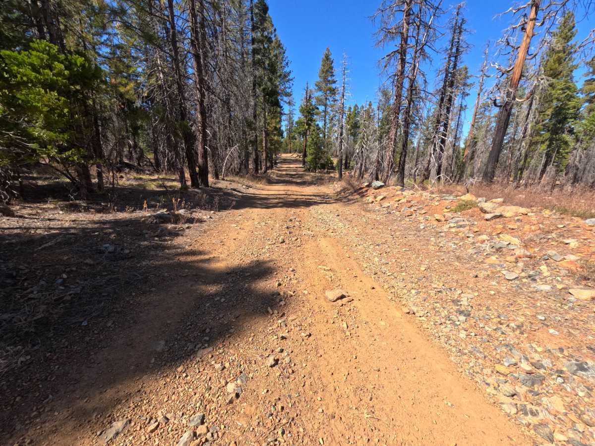
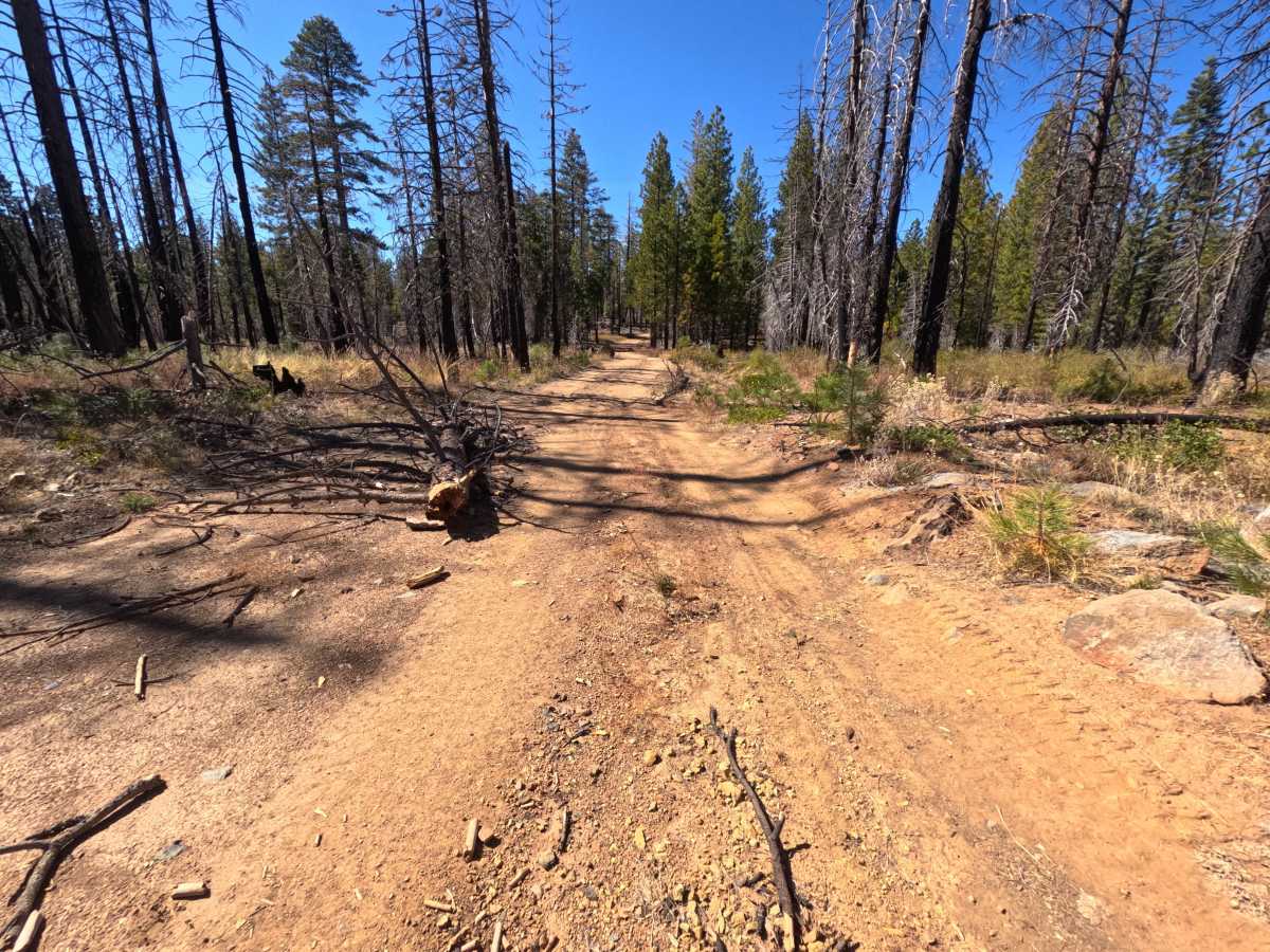
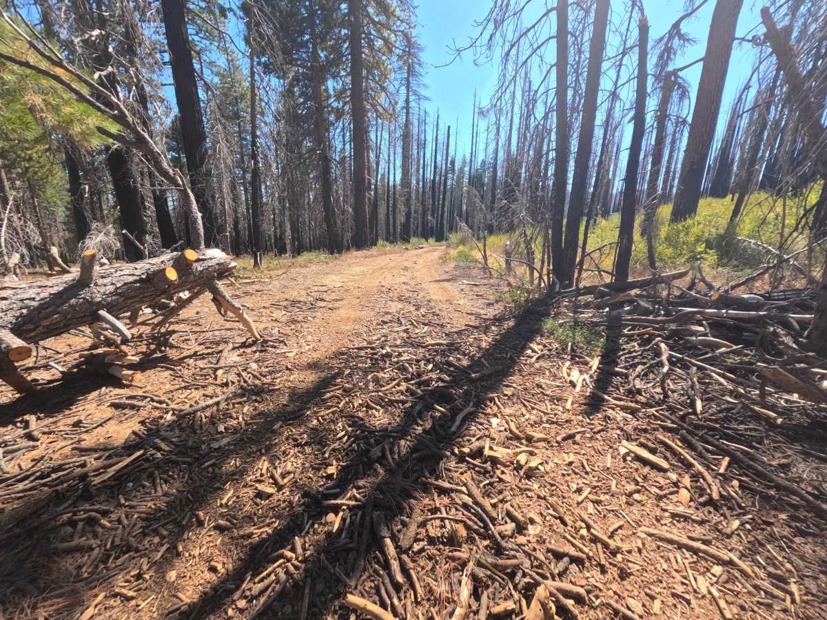
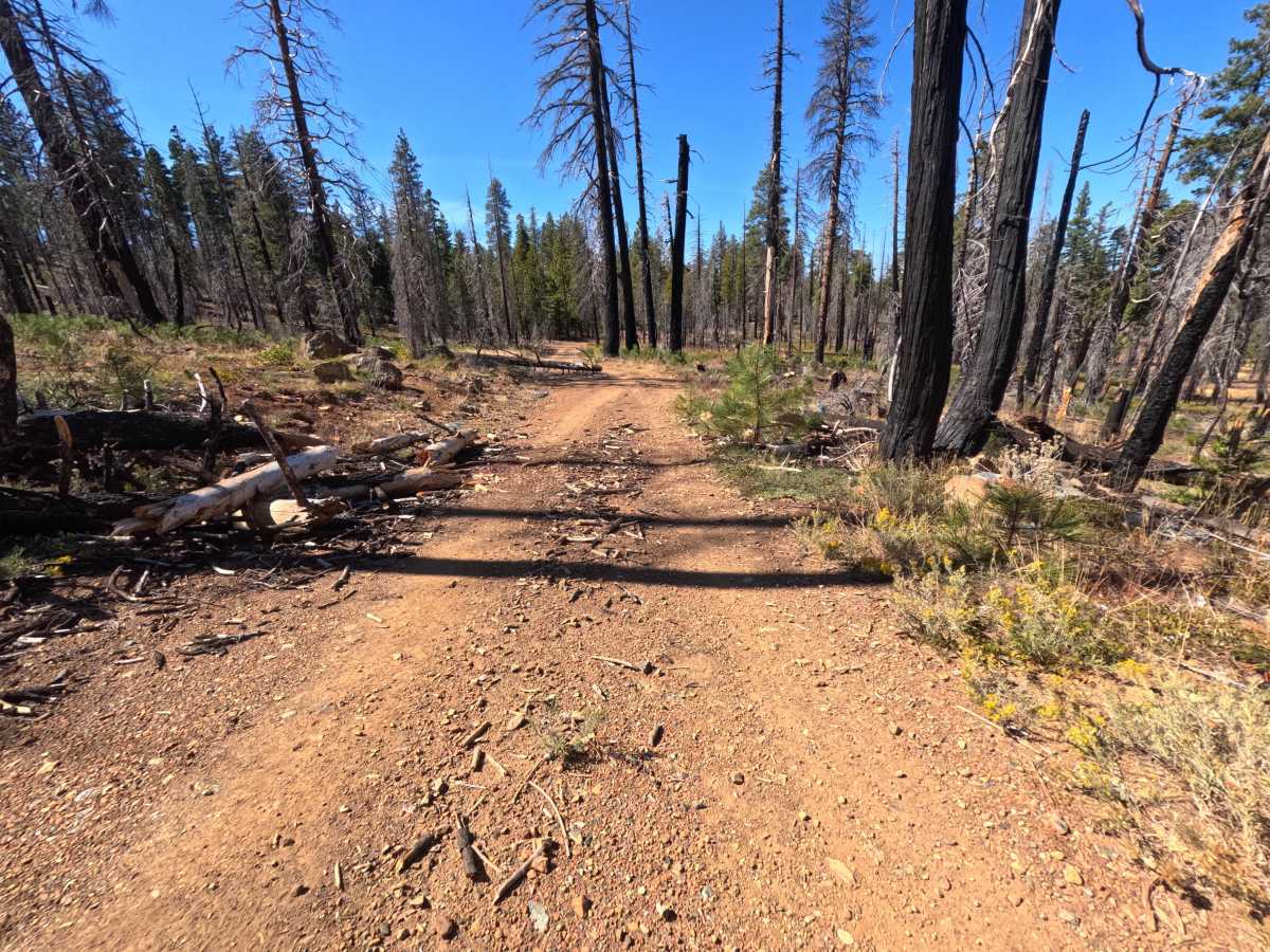
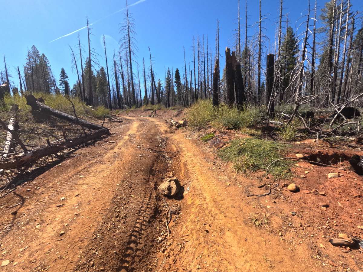
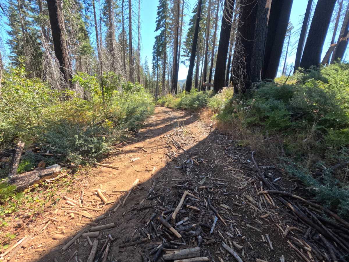
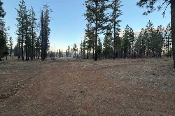
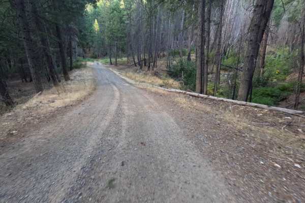
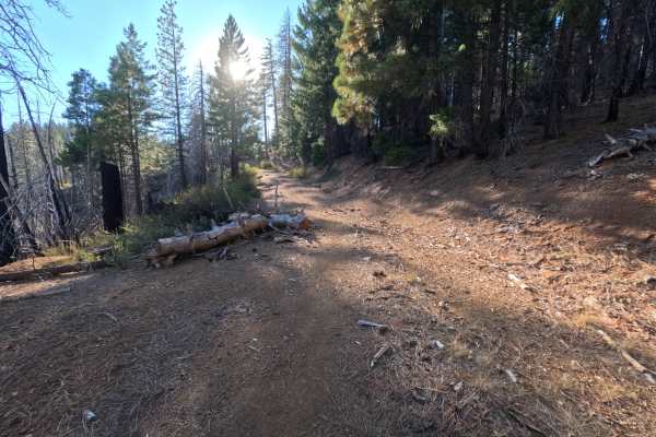
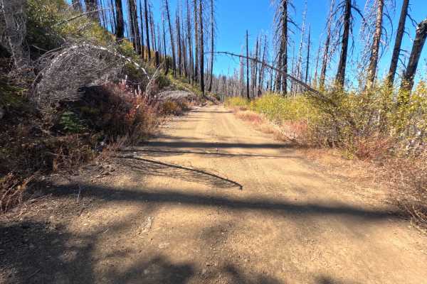
Rattlesnake Ridge (FS 25N59) begins at a saddle intersection in the Plumas National Forest and climbs gently for roughly 2.6 miles as an out-and-back dirt route heading toward the Silver Lake area. The first stretch is a wide road covered in loose, rocky gravel, winding through a mix of surviving green forest and fire-darkened trunks. After the first mile, the surface turns to smoother, packed red dirt, and the route pushes into a vast burn scar where thousands of silver and blackened snags tower over a thick regrowth of green and gold shrubs. Brush crowds the edges in the upper section, narrowing the road to a two-track with low growth in the center. Around the first mile, a flat, open clearing beside the road offers a dispersed campsite with room for one or two vehicles. The route ends deep in the burn with room to turn around. Summer and fall offer the best conditions.
Difficulty
Rated a 2 for a rough opening section where loose, rocky gravel and scattered larger stones cover the road, calling for a slower pace and careful line choice. Beyond that, the surface smooths out into firm, packed dirt, though brush narrows the corridor in the upper section and fallen bark and branches litter the tread through the burn. Grades stay gentle, with no ruts, ledges, or water crossings, which keeps the rating from going higher. Moderate ground clearance is enough.