Trail Overview
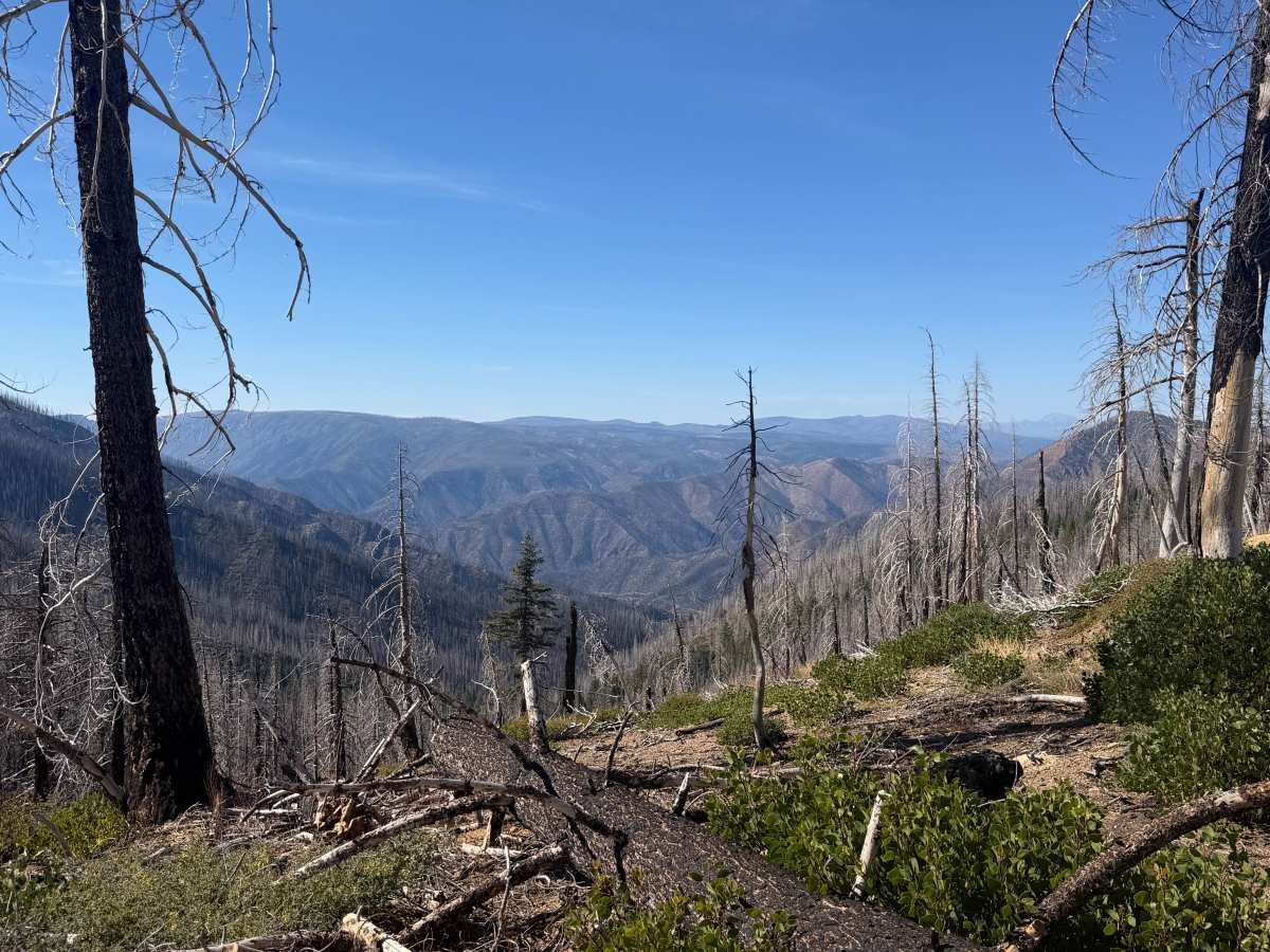
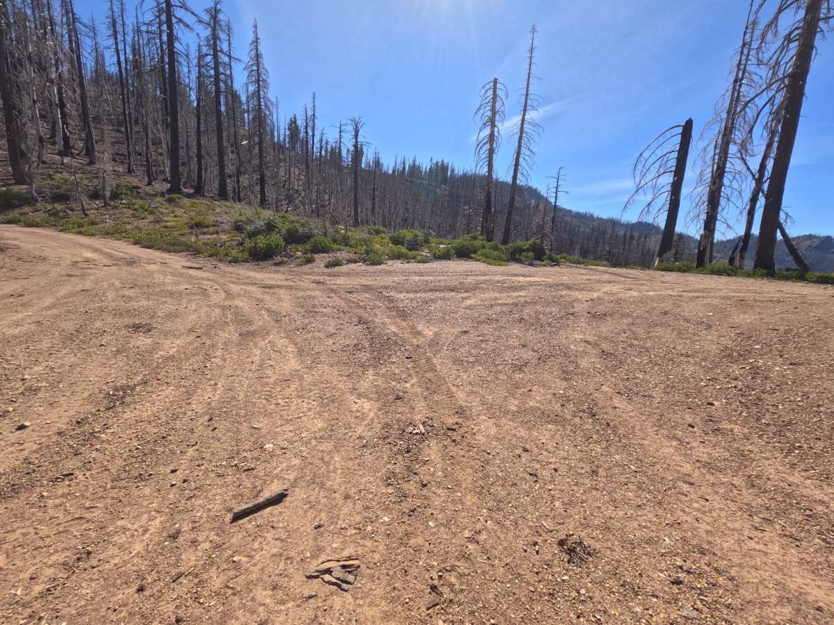
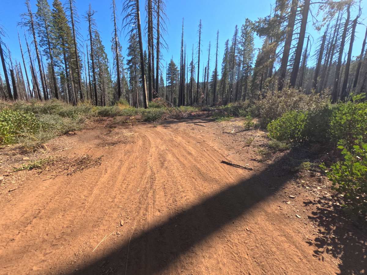
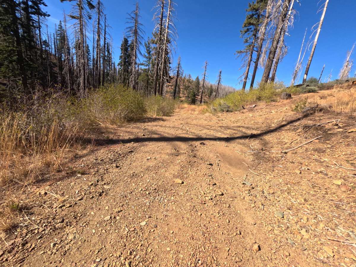
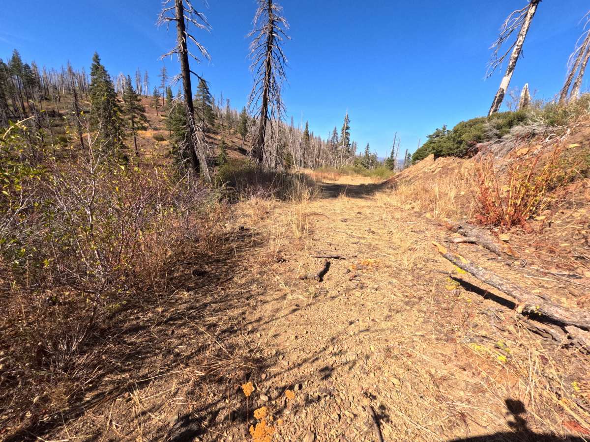
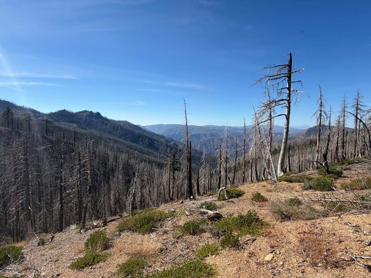
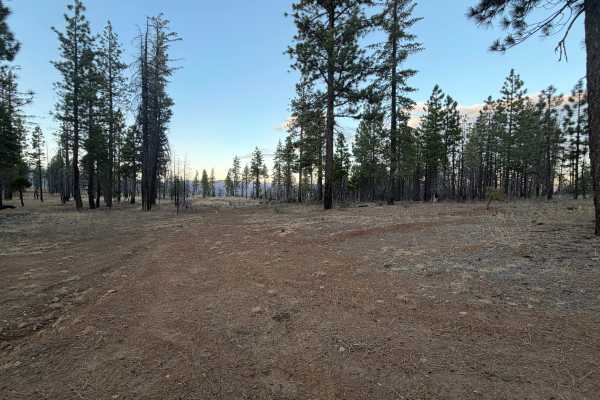
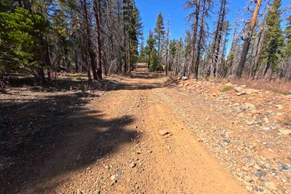
Mathis (FS 25N80) branches off Rattlesnake Ridge Road (FS 25N59) in the Plumas National Forest and winds around the slopes above Spanish Creek as an out-and-back dirt route. It starts briefly in a burn scar, then alternates between pockets of surviving green forest and open, fire-scarred hillsides where silver snags rise above fresh green shrubs. Long stretches are benched into the slope, with rocky cut banks on the uphill side and the ground dropping away into the canyon on the other. At a saddle partway along, a dispersed campsite with room for one or two vehicles opens to vast views northwest across deep canyons and layered ridgelines stretching to the horizon. The surface is a wide dirt and loose-gravel road, narrowing in places to a two-track with low brush down the center. The route ends at a junction with an unmarked spur, where vehicles can turn around. Summer and fall offer the best conditions.
Difficulty
Rated a 2 for long stretches of loose, rocky gravel and scattered larger stones, especially below the rocky cut banks where broken rock sheds onto the road. A slow, steady pace keeps traction and line choice comfortable on the climbs. Brush narrows the road to a two-track in a few spots, but the tread stays firm with moderate grades, and there are no deep ruts, ledges, or water crossings, which keeps the rating from going higher. Moderate ground clearance is enough.