Poulsen - FS 23N74Y

Total Miles2.3
Technical Rating
1Easy
Best TimeSummer, Fall
Trail TypeFull-Width Road
Accessible By
Open Trail Map

Trail Overview

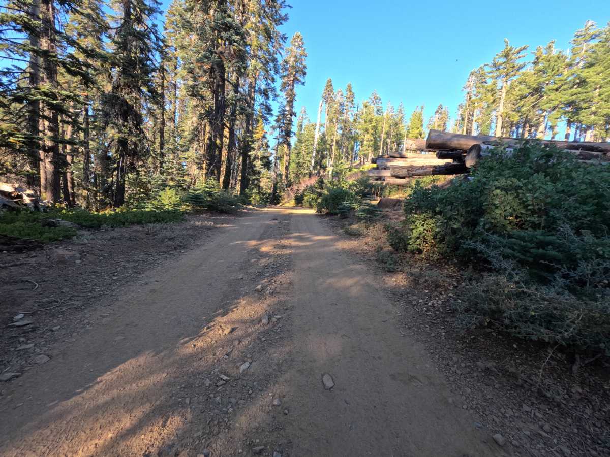
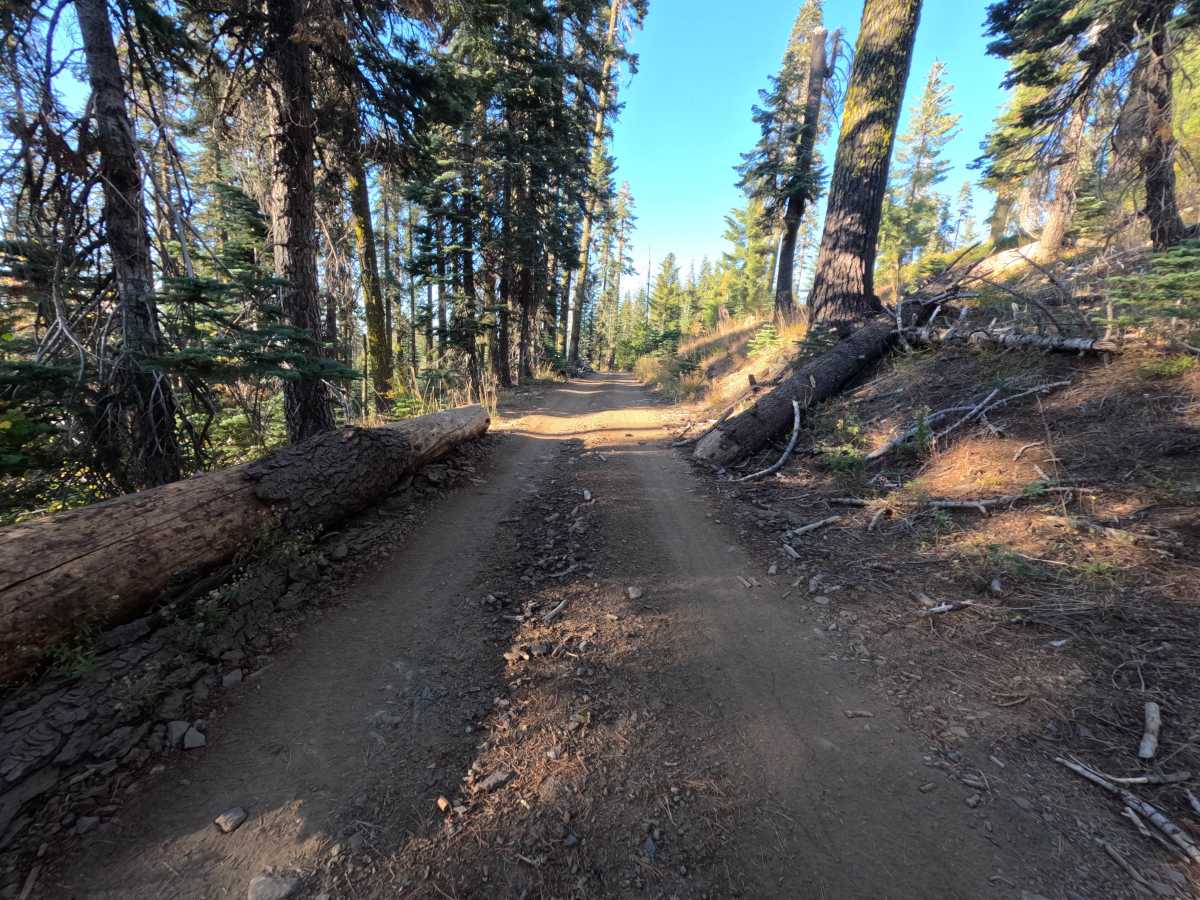
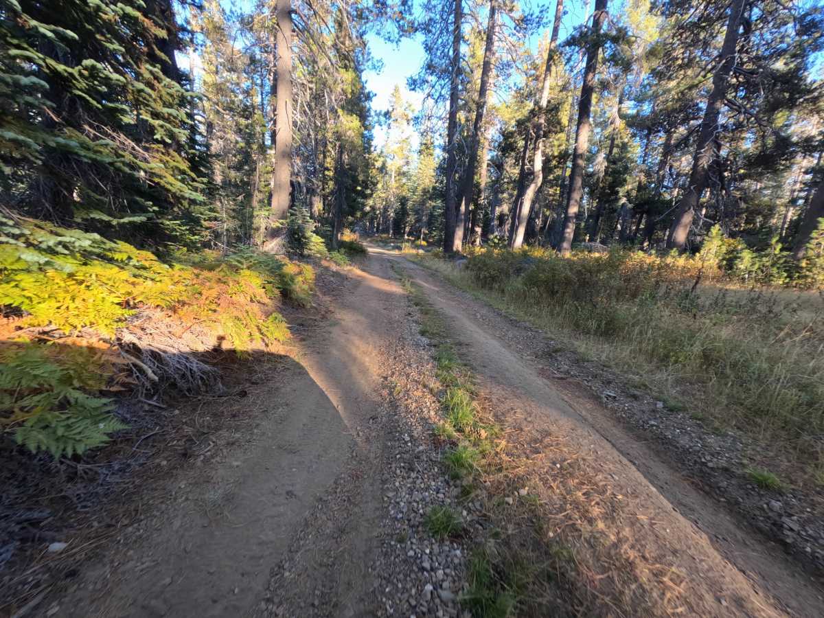
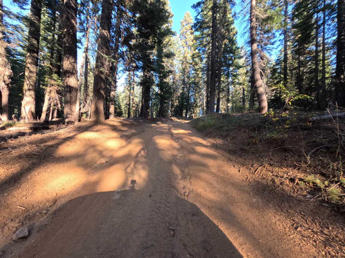
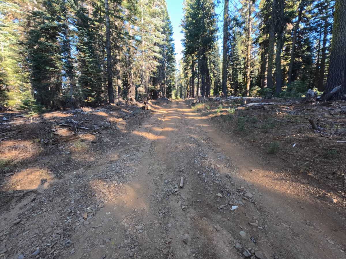
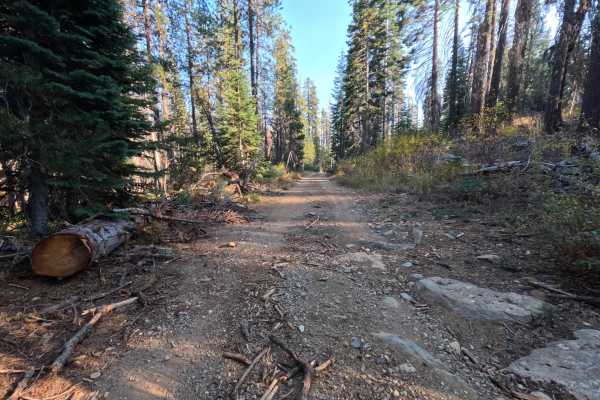
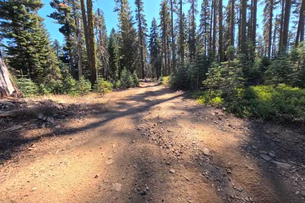
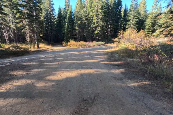
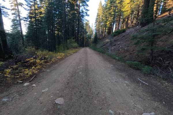
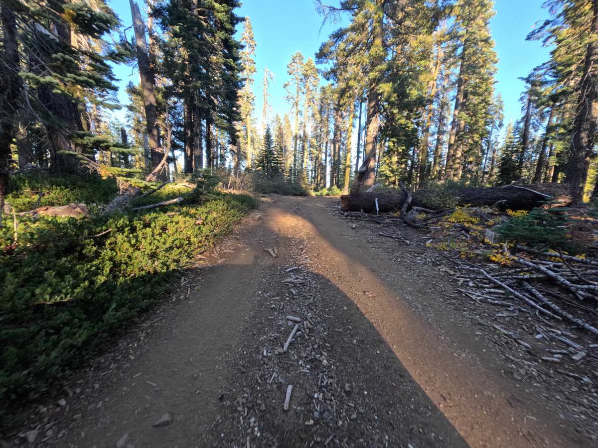
Poulsen (FS 23N74Y) is a gentle dirt and gravel connector in the Plumas National Forest, linking Gravel Source Road (FS 23N19) with neighboring ridge spurs. The route winds through tall, shaded timber and open stands of mature pine, with low manzanita and mountain brush lining the shoulders. Much of the track consists of wide, smooth-packed dirt and fine gravel in excellent condition, offering gentle rolling grades and broad curves along the crest. A small dispersed camping spot tucked behind the trees near the midpoint provides space for a single vehicle, while wide junction flats at either end make turning around straightforward. The draw is an easy, scenic transit across quiet high-elevation forest. Summer and fall offer the best conditions.

Photos of Poulsen - FS 23N74Y

Difficulty

Rated a 1 for a wide, smooth-packed dirt and fine gravel surface with gentle grades throughout. The roadway is largely clear of obstacles, featuring only light surface dust, scattered small pebbles, and occasional shallow pine needles, with no embedded boulders, deep ruts, shelf ledges, or water crossings to navigate. Any standard vehicle can comfortably travel the route in dry conditions.

Technical Rating

1

Poulsen - FS 23N74Y Trail can be accessed by the following ride types:

  • Single Track
  • 50 Inch
  • 60 Inch
  • High Clearance
  • Full Width

Poulsen - FS 23N74Y Map

The onX Offroad Difference

onX Offroad combines trail photos, descriptions, difficulty ratings, width restrictions, seasonality, and more in a user-friendly interface. Available on all devices, with offline access and full compatibility with CarPlay and Android Auto. Discover what you're missing today!

Open Trail Map