Trail Overview
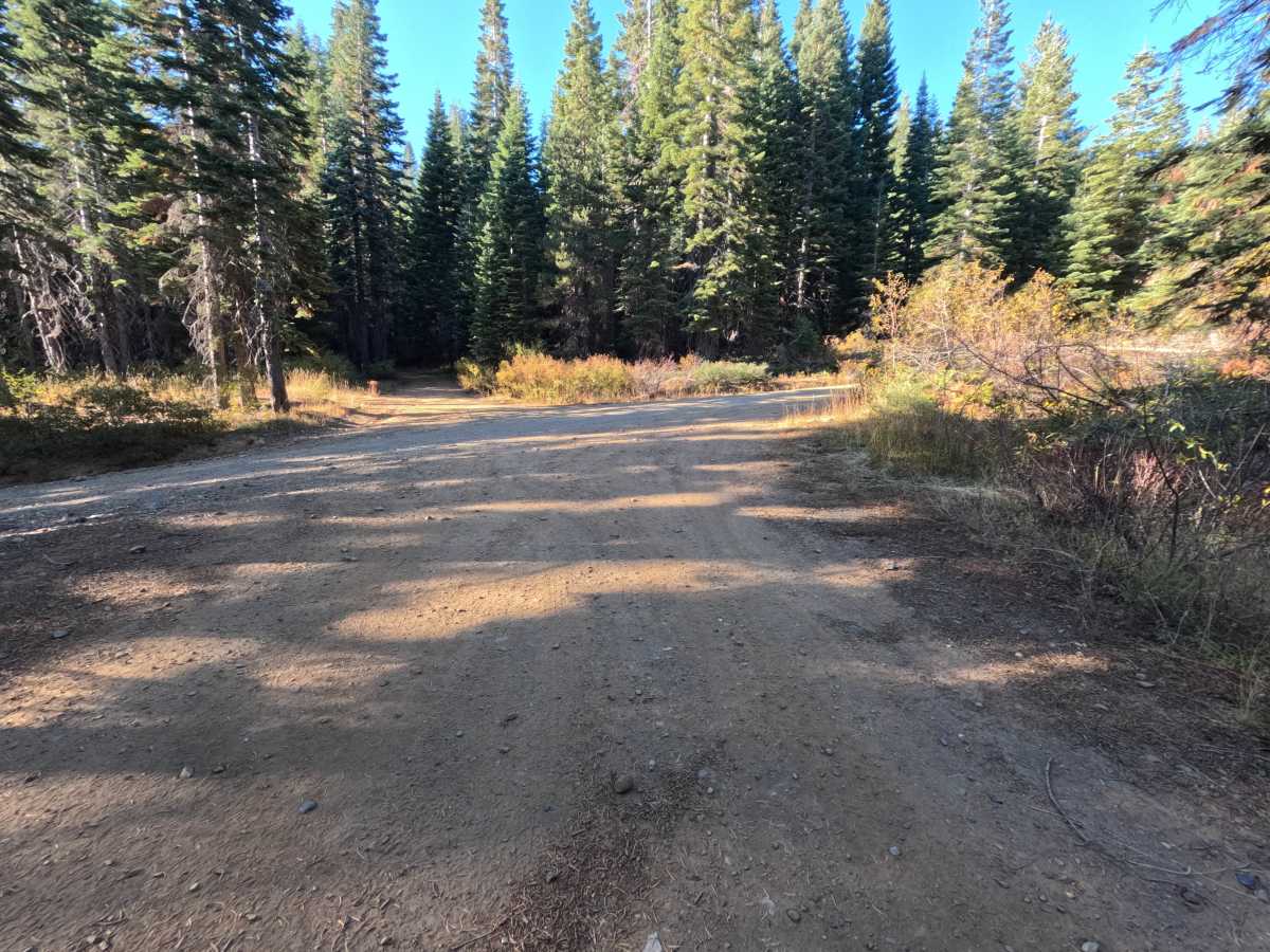
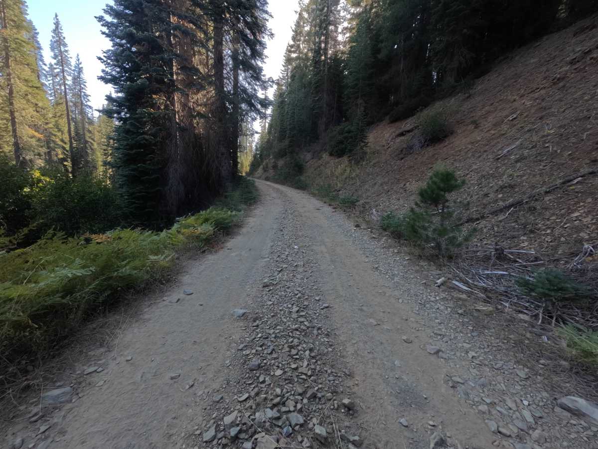
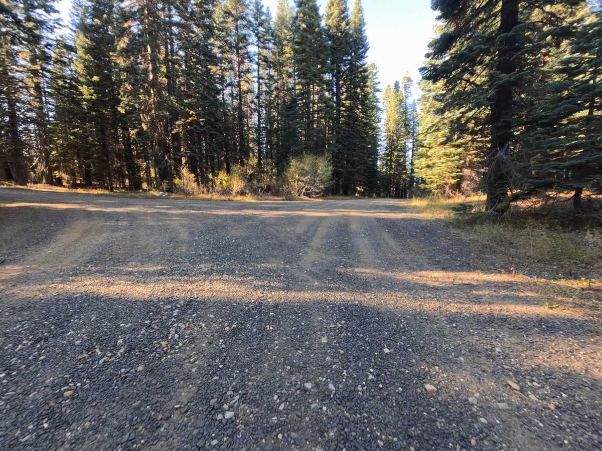
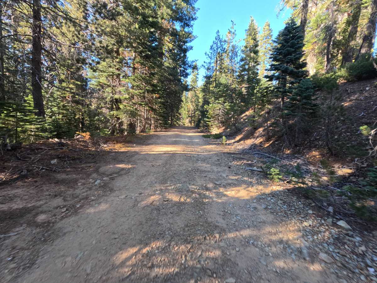
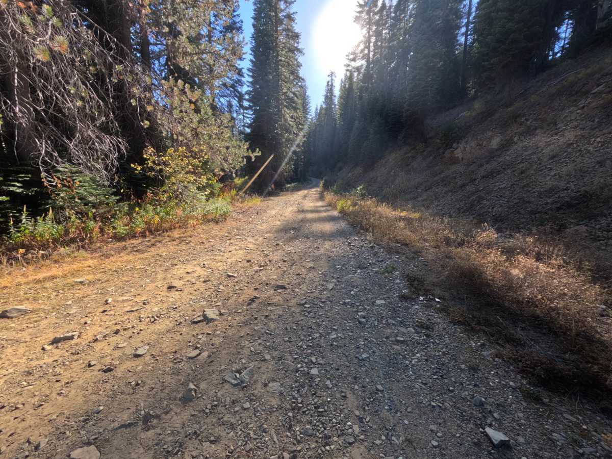
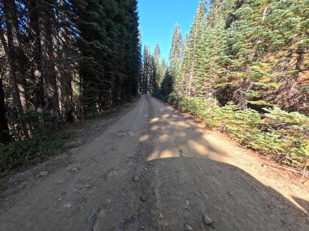
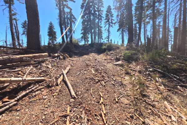
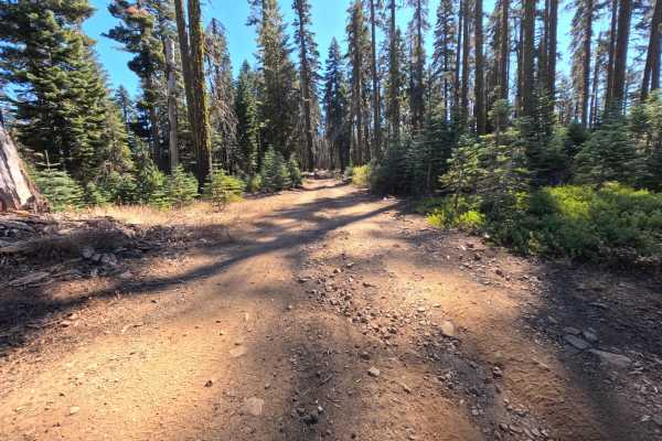
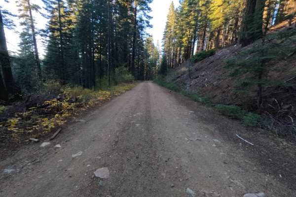
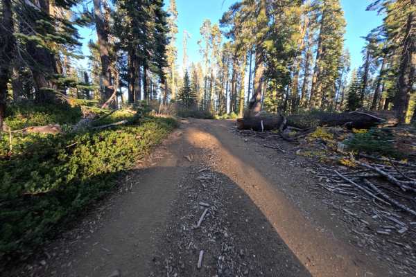
Upper Willow (FS 23N54) is a gravel connector in the Plumas National Forest, winding along the high forested shoulders between backcountry road junctions. The route travels through tall, shaded timber with low brush and golden grass lining the shoulders, occasionally breaking into sunlit stretches along the hillside cuts. Much of the track consists of wide, firm-packed dirt and gravel in good condition, alternating with rougher segments where loose angular stone, fractured shale, and small embedded rocks cover the tread. Just beyond the lower junction, a wide cleared flat offers room for one or two vehicles to stage or camp, with occasional pullouts providing ample space to pass. The draw is an easy, shaded alternative connector between higher elevation spurs with gentle grades throughout. Summer and fall offer the best conditions.
Difficulty
Rated a 2 for stretches of loose angular rock, fractured shale, and shallow embedded stones scattered across the dirt and gravel surface. The road has gentle grades, smooth bypass lines, and wide passing areas, with no steep ledges, deep erosion ruts, mud bogs, or impassable drainage ditches, which keeps the rating from going higher. Moderate ground clearance is enough.