Trail Overview
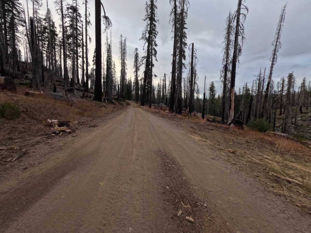
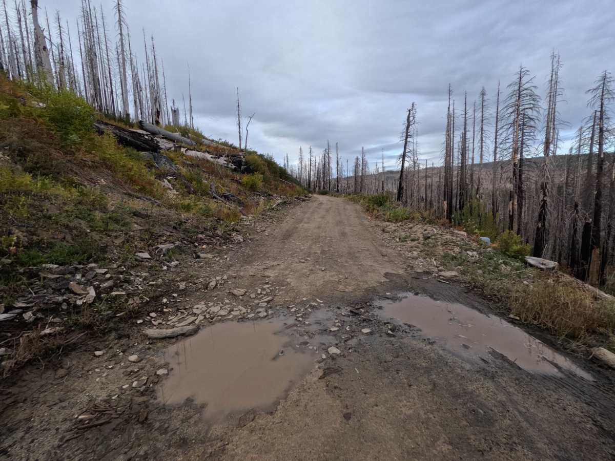
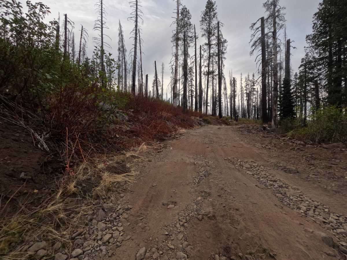
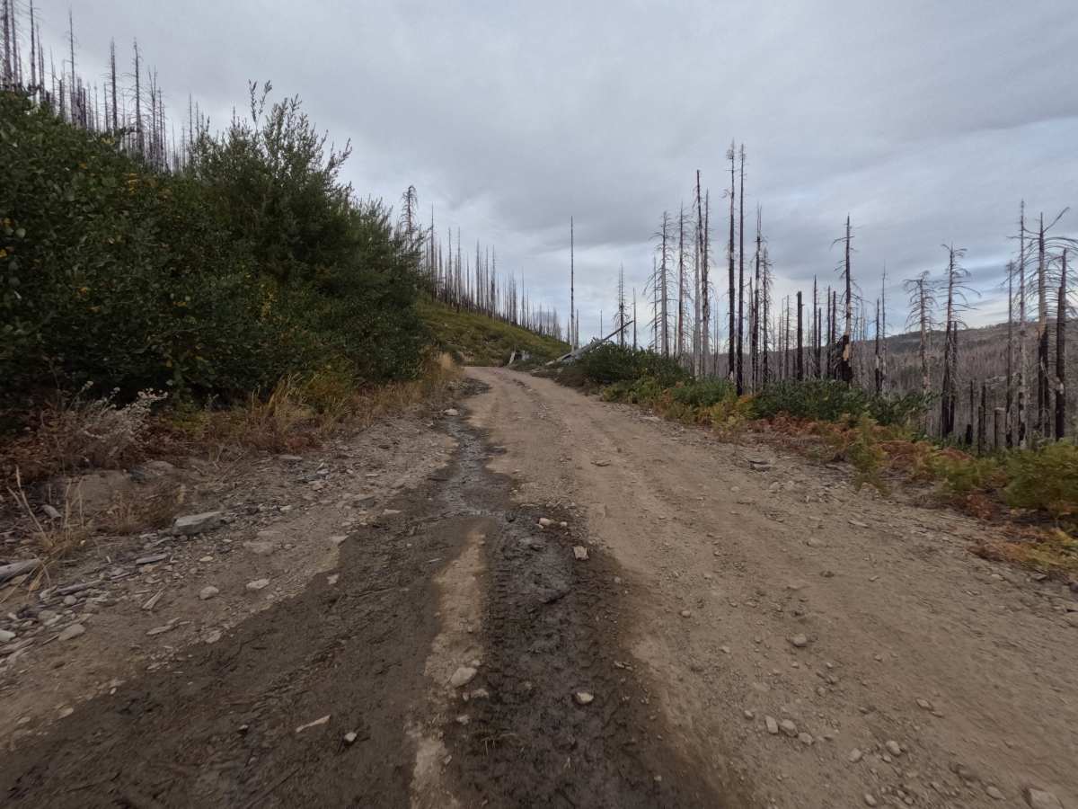
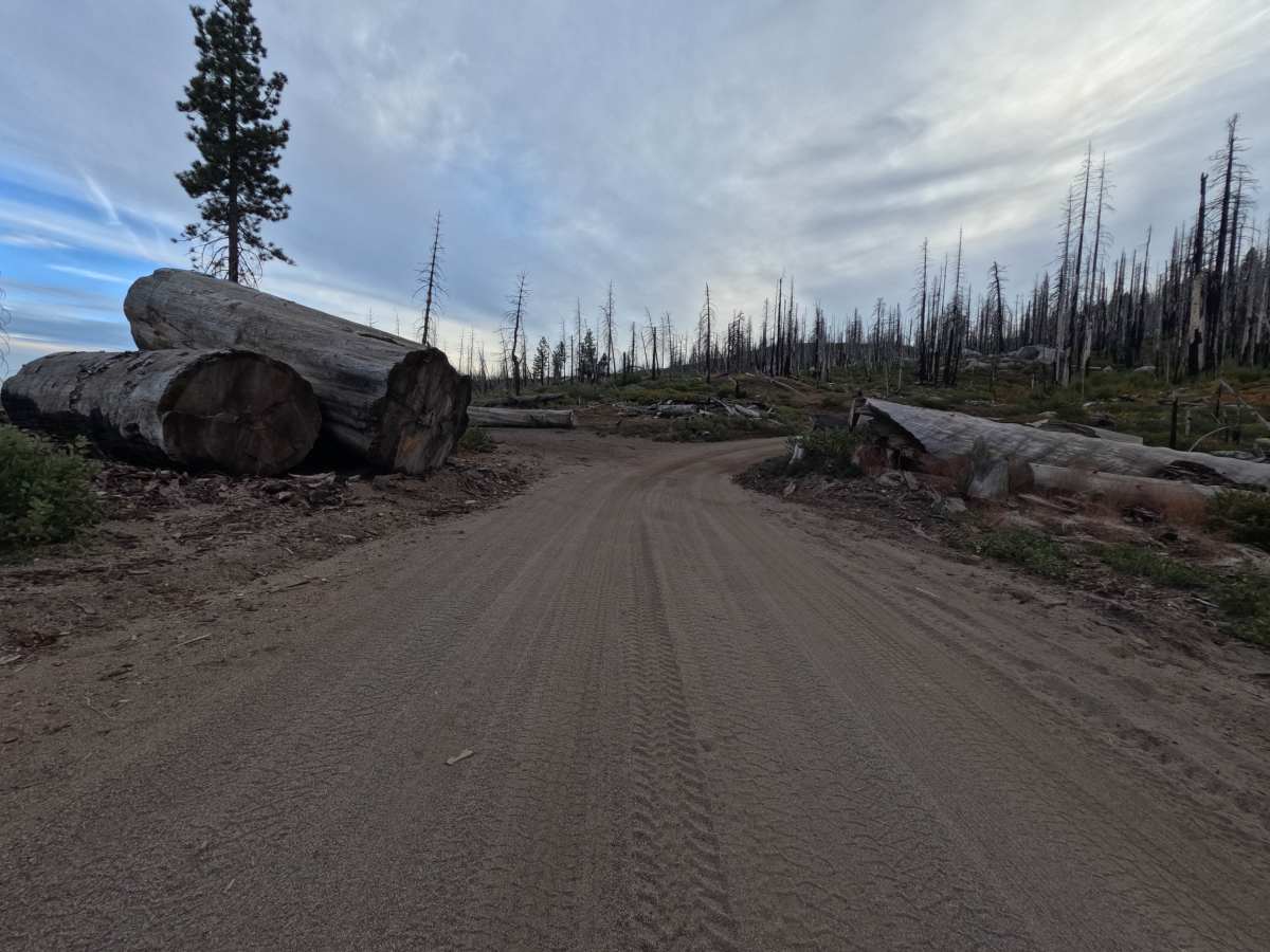
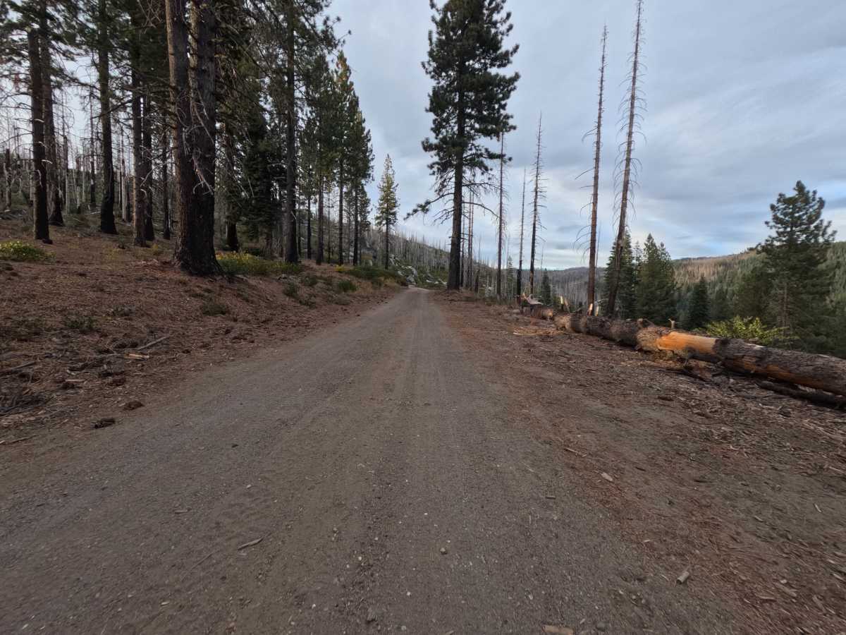
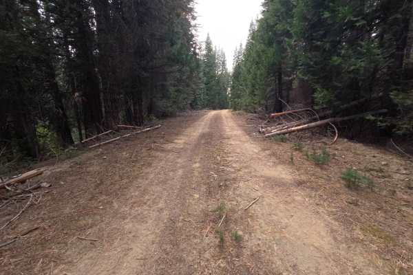
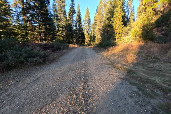
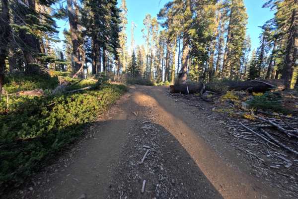
Bucks Lake (FS 24N33) is a dirt road in the Plumas National Forest, running roughly 2.9 miles from the edge of green, shaded forest into a vast burn scar on the slopes above Bucks Lake. Once past the forest edge, the canopy opens completely, and hillsides of silver and blackened snags stand above a thick regrowth of low green brush that turns gold and russet in fall. The road is benched into the slope for much of the way, with large gray granite boulders scattered along the uphill bank and wide views across forested valleys and ridges on the downhill side. Past a bend, a dispersed campsite tucked beside a cluster of huge boulders has room for one vehicle and looks out across the treetops to the blue water of Bucks Lake. The surface is a wide, hard-packed dirt road, generally flat, with scattered small stones. The road ends at a wide turnout with dispersed camping for one or two vehicles and room to turn around. Summer and fall offer the best conditions.
Difficulty
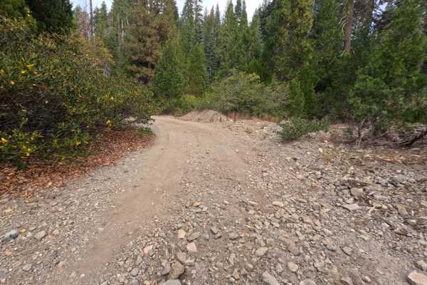
Rated a 1 because this is a wide, hard-packed dirt road that stays generally flat for its full length. A few small bumps and scattered loose stones appear along the way, and bits of bark and sticks collect on the tread through the burned sections, but none of it requires special care at a relaxed pace. There are no ruts, rock obstacles, ledges, steep pitches, or water crossings. Standard ground clearance is all that is needed.