Trail Overview
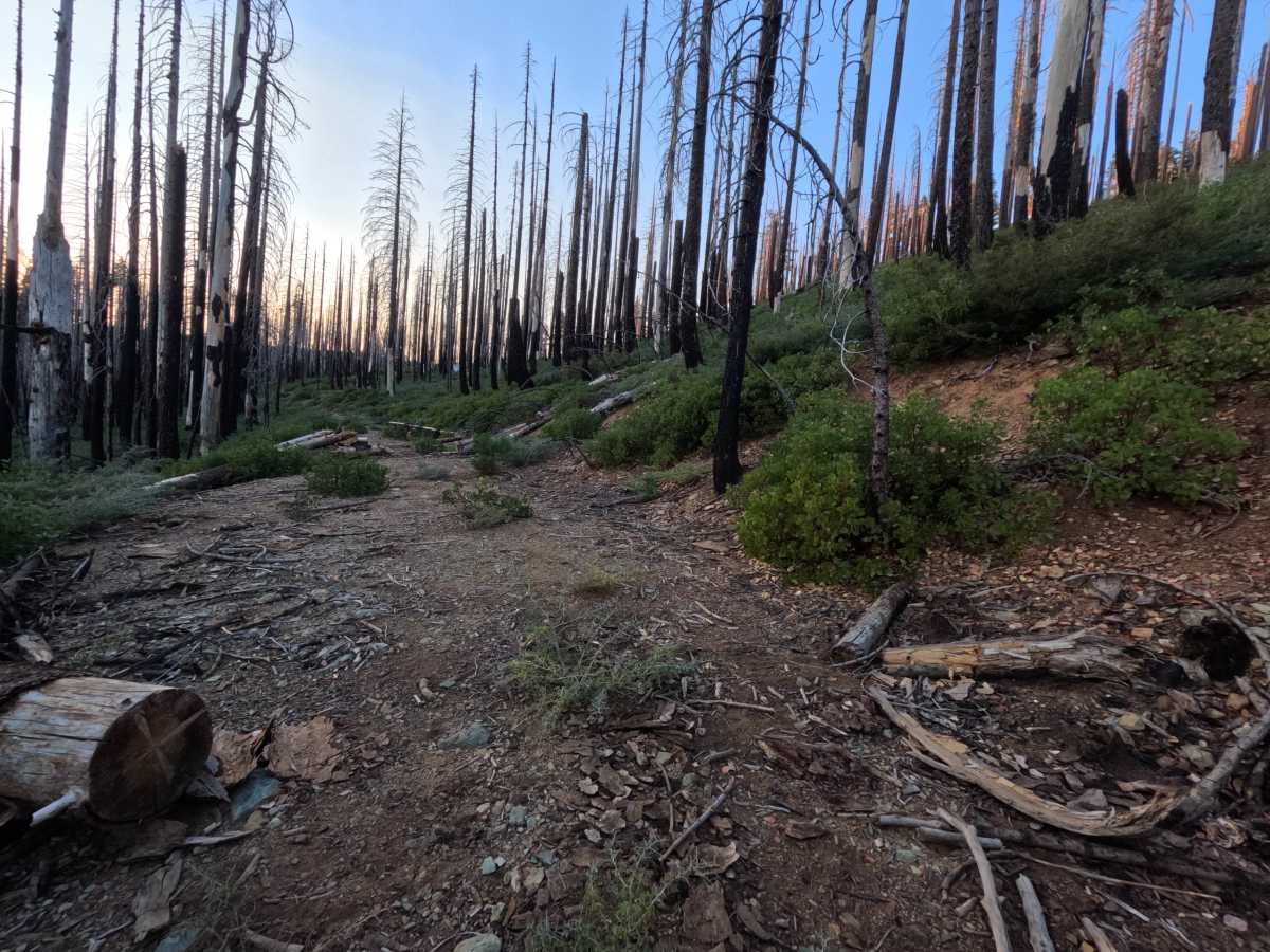
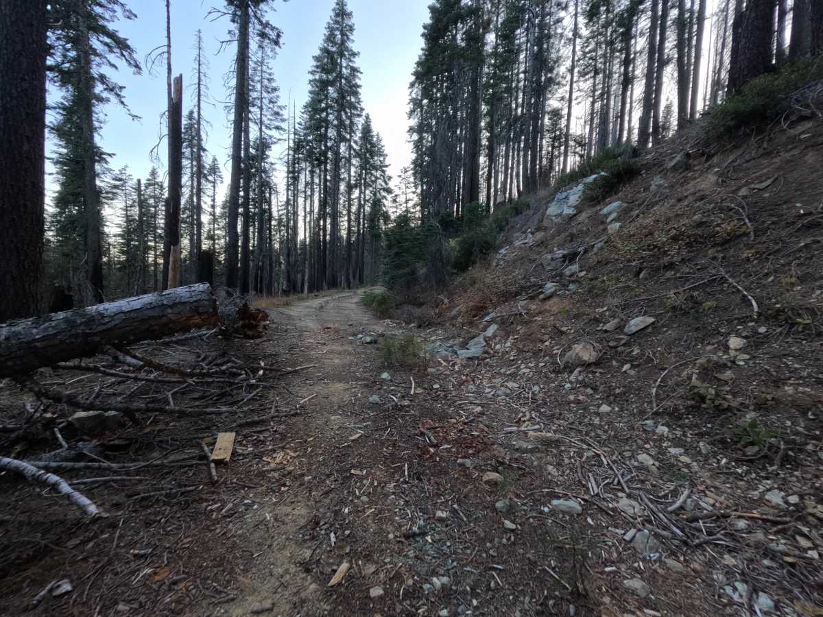
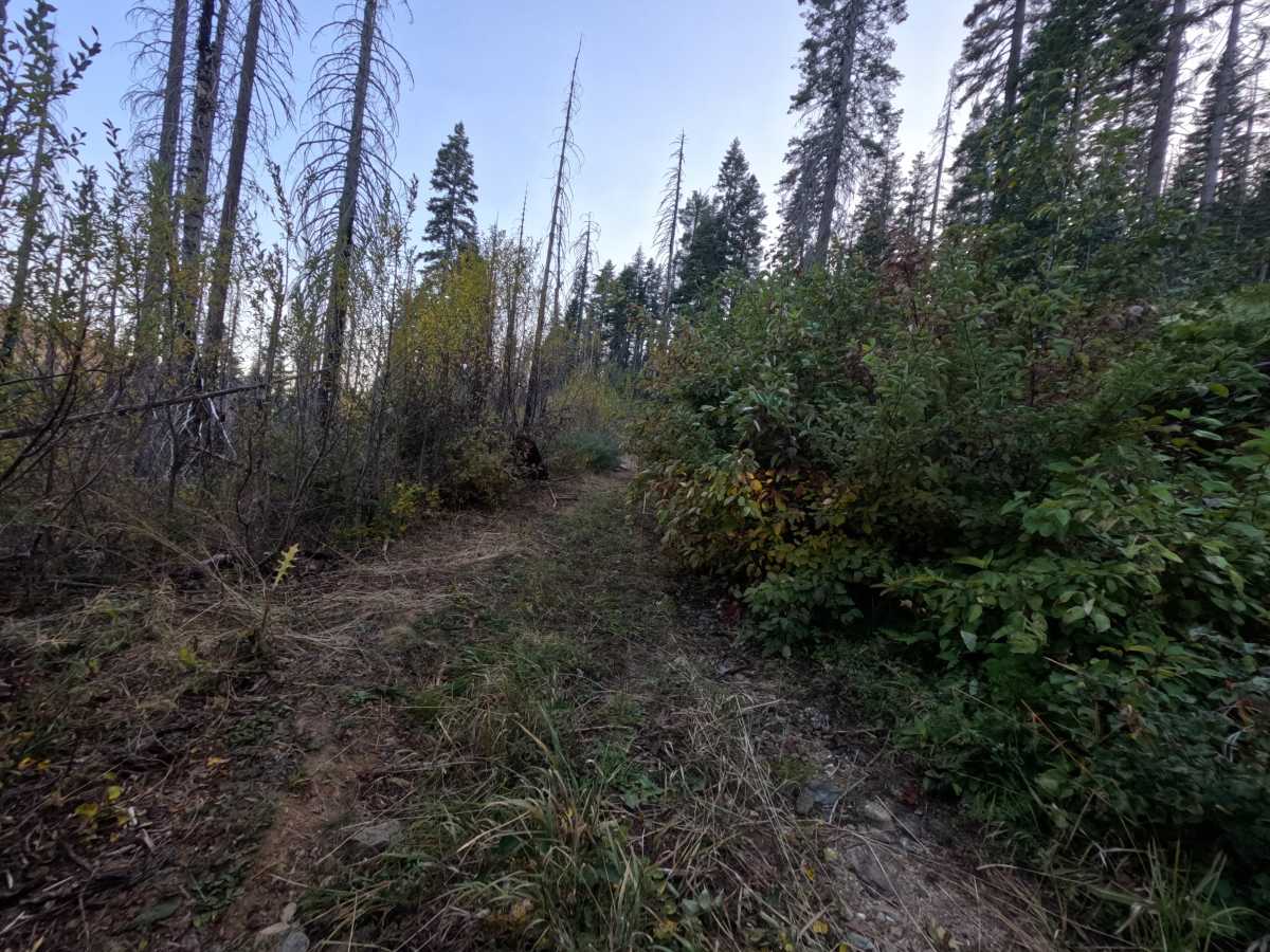
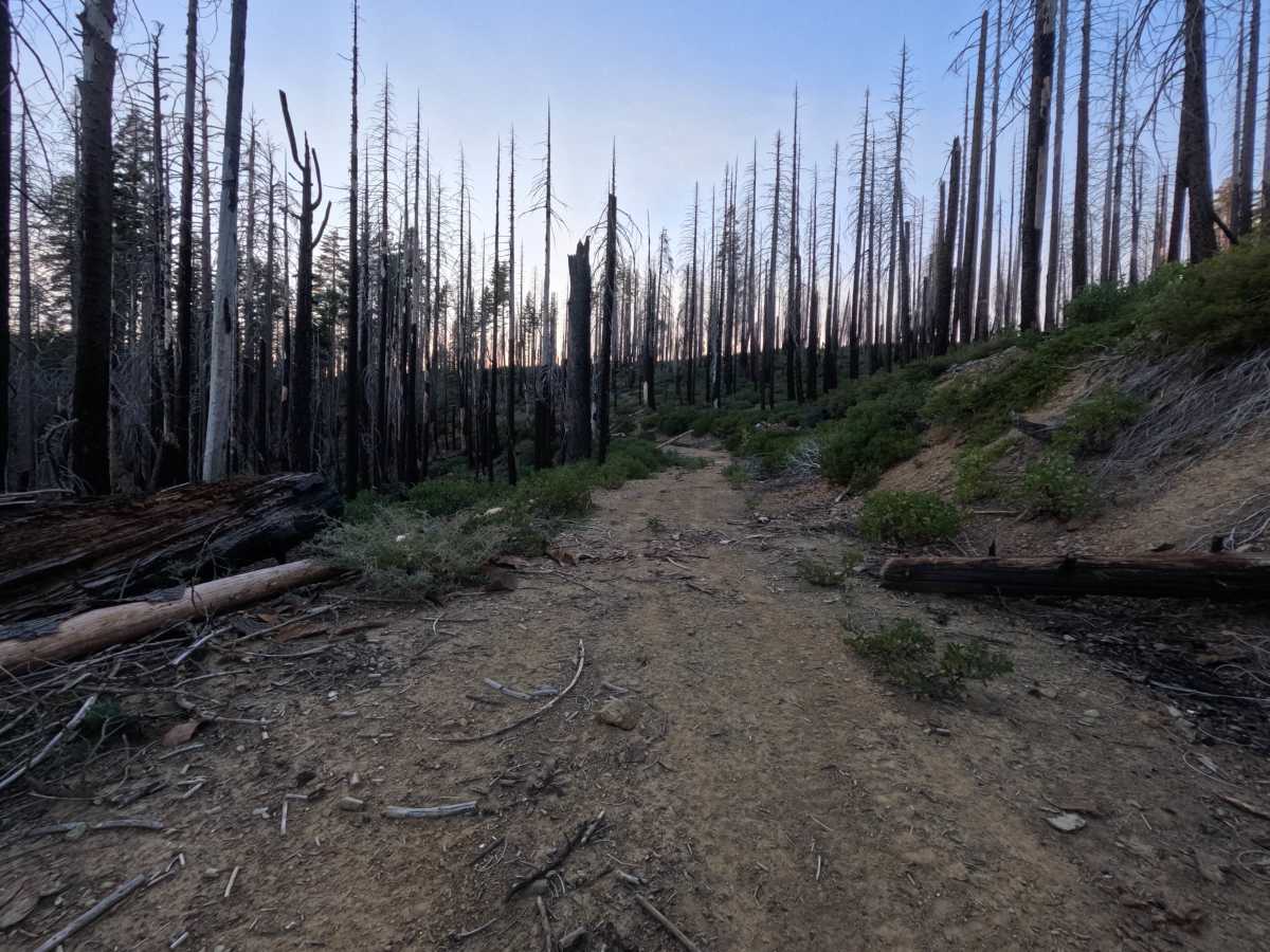
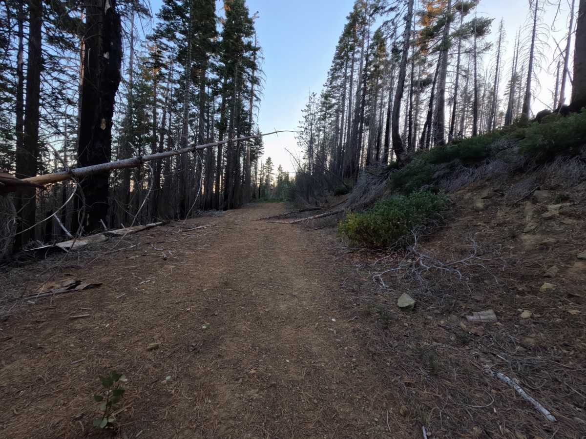
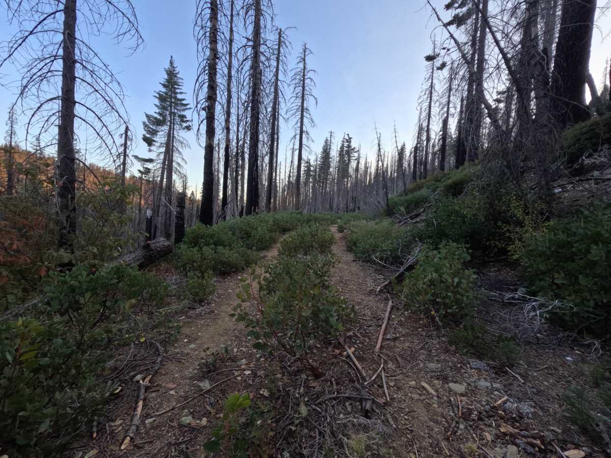
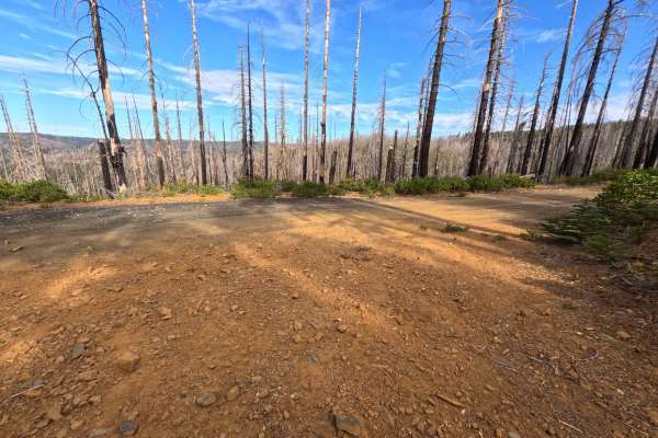
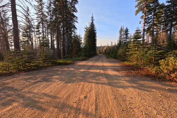
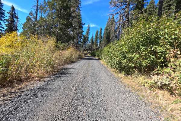
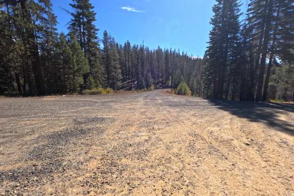
Buckhorn Cr (FS 23N83Y) leaves Coldwater Road in the Plumas National Forest and runs roughly 1.1 miles as an out-and-back spur along quiet mountain contours. The drive traverses an open landscape recovering from wildfire, where tall blackened snags stand over dense low manzanita, young brush, and patches of surviving pine. What begins as a wider gravel two-track quickly narrows into a rustic, little-traveled corridor where mountain brush and low branches press in close from both shoulders and sprout along the center berm. Drivers will encounter a natural surface of loose shale, fine gravel, and fallen organic litter, with gentle hillside grades throughout. Other faint spurs branch off along the way before the trail concludes at a turnaround point at an intersection. Summer and fall offer the best conditions.
Difficulty
Rated a 2 for an unmaintained, overgrown surface with dense brush encroaching tightly along both shoulders and small scrub growing along the center of the track. The route features uneven dirt, loose fractured rock, and organic debris, but the grades remain gentle and free of steep shelf drop-offs, deep ruts, large boulders, or slick drainage crossings, which keeps the rating from going higher. Moderate ground clearance is enough.

 Offroad