Trail Overview
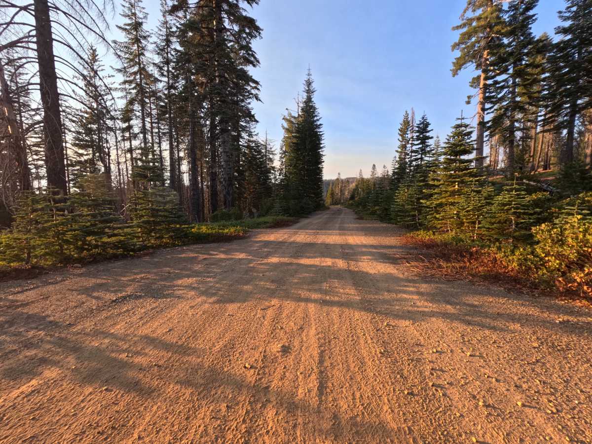
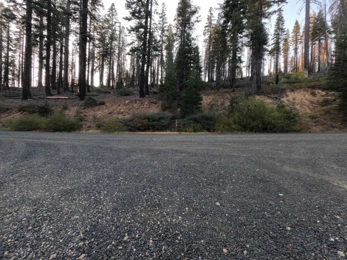
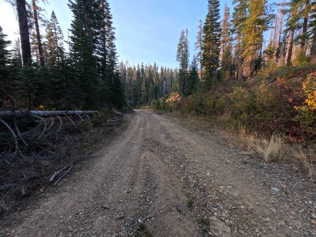
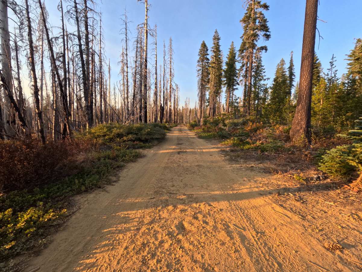
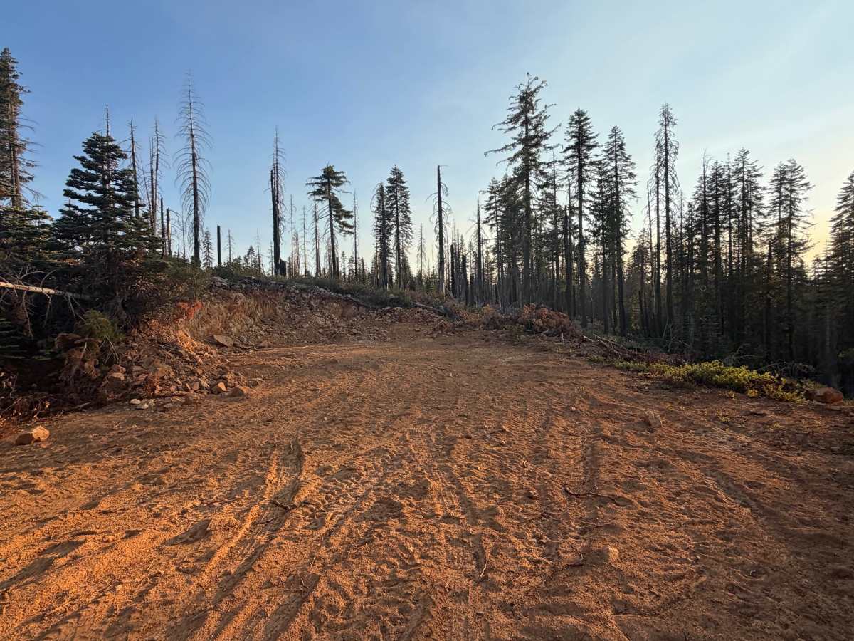
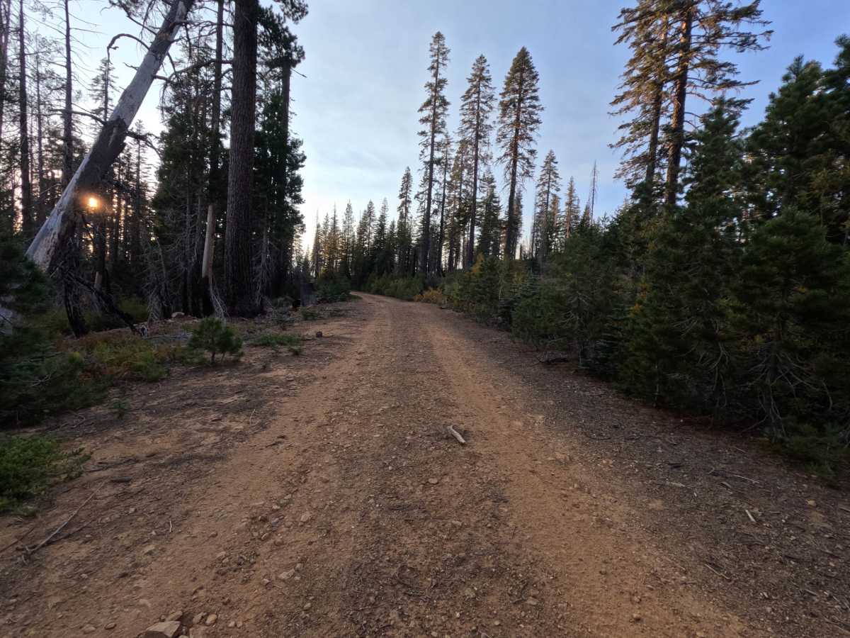
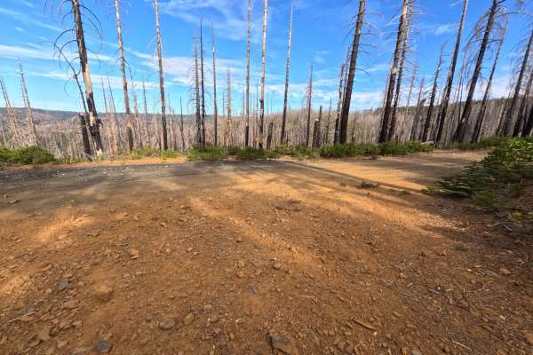
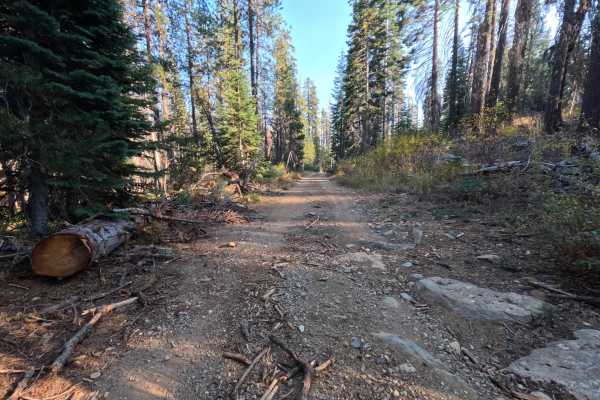
Upper China Gulch (FS 23N58) is an easy dirt connector in the Plumas National Forest, linking Coldwater Road with neighboring backcountry forest routes. The drive winds across an open ridgetop recovering from wildfire, where standing burned snags rise above golden hillside brush, young conifer saplings, and patches of shaded timber. The roadway consists of a wide, firm-packed dirt and light gravel surface following gentle terrain grades, with broad curves and clear visibility throughout. Near the midpoint of the route, a cleared flat tucked behind a bend provides a quiet dispersed campsite with room for one or two vehicles. At the far end, a wide junction flat offers plenty of room to maneuver and join cross-traffic. Summer and fall offer the best conditions.
Difficulty
Rated a 1 for a wide, smooth-packed dirt and fine gravel surface with gentle grades throughout. The roadway is well traveled and free of technical obstacles, featuring only light surface dust, occasional small pebbles, and scattered pine needles. There are no ledges, deep erosion ruts, embedded boulders, or steep pitches, which keeps the rating from going higher. Any standard vehicle can comfortably navigate the route in dry conditions.