
Dirt Bike Trails
Near Taos Ski Valley, New Mexico
Explore All Dirt Bike Trails Near Taos Ski Valley, New Mexico
Dirt Bike Trails Near Taos Ski Valley, New Mexico
Discover the best dirt bike trails near you. Browse trail maps, check difficulty ratings, and find your next adventure — whether you're looking for a quick ride or an all-day expedition.
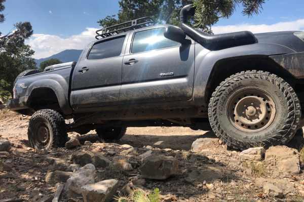
Goose Lake Trail
Goose Lake Trail ascends a tight, two-track road almost 3000 feet in 7.3 miles from the Red River Valley to one of New Mexico's most scenic high altitude lakes. Along the way, stop and explore the historic mining cabins from the late 1800s. To begin the trail, you'll have to navigate crossing the Re...
Learn more about Goose Lake Trail

FS 195W
FS 195W is a short access trail into the Elephant Rock trail system, but this is not the main entrance into the system, and riders will need to be street legal to connect to it on Highway 38. It starts as a wide road-width trail on pea-gravel that climbs up into the forest from the highway. It is un...
Learn more about FS 195W
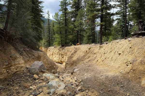
FS 195S Primitive Trail
This section of 195S is a primitive and advanced section of trail that has severe flooding damage that has caused massive washouts that will be impassable for the average rider. For those who dare, there are a few faint tracks to follow through the wash outs, but it does not appear to connect anymor...
Learn more about FS 195S Primitive Trail
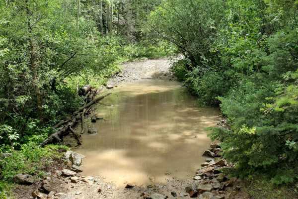
Pioneer Creek
Pioneer Creek Trail leaves from Red River behind the ski resort and then follows the canyon up. There are some large loose rocks towards the end and four water crossings where the trail crosses the creek. Although the map shows the trail goes further, it has been closed where the track ends, and a l...
Learn more about Pioneer Creek

FS 195O
FS 195O is an old mining road that is now a dirt bike trail in the Elephant Rock trail system. It’s an old shelf road that is cut into the mountain side, that is now very narrow. The trail is mostly decomposed granite, with a layer of small loose rocks, riding across hillsides of gambel oak, pondero...
Learn more about FS 195O

FS 195M
FS 195M is a fun and challenging dirt bike trail in the Elephant Rock trail system near Questa, New Mexico. Out of all of the trails in the system, this one feels most like a single track, as it is narrower. Like most of the trails in the system, it is an old mining shelf road, but it is very narrow...
Learn more about FS 195M
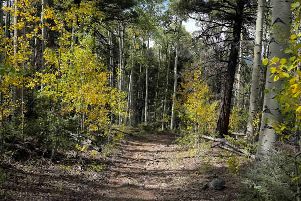
FS 195 Alternate
This is a 1.4-mile-long dirt bike trail that parallels the main Elephant Rock Trail - FS 195. On the west end, it starts at an intersection with FS 195 where the signs indicate that FS 195 goes to a photo opportunity, while this trail goes left instead. This route is very defined and easy to follow,...
Learn more about FS 195 Alternate
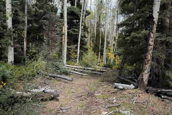
FS 195 Connector
The FS 195 Connector Trail is a quarter-mile-long dirt bike trail that connects FS 195S and the main Elephant Rock Trail 195. It goes through a narrow forested tree corridor of aspens that are really pretty in fall when the leaves start to change color. The north entrance is unmarked off of FS 195, ...
Learn more about FS 195 Connector
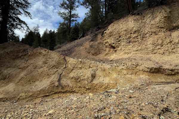
FS 195S
FS 195S is an intermediate dirt bike trail within the Elephant Rock Trail System near Questa, New Mexico. Riders should note that the section of FS 195S east of FS 195W (above the Elephant Rock Campground) has severe flood damage and does not connect easily to the main Elephant Rock - FS 195 trail a...
Learn more about FS 195S
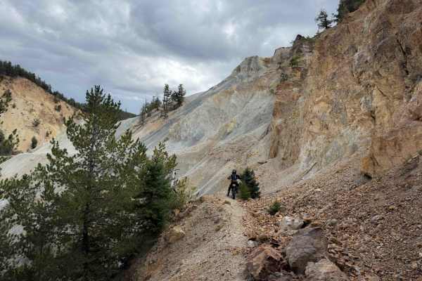
FS 195B
FS 195B is an advanced trail that should only be attempted by highly experienced and confident riders comfortable with exposed side-hilling and route finding. Before attempting this trail, riders should note that it does not seem to connect to Sawmill Road - FS 597 on the north end as the map shows....
Learn more about FS 195B
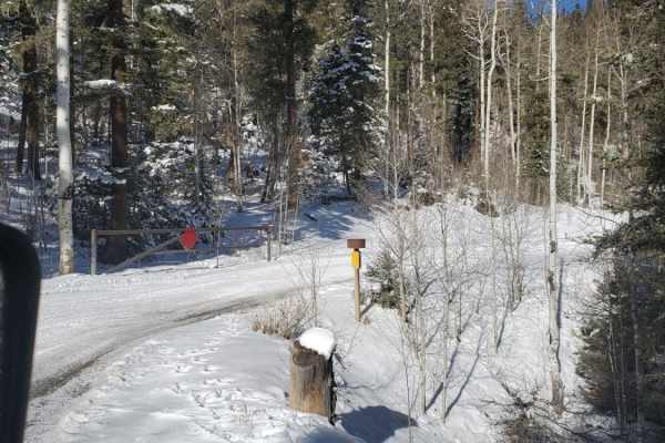
Greenie East
Greenie East is a moderately challenging 4.4-mile off-road trail near Red River, New Mexico, ideal for intermediate drivers looking for an alternative route to the high-elevation ridges of the Carson National Forest. Beginning in Mallette Canyon, this unpaved dirt route diverges from the Sawmill Tra...
Learn more about Greenie East
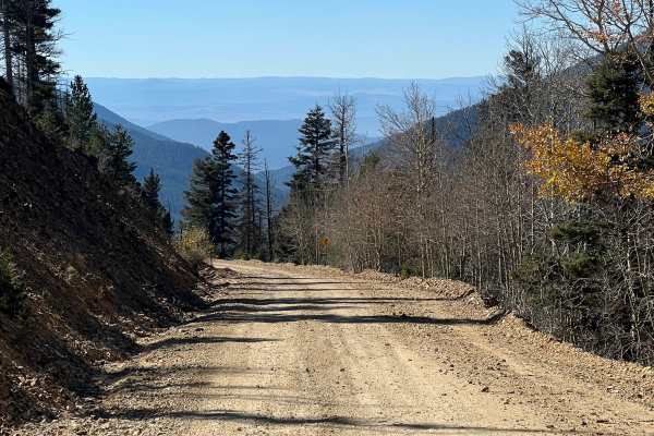
Sawmill
This is a rough and rocky mountain road that climbs high into the mountains of Carson National Forest. The route is generally easy with no technical obstacles and can be traveled in either direction. It offers excellent scenery and connects with several other notable off-road trails in the Red River...
Learn more about Sawmill
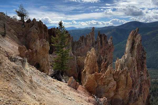
Elephant Rock - FS 195
The 10.2-mile-long Elephant Rock trail near Questa, New Mexico, is best for experienced riders who are up for an adventure. The north entrance to the trail is directly across Cabresto Road from the FS 195 Trailhead. It starts off with a stream crossing through Cabresto Creek that was shallow in late...
Learn more about Elephant Rock - FS 195
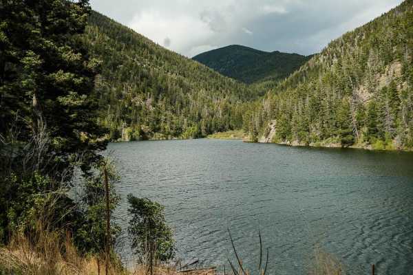
Cabresto Lake - FS 134A
Forest Service Road 134A is a steep, rocky road that leads to Cabresto Lake; it's a beautiful mountain lake surrounded by the high peaks of Carson National Forest. The trail is narrow and consists of sharp rocks no larger than 12 inches in height. High-clearance 4x4 is recommended but high-clearance...
Learn more about Cabresto Lake - FS 134A
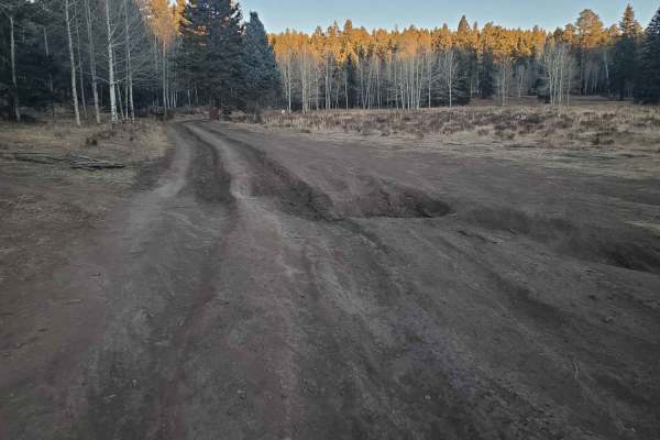
La Jara Canyon
This trail is a well-maintained forest road that leads from US 64 to some logging trails along the border of the Taos Pueblo. The road is closed near the logging trails as its condition deteriorates and has many dispersed camping sites along the length of it. Use caution for wetlands near the creek,...
Learn more about La Jara Canyon
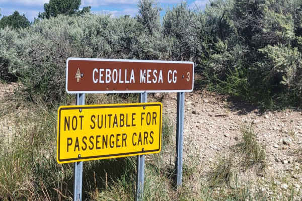
Cebolla Mesa
When the sign at the trail entrance states, "Not suitable for passenger cars", they aren't joking. This is a heavily unmaintained trail and is not recommended for anything with low clearance. Deep mud ruts are present throughout, both dry and wet. This trail may be even more challenging during/after...
Learn more about Cebolla Mesa
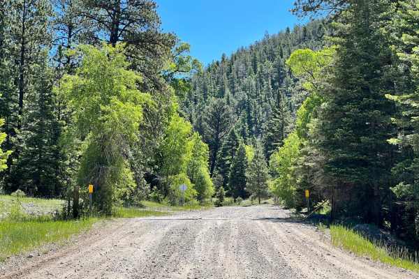
Cabresto Canyon - FS 134
Forest Service Road 134 is a rocky, relatively flat road that traverses down the Cabresto Canyon in Carson National Forest. This mostly gravel and dirt trail doesn't have any difficult obstacles and can be driven by any AWD vehicle. The 15-mile valley road is full of wildflowers, water-flowing creek...
Learn more about Cabresto Canyon - FS 134
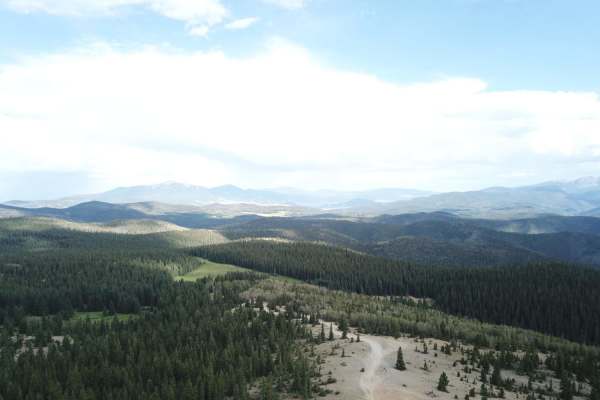
Sawmill Greenie
Sawmill Greenie is a scenic 9.3-mile point-to-point trail starting in Red River, New Mexico, that offers offroaders an alternative, winding route up to the high-altitude panoramic views of Greenie Peak. Perfect for moderately equipped four-wheel-drive vehicles and SxSs, this route begins as a wide, ...
Learn more about Sawmill Greenie
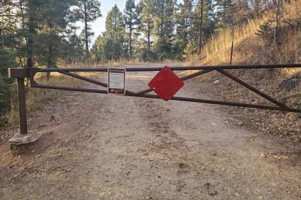
La Junta Canyon
La Junta Canyon is an easy-going, scenic drive ideal for beginners, families, and high-clearance passenger vehicles looking to explore the beautiful Carson National Forest near Taos, New Mexico. Spanning approximately 1.0 mile with an easy climb of about 354 feet, this trail winds through lush pine ...
Learn more about La Junta Canyon
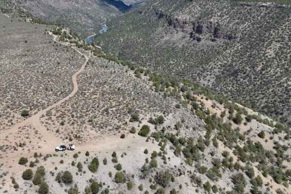
West Rim Trail
Difficulty: 2 (Easy) The West Rim trail offers 3.2 miles of scenic desert driving with spectacular canyon overlooks along the western edge of Rio Grande del Norte National Monument. Accessible from Taos Valley Road, this BLM route typically requires 45 minutes to complete, making it perfect for thos...
Learn more about West Rim Trail
ATV trails near Taos Ski Valley, New Mexico
Explore ATV-friendly trails near you. These trails are accessible for vehicles up to 50 inches wide, perfect for ATVs and smaller off-road machines.
Goose Lake Trail
Goose Lake Trail ascends a tight, two-track road almost 3000 feet in 7.3 miles from the Red River Valley to one of New Mexico's most scenic high altitude lakes. Along the way, stop and explore the historic mining cabins from the late 1800s. To begin the trail, you'll have to navigate crossing the Re...
Learn more about Goose Lake Trail
Pioneer Creek
Pioneer Creek Trail leaves from Red River behind the ski resort and then follows the canyon up. There are some large loose rocks towards the end and four water crossings where the trail crosses the creek. Although the map shows the trail goes further, it has been closed where the track ends, and a l...
Learn more about Pioneer Creek
Greenie East
Greenie East is a moderately challenging 4.4-mile off-road trail near Red River, New Mexico, ideal for intermediate drivers looking for an alternative route to the high-elevation ridges of the Carson National Forest. Beginning in Mallette Canyon, this unpaved dirt route diverges from the Sawmill Tra...
Learn more about Greenie East
Sawmill
This is a rough and rocky mountain road that climbs high into the mountains of Carson National Forest. The route is generally easy with no technical obstacles and can be traveled in either direction. It offers excellent scenery and connects with several other notable off-road trails in the Red River...
Learn more about Sawmill
UTV/side-by-side trails near Taos Ski Valley, New Mexico
Find UTV and side-by-side trails near you. These trails accommodate vehicles up to 60 inches wide, ideal for UTVs, side-by-sides, and wider off-road rigs.
Goose Lake Trail
Goose Lake Trail ascends a tight, two-track road almost 3000 feet in 7.3 miles from the Red River Valley to one of New Mexico's most scenic high altitude lakes. Along the way, stop and explore the historic mining cabins from the late 1800s. To begin the trail, you'll have to navigate crossing the Re...
Learn more about Goose Lake Trail
Pioneer Creek
Pioneer Creek Trail leaves from Red River behind the ski resort and then follows the canyon up. There are some large loose rocks towards the end and four water crossings where the trail crosses the creek. Although the map shows the trail goes further, it has been closed where the track ends, and a l...
Learn more about Pioneer Creek
Sawmill
This is a rough and rocky mountain road that climbs high into the mountains of Carson National Forest. The route is generally easy with no technical obstacles and can be traveled in either direction. It offers excellent scenery and connects with several other notable off-road trails in the Red River...
Learn more about Sawmill
Cabresto Lake - FS 134A
Forest Service Road 134A is a steep, rocky road that leads to Cabresto Lake; it's a beautiful mountain lake surrounded by the high peaks of Carson National Forest. The trail is narrow and consists of sharp rocks no larger than 12 inches in height. High-clearance 4x4 is recommended but high-clearance...
Learn more about Cabresto Lake - FS 134A
The onX Offroad Difference
onX Offroad combines trail photos, descriptions, difficulty ratings, width restrictions, seasonality, and more in a user-friendly interface. Available on all devices, with offline access and full compatibility with CarPlay and Android Auto. Discover what you're missing today!
Open Trail Map