Trail Overview
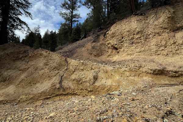
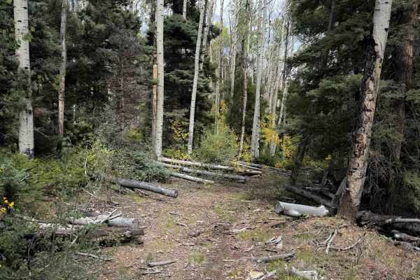
The 10.2-mile-long Elephant Rock trail near Questa, New Mexico, is best for experienced riders who are up for an adventure. The north entrance to the trail is directly across Cabresto Road from the FS 195 Trailhead. It starts off with a stream crossing through Cabresto Creek that was shallow in late summer, but could be deeper in spring. The trail is an old mining road full of loose softball-sized rocks that ping you around and will be a test of traction for inexperienced riders. The dirt underneath the loose layer of rocks is more like pea gravel. The trail immediately starts climbing up through a series of at least 15 switchbacks, climbing steeply for the first 3.5 miles of trail. The switchbacks are generally wide and approachable for the average rider, but can still be steep and rutted. Expect some mild exposure between the switchbacks as it continues as a shelf road. There will likely be a few small downed logs and branches, often at head height, that you need to watch out for. After topping out on the climb, there is an extremely steep descent that is full of loose rocks, which will be intimidating for inexperienced riders, and much more difficult in the uphill direction. It flattens out as it intersects with a few spur trails, and goes on a hilltop on a flowy and easier trail, between aspen groves, and right past the unique Elephant Rock formations – tall rock spires on the south side of the trail that you can stop and overlook. These viewpoints are the highlight of the whole trail system. There is a section of trail on the east side of these viewpoints that gets a bit more primitive and narrow, like single track, that connects you to FS 195B at another fantastic viewpoint of more colorful rock formations and eroded hillsides cut into jagged fins. From here, the trail goes south on an easier trail, through sweeping switchbacks that are less rocky than the initial switchbacks on the northern end. It follows the curvature of the hillside on a narrow and smooth path that is a mix of dirt and pea-gravel, goes over a wide wooden bridge, and ends at a metal pinch point above the Red River water treatment plant. Note that there were several unmarked intersections throughout the route, and offline maps will be essential in order to complete the route.
Difficulty
Overall, this is an intermediate trail that will test the average rider with rocky and steep climbs and tons of rocky switchbacks. The northern half of the trail is the most difficult, with a series of 15+ steep switchbacks full of loose baby heads. There aren’t any major rock ledges, but the looseness of the terrain can be very challenging if you don’t have the proper tire setup. You want a soft tire and mousse combo suited for loose desert terrain for the climbs.