
Dirt Bike Trails
Near Sugar Grove, Virginia
Explore All Dirt Bike Trails Near Sugar Grove, Virginia
Dirt Bike Trails Near Sugar Grove, Virginia
Discover the best dirt bike trails near you. Browse trail maps, check difficulty ratings, and find your next adventure — whether you're looking for a quick ride or an all-day expedition.
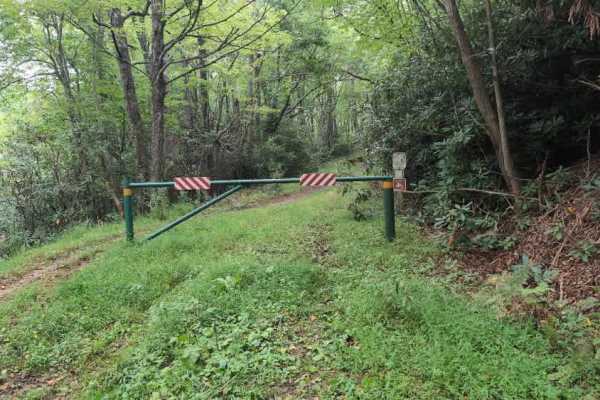
Virginia Highlands Horse Trail Spur B
Virginia Highland Horse Trail is a single-track, multiuse trail in Jefferson National Forest, accessed from FS 857 out of Sugar Grove on the eastern side and Camp Road (FS 16) on the western side. There is also a midway access point via FS 4505, which connects to Camp Road (FS 16). The trail is open...
Learn more about Virginia Highlands Horse Trail Spur B
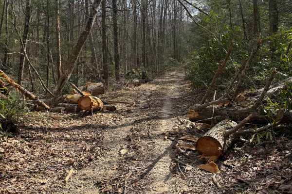
Quarter Branch Road
Quarter Branch Road (FS 49352) is a mixed-use dirt and gravel trail in Jefferson National Forest, accessed from Forest Road 601 to the east. The trail is open to motorcycles from October 1 through April 1, so plan accordingly, as the trail transitions to horseback only beyond the motorized boundary....
Learn more about Quarter Branch Road
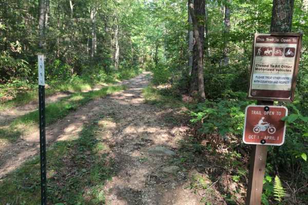
Virginia Highlands Horse Trail
Virginia Highland Horse Trail is a single-track, multi-use trail in Jefferson National Forest, accessed from Route 16 to the west. The trail is open to motorcycles from October 1 through April 1, so plan accordingly. The trail begins at a gated entrance off Route 16 with a big parking lot and a disp...
Learn more about Virginia Highlands Horse Trail
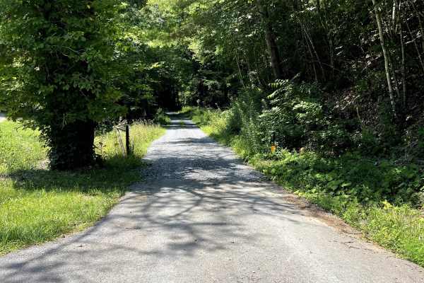
FS 243
FS 243 is a hard-packed dirt forest road that provides access to several popular hiking opportunities within the National Forest. This out-and-back trail offers a peaceful drive through the woods and serves as a gateway to multiple trailheads, including Quebec Tower, Quebec Spur B1, Quebec Spur C, a...
Learn more about FS 243
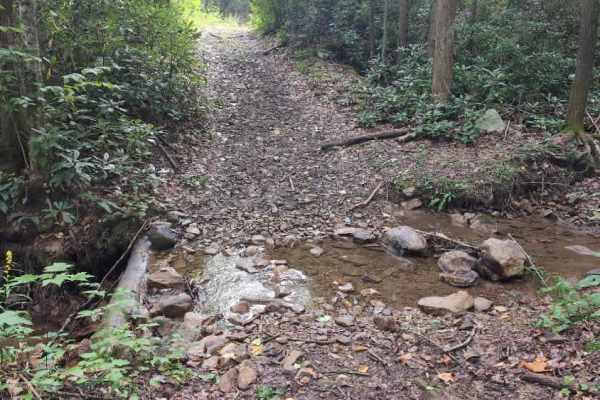
Horne Knob - FS 4530
Horne Knob (FS 4530) is a short trail that connects Camp Road (FS 16) to the Virginia Highland Horse Trail. Upon leaving Camp Road, the trail features a brief water crossing followed by a gate that includes a bypass for dirt bikes and horses. From there, it is a gradual descent to the horse trail. T...
Learn more about Horne Knob - FS 4530
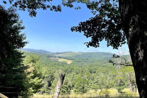
Cornflower Road
Cornflower Road (State Route 846) is a scenic route that begins as a gravel road before transitioning into dirt and eventually becoming a rougher dirt trail as it approaches the connection with Blue Springs Road. This route offers a unique change in terrain while providing access to the larger Blue ...
Learn more about Cornflower Road
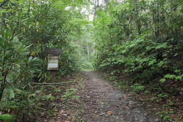
Virginia Highlands Horse Trail Spur C
Virginia Highland Horse Trail is a single-track, multiuse trail in Jefferson National Forest, accessed from Camp Road (FS 16) on the eastern side and Hale Lake Road (FS 798) on the western side. The trail is open to motorcycles from October 1 through April 1, so plan accordingly. This section begins...
Learn more about Virginia Highlands Horse Trail Spur C
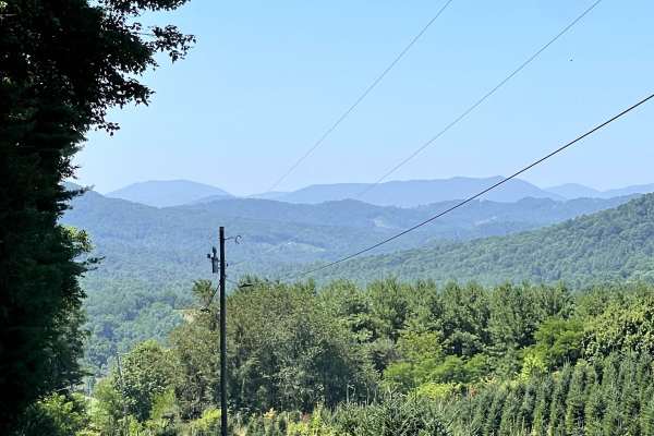
Panther Creek
Panther Creek Road is a short, well-maintained hard-packed gravel road that offers a relaxing drive through some of the area's most picturesque rural landscapes. While the route is not long, it rewards travelers with beautiful views of rolling mountain meadows and locally-grown Christmas tree farms,...
Learn more about Panther Creek
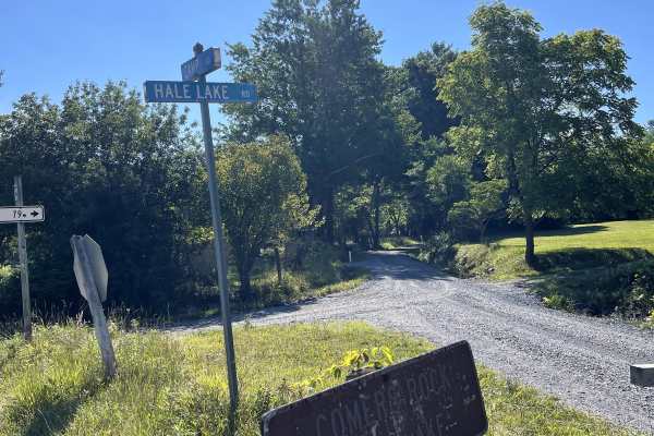
Hale Lake Road
Hale Lake Road (FS 798) can be accessed from either Camp Road or Blue Springs Road and is a well-maintained forest road that provides a scenic, easy drive through the George Washington and Jefferson National Forest. The route offers convenient access to Blue Springs Road, where several National Fore...
Learn more about Hale Lake Road
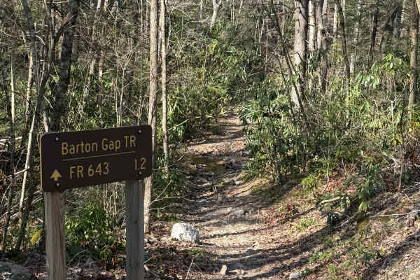
Barton Gap
Barton Gap Trail connects Forest Road 643 (Bartons Gap) to the north and Forest Road 84 (Hurricane) to the south, running through Jefferson National Forest in southwest Virginia. The trail is best suited for dirt bikes due to its tight width and technical terrain, but expect to share the trail with ...
Learn more about Barton Gap

Virginia Highlands Horse Trail Spur D
Virginia Highland Horse Trail is a single-track, multiuse trail in Jefferson National Forest, accessed from Hale Lake Road (FS 798) on the eastern end and Route 21 on the western. The trail is open to motorcycles from October 1 through April 1, so plan accordingly. This section begins off a steep cu...
Learn more about Virginia Highlands Horse Trail Spur D
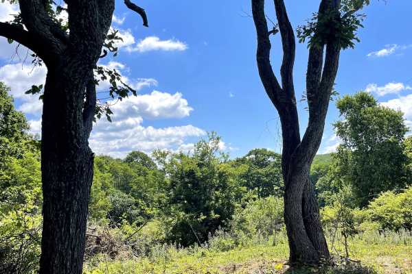
Homestead Road
Homestead Road is a bidirectional trail that can be accessed from either Highway 16 or Fairwood Road at the Fox Creek Horse Camp. The route consists primarily of hard-packed gravel and dirt, making it suitable for nearly any passenger vehicle in normal weather conditions. Along the trail, visitors w...
Learn more about Homestead Road
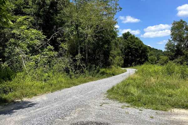
Bear Creek
Bear Creek Road is a hard-packed gravel road that winds through a scenic mountain setting before ending at a large gravel cul-de-sac that provides access to the Bear Creek hiking trail. Along the route, travelers will enjoy views of open meadows and peaceful forest surroundings, making this a relaxi...
Learn more about Bear Creek
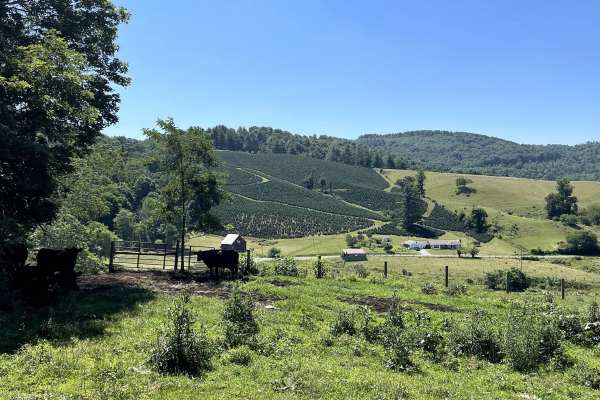
Robert's Cove
Robert's Cove Road can be accessed from either Comers Rock Road or Honey Grove Road and follows a well-maintained gravel route through the scenic mountains of southwest Virginia. The trail is suitable for all high-clearance vehicles, as well as most smaller AWD vehicles under normal conditions. The ...
Learn more about Robert's Cove
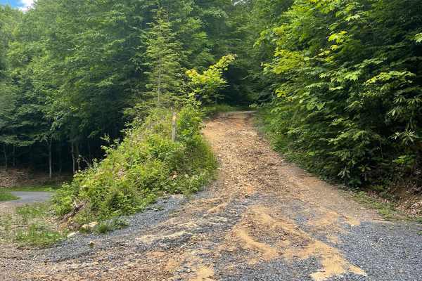
Flat Top
Flat Top Trail can be accessed from Forest Service Road 84 (Hurricane), which is part of both the Mid-Atlantic Backcountry Discovery Route (MABDR) and the Virginia TransAmerica Trail (TAT), or via Laurel Valley Road (State Route 603) across from Grindstone National Forest Campground, which is curren...
Learn more about Flat Top
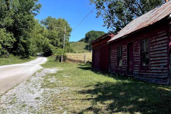
Blue Springs Road
Blue Springs Road is a scenic, hard-packed dirt and gravel forest road that provides access to both Hale Lake and Comers Rock recreation areas. The route is easy to navigate under normal conditions and is suitable for all high-clearance vehicles, as well as most smaller AWD vehicles. A large dispers...
Learn more about Blue Springs Road
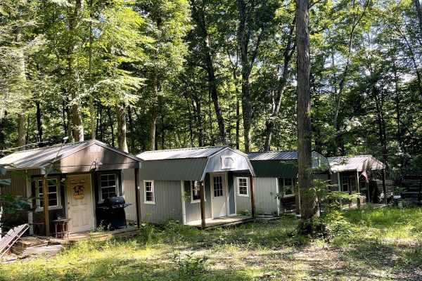
Blevins Road
Blevins Road is an easily traversable gravel road that transitions into hard-packed dirt as it progresses. Approximately 2.1 miles from the trailhead, a National Forest Service gate remains closed year-round, preventing vehicle access beyond that point. However, the gate allows passage for ADV motor...
Learn more about Blevins Road
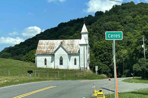
State Route 625
State Route 625 is accessed from the small backcountry community of Ceres and provides a scenic connection to Poor Valley Road (FS 222). This route follows a combination of hard-packed gravel and dirt surfaces, offering travelers an opportunity to extend their off-pavement adventure while remaining ...
Learn more about State Route 625
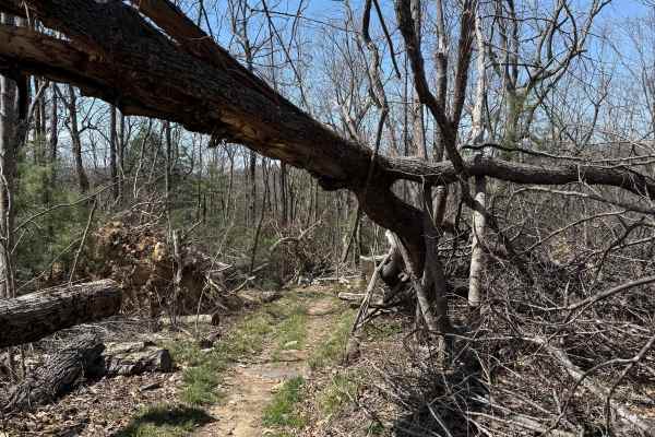
Iron Mountain Spur B
0Iron Mountain Spur B is a 6-mile single-track trail running northeast of Spur A through Jefferson National Forest, connecting Feathercamp Road to the west and Whitetop Road to the east. The trail is open to motorcycles, mountain bikes, hikers, and horseback riders — expect to encounter all of them....
Learn more about Iron Mountain Spur B
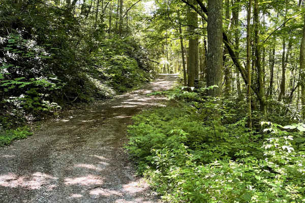
FS 615
FS 615 (Sturgill Road) provides access to FS 90 (Feathercamp Road) and the Iron Mountain ADV Trail Spur. Approximately 1.2 miles from the junction of Iron Mountain Spur and FS 90, you'll encounter a locked Forest Service gate that remains closed to full-size motor vehicles. Beyond the gate, the rout...
Learn more about FS 615
ATV trails near Sugar Grove, Virginia
Explore ATV-friendly trails near you. These trails are accessible for vehicles up to 50 inches wide, perfect for ATVs and smaller off-road machines.
Quarter Branch Road
Quarter Branch Road (FS 49352) is a mixed-use dirt and gravel trail in Jefferson National Forest, accessed from Forest Road 601 to the east. The trail is open to motorcycles from October 1 through April 1, so plan accordingly, as the trail transitions to horseback only beyond the motorized boundary....
Learn more about Quarter Branch Road
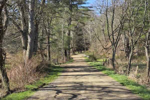
Star Gap
Star Gap Road is an easy gravel route that offers a simple and relaxed drive through a rural setting. The road surface is generally well-maintained with gentle grades, making it accessible for most vehicles under normal conditions. The route is straightforward and does not introduce technical terrai...
Learn more about Star Gap
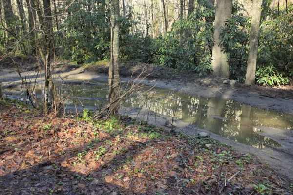
Gentry Creek
Gentry Creek is a short, easy gravel trail that offers a simple and low-effort drive through a quiet setting. The route begins in close proximity to private property, so drivers should maintain low speeds, stay on the designated path, and be respectful of surrounding landowners. The trail surface is...
Learn more about Gentry Creek
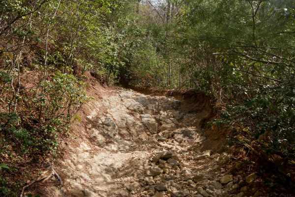
115
Trail 115 is one of the most difficult routes in the Doe Mountain trail system, despite being only about a quarter mile long. Note that it is locally recognized as a "most difficult" black trail and is a restricted trail for the DMRA SxS rentals. It gains roughly 350 feet of elevation from north to ...
Learn more about 115
UTV/side-by-side trails near Sugar Grove, Virginia
Find UTV and side-by-side trails near you. These trails accommodate vehicles up to 60 inches wide, ideal for UTVs, side-by-sides, and wider off-road rigs.
Star Gap
Star Gap Road is an easy gravel route that offers a simple and relaxed drive through a rural setting. The road surface is generally well-maintained with gentle grades, making it accessible for most vehicles under normal conditions. The route is straightforward and does not introduce technical terrai...
Learn more about Star Gap
Gentry Creek
Gentry Creek is a short, easy gravel trail that offers a simple and low-effort drive through a quiet setting. The route begins in close proximity to private property, so drivers should maintain low speeds, stay on the designated path, and be respectful of surrounding landowners. The trail surface is...
Learn more about Gentry Creek
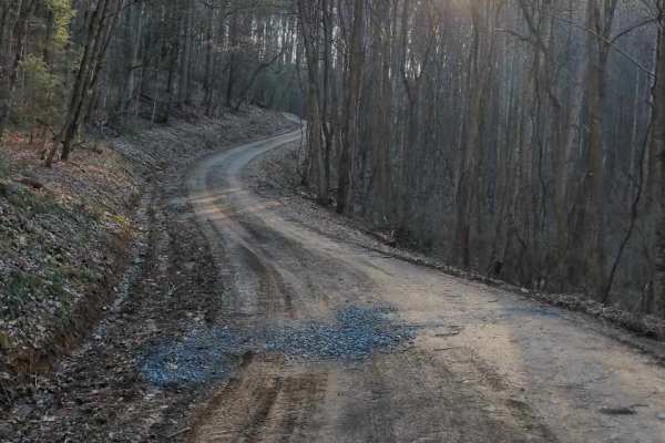
Government Road - FS 43
Forest Service Road 43, commonly known as Government Road, begins outside the town of Damascus, Virginia, and travels generally south toward the Virginia–Tennessee state line through rugged forested terrain. The road provides access to public lands, remote recreation areas, and surrounding mountain ...
Learn more about Government Road - FS 43
115
Trail 115 is one of the most difficult routes in the Doe Mountain trail system, despite being only about a quarter mile long. Note that it is locally recognized as a "most difficult" black trail and is a restricted trail for the DMRA SxS rentals. It gains roughly 350 feet of elevation from north to ...
Learn more about 115
The onX Offroad Difference
onX Offroad combines trail photos, descriptions, difficulty ratings, width restrictions, seasonality, and more in a user-friendly interface. Available on all devices, with offline access and full compatibility with CarPlay and Android Auto. Discover what you're missing today!
Open Trail Map