Trail Overview
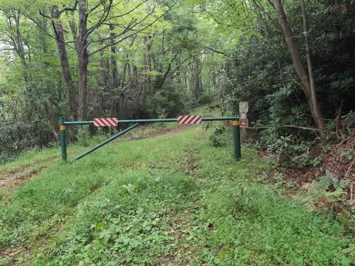
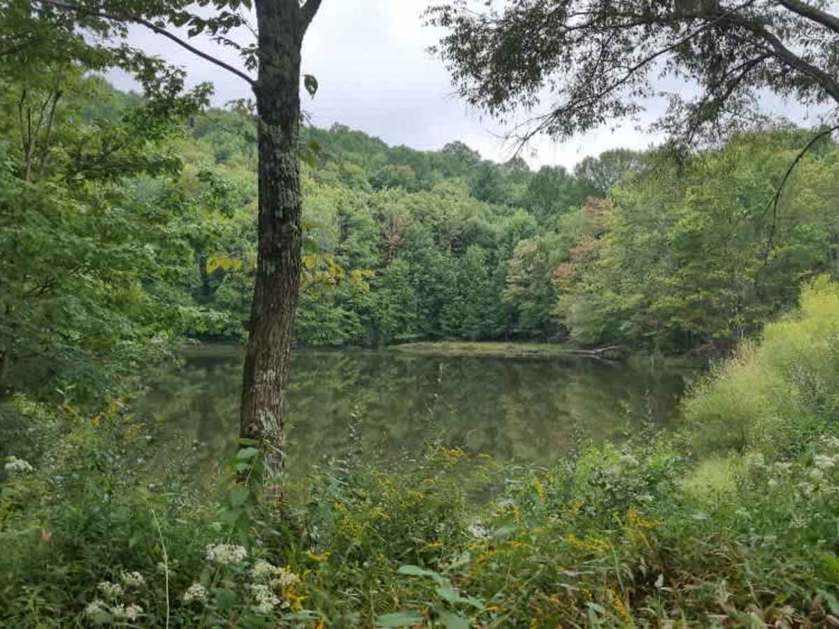
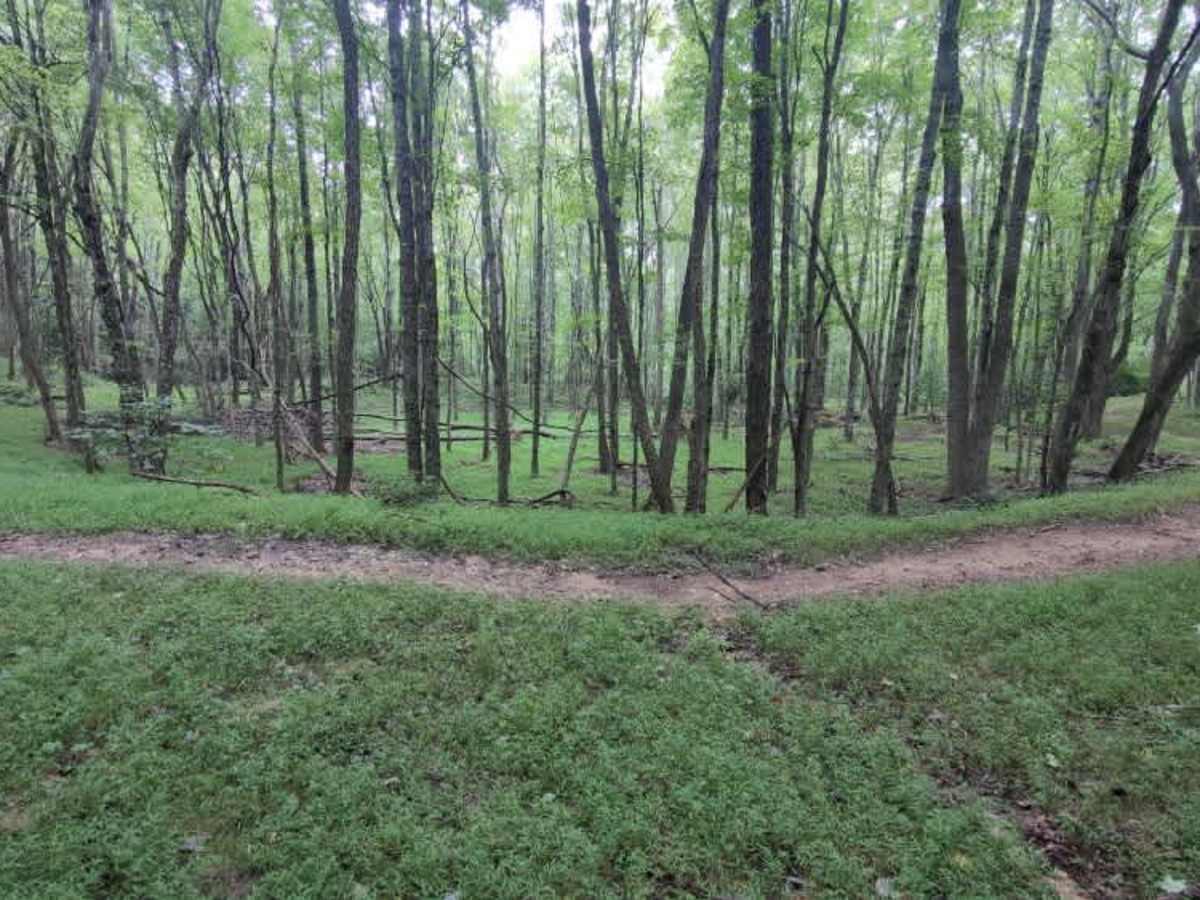
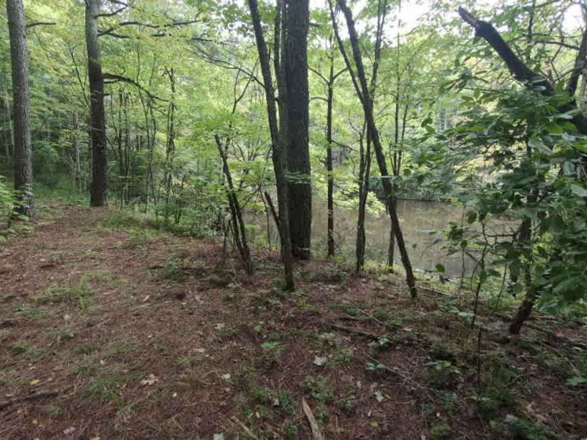
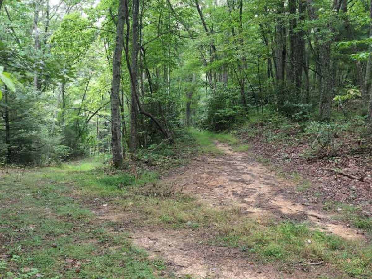
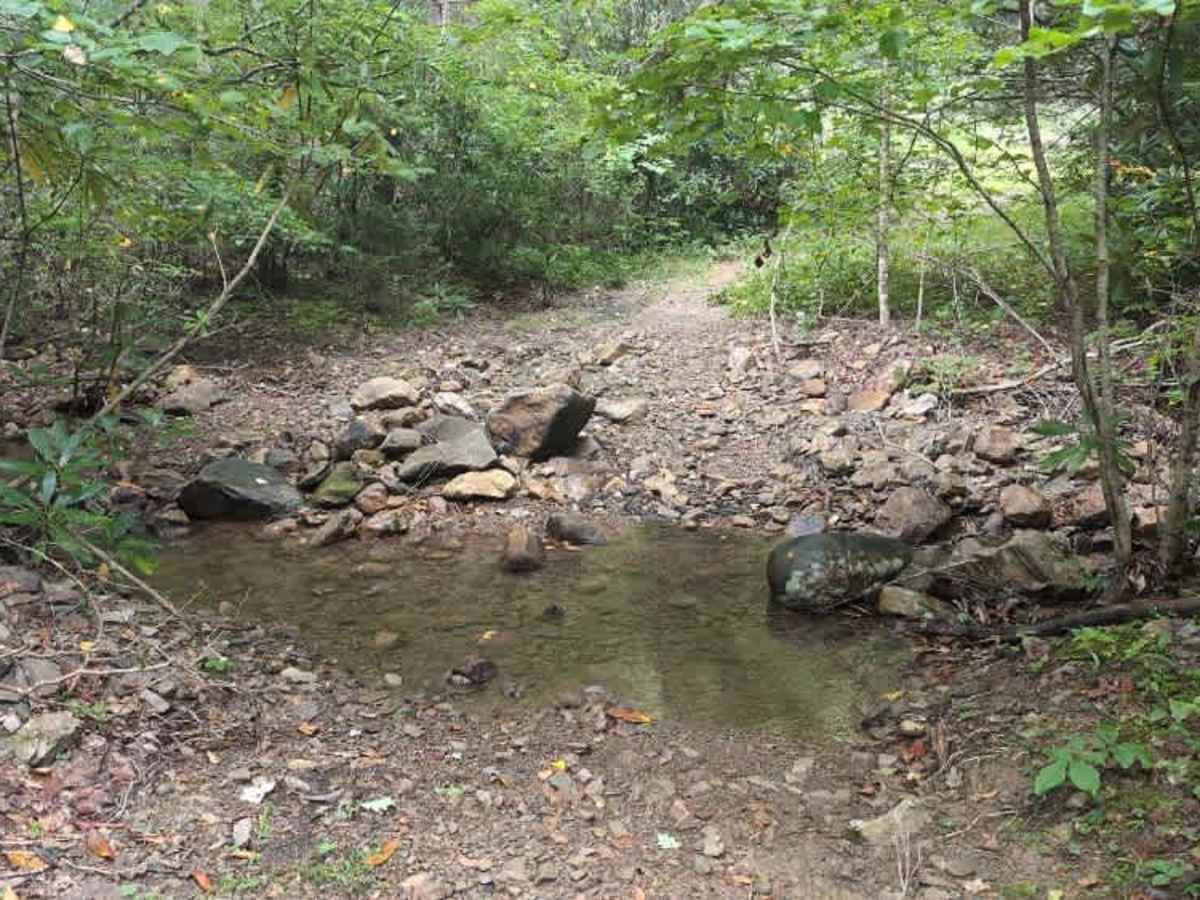
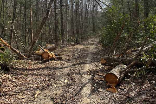
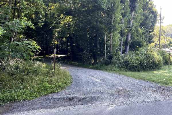
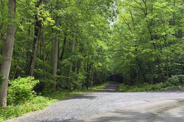
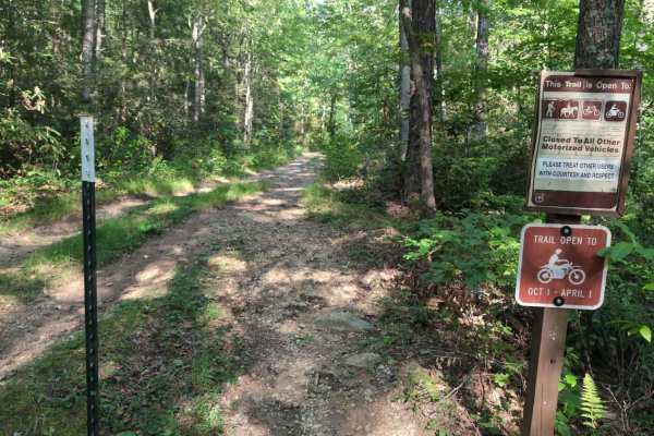
Virginia Highland Horse Trail is a single-track, multiuse trail in Jefferson National Forest, accessed from FS 857 out of Sugar Grove on the eastern side and Camp Road (FS 16) on the western side. There is also a midway access point via FS 4505, which connects to Camp Road (FS 16). The trail is open to motorcycles from October 1 through April 1, so plan accordingly. This section begins off a gravel road and remains relatively flat and wide. The trail features rocks and mud holes, along with a creek crossing near FS 4505 that is approximately 4 to 8 feet wide, depending on recent rainfall. This section is wider and was likely once an access road or old logging road. There are some ruts and rollers to keep things interesting, and there are numerous turns and the occasional downed tree. This section also includes a larger trout pond and two smaller ponds that could serve as scenic camping spots.