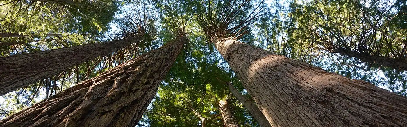
Dirt Bike Trails
Near Quincy, California
Explore All Dirt Bike Trails Near Quincy, California
Dirt Bike Trails Near Quincy, California
Discover the best dirt bike trails near you. Browse trail maps, check difficulty ratings, and find your next adventure — whether you're looking for a quick ride or an all-day expedition.
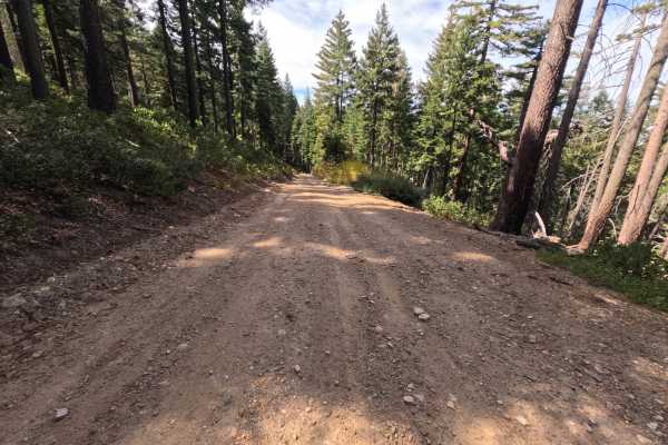
Claremont Tie - FS 24N21
Claremont Tie (FS 24N21) is a short, easy connector in the Plumas National Forest, linking East Claremont road on the ridgeline with the Mill Creek road (FS 24N20) as it winds down the mountainside. The upper section crosses open slopes recovering from the 2020 North Complex Fire, where low green br...
Learn more about Claremont Tie - FS 24N21
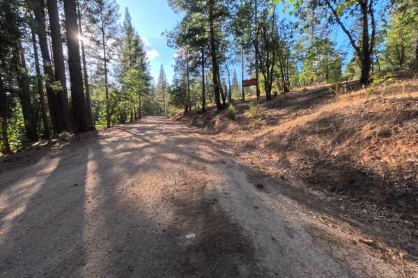
Powerline - FS 25N83
Powerline (FS 25N83) is a long, well-traveled dirt connector in the Plumas National Forest, linking State Route 70 in the Feather River canyon with a network of spur roads on the ridges above. The road climbs gently from the highway through shaded stands of tall ponderosa pine, cedar, fir, and black...
Learn more about Powerline - FS 25N83
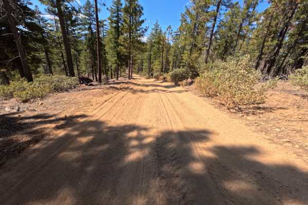
Whitlock Tie - FS 9M39
Whitlock Tie (FS 9M39) is a short dirt connector in the Plumas National Forest that follows the spine of a ridge between the Whitlock Tie Spur (FS 9M39A) and an intersection offering access to the Snake Lake Loop road (FS 24N09Y). The route rides the crest through open stands of tall ponderosa pine ...
Learn more about Whitlock Tie - FS 9M39
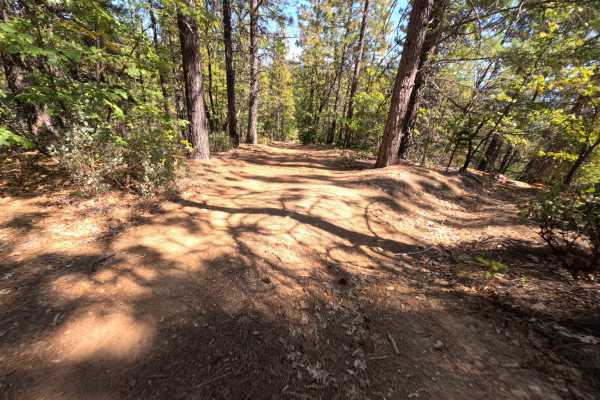
Whitlock Tie Spur - FS 9M39A
Whitlock Tie Spur (FS 9M39A) is a short out-and-back dirt route branching off Gopher Road (FS 24N25X) in the Plumas National Forest, passing a junction with another tie route along the way. Just past the start, a small hiking trailhead marked by a brown trail post has room for a single vehicle, so w...
Learn more about Whitlock Tie Spur - FS 9M39A
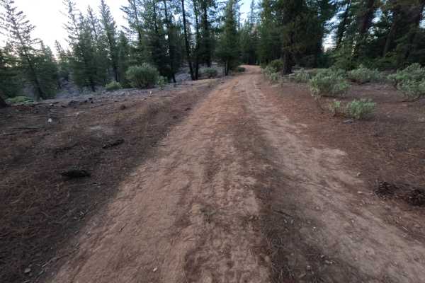
Mount Hough Loop - FS 9M49
Mt Hough Loop (FS 9M49) is a short, rugged dirt route on the slopes of Mount Hough in the Plumas National Forest, running roughly 1.1 miles from its junction as an out-and-back. The route winds through open stands of ponderosa pine and fir with dense manzanita lining much of the way, and breaks in t...
Learn more about Mount Hough Loop - FS 9M49
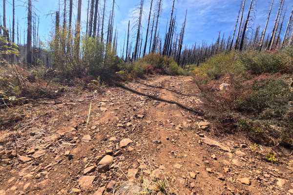
East Claremont 4x4 - FS 9M61
East Claremont 4x4 (FS 9M61) is a narrow dirt and rock connector in the Plumas National Forest, climbing from a three-way intersection near the Thompson Creek road (FS 24N14) and East Claremont road to follow the spine of the mountain toward a network of other spurs. The route passes through a mix o...
Learn more about East Claremont 4x4 - FS 9M61
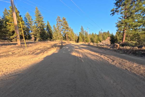
FS 24N09Y
FS 24N09Y is a short dirt connector in the Plumas National Forest, branching off the Powerline Road (FS 25N83) where the two briefly run side by side, then climbing away to a saddle where another spur continues along the ridge. The route winds through open stands of tall ponderosa pine, fir, and ced...
Learn more about FS 24N09Y
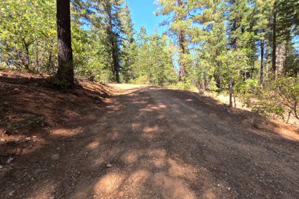
Blackhawk Loop - FS 25N13
Blackhawk Loop (FS 25N13) is a quiet dirt connector that follows the ridgeback above the Feather River country in the Plumas National Forest, linking the Blackhawk Spur with a wide bend where two more spur roads branch off. The route climbs at a gentle, steady grade through a mostly green, unburned ...
Learn more about Blackhawk Loop - FS 25N13
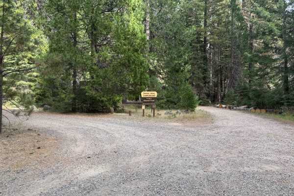
Slate Creek - FS 24N28
Serving as a vital connector route that provides throughput deeper into the woodland, Slate Creek Road (FS 24N28) is currently accessed via the intersection of Mill Creek (FS 24N20) due to a bridge closure and active logging on the Bucks Lake Road side. The trail traverses a lush, dense coniferous f...
Learn more about Slate Creek - FS 24N28
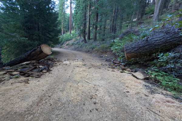
Mill Creek - FS 24N20
Mill Creek (FS 24N20) is a wide, hard-packed dirt and gravel connector in the Plumas National Forest, linking Slate Creek Road (FS 24N28) with the main road into Quincy and serving as a handy backcountry route toward East Quincy. Several spur roads branch off along the way. The drive moves through t...
Learn more about Mill Creek - FS 24N20
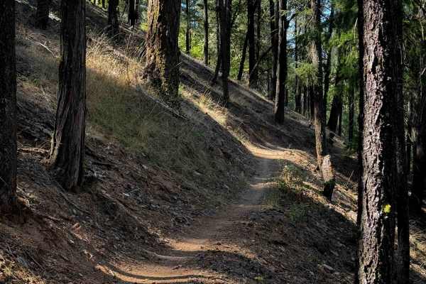
Huffleberry
Huffleberry is a short connector trail – 1 mile long – that connects the road 10M20 to the Berry Creek Trail. It’s mostly a semi-steep descent from south to north, as it side-hills across some dry pine hillsides on a narrow shelfy single track. There are several really wide switchbacks right away th...
Learn more about Huffleberry
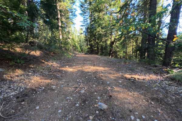
East Serpentine Spur - FS 24N84B
East Serpentine Spur (FS 24N84B) is a short out-and-back dirt spur off the East Serpentine Road (FS 24N84) in the Plumas National Forest, descending gently along the mountainside for roughly 1.3 miles. The route rolls through quiet, mixed forest with brushy shoulders and cut banks on the uphill side...
Learn more about East Serpentine Spur - FS 24N84B
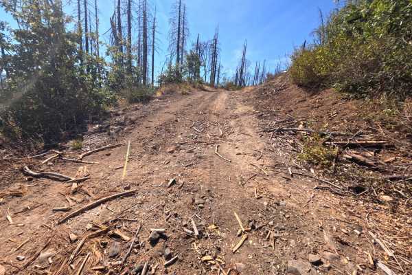
Thompson Creek - FS 24N14
Thompson Creek (FS 24N14) branches off the Thompson Willow road (FS 24N13) at the edge of a large burn scar in the Plumas National Forest and climbs roughly 1.7 miles to a saddle on the mountaintop. The entire route runs through country burned in the 2020 North Complex Fire, where dense stands of si...
Learn more about Thompson Creek - FS 24N14
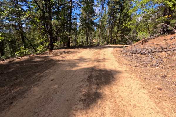
Whitlock Spur - FS 24N25XA
Whitlock Spur (FS 24N25XA) is a short dirt spur branching off Gopher Road (FS 24N25X) in the Plumas National Forest, running roughly half a mile through quiet, open forest on the hills above the Feather River country. The route begins with a gentle descent and passes several side spurs before ending...
Learn more about Whitlock Spur - FS 24N25XA
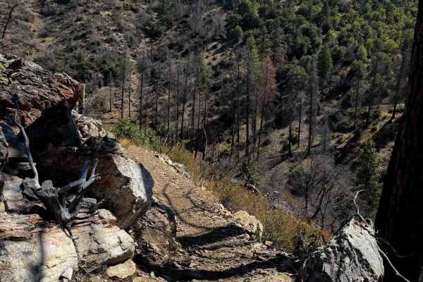
Lower Acorn Grotto
The lower portion of Acorn Grotto is a fun new trail on the west side of the Mount Hough Trail System, and will also be popular with mountain bikers. The south end starts as an easy path meandering through the oak trees in flat dry terrain. It starts to get shelfier as it goes around the edge of the...
Learn more about Lower Acorn Grotto
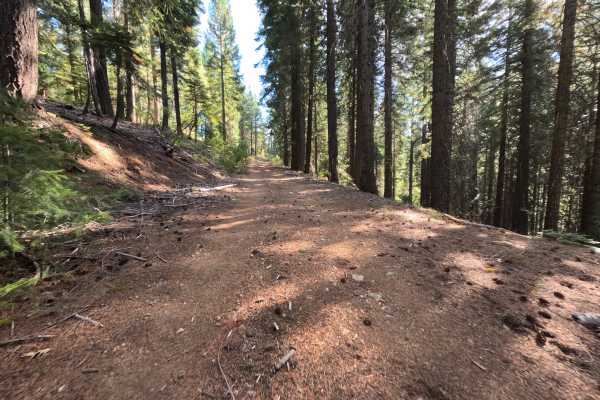
East Serpentine - FS 24N84
East Serpentine (FS 24N84) is a rugged route in the Plumas National Forest, climbing steadily for roughly 2.6 miles up a steep mountainside. The road begins as a narrow natural-surface track through quiet forest, then pushes through a short stretch where dense brush crowds both sides and brushes aga...
Learn more about East Serpentine - FS 24N84
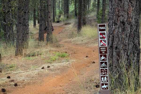
Berry Creek Tie
This is a short connector trail in the Mount Hough trail system. The south end starts across from the Fireline trail, and after .6 miles it joins the Berry Creek Trail. It’s overall very easy and gradual, with the steepest part being on the south end as it descends through a couple of gradual switc...
Learn more about Berry Creek Tie
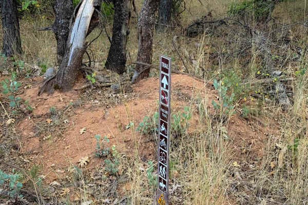
Fireline
The west end of Fireline starts across the road from the Berry Creek Tie, and it makes a .7 mile long loop to the main road (403) just south of the 4 Corners staging area. It’s a very easy and approachable trail, being a wide single track through a dry and sparse pine forest. The trail meanders alon...
Learn more about Fireline
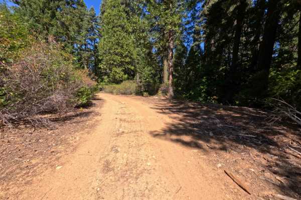
Schneider Tie - FS 24N69
Beginning exactly where the previous Schneider Tie segment (FS 8M12) concludes, this continuation of the Schneider Tie (FS 24N69) functions as a highly useful connector road linking overlanders directly to Little Schneider Creek Road. Situated within the beautiful, shaded confines of the Plumas Nati...
Learn more about Schneider Tie - FS 24N69
Schneider Tie - FS 8M12
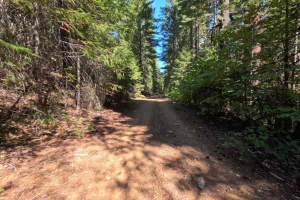
Originating from Slate Creek Road, the Schneider Tie (FS 8M12) serves as a vital connecting route that links backcountry explorers to another segment of the broader Schneider Tie trail network. Nestled deep within the Plumas National Forest, the surrounding woodland environment is characterized by a...
Learn more about Schneider Tie - FS 8M12
ATV trails near Quincy, California
Explore ATV-friendly trails near you. These trails are accessible for vehicles up to 50 inches wide, perfect for ATVs and smaller off-road machines.
Claremont Tie - FS 24N21
Claremont Tie (FS 24N21) is a short, easy connector in the Plumas National Forest, linking East Claremont road on the ridgeline with the Mill Creek road (FS 24N20) as it winds down the mountainside. The upper section crosses open slopes recovering from the 2020 North Complex Fire, where low green br...
Learn more about Claremont Tie - FS 24N21
Powerline - FS 25N83
Powerline (FS 25N83) is a long, well-traveled dirt connector in the Plumas National Forest, linking State Route 70 in the Feather River canyon with a network of spur roads on the ridges above. The road climbs gently from the highway through shaded stands of tall ponderosa pine, cedar, fir, and black...
Learn more about Powerline - FS 25N83
Whitlock Tie - FS 9M39
Whitlock Tie (FS 9M39) is a short dirt connector in the Plumas National Forest that follows the spine of a ridge between the Whitlock Tie Spur (FS 9M39A) and an intersection offering access to the Snake Lake Loop road (FS 24N09Y). The route rides the crest through open stands of tall ponderosa pine ...
Learn more about Whitlock Tie - FS 9M39
Whitlock Tie Spur - FS 9M39A
Whitlock Tie Spur (FS 9M39A) is a short out-and-back dirt route branching off Gopher Road (FS 24N25X) in the Plumas National Forest, passing a junction with another tie route along the way. Just past the start, a small hiking trailhead marked by a brown trail post has room for a single vehicle, so w...
Learn more about Whitlock Tie Spur - FS 9M39A
UTV/side-by-side trails near Quincy, California
Find UTV and side-by-side trails near you. These trails accommodate vehicles up to 60 inches wide, ideal for UTVs, side-by-sides, and wider off-road rigs.
Claremont Tie - FS 24N21
Claremont Tie (FS 24N21) is a short, easy connector in the Plumas National Forest, linking East Claremont road on the ridgeline with the Mill Creek road (FS 24N20) as it winds down the mountainside. The upper section crosses open slopes recovering from the 2020 North Complex Fire, where low green br...
Learn more about Claremont Tie - FS 24N21
Powerline - FS 25N83
Powerline (FS 25N83) is a long, well-traveled dirt connector in the Plumas National Forest, linking State Route 70 in the Feather River canyon with a network of spur roads on the ridges above. The road climbs gently from the highway through shaded stands of tall ponderosa pine, cedar, fir, and black...
Learn more about Powerline - FS 25N83
Whitlock Tie - FS 9M39
Whitlock Tie (FS 9M39) is a short dirt connector in the Plumas National Forest that follows the spine of a ridge between the Whitlock Tie Spur (FS 9M39A) and an intersection offering access to the Snake Lake Loop road (FS 24N09Y). The route rides the crest through open stands of tall ponderosa pine ...
Learn more about Whitlock Tie - FS 9M39
Whitlock Tie Spur - FS 9M39A
Whitlock Tie Spur (FS 9M39A) is a short out-and-back dirt route branching off Gopher Road (FS 24N25X) in the Plumas National Forest, passing a junction with another tie route along the way. Just past the start, a small hiking trailhead marked by a brown trail post has room for a single vehicle, so w...
Learn more about Whitlock Tie Spur - FS 9M39A
The onX Offroad Difference
onX Offroad combines trail photos, descriptions, difficulty ratings, width restrictions, seasonality, and more in a user-friendly interface. Available on all devices, with offline access and full compatibility with CarPlay and Android Auto. Discover what you're missing today!
Open Trail Map