Trail Overview
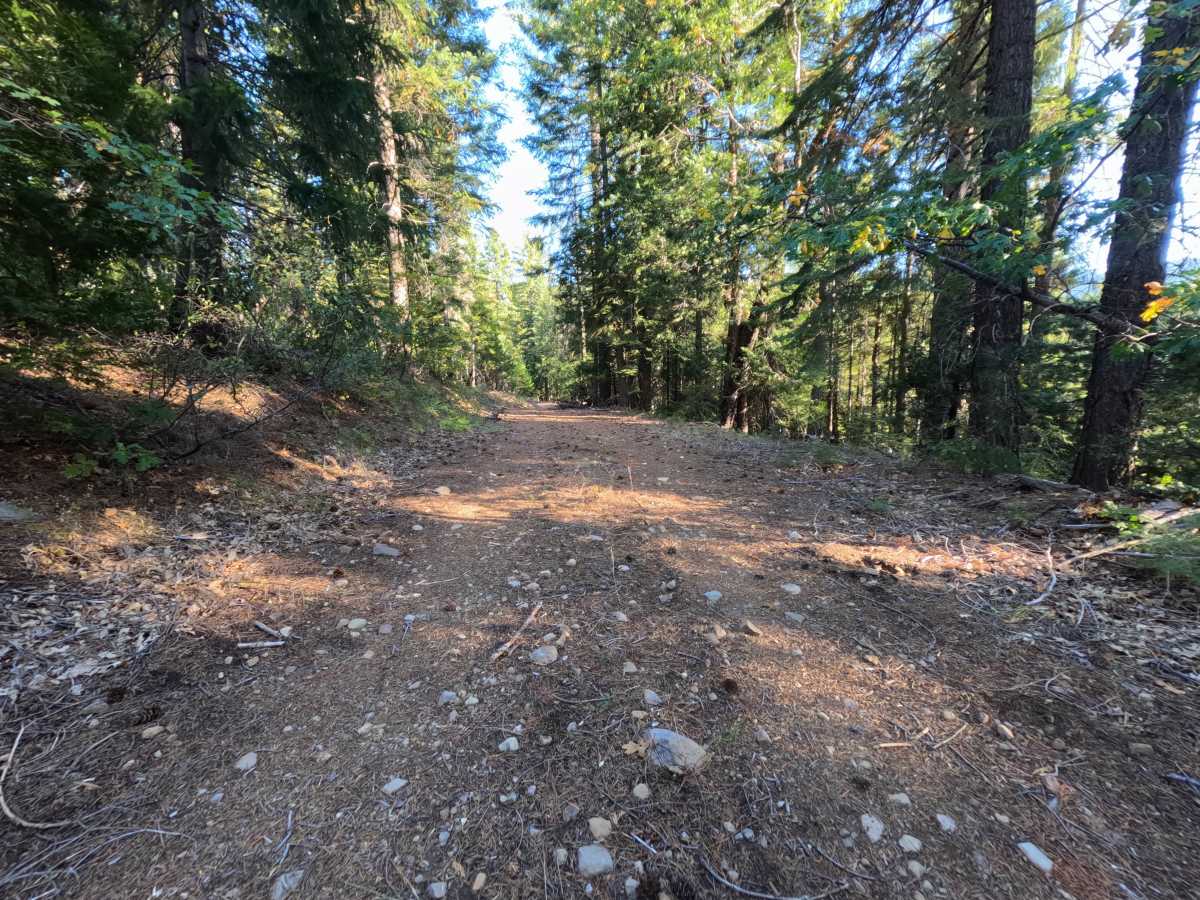
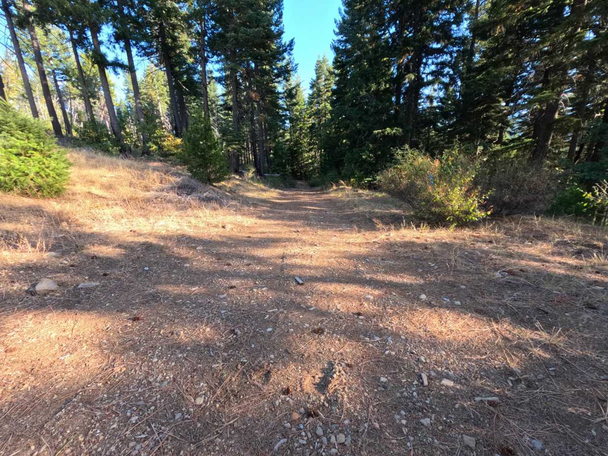
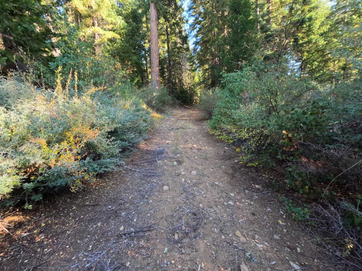
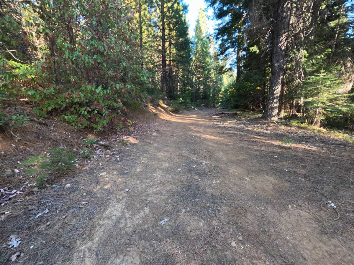
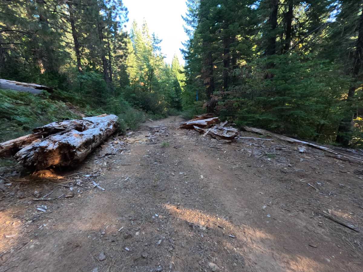
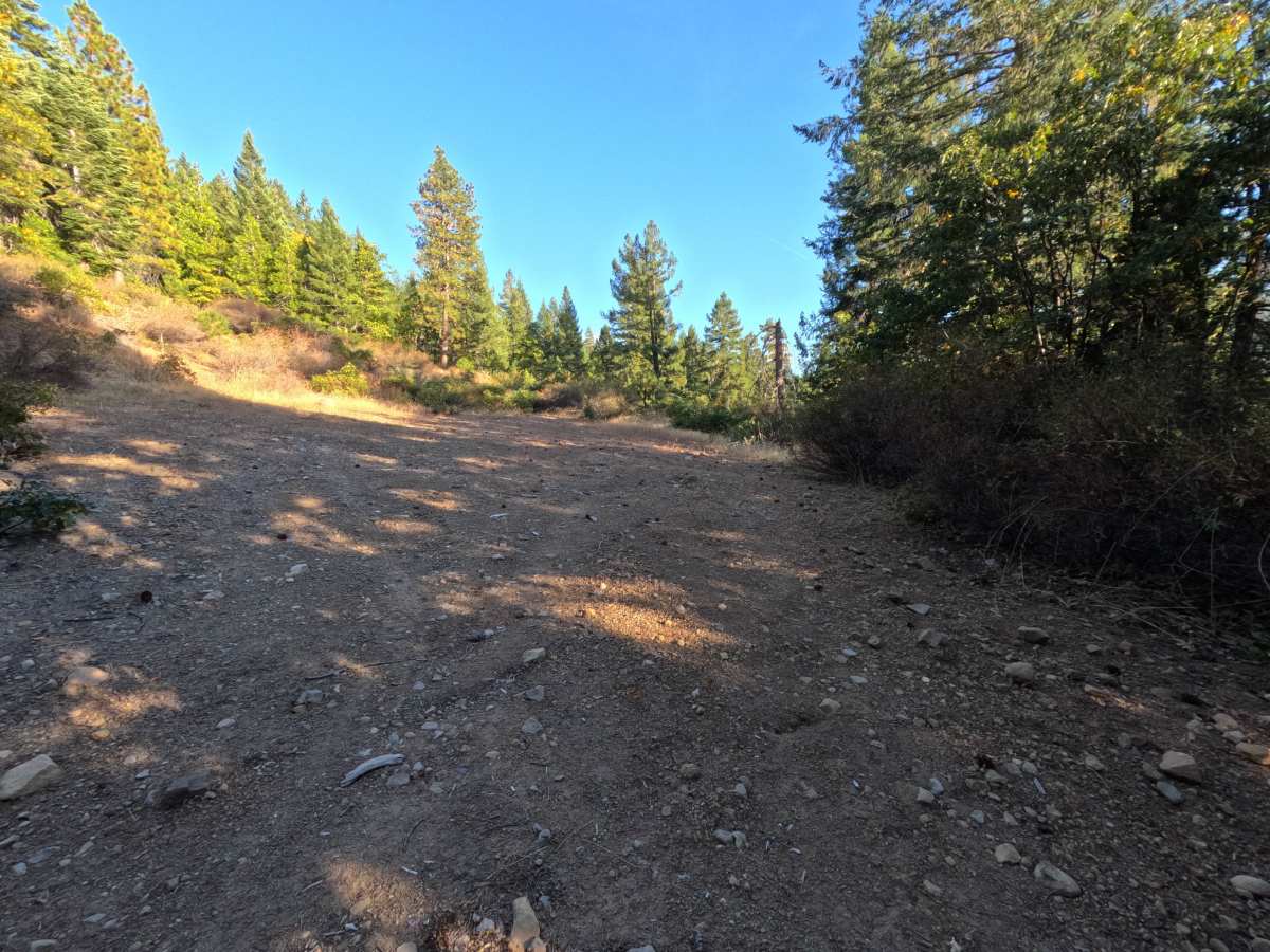
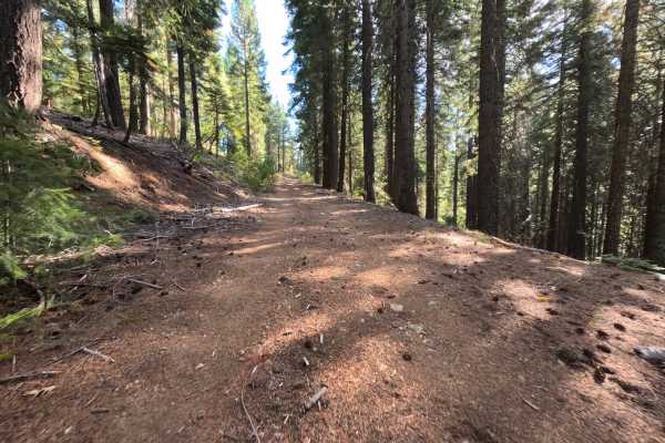
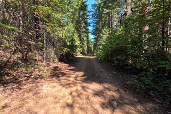
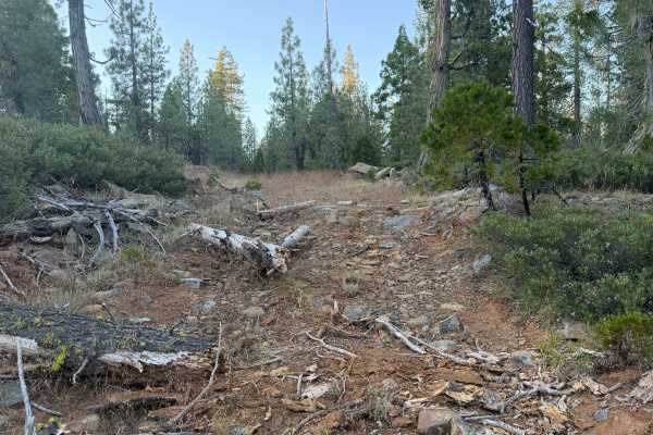
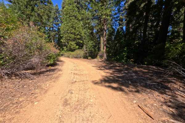
East Serpentine Spur (FS 24N84B) is a short out-and-back dirt spur off the East Serpentine Road (FS 24N84) in the Plumas National Forest, descending gently along the mountainside for roughly 1.3 miles. The route rolls through quiet, mixed forest with brushy shoulders and cut banks on the uphill side, and a few openings where the trees thin to reveal grassy slopes and forested ridges beyond. The surface is a wide, firm road of packed dirt and fine gravel with small loose stones scattered on top, roomy enough for comfortable single-vehicle travel throughout. Off a bend partway down, a small clearing offers a dispersed campsite for one vehicle. The spur ends at a broad, open gravel flat that serves as a second dispersed campsite, with plenty of room to turn around, though only one spot is level enough for a vehicle to camp. Summer and fall offer the best conditions.
Difficulty
A wide, smooth dirt and gravel road with a gentle downhill grade and no meaningful obstacles. Small loose stones, pine cones, and fallen twigs are scattered across the surface, and loose gravel collects along the edges in places. There are no ruts, rock obstacles, ledges, steep pitches, or water crossings anywhere along the route. Standard ground clearance is all that is needed.