Trail Overview
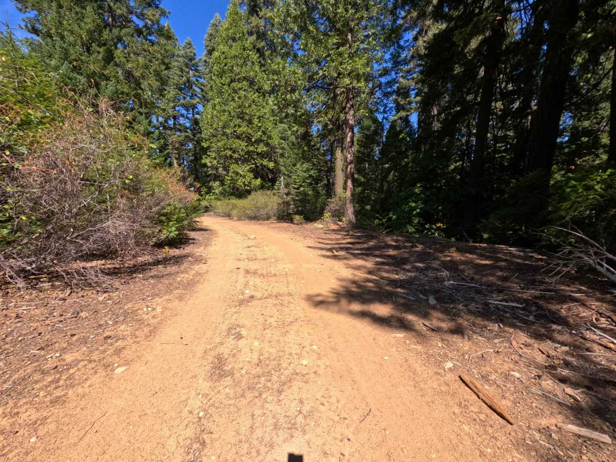
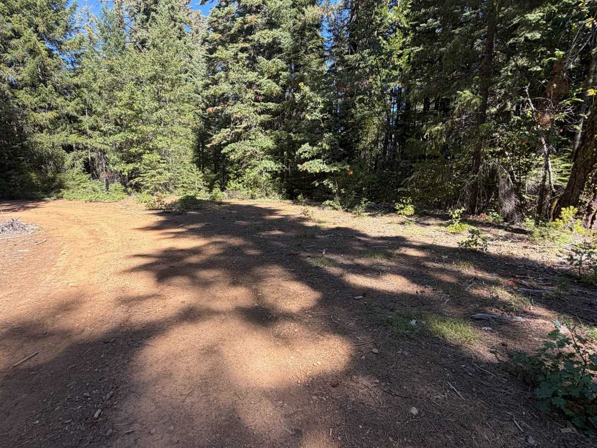
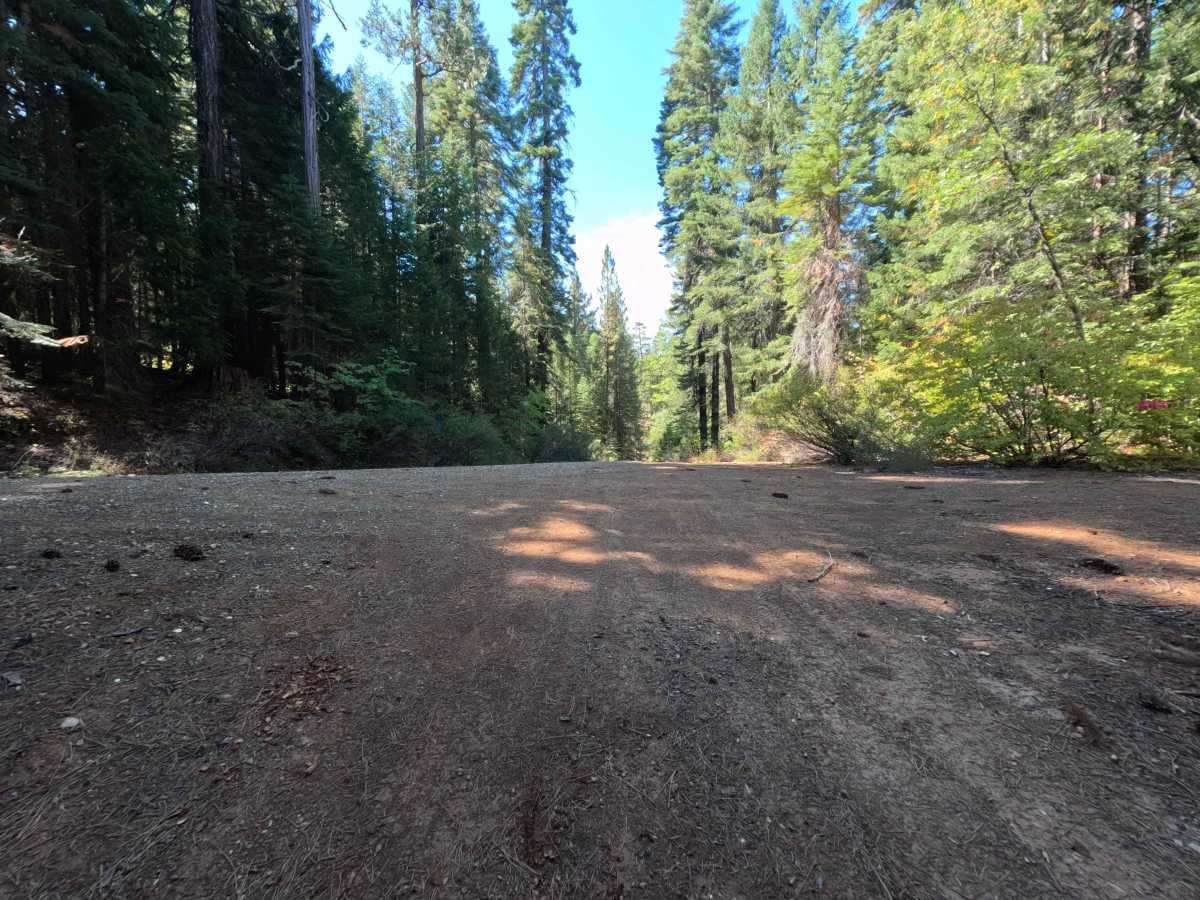
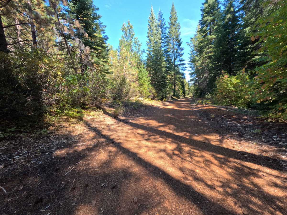
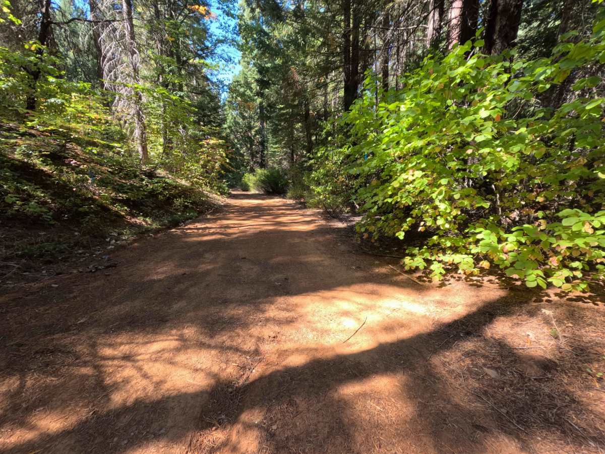
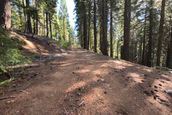
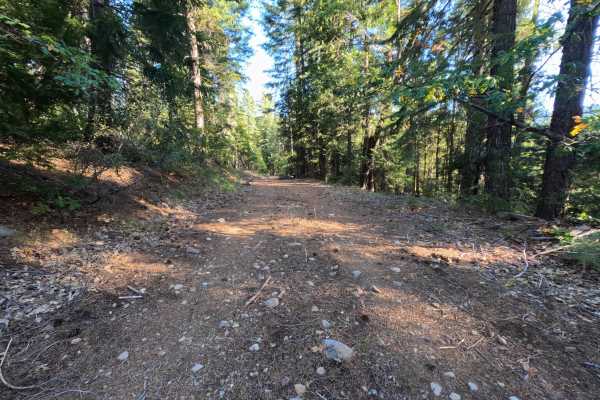
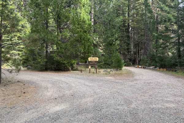
Beginning exactly where the previous Schneider Tie segment (FS 8M12) concludes, this continuation of the Schneider Tie (FS 24N69) functions as a highly useful connector road linking overlanders directly to Little Schneider Creek Road. Situated within the beautiful, shaded confines of the Plumas National Forest, the track weaves through a dense, mature coniferous woodland characterized by towering evergreens and a thick, thriving understory of vivid green brush. Although the route lacks formally designated hiking trailheads, this network of backwoods connectors is a popular thoroughfare for outdoor enthusiasts seeking prime dispersed camping spots. Notably, at approximately 0.4 miles into the drive, a secluded campsite large enough for a single vehicle sits nestled into a bend in the road. Because of this appealing woodland camping opportunity, drivers must stay constantly vigilant for pedestrians, pets, or dispersed campers utilizing the roadway on foot.
Difficulty
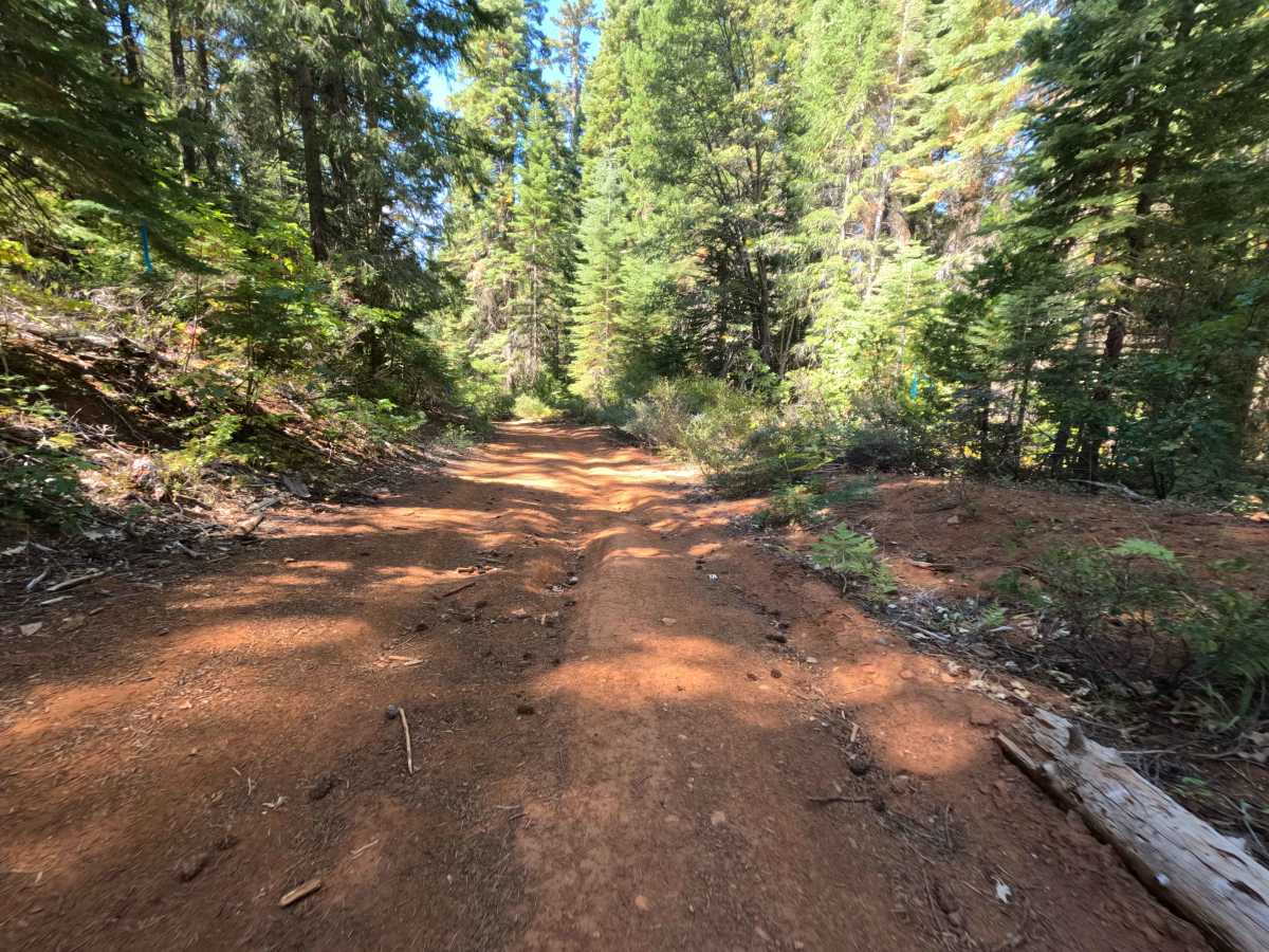
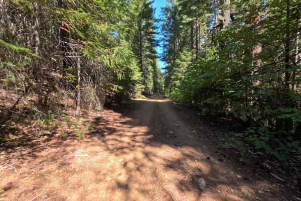
This secondary section of the Schneider Tie earns a mild difficulty rating of 2, offering a relatively gentle and straightforward drive before terminating at the final intersection. The surface consists of a narrow, single-track dirt path interspersed with loose, rocky sections and a distinctively vibrant red soil composition. While generally well-maintained and in good overall condition, drivers should anticipate occasionally brushing up against encroaching vegetation and navigating through intermittent, shallow rutting.