Trail Overview
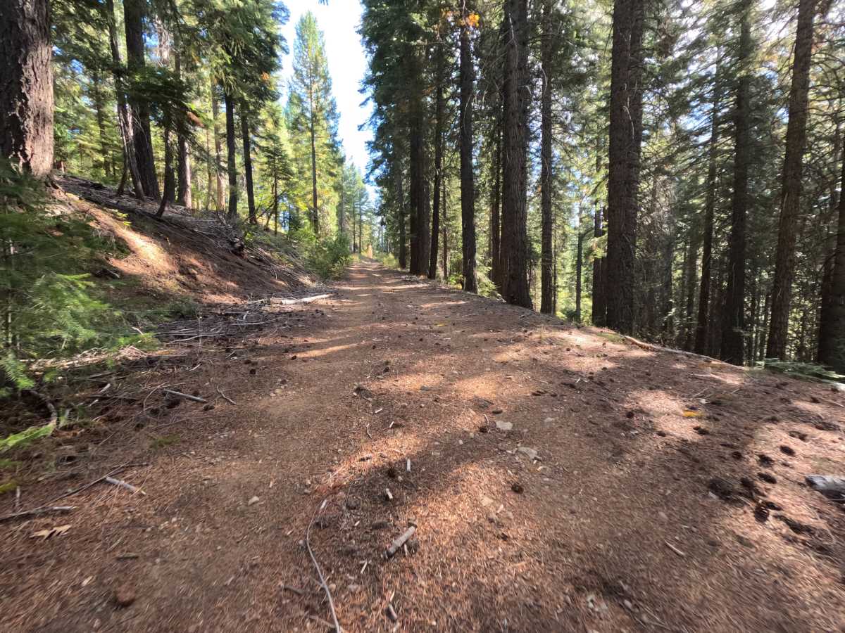
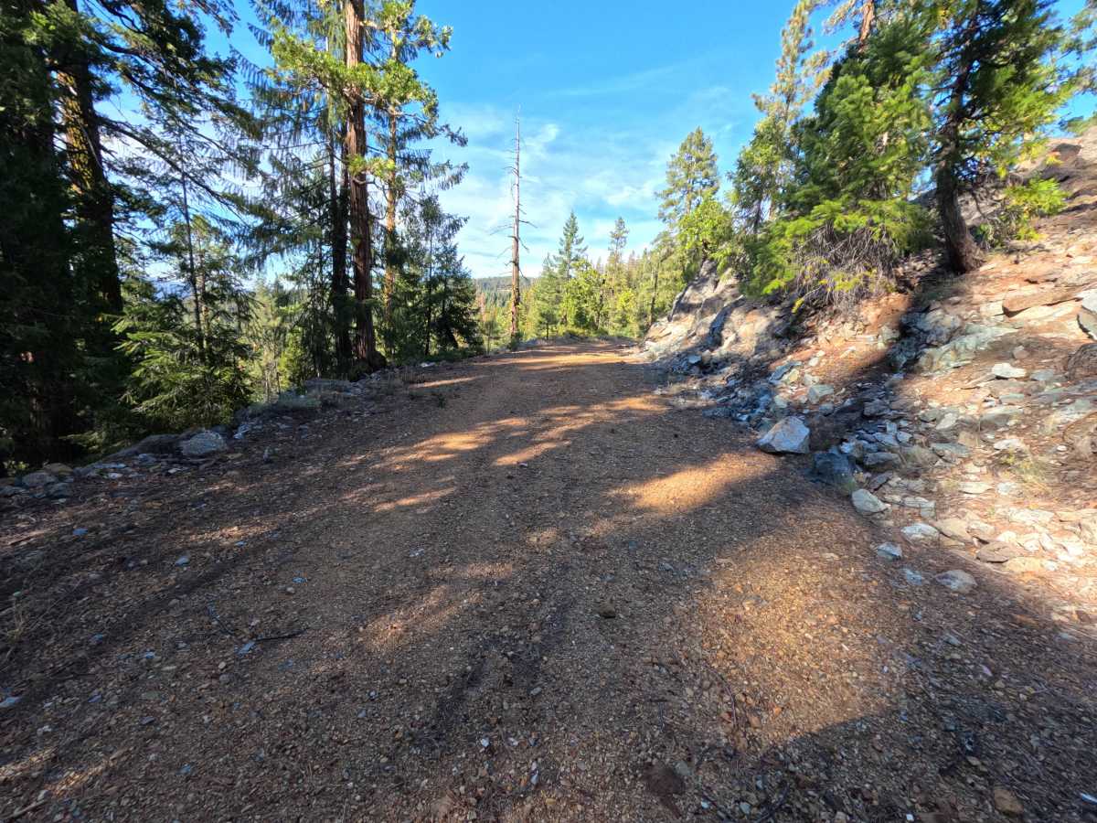
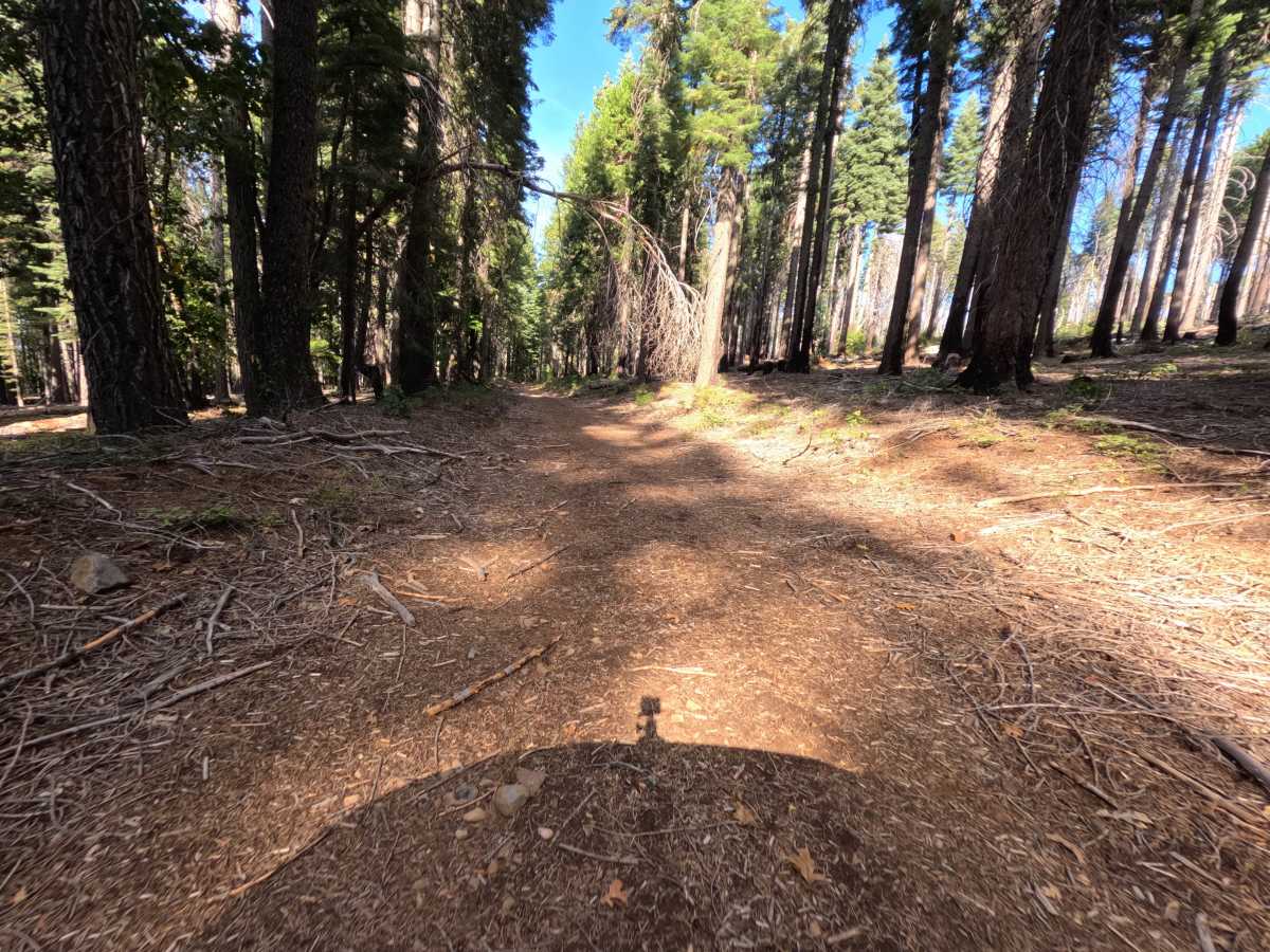
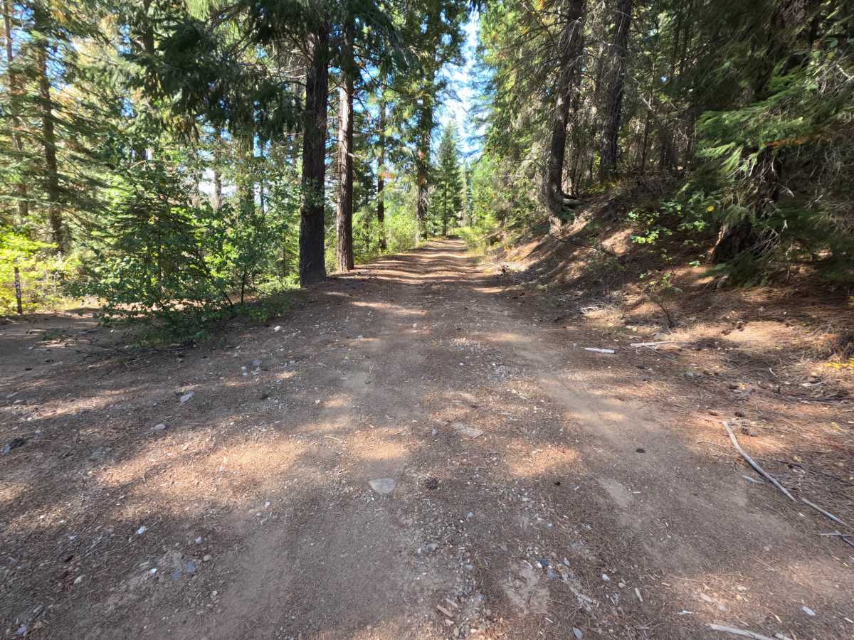
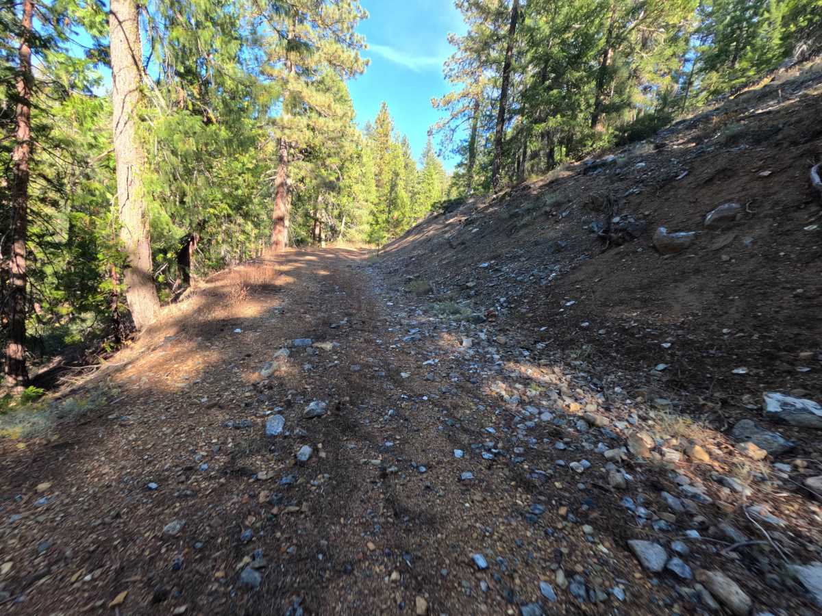
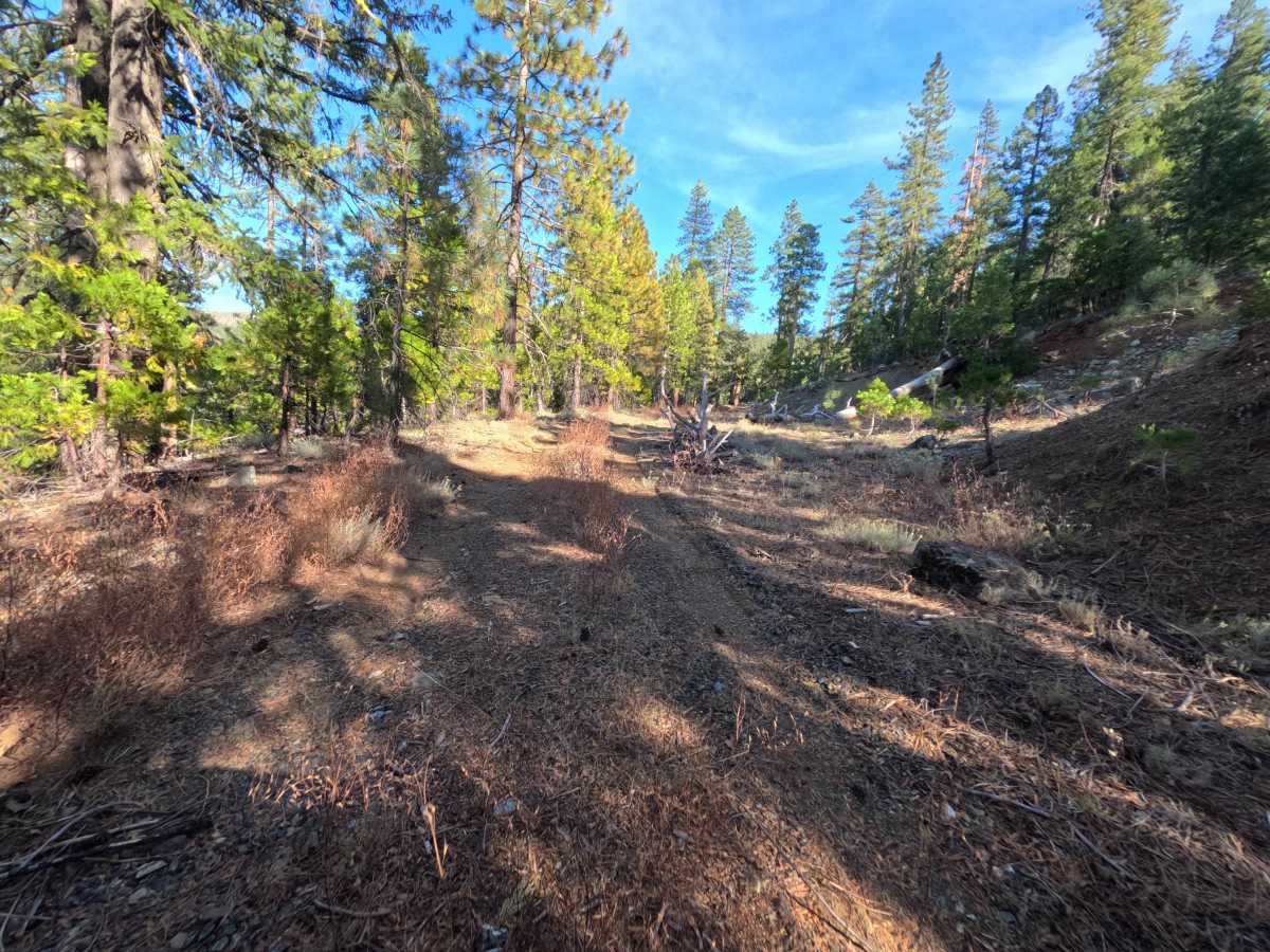
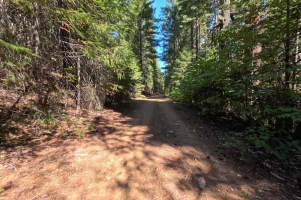
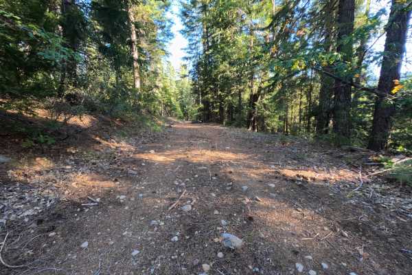
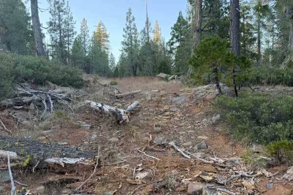
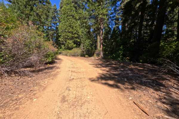
East Serpentine (FS 24N84) is a rugged route in the Plumas National Forest, climbing steadily for roughly 2.6 miles up a steep mountainside. The road begins as a narrow natural-surface track through quiet forest, then pushes through a short stretch where dense brush crowds both sides and brushes against passing vehicles. Higher up, the route is benched into the slope with a rocky cut bank on the uphill side and the ground falling away on the other, and the tread is littered with loose, angular chunks of bluish-green serpentine rock that give the road its name. Openings along the upper section look out across forested ridges and canyons. Past the brushy stretch, a flat clearing offers a dispersed campsite with room for one or two vehicles. The route ends high on the mountainside with room to turn around. Summer and fall offer the driest conditions.
Difficulty
A steep, sustained climb over loose and embedded angular rock, a narrow section along the mountainside where a large boulder sits in the tread, and erosion channels cut into the dirt by runoff. The boulder leaves limited room between the cut bank and the downhill edge, so careful wheel placement and a slow pace are essential, and wider vehicles have very little margin. Brush crowds the corridor in one stretch. There are no water crossings or tall rock steps, but high ground clearance is required.