Trail Overview
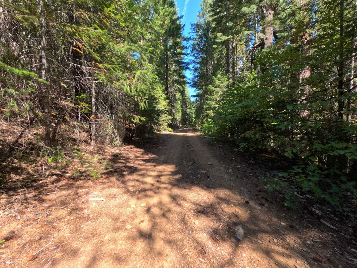
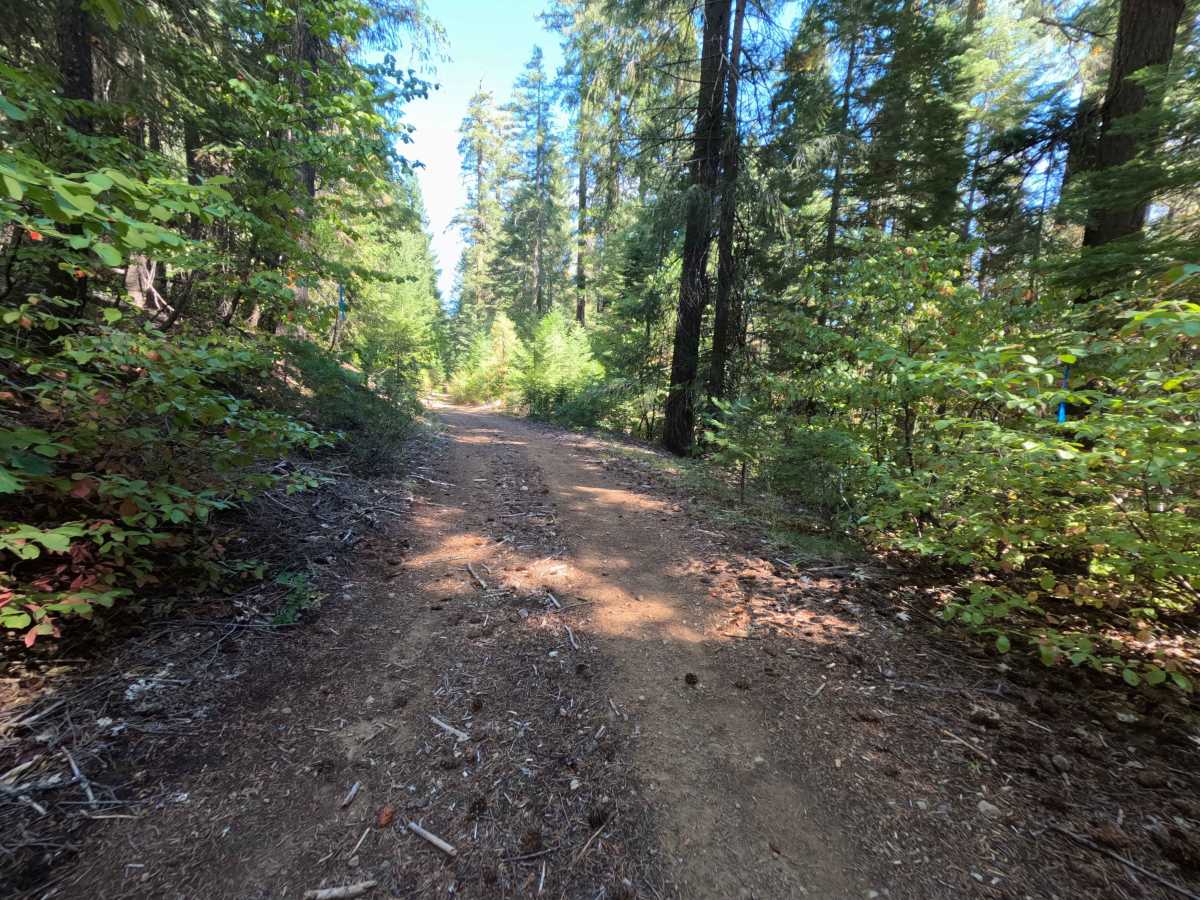
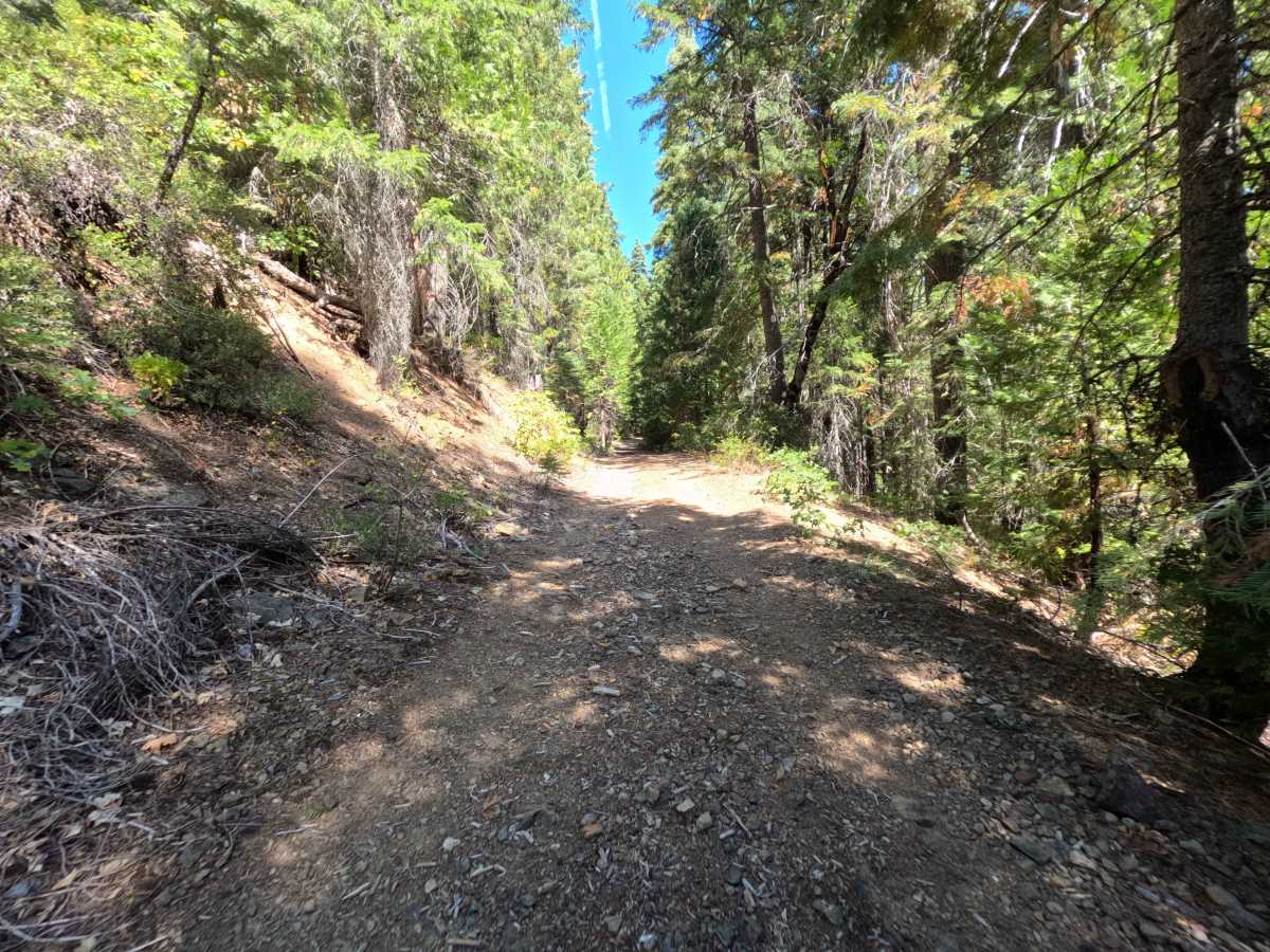
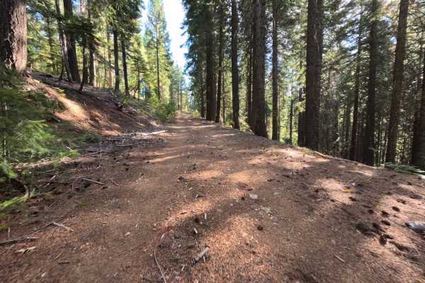
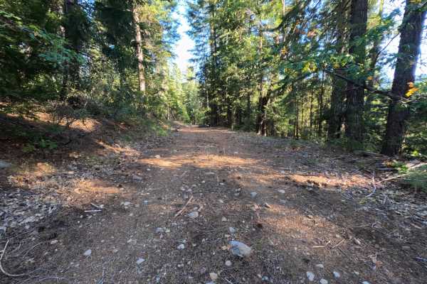
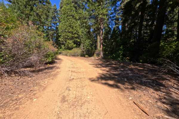
Originating from Slate Creek Road, the Schneider Tie (FS 8M12) serves as a vital connecting route that links backcountry explorers to another segment of the broader Schneider Tie trail network. Nestled deep within the Plumas National Forest, the surrounding woodland environment is characterized by a beautifully lush, mature canopy of towering coniferous pine trees and a vibrant, thick understory of healthy green brush. While there are no officially designated hiking trailheads located directly on this specific track, the interconnected nature of these forest roads means they are frequently utilized by outdoor enthusiasts seeking remote dispersed camping spots, foraging grounds, or backcountry hiking access. Because of this mixed recreational use, drivers traveling through this scenic corridor must remain continually observant for pedestrians, wandering wildlife, and potential campers enjoying the serene, shaded woodland on foot.
Difficulty
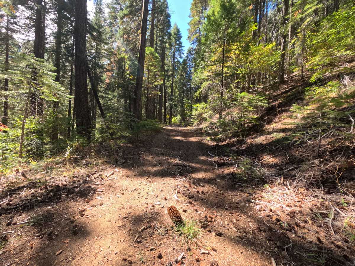
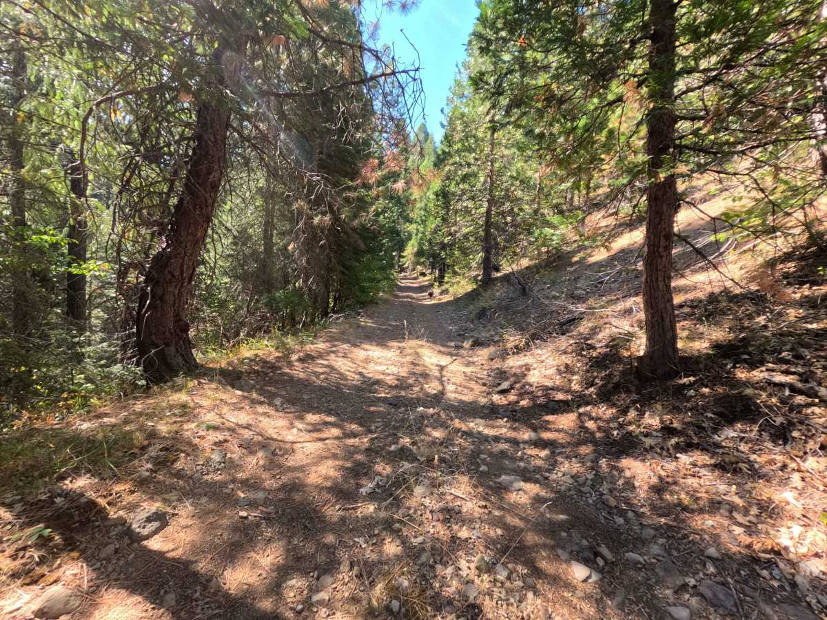
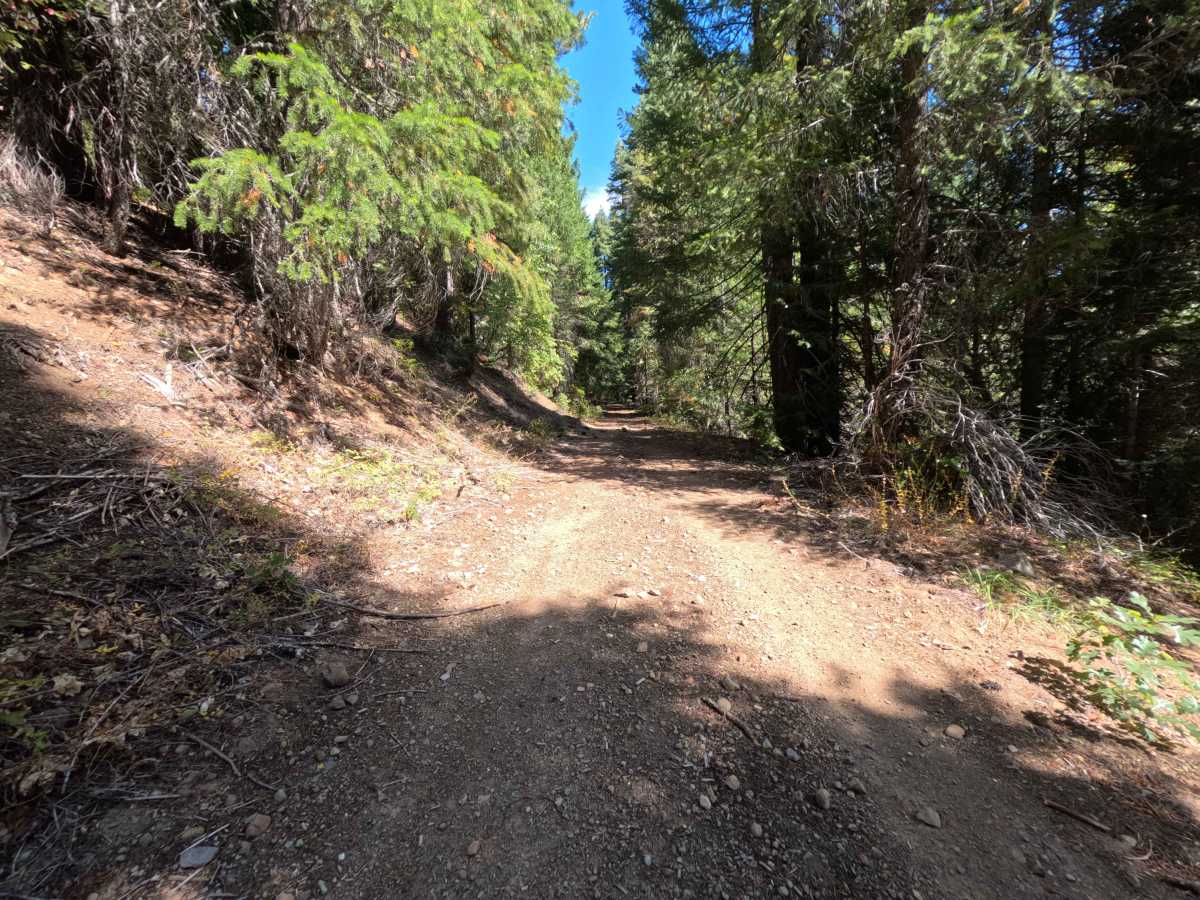
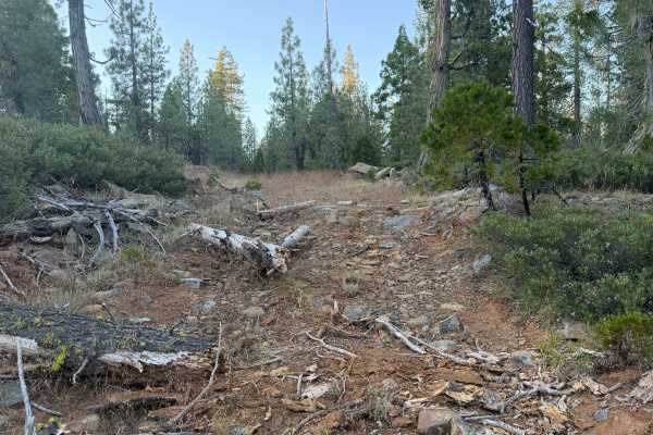
This shaded woodland connector earns a moderate difficulty rating of 3, presenting a few distinct challenges for travelers. The surface is primarily a single-track dirt pathway mixed with embedded rocks, loose gravel, and a slippery seasonal coating of dry pine needles. One end of the trail, which has recently been shifted slightly down the main road, features a notably rugged, off-camber climb. Deeper into the route, drivers must navigate a tight, rocky hairpin turn where careful tire placement is absolutely required to avoid side-walling on jagged stones. Beyond this hairpin, the route smooths out considerably, offering pleasant, heavily shaded straightaways. When evaluating the travel metrics, a significant discrepancy appears; the digital track log recorded an impossibly fast elapsed time of just over four minutes, whereas the written field notes accurately cite a twelve-minute journey. Visitors should absolutely anticipate the longer twelve-minute timeframe to safely conquer the off-camber sections, maneuver through the rocky hairpin, and comfortably cruise the smoother stretches.