Trail Overview
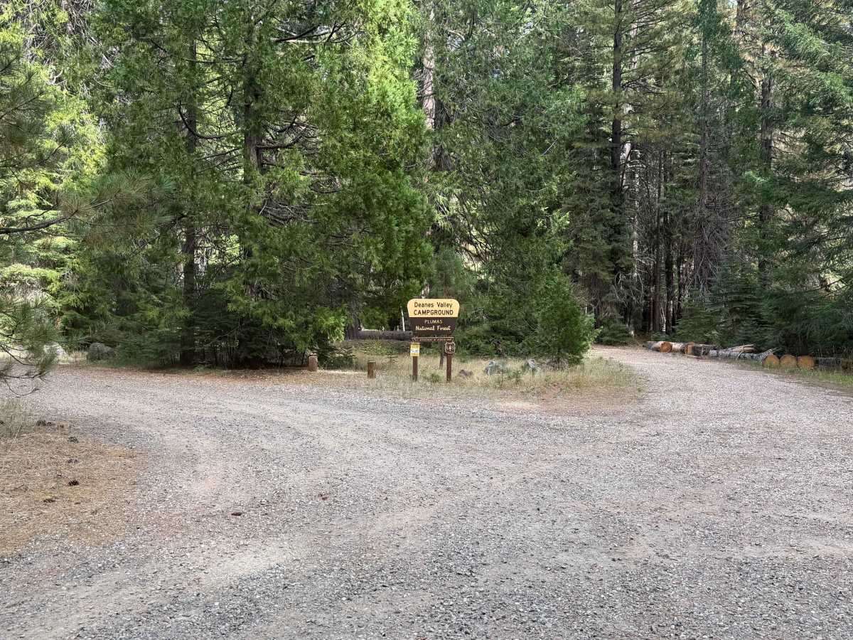
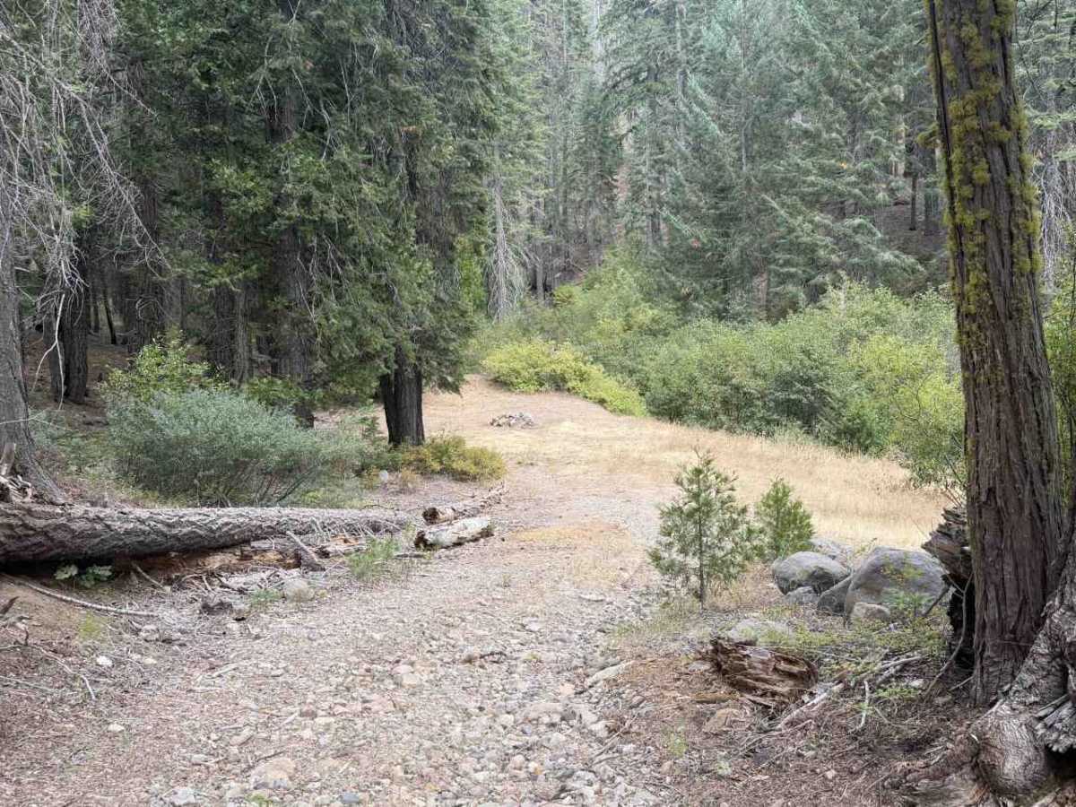
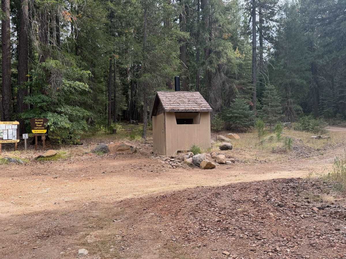
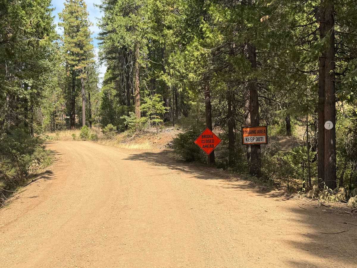
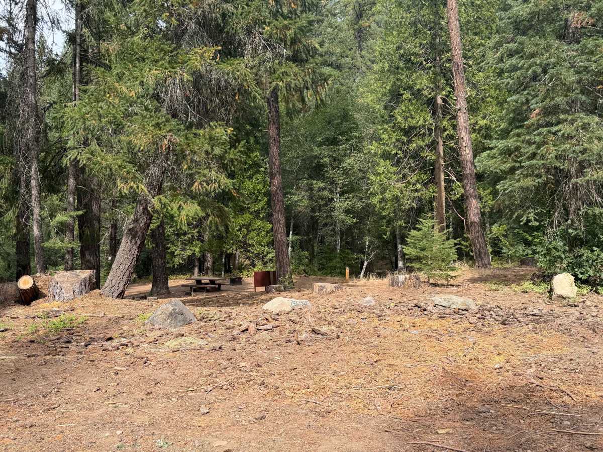
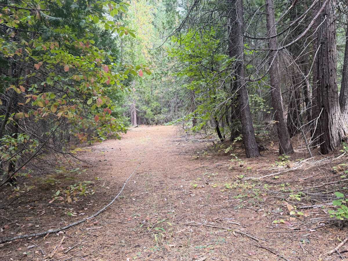
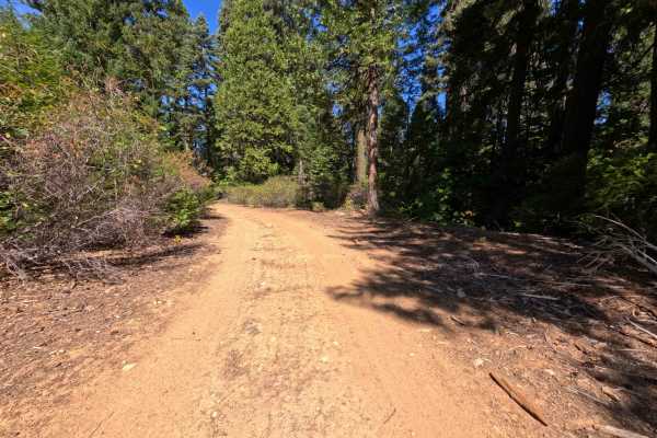
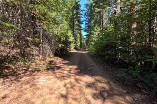
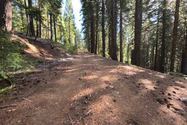
Serving as a vital connector route that provides throughput deeper into the woodland, Slate Creek Road (FS 24N28) is currently accessed via the intersection of Mill Creek (FS 24N20) due to a bridge closure and active logging on the Bucks Lake Road side. The trail traverses a lush, dense coniferous forest managed by the Plumas National Forest, offering beautiful canopy views and shaded, seasonal creek access. This route is predominantly a wide, two-lane hard-packed dirt and gravel forest service connector, but its narrow, persistently rocky ridgeline section elevates it to a moderate difficulty rating of 3. Along this tighter stretch, drivers will encounter uneven, maneuverable dirt ruts and small to medium rocky obstacles embedded in the surface. The public frequently utilizes this scenic road to reach established recreation sites like Rock Creek Campground and Deanes Valley Campground, as well as multiple dispersed camping areas featuring stone fire rings. Additionally, this road provides critical access for backpackers heading to the Pacific Crest Trail and the Middle Fork Feather River trailheads. Because these popular hiking trails intersect the region, off-road drivers should stay vigilant and be aware of the potential for hikers walking along or crossing the road.
Difficulty
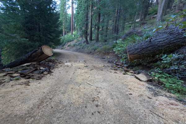
This route carries a moderate difficulty rating of 3. While it is predominantly a wide, two-lane, hard-packed dirt and gravel forest service connector, a narrow, persistently rocky ridgeline section elevates the challenge. Along this tighter stretch, drivers will encounter uneven, maneuverable dirt ruts and small to medium rocky obstacles embedded in the surface. Navigating this scenic route requires an attentive but approachable driving style. The wide, hard-packed gravel sections are easily manageable, but the surface transitions near the ridgeline into a narrower, persistently rocky path with uneven dirt ruts and embedded stones that demand deliberate tire placement. Expect to carefully steer around occasional larger rocks and maneuverable washouts that interrupt the otherwise smooth dirt. Generalize the route by maintaining a steady, cautious pace through the rocky stretches, regardless of which direction the trail is traveled. When comparing the recorded trip metrics, the field notes document a lengthy journey taking nearly two hours to complete. In contrast, the associated GPX file appears heavily truncated, capturing only a partial geographic distance and an impossibly brief elapsed time of just under twenty-seven minutes. Travelers should plan for the full two-hour duration to safely navigate the entire route. Keep a close watch for oncoming traffic around tight bends and near the various camping spurs branching into the lush forest.