Trail Overview
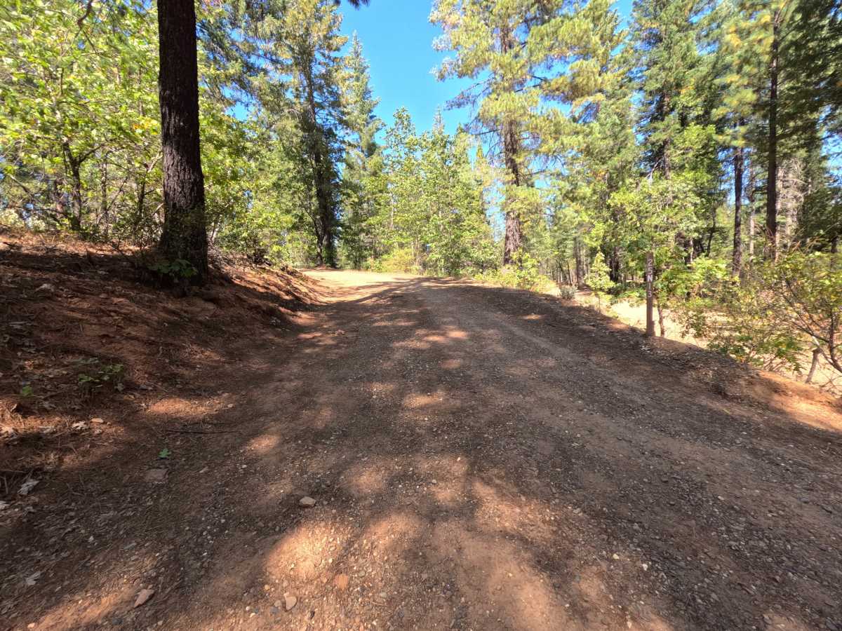
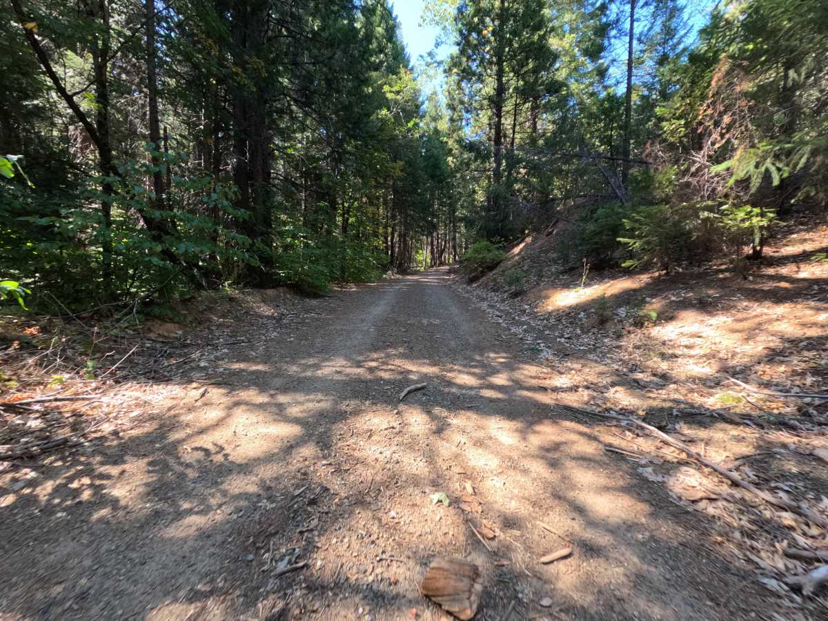
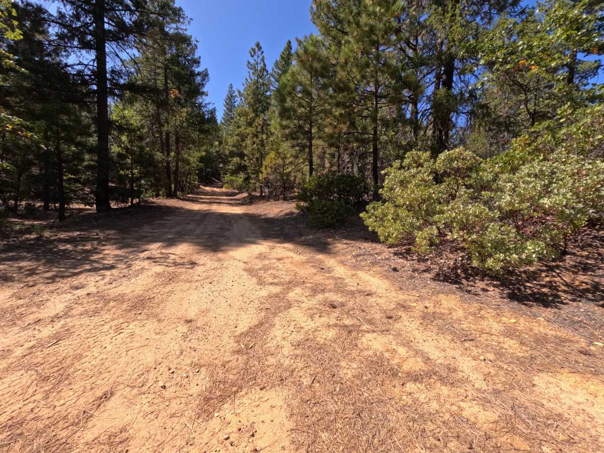
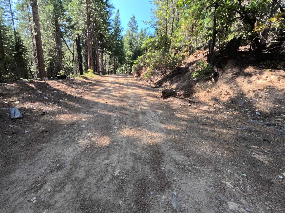
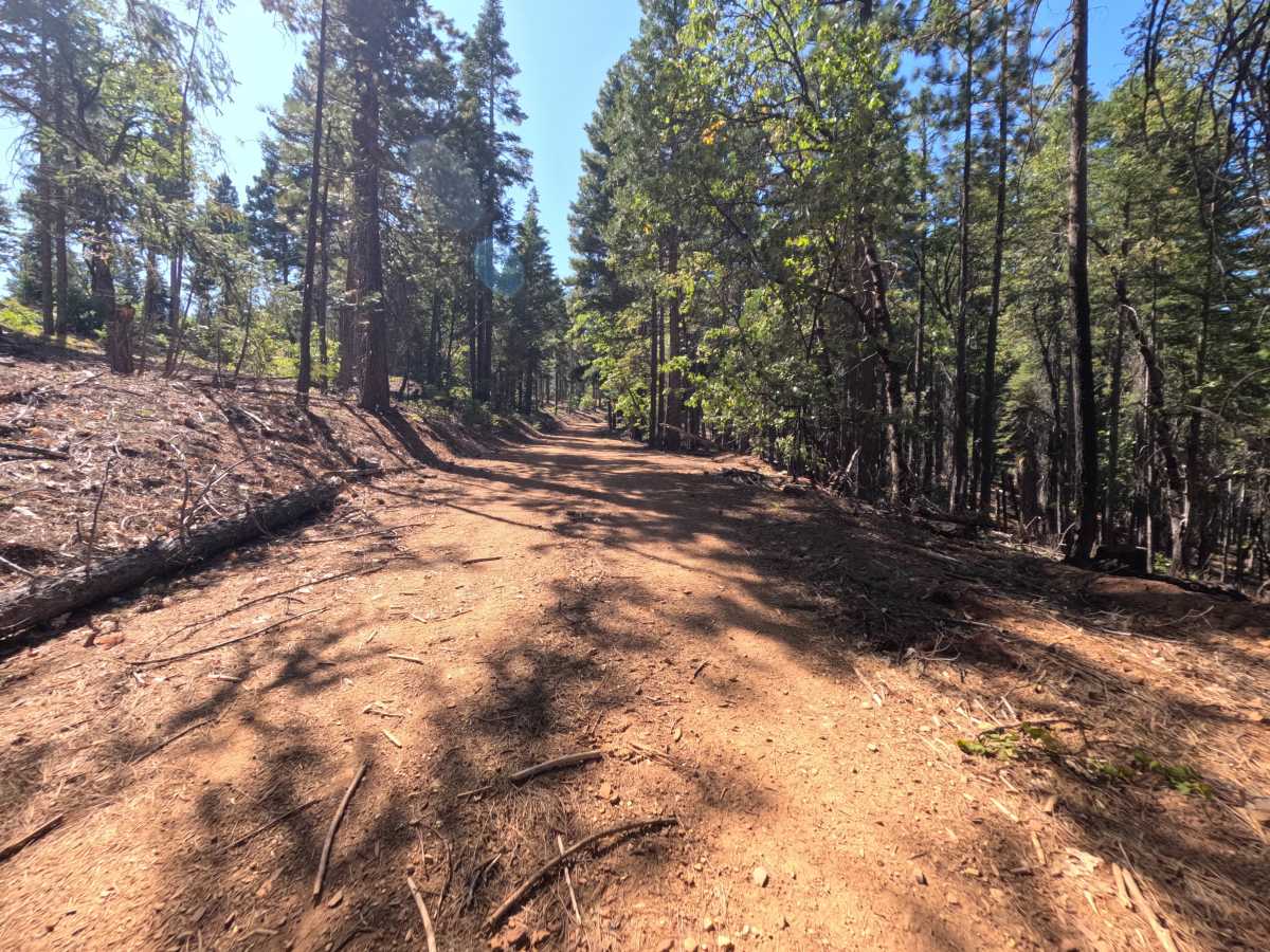
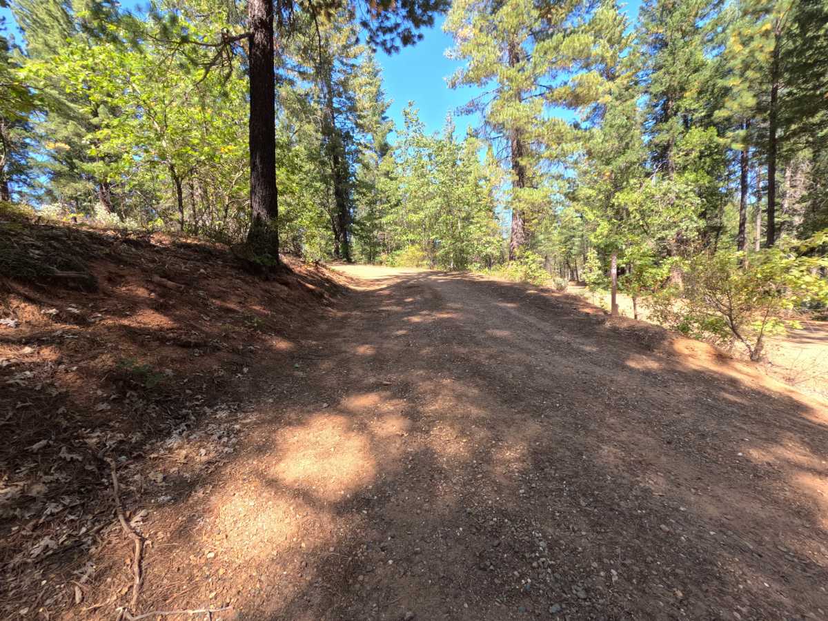
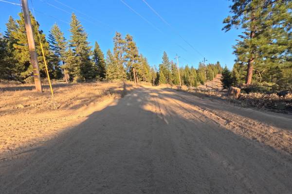
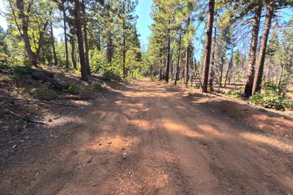
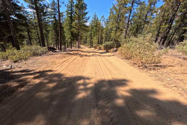
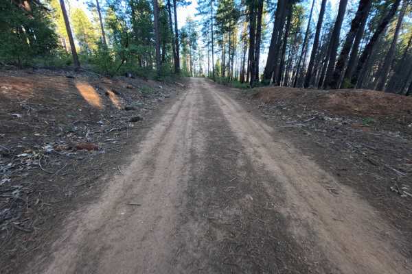
Blackhawk Loop (FS 25N13) is a quiet dirt connector that follows the ridgeback above the Feather River country in the Plumas National Forest, linking the Blackhawk Spur with a wide bend where two more spur roads branch off. The route climbs at a gentle, steady grade through a mostly green, unburned forest of tall ponderosa pine, fir, cedar, and black oak, with manzanita and young oaks crowding the shoulders and a thick layer of needles and cones softening the edges. A few stretches pass old fire scars where blackened trunks stand among the surviving trees, and cut banks rise on the uphill side in places. The surface is packed red dirt with fine gravel, wide enough for comfortable single-vehicle travel, and generally smooth. Two flat, open clearings along the ridge serve as dispersed campsites with room for one or two vehicles each, one of them right at an intersection. There are no overlooks or developed sites. Summer and fall offer the best conditions.
Difficulty
Rated a 1 because this is a smooth, gently climbing dirt road with no meaningful obstacles. The tread is firm packed dirt with a scattering of small stones, pine needles, and cones, and loose gravel collects along the edges in places. There are no ruts, rocks, ledges, steep pitches, or water crossings anywhere along the route. Standard ground clearance is all that is needed at a relaxed pace.