Trail Overview
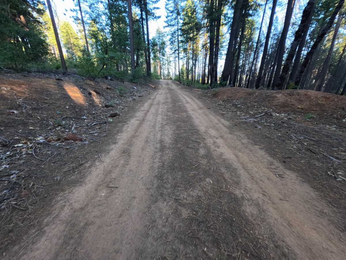
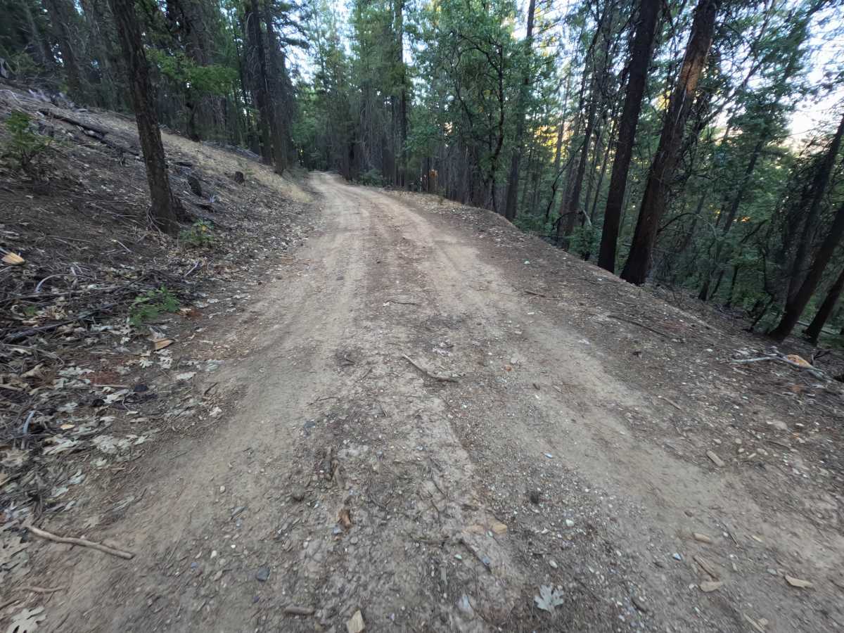
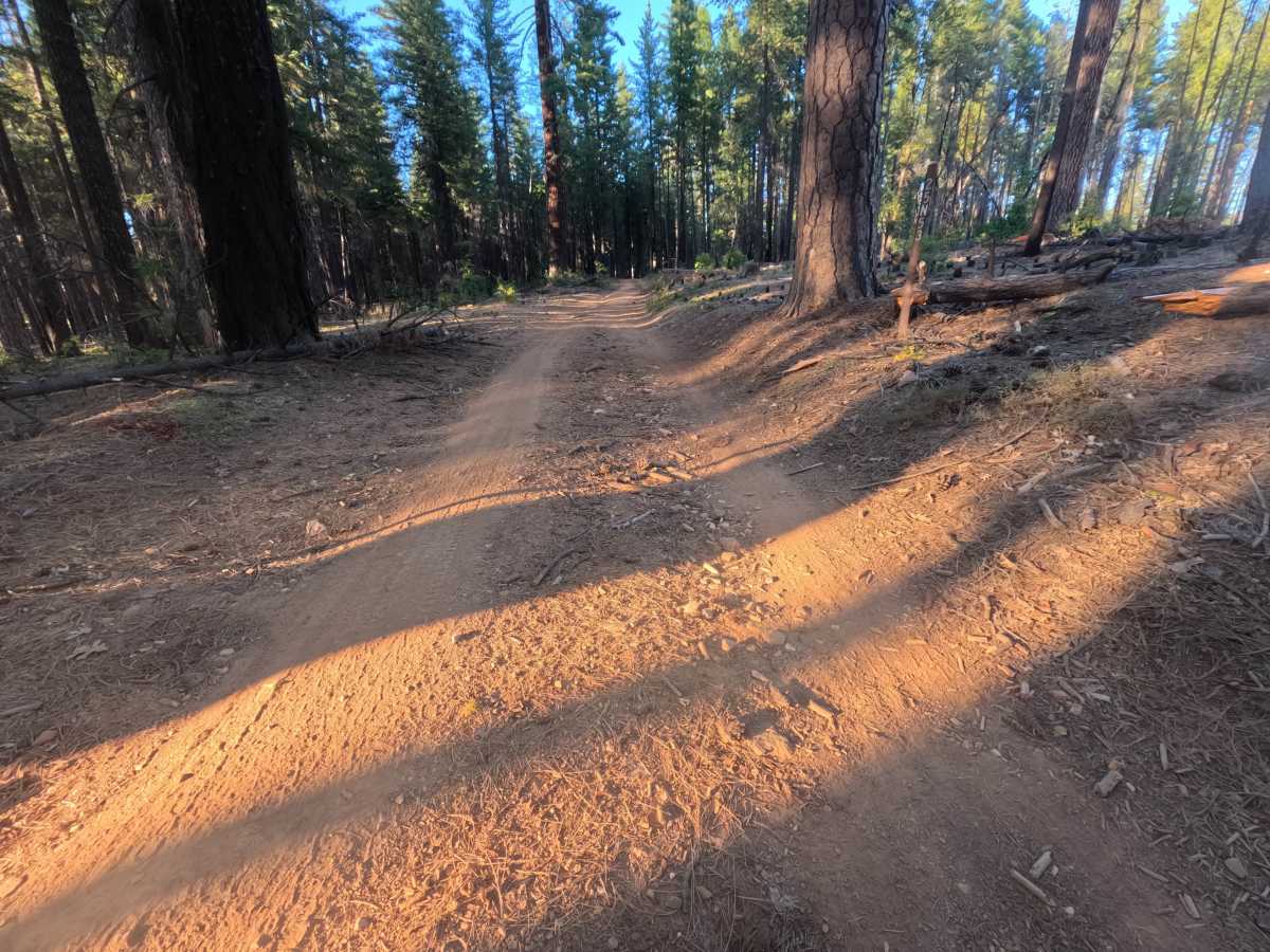
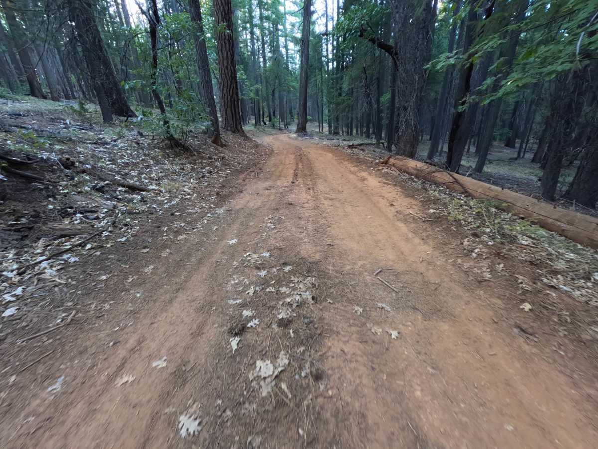
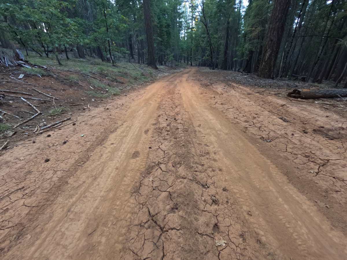
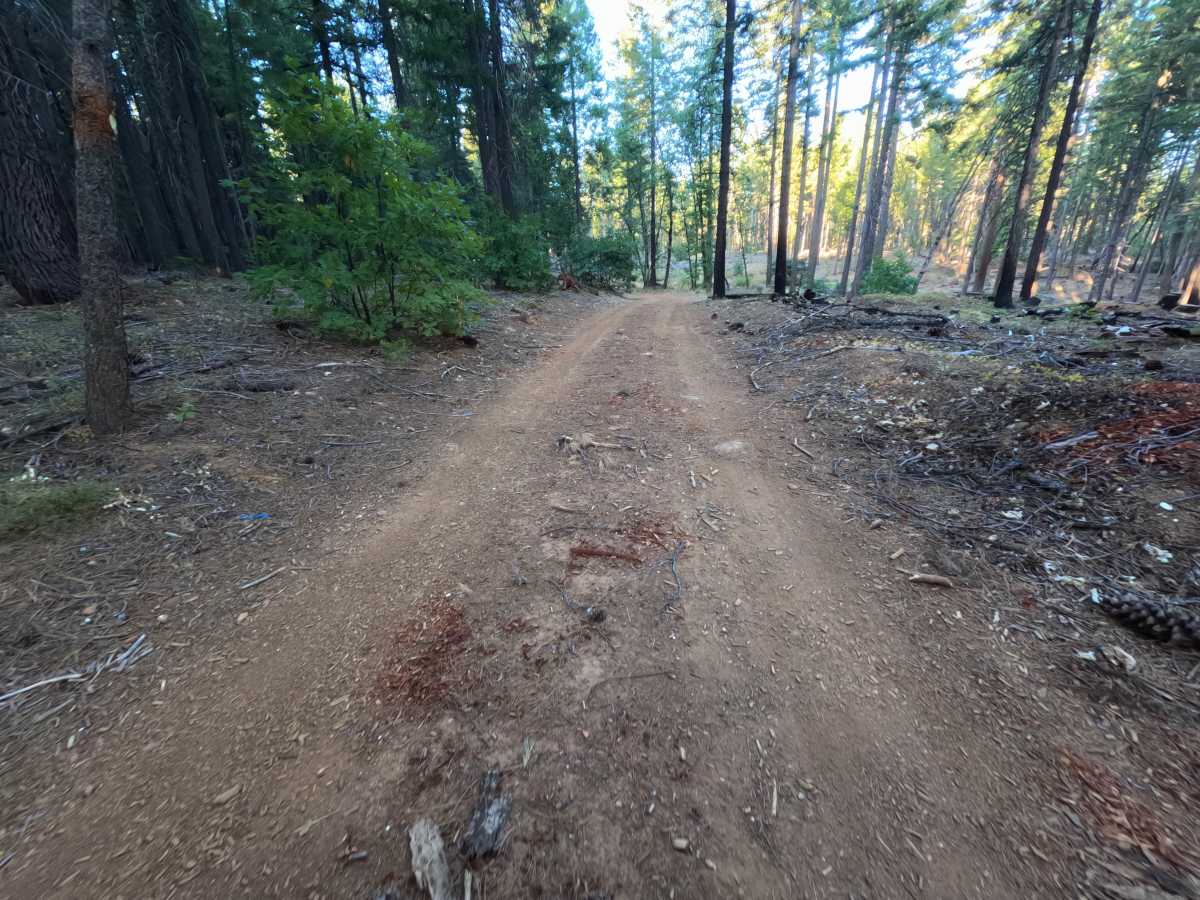
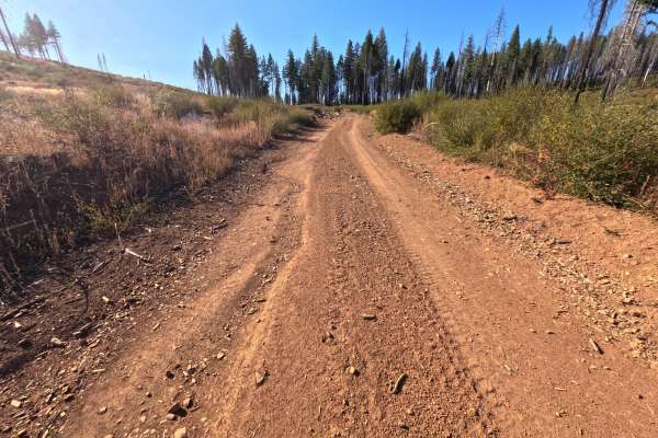
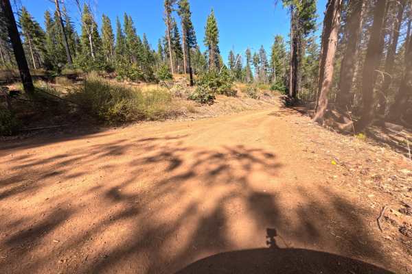
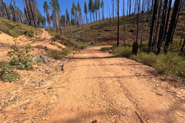
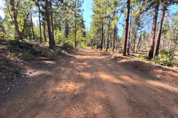
Sink (FS 25N53) is a well-traveled dirt connector in the Plumas National Forest, linking Butterfly Valley Twain Road with another spur along the ridgeline above the Feather River country. A small brown post marked 25N53 stands at the roadside near one end. The route winds along wooded hillsides through tall ponderosa pine, cedar, and black oak, with a few fire-blackened trunks left from past burns and a carpet of oak leaves and needles along the shoulders. In places, the road is benched into the slope, with a cut bank on the uphill side and the forest falling away on the other. The surface is red dirt with scattered loose stones, short stretches of washboard, and sections of hardened tire ruts that crack as they dry. A flat, dispersed campsite near one end has room for two or three vehicles. There are no overlooks or developed sites along the route. Summer and fall offer the driest conditions.
Difficulty
Rated a 2 for a bumpy ride over short stretches of washboard, scattered loose stones, and sections of old tire ruts baked hard into the red dirt. The clay surface is firm when dry but turns soft and slick after rain, when the ruts can deepen quickly. Grades are moderate and the road stays wide enough for a single vehicle, with no ledges, rock obstacles, or water crossings, which keeps the rating from going higher. Moderate ground clearance is enough.