Trail Overview
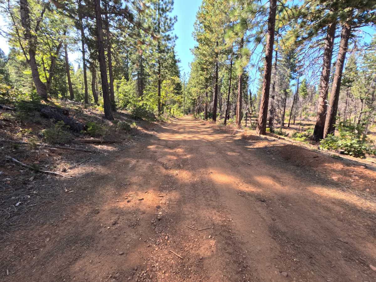
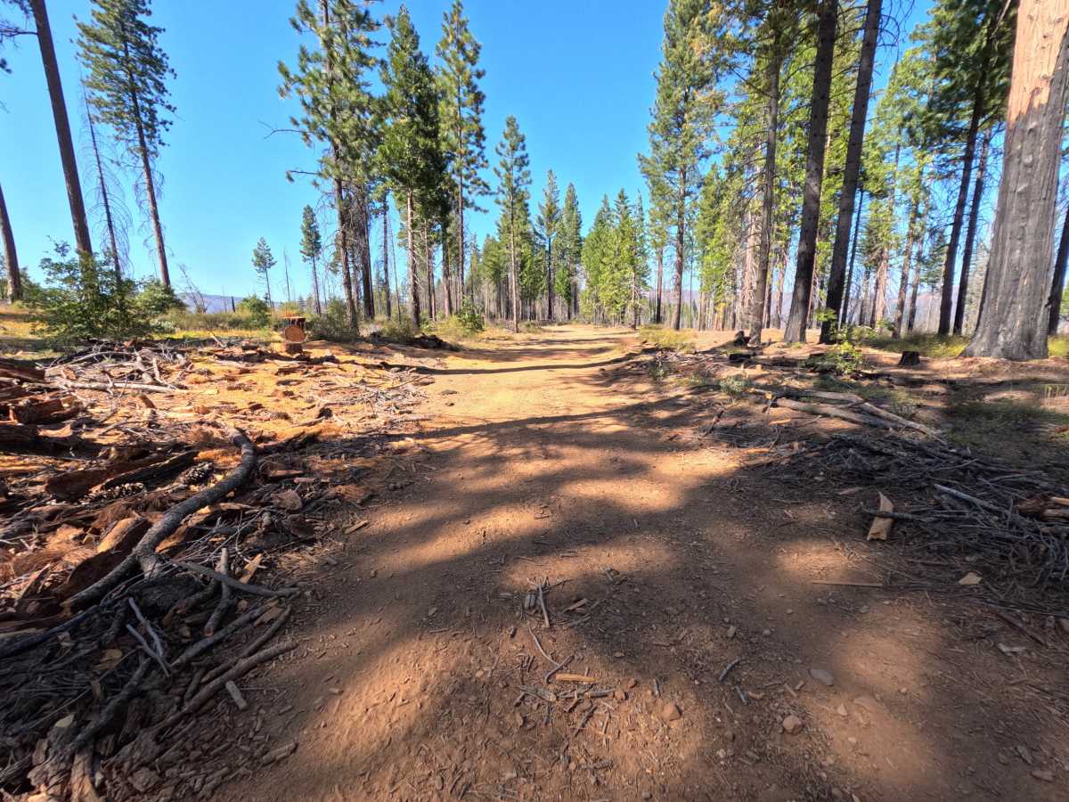
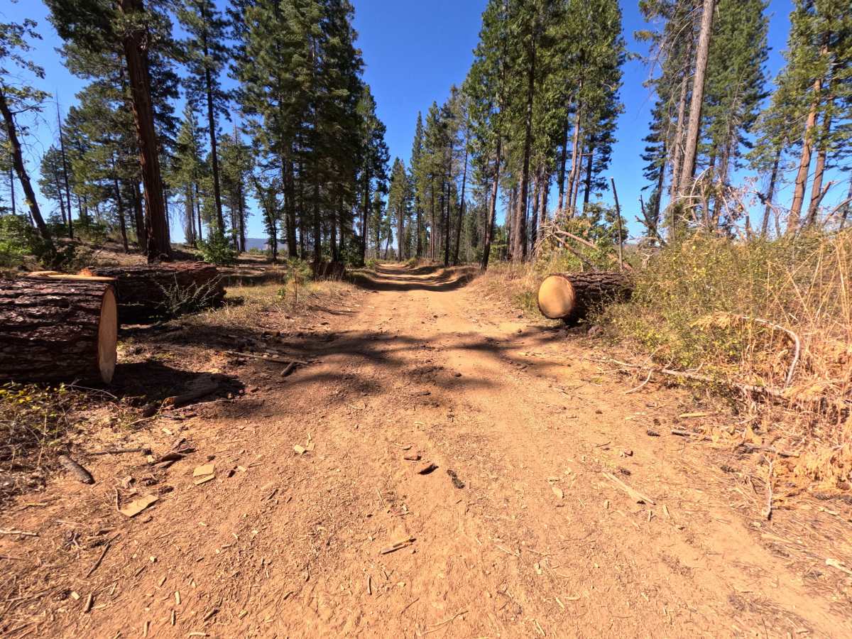
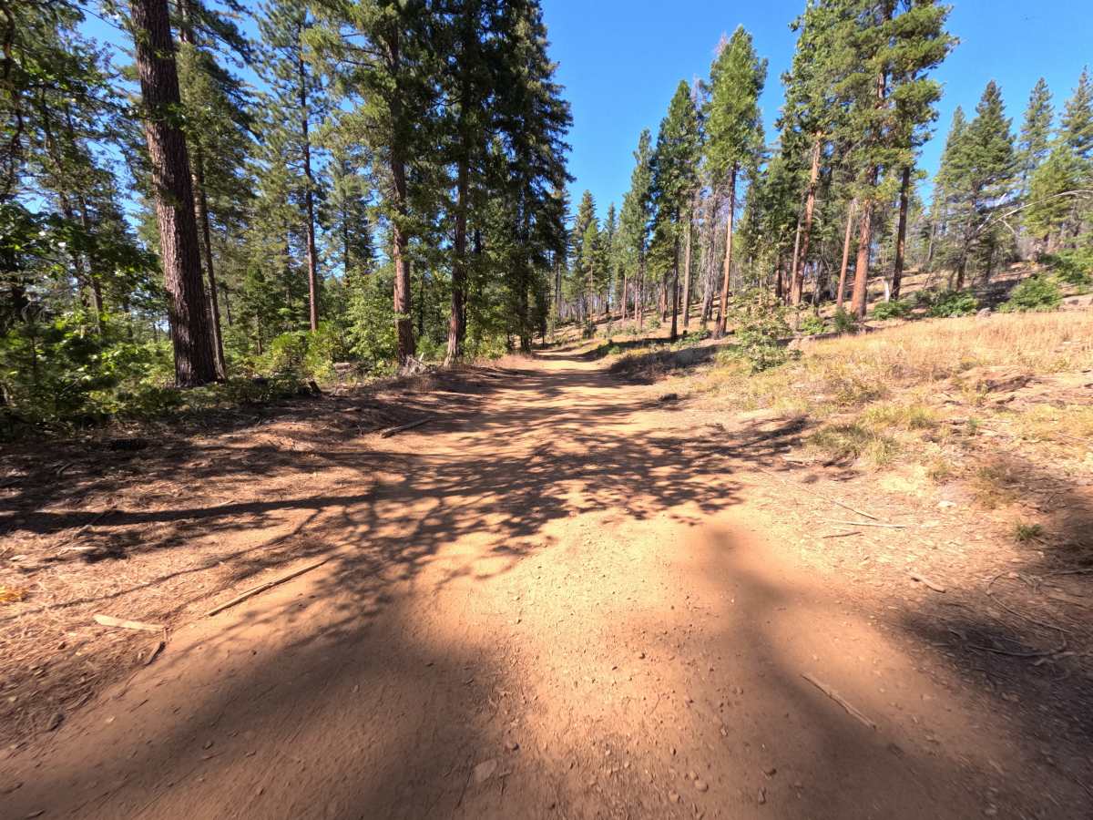
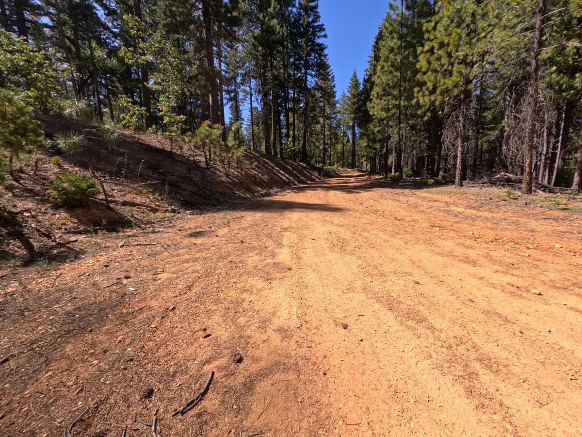
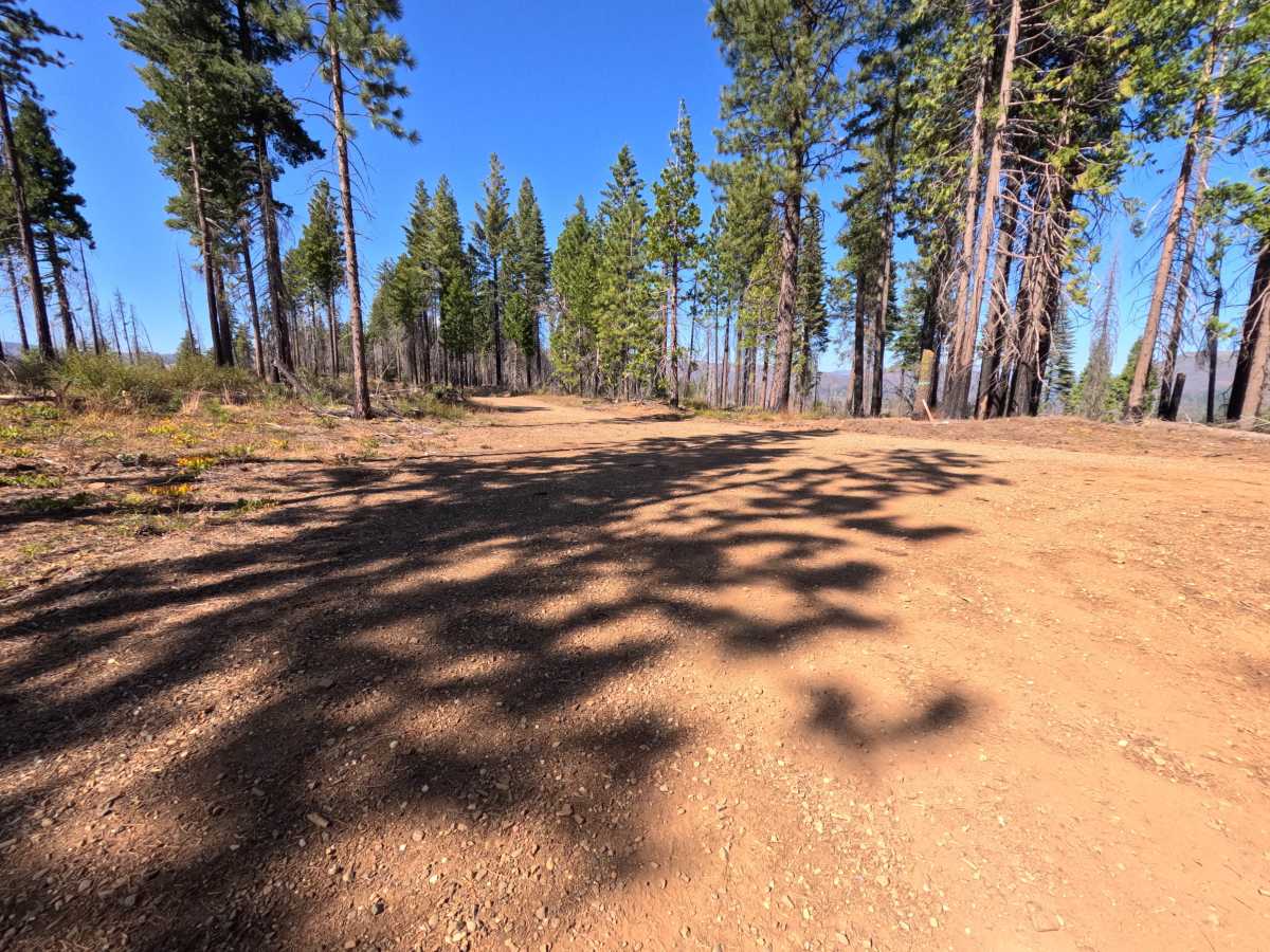
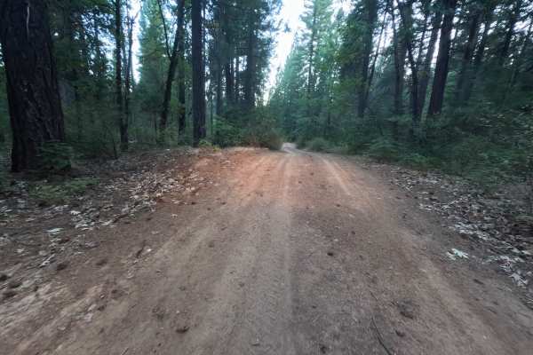
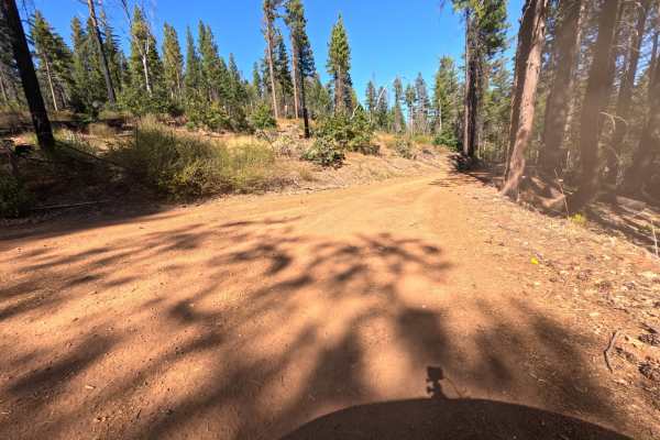
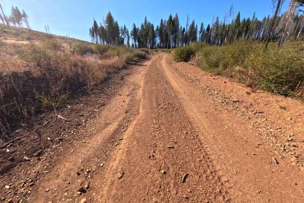
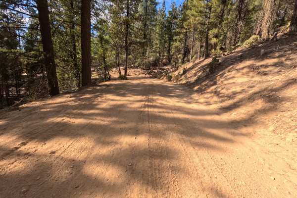
Blackhawk Spur (FS 25N12C) is a short, hard-packed dirt connector in the Plumas National Forest, linking the Blackhawk Loop (FS 25N13) with the Blackhawk road (FS 25N12) along the ridge above the Feather River country. The route travels through a mix of tall, unburned ponderosa pine, fir, and cedar and open stretches still recovering from the 2021 Dixie Fire, where blackened trunks and snags stand above manzanita, grasses, and young conifers. Where the burned trees thin out, the road opens to glimpses of distant mountain ridges on the horizon. The surface is firm red dirt with fine gravel and a scattering of small stones, wide enough for comfortable single-vehicle travel, with a mild, steady grade and no rough sections. Two spots along the way offer room to camp, including a small pullout for one vehicle and a wider flat with space for two or three. There are no overlooks or developed sites. Summer and fall offer the best conditions.
Difficulty
Rated a 1 because this is a smooth, firm dirt road with a gentle grade and no meaningful obstacles. Small stones, wood chips, and the occasional twig sit on the surface, and fine gravel collects along the edges in places. There are no ruts, rocks, ledges, steep pitches, or water crossings anywhere along the route. Standard ground clearance is all that is needed at a relaxed pace.