Trail Overview
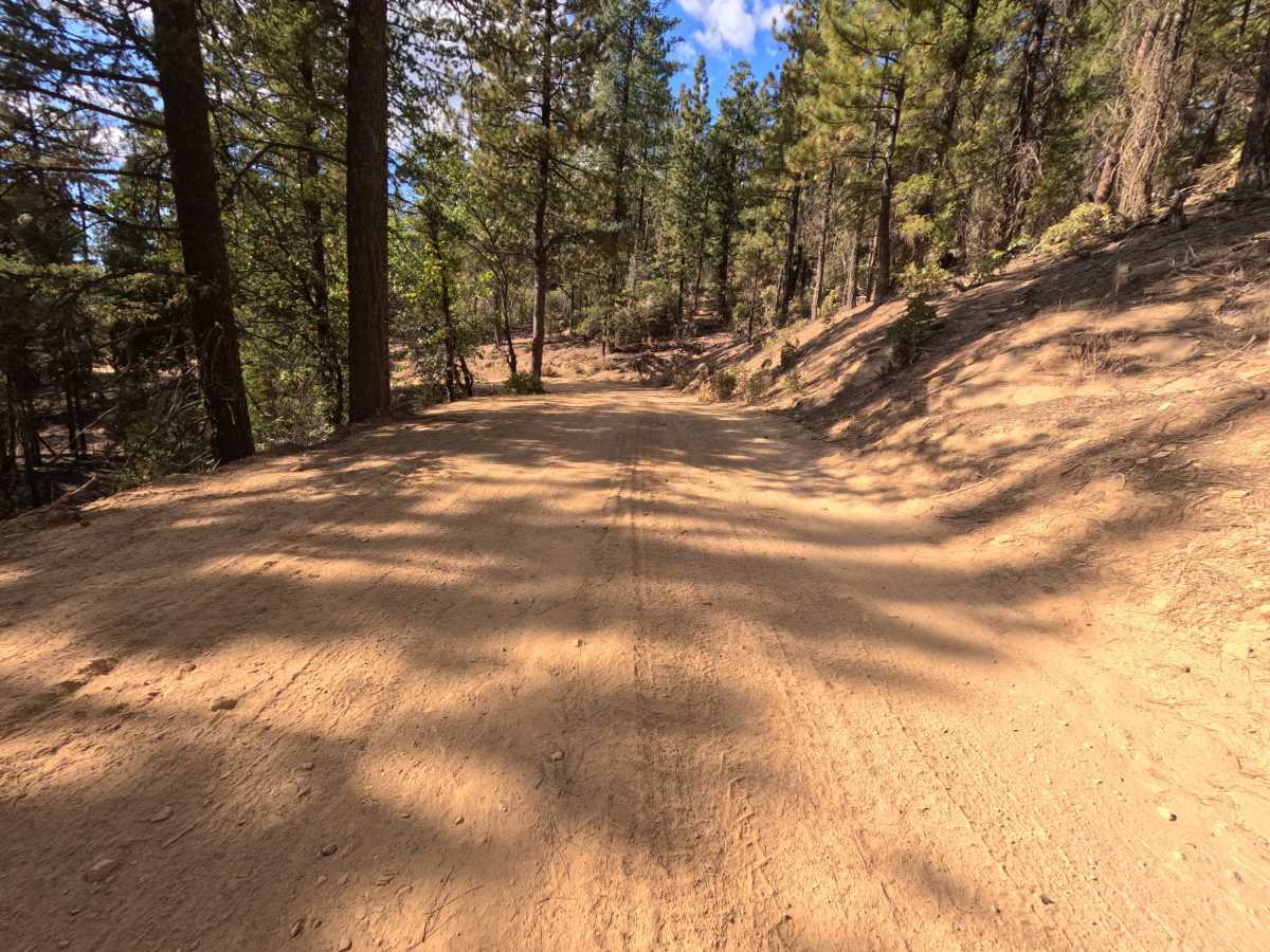
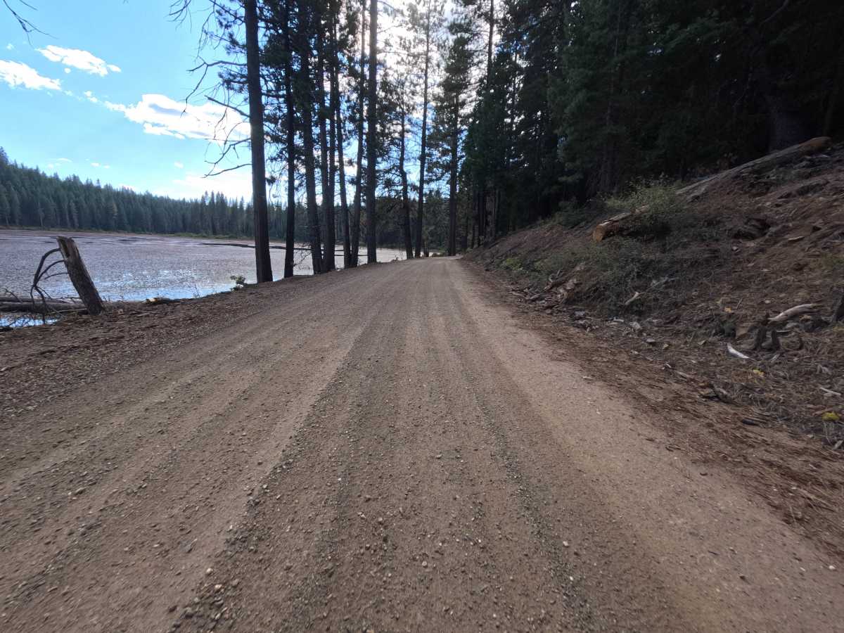
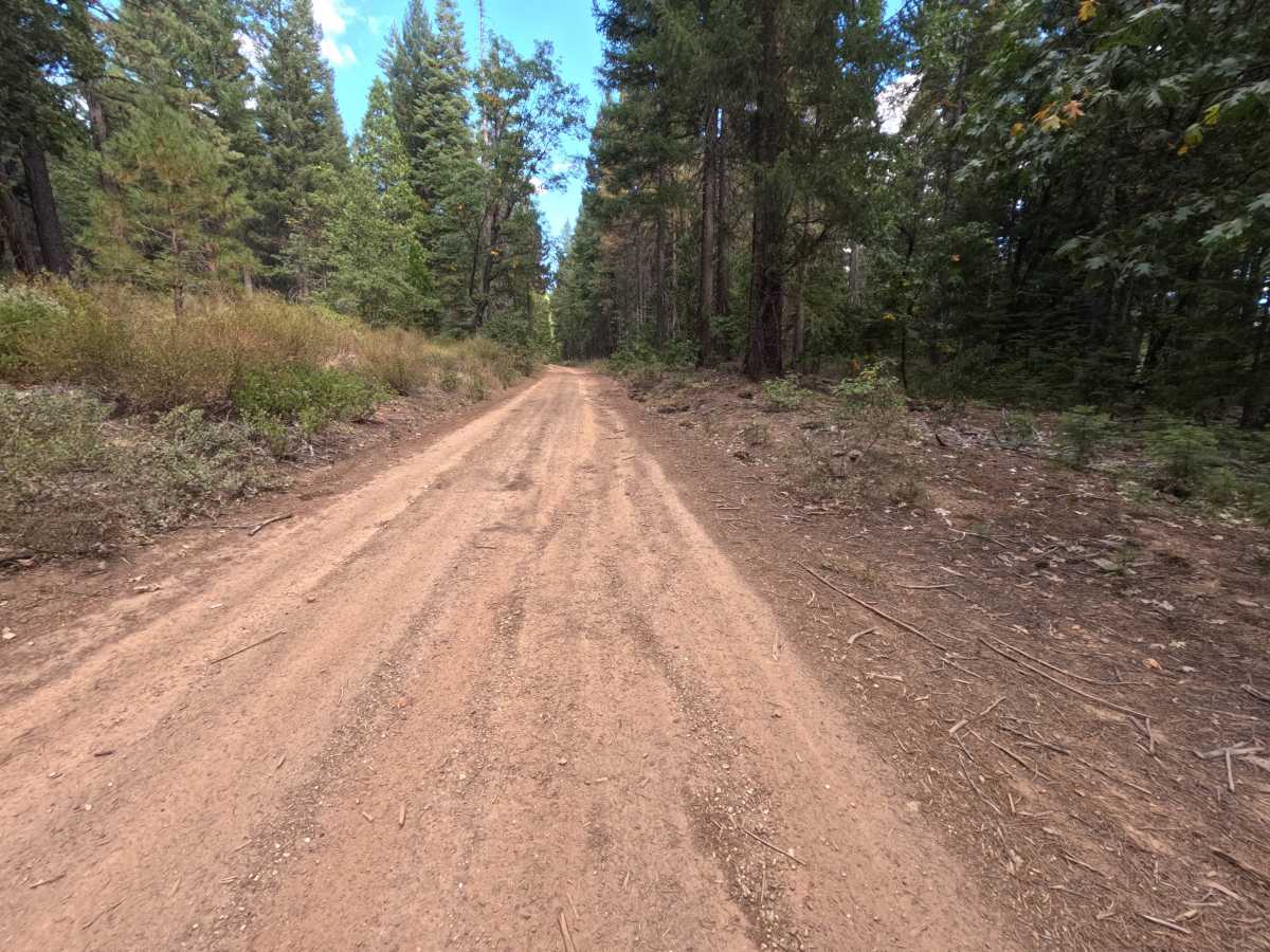
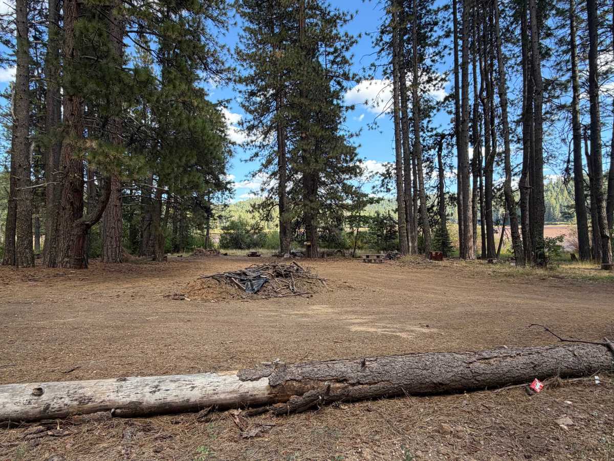
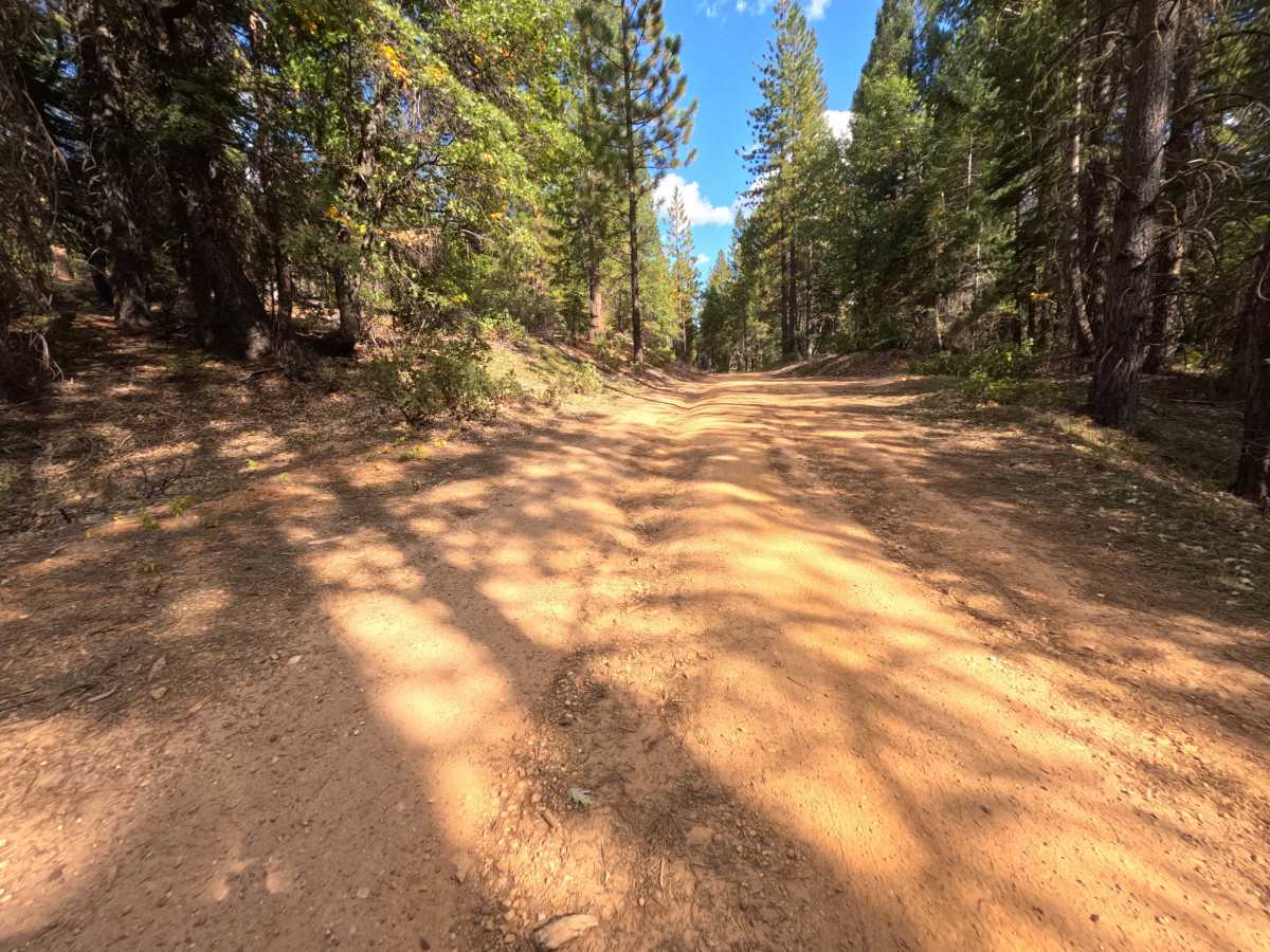
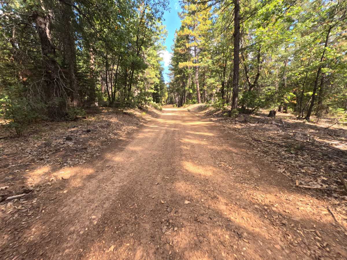
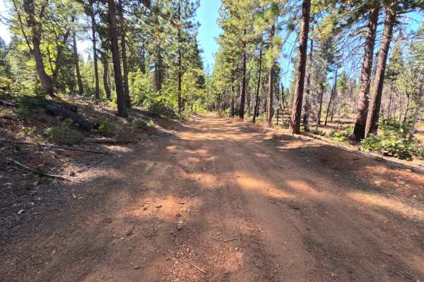
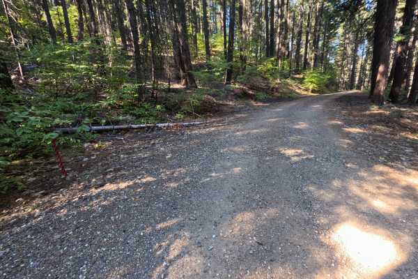
Snake Lake Loop (FS 24N27) is a wide, easygoing dirt and gravel connector in the Plumas National Forest, linking Virgilia Gopher Hill Road (FS 25N20) with the paved Snake Lake Road and serving as the main route to Snake Lake Campground and Equestrian Camp. Several interconnecting spurs branch off along the way. The drive winds gently through shaded, mature forest, with cut banks on the uphill side and grassy meadows opening up near the lake. One stretch opens to an excellent view across Snake Lake, a shallow, marshy lake ringed by forested hills. Near the lake, a designated camping area offers picnic tables, bear boxes, and a posted trailhead, and the campground also serves horse campers, so watch for hikers, riders, and horse trailers in this area. The surface is hard-packed red dirt with scattered small stones, changing to coarse gravel toward the paved end. Summer and fall offer the best conditions.
Difficulty
Rated a 1 because this is a wide, well-traveled dirt and gravel road with gentle grades and no meaningful obstacles. Small stones and loose gravel are scattered across the surface, especially near the paved end, and needles and leaves collect along the shoulders. There are no ruts, rock obstacles, ledges, steep pitches, or water crossings anywhere along the route. Standard ground clearance is all that is needed.