Trail Overview
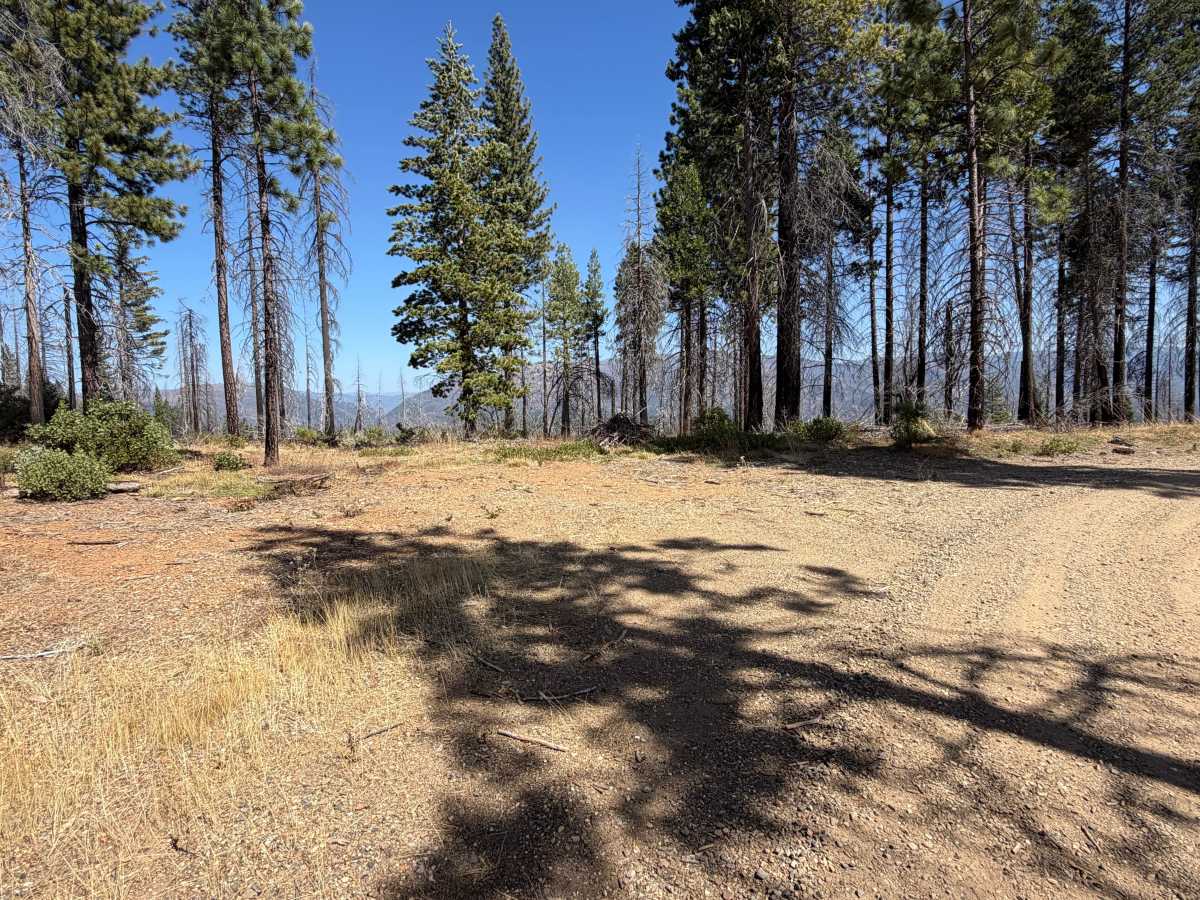
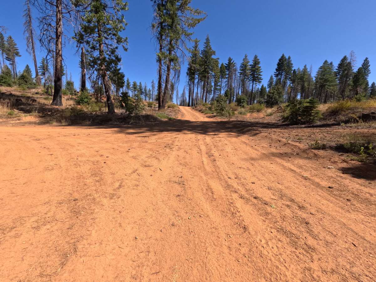
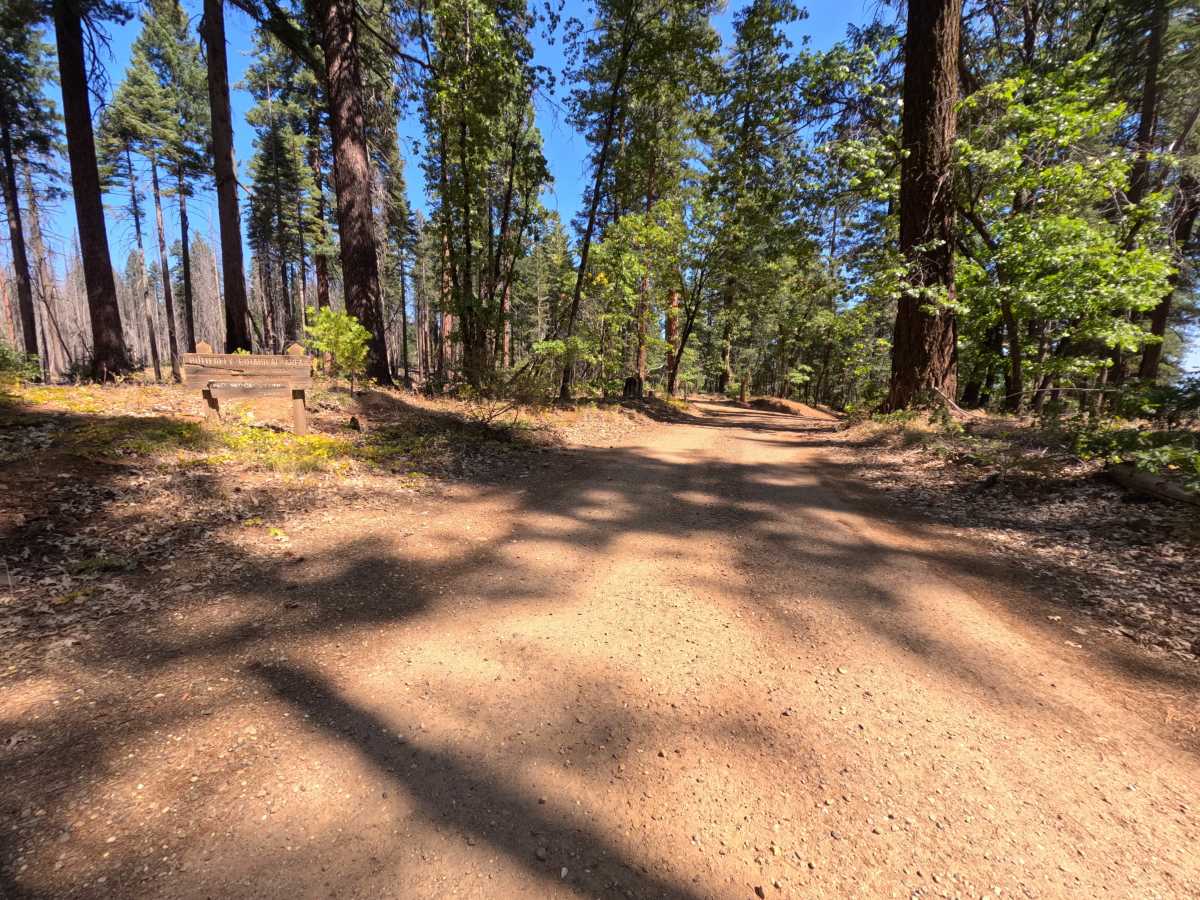
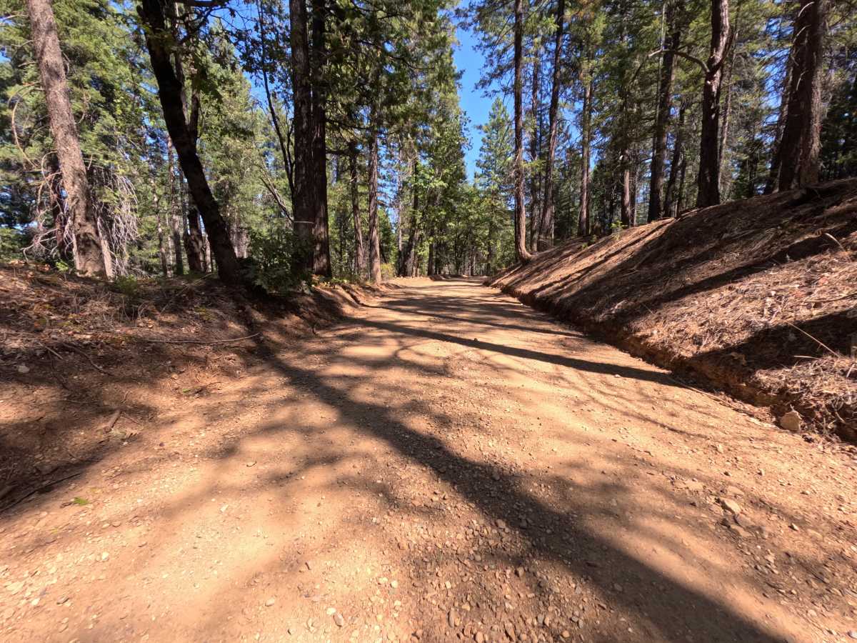
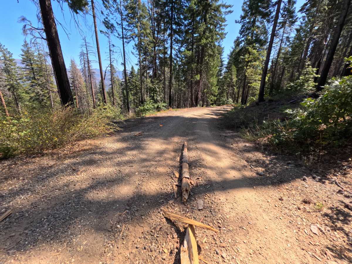
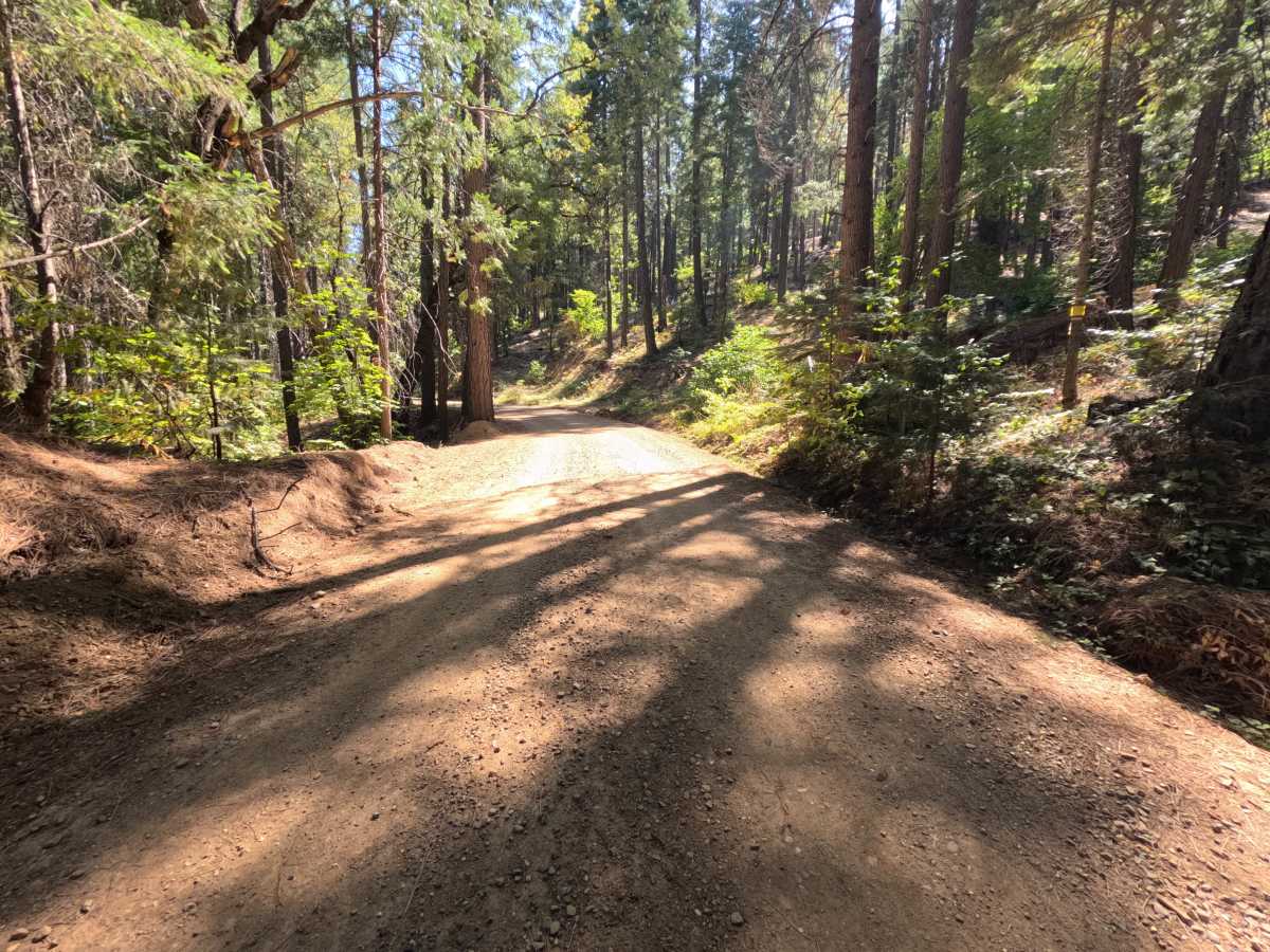
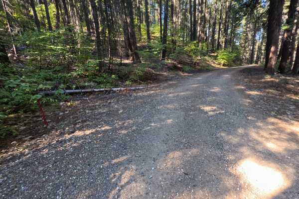
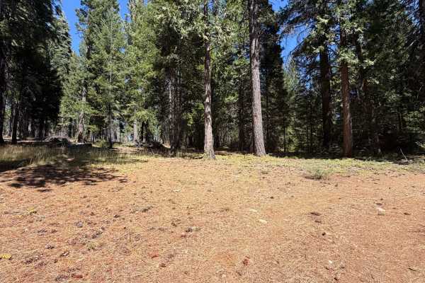
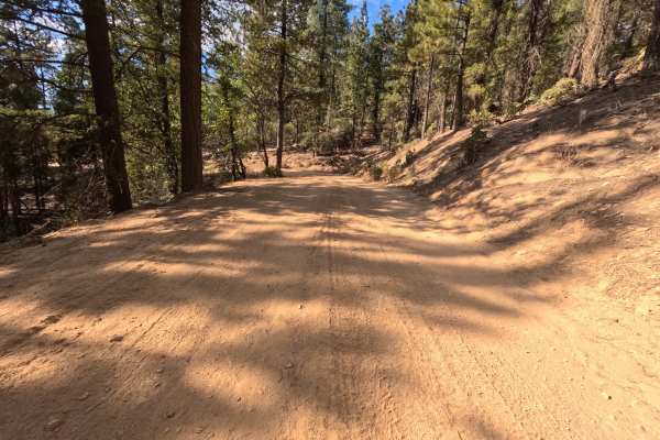
Blackhawk (FS 25N12) is a wide, graded gravel connector in the Plumas National Forest, linking the saddle on the Virgilia Gopher Hill road with a paved intersection that leads back toward Highway 70 and offers easy access to Quincy. The route passes the edge of the Butterfly Valley Botanical Area, marked by a wooden sign at the roadside, a protected area where woodcutting is not allowed. The drive moves between cool, shaded stands of tall pine, fir, cedar, and black oak and open slopes still recovering from the 2021 Dixie Fire, where blackened snags rise above manzanita and young pines. Several bends open to long views across the deep canyons and forested ridges of the Feather River country. A shale cut bank lines one stretch of the road. Dispersed camping is easy to find, from small pullouts for one or two vehicles to larger flats with room for two or three. Summer and fall offer the best conditions.
Difficulty
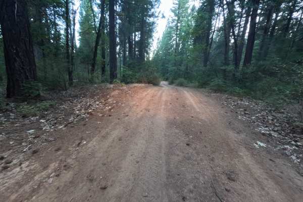
Rated a 1 because this is a wide, well-maintained gravel road with gentle grades and plenty of room for oncoming traffic. Loose gravel and small stones are scattered across the surface, and bits of bark and fallen branches collect on the tread through the burned stretches. There are no ruts, rock obstacles, ledges, steep pitches, or water crossings anywhere along the route. Standard ground clearance is all that is needed.