Trail Overview
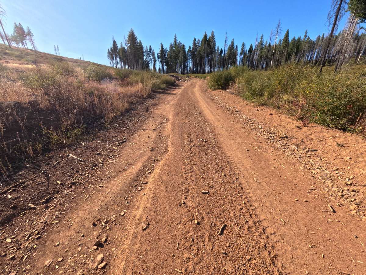
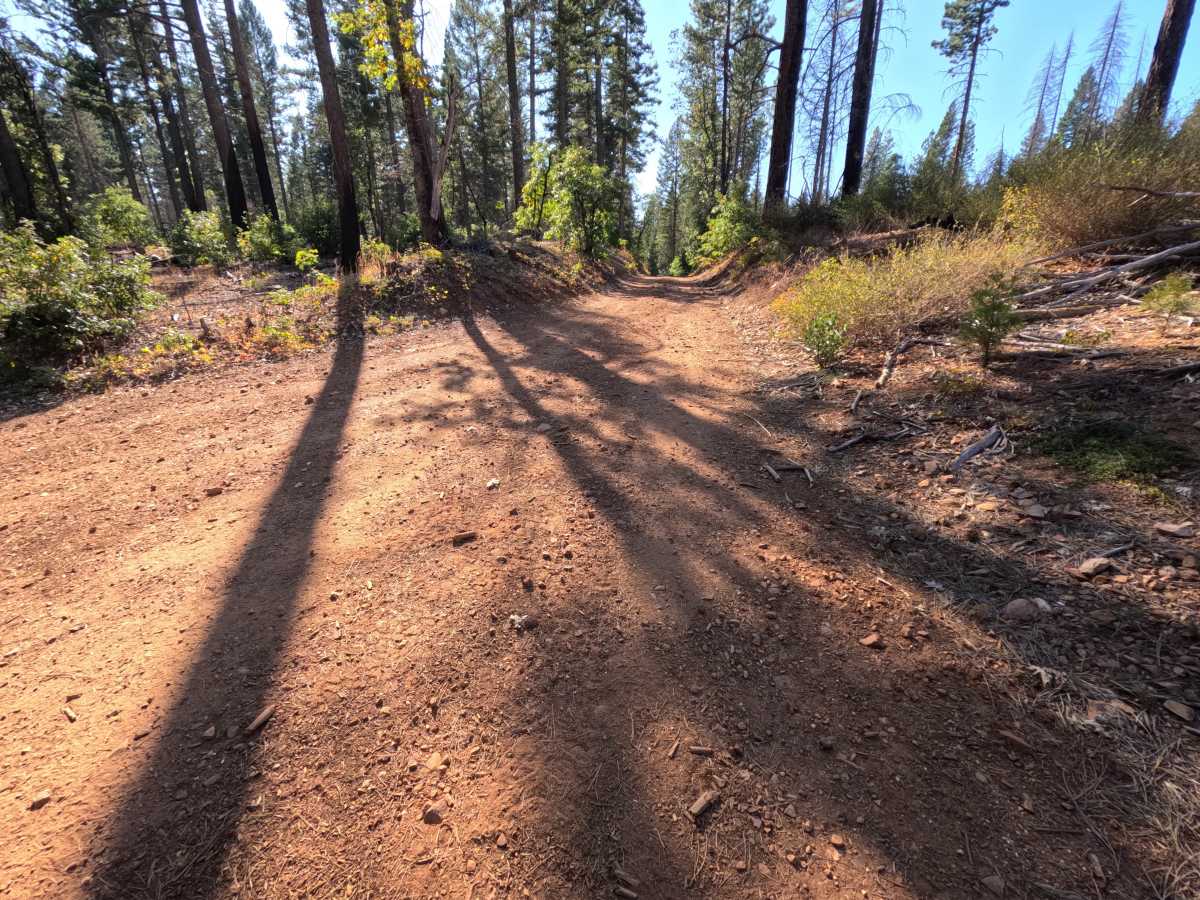
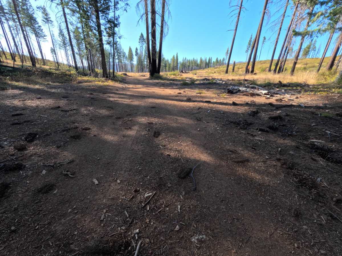
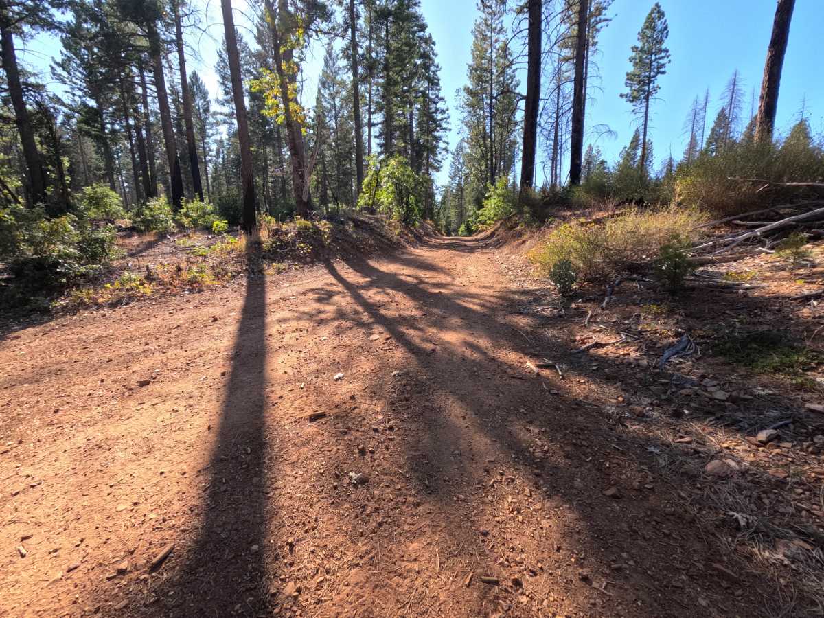
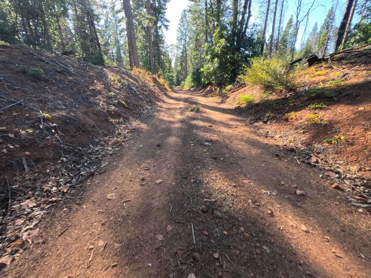
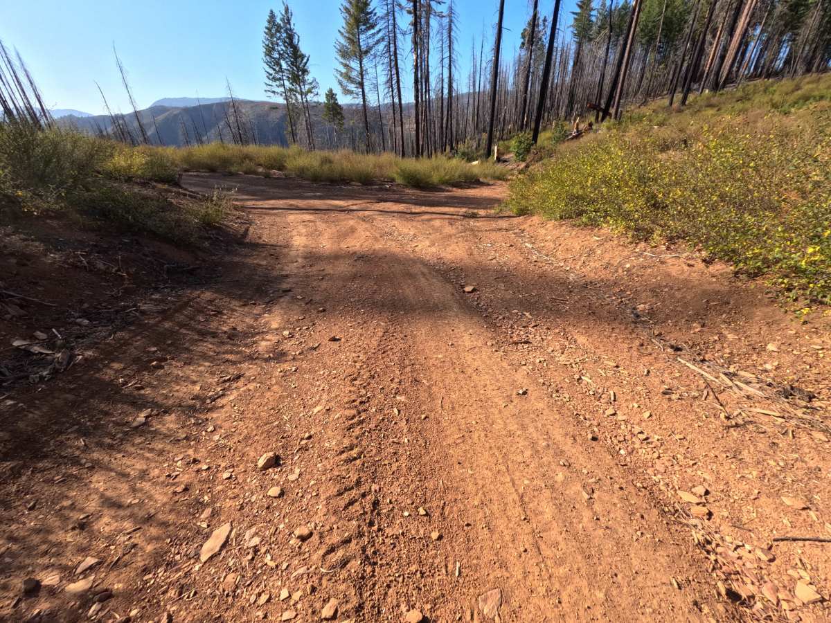
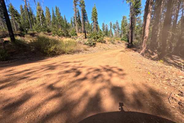
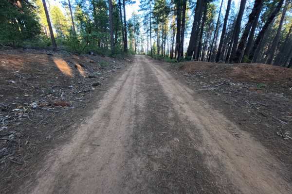
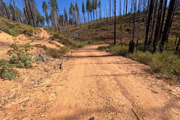
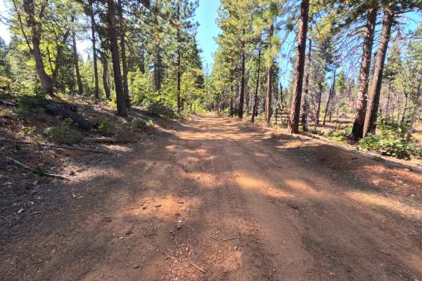
Butterfly A (FS 9M53) is a short out-and-back dirt route that branches off the Victor road (FS 25N62) in the Plumas National Forest and runs roughly 1.3 miles between the tops of the surrounding hillsides. The drive moves back and forth between shaded stands of tall, unburned pine, fir, cedar, and black oak and open slopes recovering from the 2021 Dixie Fire, where blackened trunks stand above golden grass and fresh green shrubs. In one stretch, the road dips into a shallow cut with earthen banks rising on both sides, and elsewhere it crests open ground with glimpses of distant ridges. The surface is hard-packed red dirt with fine gravel, small stones, and pine cones scattered on top, wide enough for comfortable single-vehicle travel. Two spots along the way offer room to camp, one with space for a single vehicle and a pair of flat pullouts with room for up to two vehicles each. There are no overlooks or developed sites. Summer and fall offer the best conditions.
Difficulty
Rated a 1 because this is a firm, hard-packed dirt road with gentle grades and no meaningful obstacles. Small stones, pine cones, and wood chips are scattered across the tread, and a few faint tire grooves show where the surface softens slightly. There are no deep ruts, rock obstacles, ledges, steep pitches, or water crossings anywhere along the route. Standard ground clearance is all that is needed.