Trail Overview
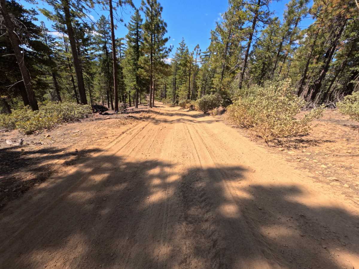
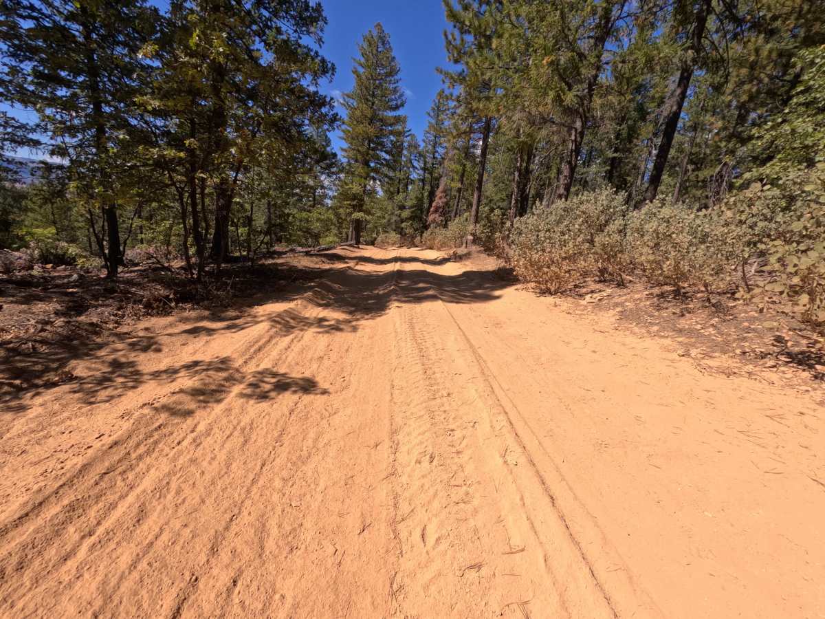
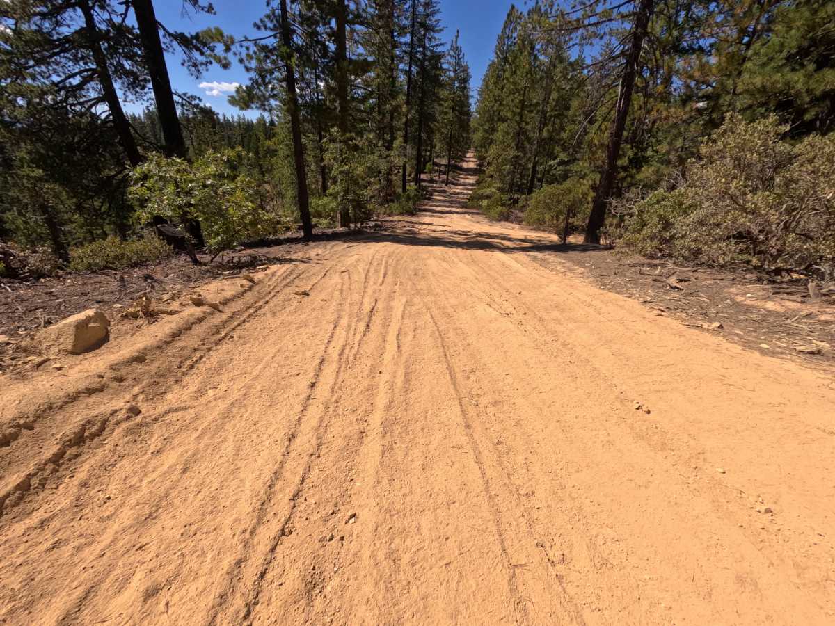
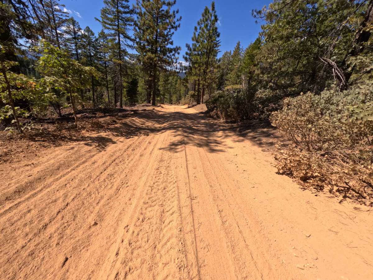
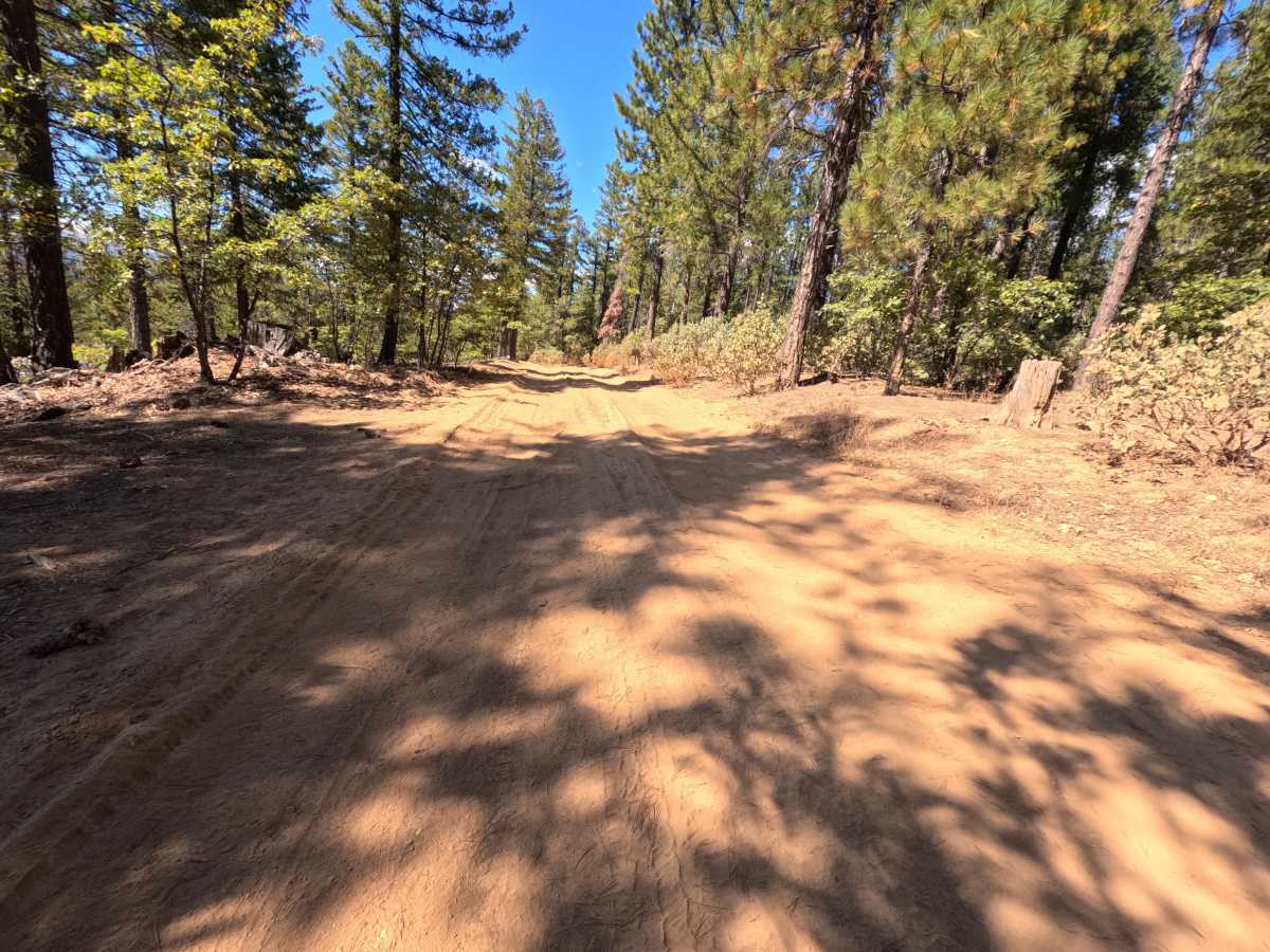
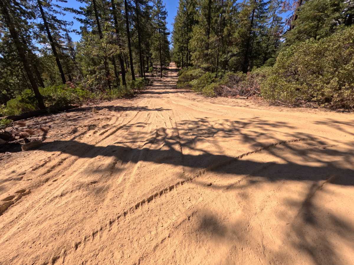
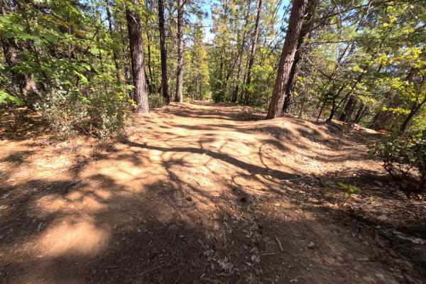
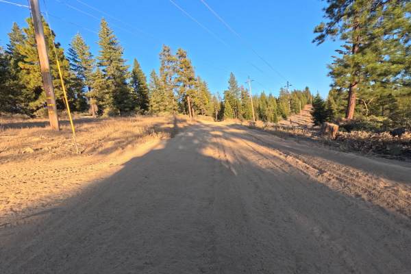
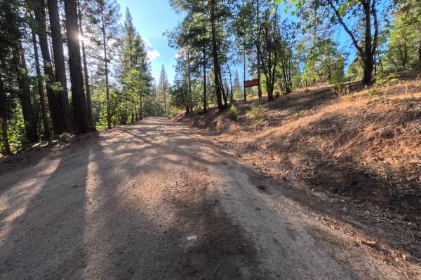
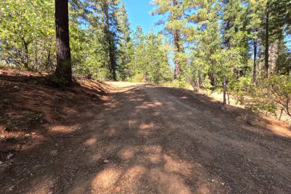
Whitlock Tie (FS 9M39) is a short dirt connector in the Plumas National Forest that follows the spine of a ridge between the Whitlock Tie Spur (FS 9M39A) and an intersection offering access to the Snake Lake Loop road (FS 24N09Y). The route rides the crest through open stands of tall ponderosa pine and fir, with thick manzanita lining both shoulders and occasional breaks in the trees revealing distant forested ridges and mountains. The surface is a deep layer of soft, powdery red silt churned with tire tracks, wide enough for comfortable single-vehicle travel, with stretches of rippled washboard and shallow grooves where the silt has been pushed around. At the high point of the spine, a dispersed campsite tucked into the trees has room for one or two vehicles and views out across the surrounding country. Just past the camp, the road bends downhill to the far intersection. Late summer and fall offer the driest conditions.
Difficulty
Rated a 3 for deep, powdery silt along nearly the entire ridge that reduces traction and causes tires to drift and dig in, especially on the downhill bend at one end and the climb back up. Rippled washboard and shallow ruts carved into the soft surface add to the rough ride, so a steady pace that keeps momentum without spinning works best. There are no ledges, rock obstacles, or water crossings, which keeps the rating from going higher. Good ground clearance is recommended.

 Offroad