Trail Overview
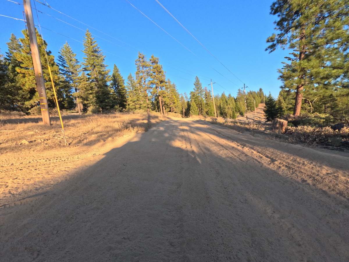
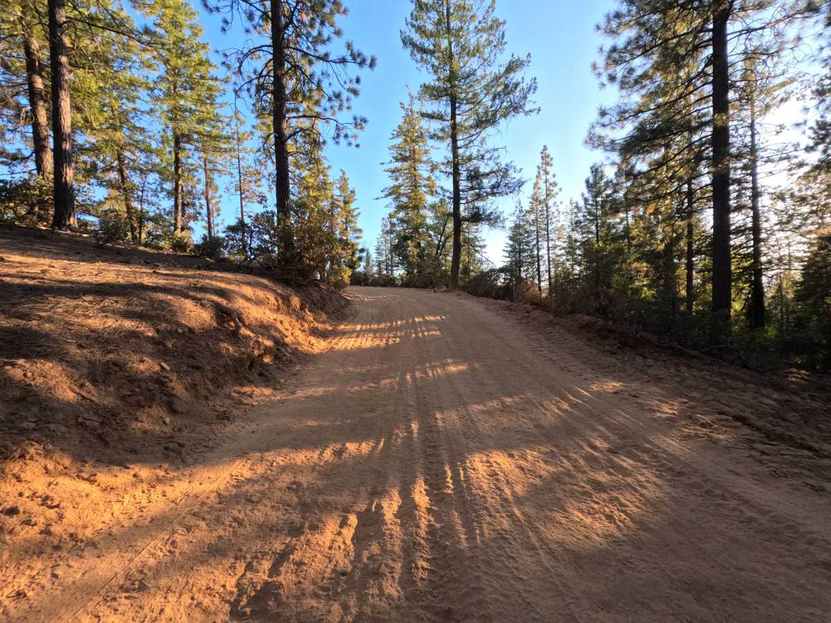
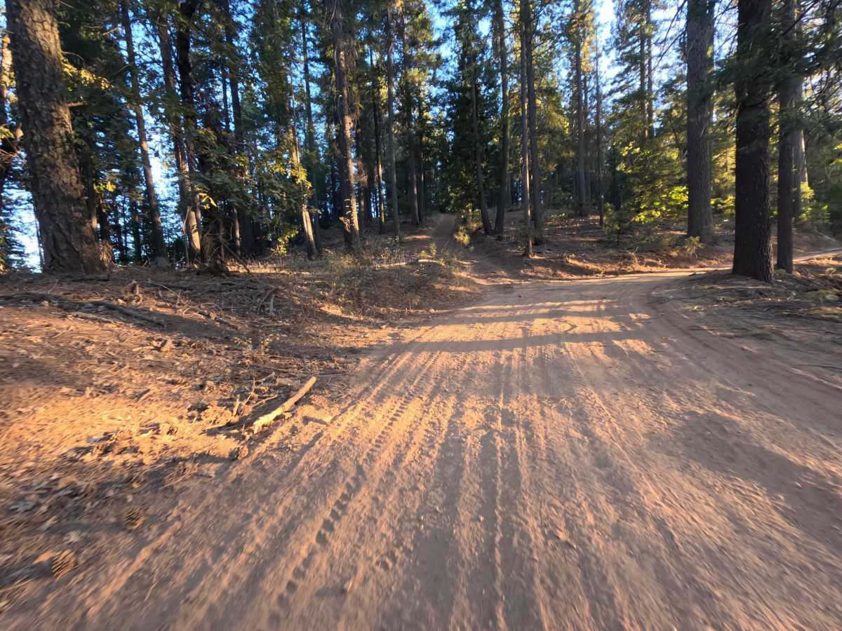
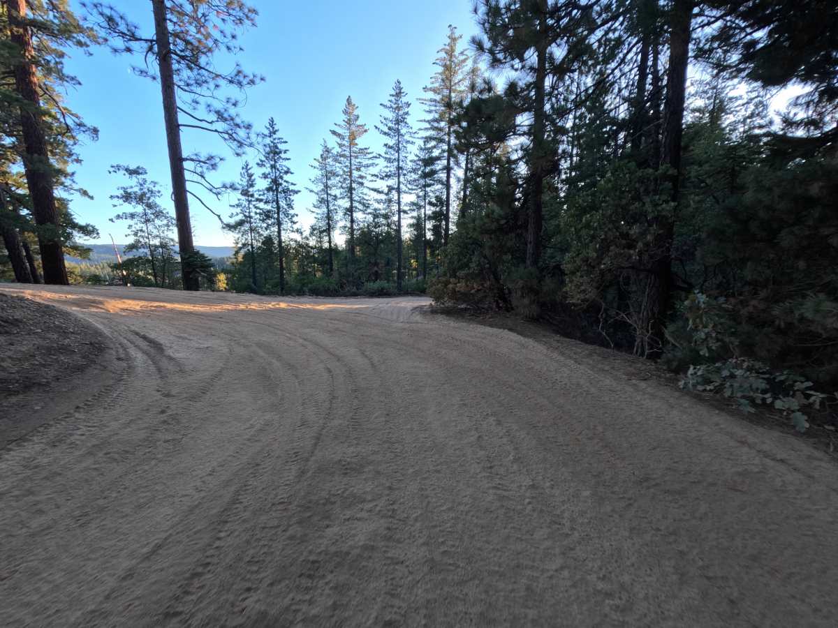
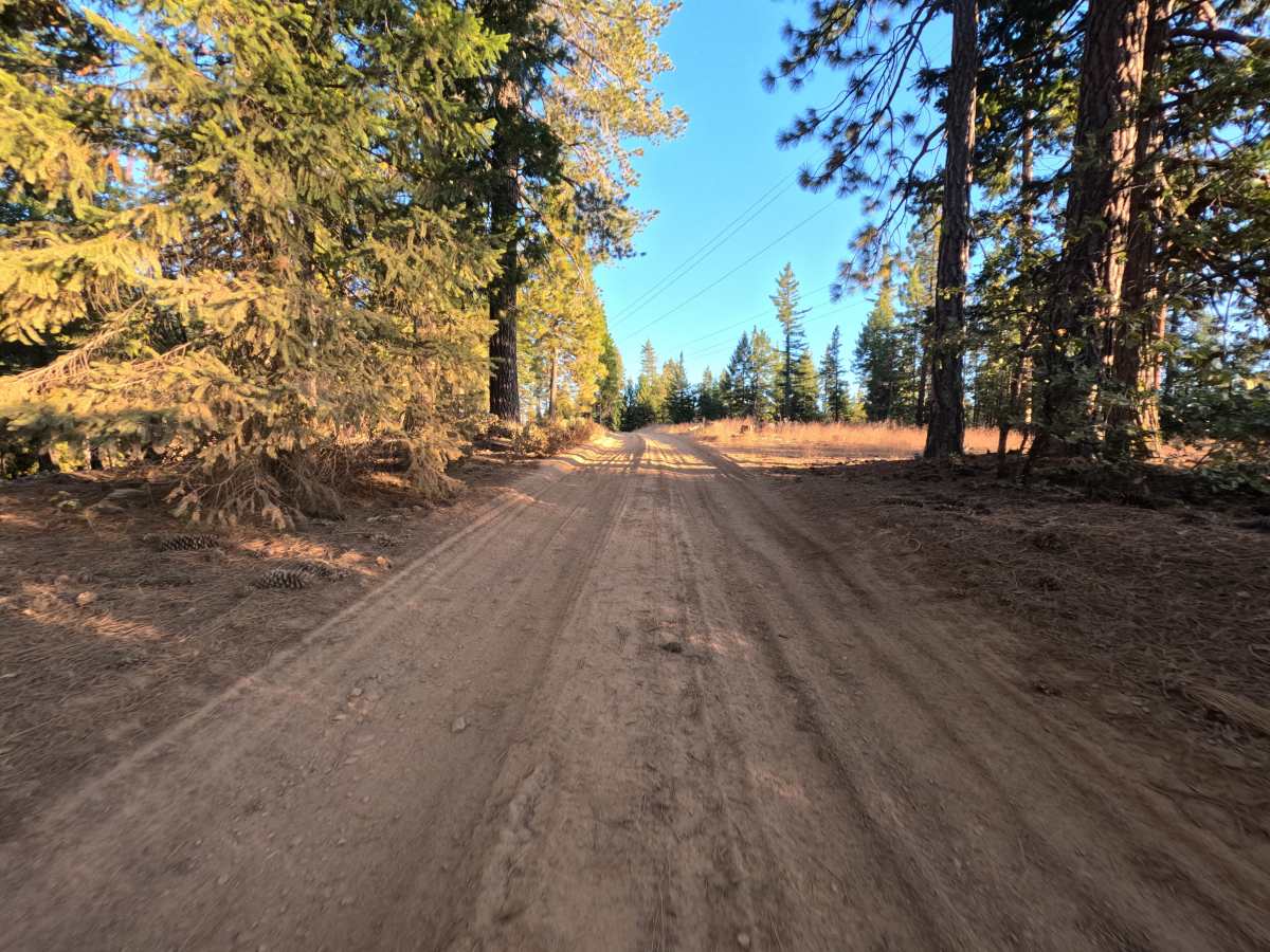
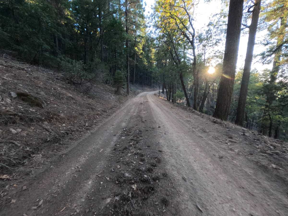
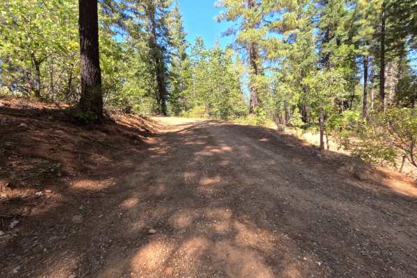
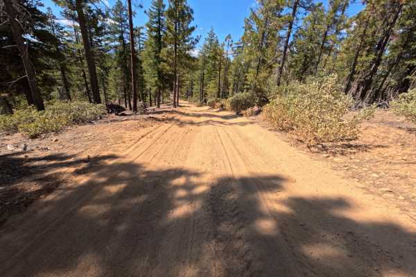
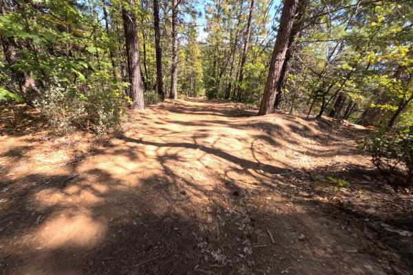
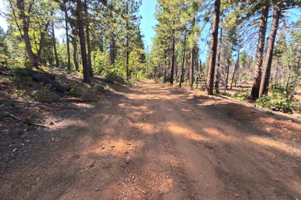
FS 24N09Y is a short dirt connector in the Plumas National Forest, branching off the Powerline Road (FS 25N83) where the two briefly run side by side, then climbing away to a saddle where another spur continues along the ridge. The route winds through open stands of tall ponderosa pine, fir, and cedar, with manzanita and young conifers lining the shoulders and a utility line passing overhead near one end. Once it leaves the parallel section, the road surface changes from firm red dirt to a deep layer of fine, powdery silt that holds tire tracks and kicks up thick dust in dry weather. The road stays wide enough for comfortable single-vehicle travel with mild grades throughout. A small dispersed campsite tucked beside the road just past the power lines has room for one vehicle. There are no overlooks or developed sites along the way. Late summer and fall bring the driest conditions.
Difficulty
Rated a 2 for long stretches of deep, powdery silt that soften the surface and reduce traction, causing tires to drift and dig in at higher speeds. A steady, moderate pace keeps momentum through the silty sections without spinning or getting bogged down, and the fine dust can limit visibility when following another vehicle. Grades are mild, and there are no ruts, rock obstacles, ledges, or water crossings, which keeps the rating from going higher. Moderate ground clearance is enough.

 Offroad