Trail Overview
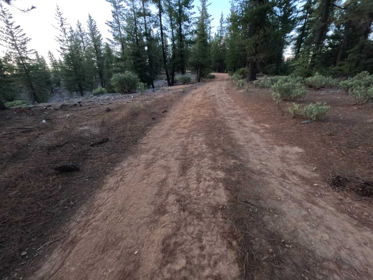
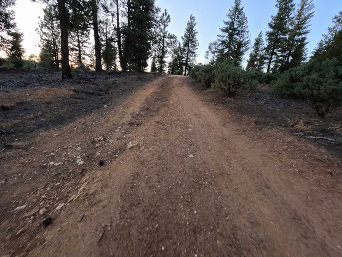
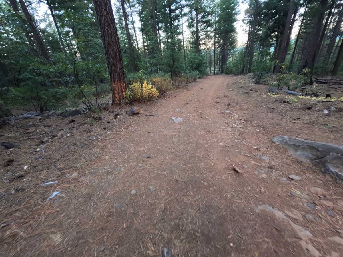
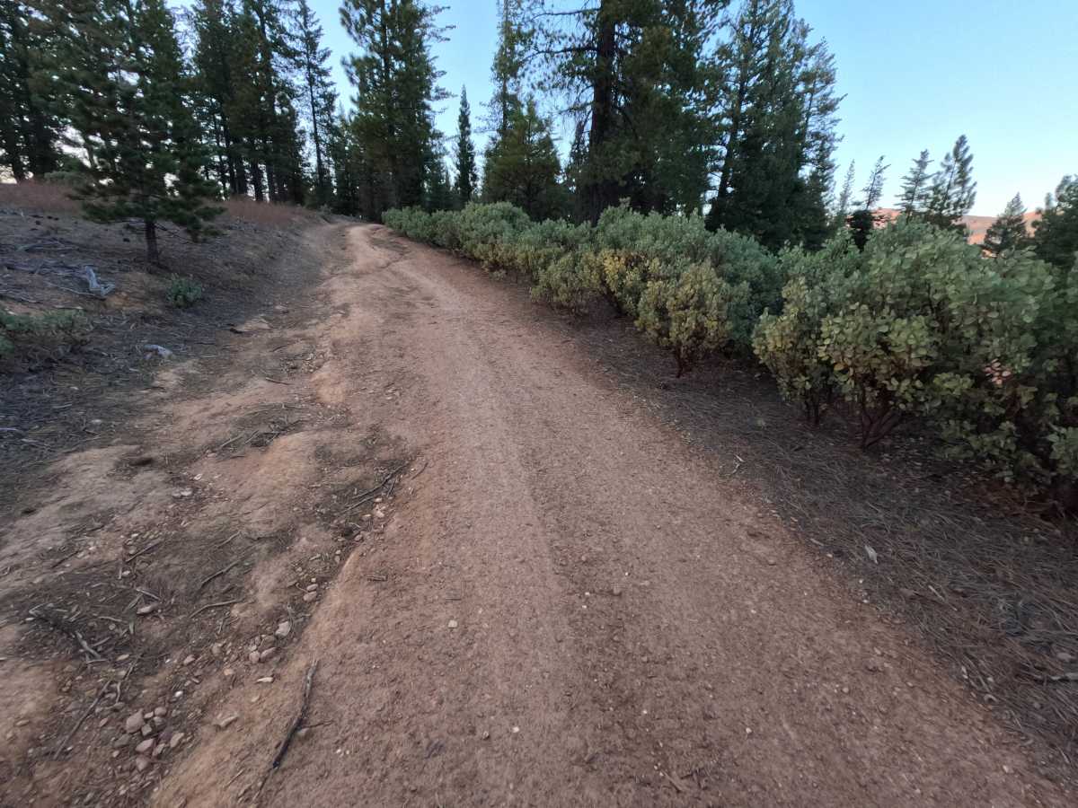
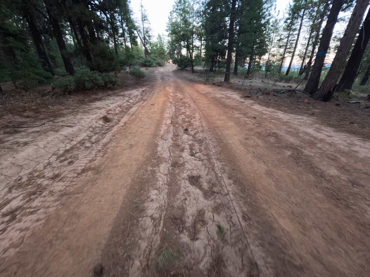
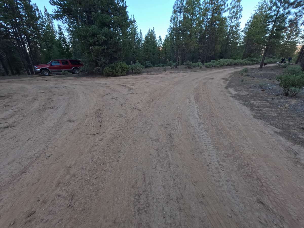
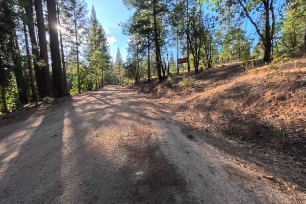
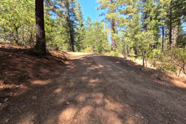
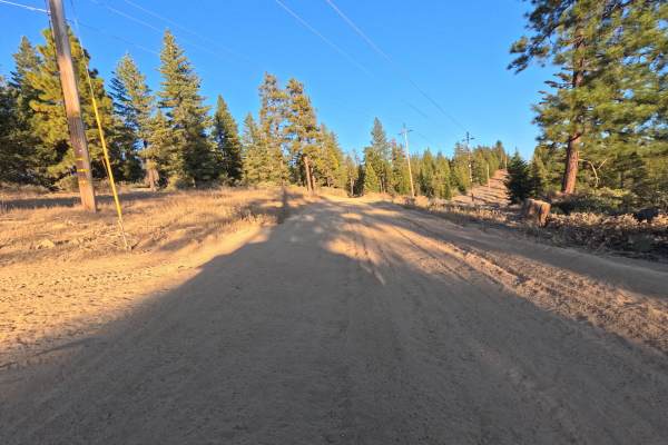
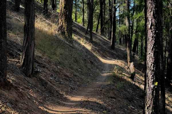
Mt Hough Loop (FS 9M49) is a short, rugged dirt route on the slopes of Mount Hough in the Plumas National Forest, running roughly 1.1 miles from its junction as an out-and-back. The route winds through open stands of ponderosa pine and fir with dense manzanita lining much of the way, and breaks in the trees reveal distant ridges glowing at sunrise and sunset. Just past the start, a short side spur leads to a small dispersed campsite with room for one vehicle. Beyond that, the character changes quickly: a deeply eroded section requires a tilted, off-camber line along its edge, and farther on, a rocky stretch of loose and embedded stone calls for careful tire placement. The final descent follows a set of ruts down toward a utility line corridor. The red clay surface hardens and cracks when dry but turns slick after rain. Summer and fall offer the best conditions.
Difficulty
Rated a 3 for a deep washout that forces an off-camber line along its edge, a rocky section of loose and embedded stone, and a descent through ruts that are best straddled with a wheel on each side. The washed-out stretch tilts a vehicle noticeably, so a slow, deliberate approach is important. There are no ledges, boulder fields, or water crossings, which keeps the rating from going higher. High ground clearance is recommended.

 Offroad