Trail Overview
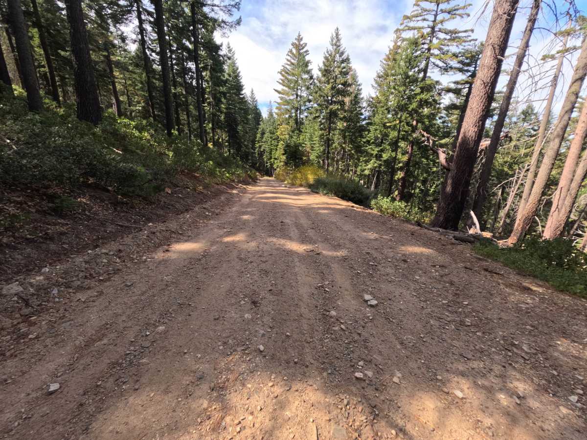
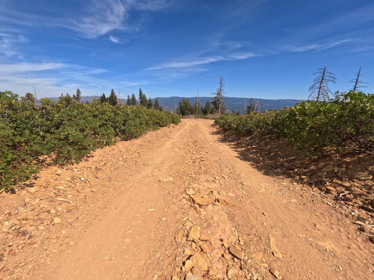
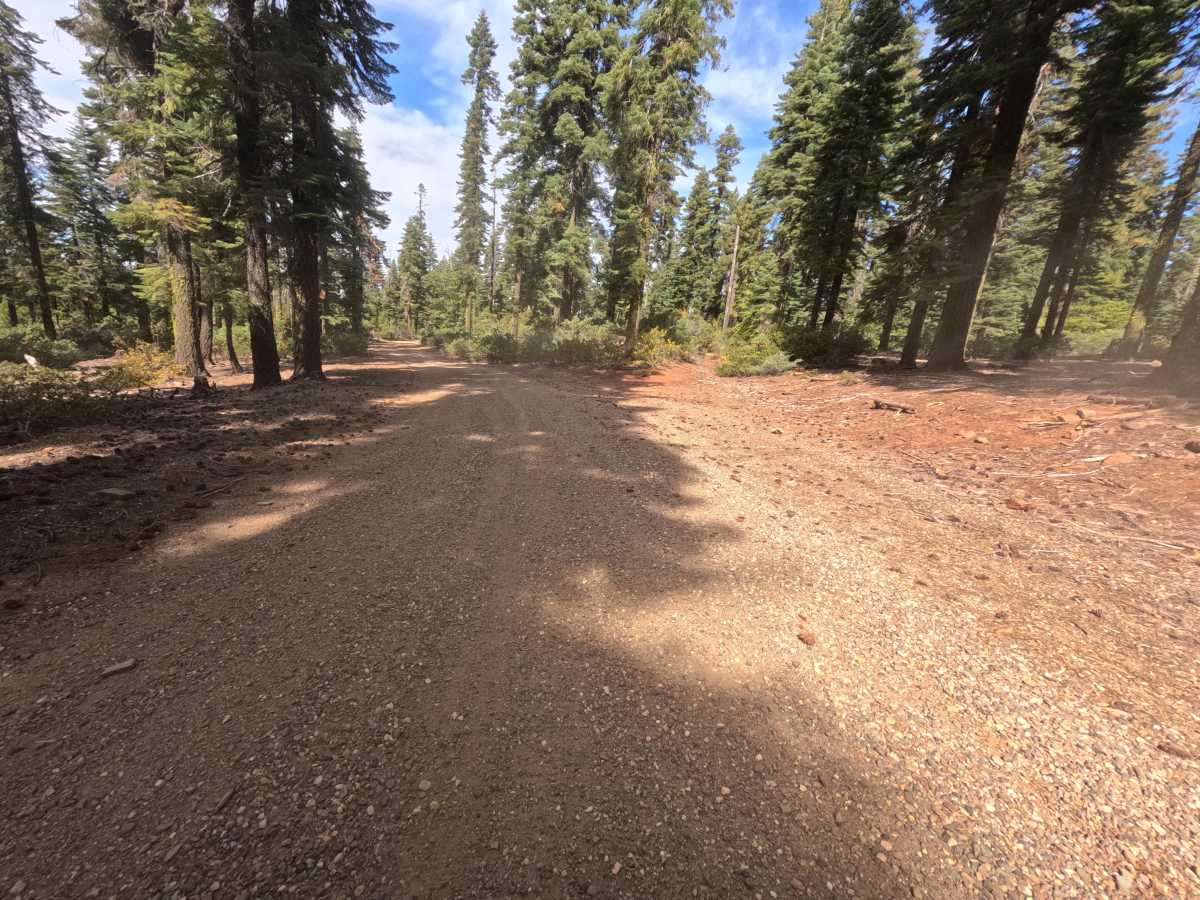
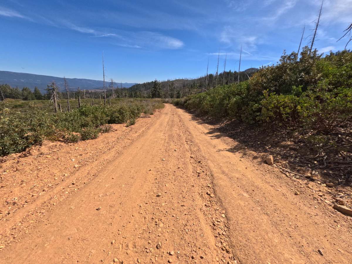
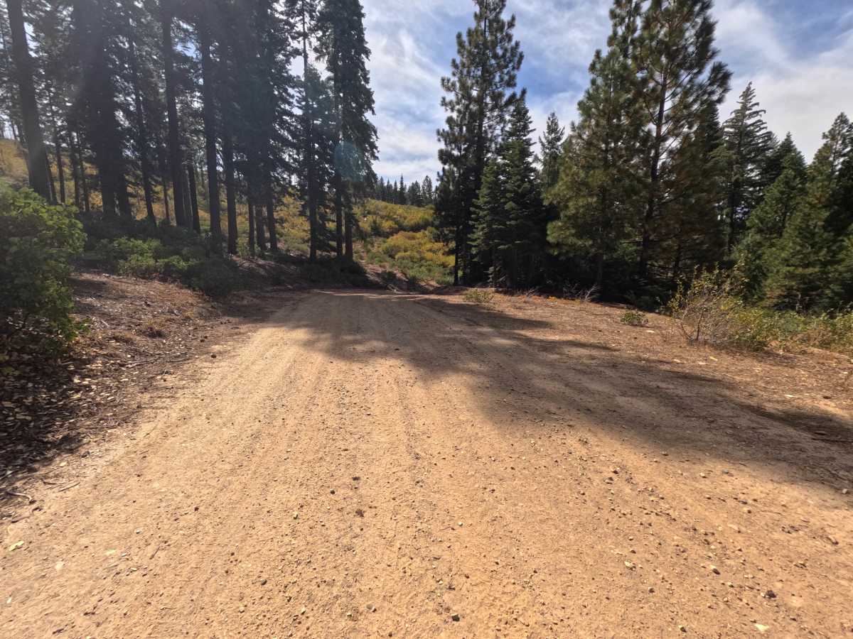
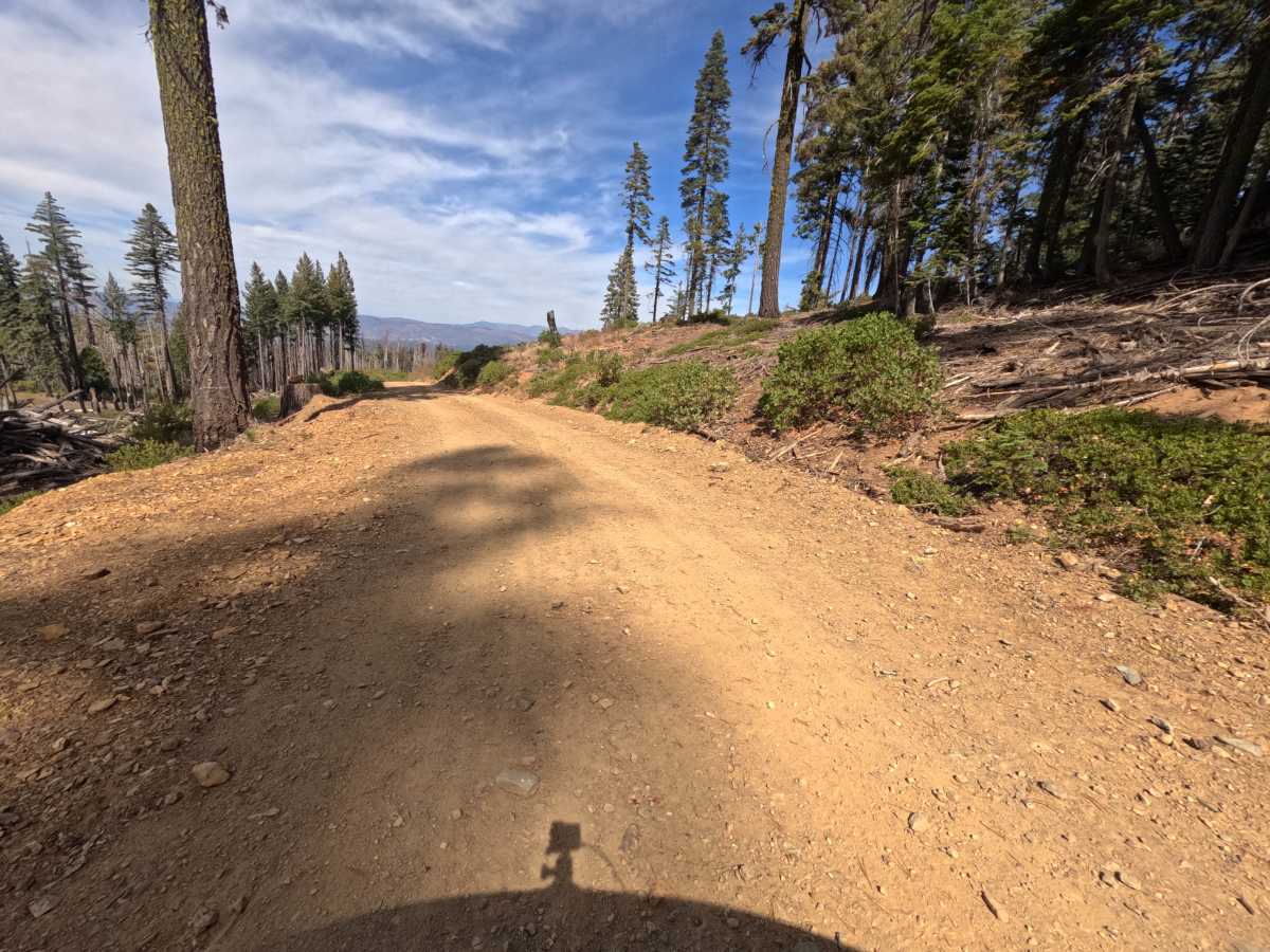
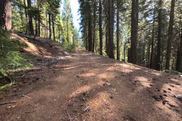
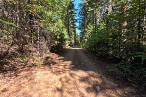
Claremont Tie (FS 24N21) is a short, easy connector in the Plumas National Forest, linking East Claremont road on the ridgeline with the Mill Creek road (FS 24N20) as it winds down the mountainside. The upper section crosses open slopes recovering from the 2020 North Complex Fire, where low green brush and scattered snags leave the views wide open across the valley floor and the long forested ridges beyond. Lower down, the road drops into a cool, shaded stretch of tall, unburned forest before reaching the Mill Creek intersection. The surface is a wide, well-graded road of red dirt and fine gravel with only small loose stones on top, roomy enough for comfortable travel throughout. A short old spur near the upper end now serves as a dispersed campsite with room for two vehicles. There are no developed sites along the way. Summer and fall offer the best conditions.
Difficulty
Rated a 1 because this is a wide, well-graded dirt and gravel road with a steady but gentle descent and no meaningful obstacles. Small loose stones and a light layer of fine gravel cover the surface, and pine needles and twigs collect along the shoulders in the forested section. There are no ruts, rock obstacles, ledges, steep pitches, or water crossings anywhere along the route. Standard ground clearance is all that is needed.