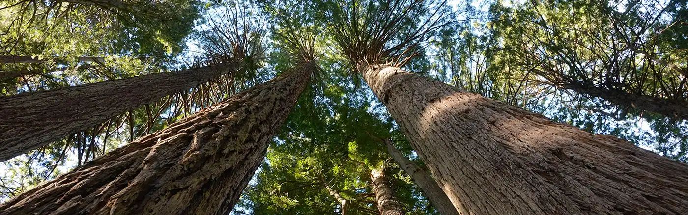
Dirt Bike Trails
Near Keddie, California
Explore All Dirt Bike Trails Near Keddie, California
Dirt Bike Trails Near Keddie, California
Discover the best dirt bike trails near you. Browse trail maps, check difficulty ratings, and find your next adventure — whether you're looking for a quick ride or an all-day expedition.
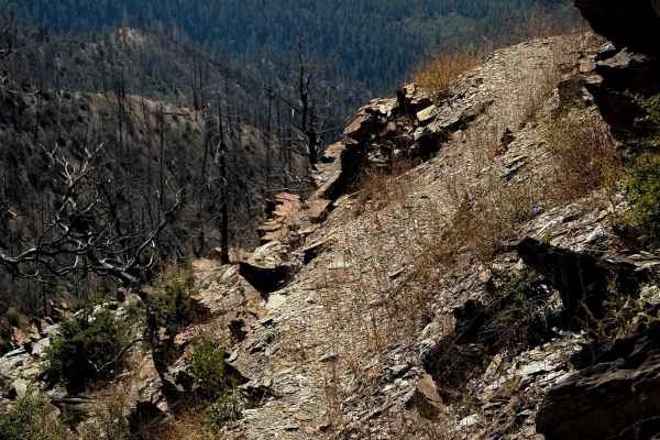
Keddie
Keddie is a 2-mile-long singletrack on the west side of the Mount Hough Trail System that is less trafficked and more primitive. It starts on the east end at an intersection with Acorn Grotto, then crosses the road, and goes along an old shelf road. The shelf has overgrown grass and will likely have...
Learn more about Keddie
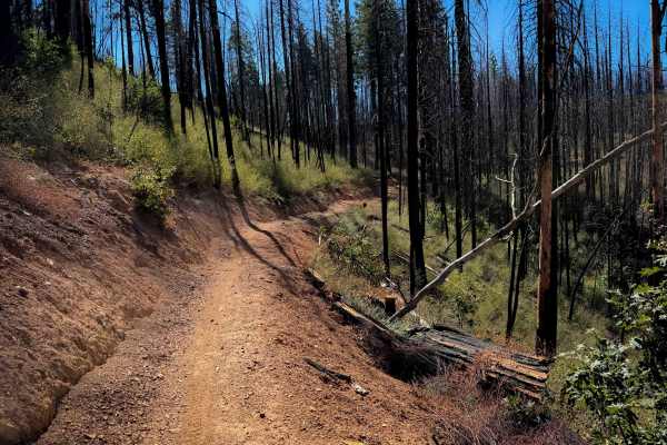
Acorn Connector
This is a 1-mile connecting piece of trail between the upper and lower segments of the Acorn Grotto Trail. This segment is easy, as it climbs up a hillside on a wide smooth path for the first half of the route, then descends back down. It’s a little bit shelfy as it hugs the hillside, but it does no...
Learn more about Acorn Connector
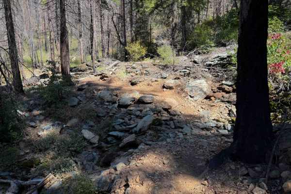
Upper Acorn Grotto
The upper 4.6 miles of Acorn Grotto are slightly easier than the Lower Acorn Grotto segment, as it doesn’t have as much exposure. The south end starts as a shelfy trail curving along the edge of the hillside, through a burn area. The trail was clear of logs, but there will always be potential for do...
Learn more about Upper Acorn Grotto
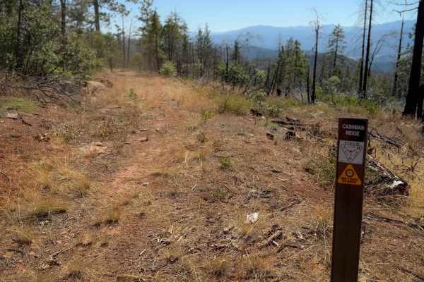
Cashman Ridge
This is one of only a few ATV trails in the Mount Hough Trail System. It’s primitive and overgrown, mostly following the path of an old forest road. It climbs up a hillside next to a ravine, with grass in the trail, and big waterbars. It goes through a very dry and sparse pine forest, and will have ...
Learn more about Cashman Ridge
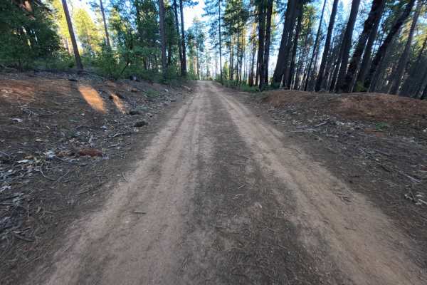
Sink - FS 25N53
Sink (FS 25N53) is a well-traveled dirt connector in the Plumas National Forest, linking Butterfly Valley Twain Road with another spur along the ridgeline above the Feather River country. A small brown post marked 25N53 stands at the roadside near one end. The route winds along wooded hillsides thro...
Learn more about Sink - FS 25N53
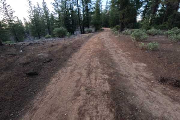
Mount Hough Loop - FS 9M49
Mt Hough Loop (FS 9M49) is a short, rugged dirt route on the slopes of Mount Hough in the Plumas National Forest, running roughly 1.1 miles from its junction as an out-and-back. The route winds through open stands of ponderosa pine and fir with dense manzanita lining much of the way, and breaks in t...
Learn more about Mount Hough Loop - FS 9M49
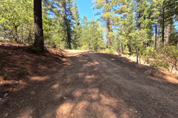
Blackhawk Loop - FS 25N13
Blackhawk Loop (FS 25N13) is a quiet dirt connector that follows the ridgeback above the Feather River country in the Plumas National Forest, linking the Blackhawk Spur with a wide bend where two more spur roads branch off. The route climbs at a gentle, steady grade through a mostly green, unburned ...
Learn more about Blackhawk Loop - FS 25N13
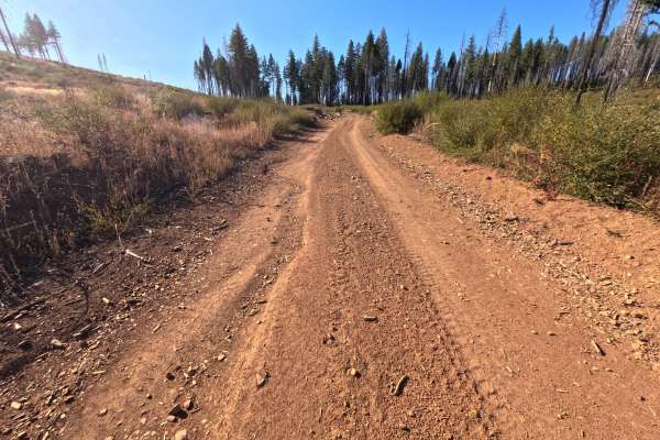
Butterfly A - FS 9M53
Butterfly A (FS 9M53) is a short out-and-back dirt route that branches off the Victor road (FS 25N62) in the Plumas National Forest and runs roughly 1.3 miles between the tops of the surrounding hillsides. The drive moves back and forth between shaded stands of tall, unburned pine, fir, cedar, and b...
Learn more about Butterfly A - FS 9M53
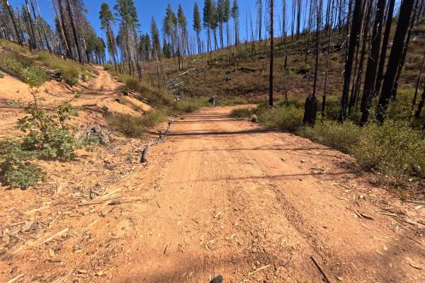
Victor - FS 25N62
Victor (FS 25N62) branches off the Blackhawk road system in the Plumas National Forest and winds around a steep hillside above the Feather River country as a short out-and-back dirt route. Much of the drive crosses slopes burned in the 2021 Dixie Fire, where dense stands of silver and blackened snag...
Learn more about Victor - FS 25N62
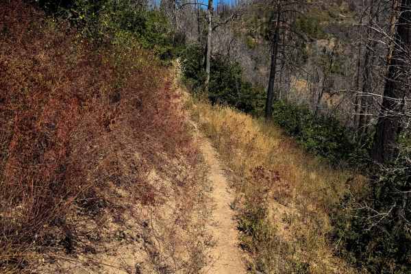
Lower Indian Falls Ridge
This is a fun singletrack accessed from the west side of the trail system that goes through dry and grassy terrain. The trailhead is on the corner of a switchback on 25N14 road, and it starts by going over a bunch of loose rock for the first couple turns of the trail as it gradually switchbacks up t...
Learn more about Lower Indian Falls Ridge
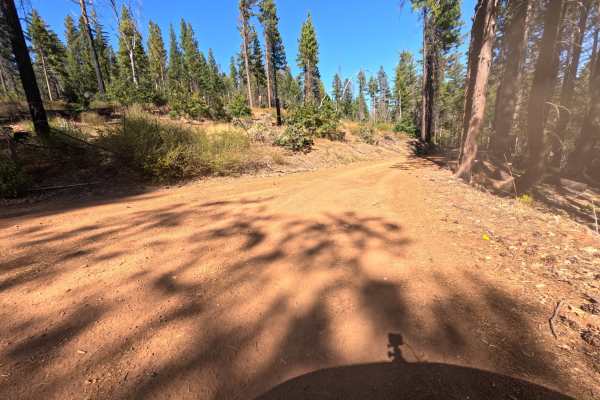
Dutch - FS 25N34Y
Dutch (FS 25N34Y) is a short dirt connector in the Plumas National Forest that wraps along the side of a hilltop, linking Butterfly Valley Twain Road with an intersection that opens onto several other spur roads. The route passes through a mix of tall, unburned ponderosa pine, cedar, fir, and black ...
Learn more about Dutch - FS 25N34Y
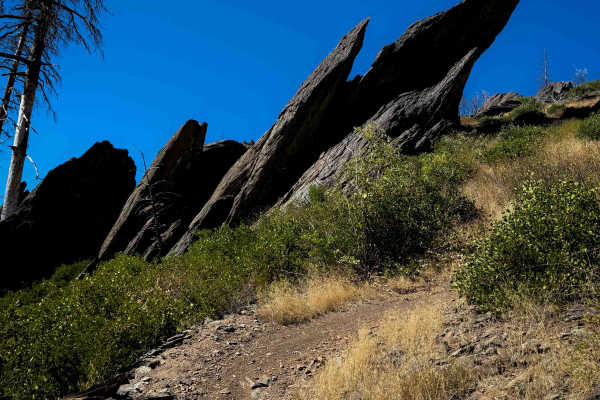
Indian Falls Ridge 2
This is a really scenic and fun trail option in the Mount Hough trail system. It has several big rock features that make it one of the harder trails in the area. It makes a 2.8-mile loop off of Indian Falls Ridge. Going clockwise, it starts in a burn area on a wide path, meandering through the burnt...
Learn more about Indian Falls Ridge 2
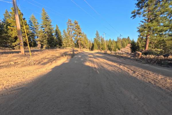
FS 24N09Y
FS 24N09Y is a short dirt connector in the Plumas National Forest, branching off the Powerline Road (FS 25N83) where the two briefly run side by side, then climbing away to a saddle where another spur continues along the ridge. The route winds through open stands of tall ponderosa pine, fir, and ced...
Learn more about FS 24N09Y
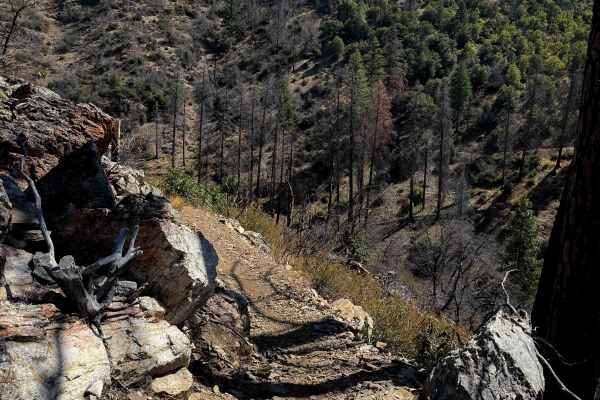
Lower Acorn Grotto
The lower portion of Acorn Grotto is a fun new trail on the west side of the Mount Hough Trail System, and will also be popular with mountain bikers. The south end starts as an easy path meandering through the oak trees in flat dry terrain. It starts to get shelfier as it goes around the edge of the...
Learn more about Lower Acorn Grotto
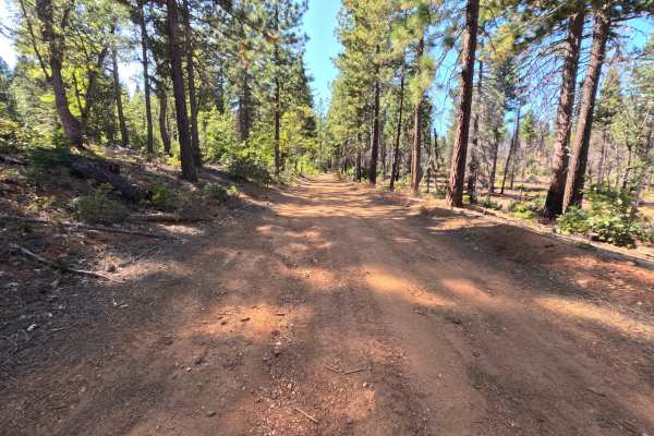
Blackhawk Spur - FS 25N12C
Blackhawk Spur (FS 25N12C) is a short, hard-packed dirt connector in the Plumas National Forest, linking the Blackhawk Loop (FS 25N13) with the Blackhawk road (FS 25N12) along the ridge above the Feather River country. The route travels through a mix of tall, unburned ponderosa pine, fir, and cedar ...
Learn more about Blackhawk Spur - FS 25N12C
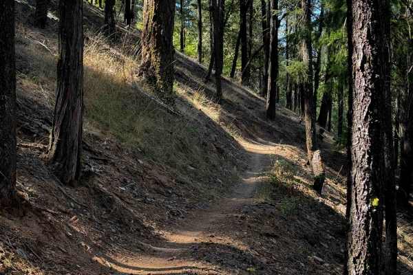
Huffleberry
Huffleberry is a short connector trail – 1 mile long – that connects the road 10M20 to the Berry Creek Trail. It’s mostly a semi-steep descent from south to north, as it side-hills across some dry pine hillsides on a narrow shelfy single track. There are several really wide switchbacks right away th...
Learn more about Huffleberry
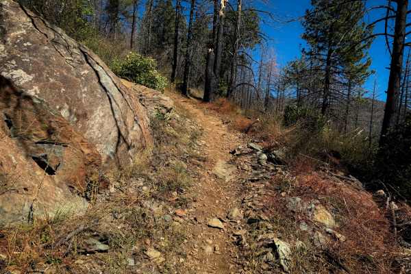
Indian Falls Ridge
Indian Falls Ridge is a fun and moderately easy trail on the north end of the Mount Hough Trail system, which is mostly fast and flowy, with a few more technical sections, and great views. The west end starts in a burn area on an easy path, with minor embedded rock surfaces. It starts to ascend as i...
Learn more about Indian Falls Ridge
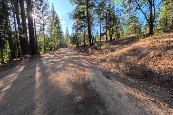
Powerline - FS 25N83
Powerline (FS 25N83) is a long, well-traveled dirt connector in the Plumas National Forest, linking State Route 70 in the Feather River canyon with a network of spur roads on the ridges above. The road climbs gently from the highway through shaded stands of tall ponderosa pine, cedar, fir, and black...
Learn more about Powerline - FS 25N83
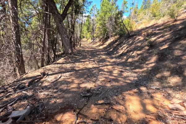
Rush Hill - FS 25N21
Rush Hill (FS 25N21) is a long, climbing dirt connector in the Plumas National Forest, linking State Route 70 in the Feather River canyon with a gravel spur road high on the ridge above. From the highway, the route begins as a faint, grassy two-track before winding uphill through a series of tight s...
Learn more about Rush Hill - FS 25N21
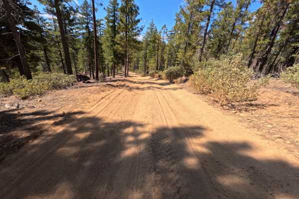
Whitlock Tie - FS 9M39
Whitlock Tie (FS 9M39) is a short dirt connector in the Plumas National Forest that follows the spine of a ridge between the Whitlock Tie Spur (FS 9M39A) and an intersection offering access to the Snake Lake Loop road (FS 24N09Y). The route rides the crest through open stands of tall ponderosa pine ...
Learn more about Whitlock Tie - FS 9M39
ATV trails near Keddie, California
Explore ATV-friendly trails near you. These trails are accessible for vehicles up to 50 inches wide, perfect for ATVs and smaller off-road machines.
Cashman Ridge
This is one of only a few ATV trails in the Mount Hough Trail System. It’s primitive and overgrown, mostly following the path of an old forest road. It climbs up a hillside next to a ravine, with grass in the trail, and big waterbars. It goes through a very dry and sparse pine forest, and will have ...
Learn more about Cashman Ridge
Sink - FS 25N53
Sink (FS 25N53) is a well-traveled dirt connector in the Plumas National Forest, linking Butterfly Valley Twain Road with another spur along the ridgeline above the Feather River country. A small brown post marked 25N53 stands at the roadside near one end. The route winds along wooded hillsides thro...
Learn more about Sink - FS 25N53
Mount Hough Loop - FS 9M49
Mt Hough Loop (FS 9M49) is a short, rugged dirt route on the slopes of Mount Hough in the Plumas National Forest, running roughly 1.1 miles from its junction as an out-and-back. The route winds through open stands of ponderosa pine and fir with dense manzanita lining much of the way, and breaks in t...
Learn more about Mount Hough Loop - FS 9M49
Blackhawk Loop - FS 25N13
Blackhawk Loop (FS 25N13) is a quiet dirt connector that follows the ridgeback above the Feather River country in the Plumas National Forest, linking the Blackhawk Spur with a wide bend where two more spur roads branch off. The route climbs at a gentle, steady grade through a mostly green, unburned ...
Learn more about Blackhawk Loop - FS 25N13
UTV/side-by-side trails near Keddie, California
Find UTV and side-by-side trails near you. These trails accommodate vehicles up to 60 inches wide, ideal for UTVs, side-by-sides, and wider off-road rigs.
Sink - FS 25N53
Sink (FS 25N53) is a well-traveled dirt connector in the Plumas National Forest, linking Butterfly Valley Twain Road with another spur along the ridgeline above the Feather River country. A small brown post marked 25N53 stands at the roadside near one end. The route winds along wooded hillsides thro...
Learn more about Sink - FS 25N53
Mount Hough Loop - FS 9M49
Mt Hough Loop (FS 9M49) is a short, rugged dirt route on the slopes of Mount Hough in the Plumas National Forest, running roughly 1.1 miles from its junction as an out-and-back. The route winds through open stands of ponderosa pine and fir with dense manzanita lining much of the way, and breaks in t...
Learn more about Mount Hough Loop - FS 9M49
Blackhawk Loop - FS 25N13
Blackhawk Loop (FS 25N13) is a quiet dirt connector that follows the ridgeback above the Feather River country in the Plumas National Forest, linking the Blackhawk Spur with a wide bend where two more spur roads branch off. The route climbs at a gentle, steady grade through a mostly green, unburned ...
Learn more about Blackhawk Loop - FS 25N13
Butterfly A - FS 9M53
Butterfly A (FS 9M53) is a short out-and-back dirt route that branches off the Victor road (FS 25N62) in the Plumas National Forest and runs roughly 1.3 miles between the tops of the surrounding hillsides. The drive moves back and forth between shaded stands of tall, unburned pine, fir, cedar, and b...
Learn more about Butterfly A - FS 9M53
The onX Offroad Difference
onX Offroad combines trail photos, descriptions, difficulty ratings, width restrictions, seasonality, and more in a user-friendly interface. Available on all devices, with offline access and full compatibility with CarPlay and Android Auto. Discover what you're missing today!
Open Trail Map