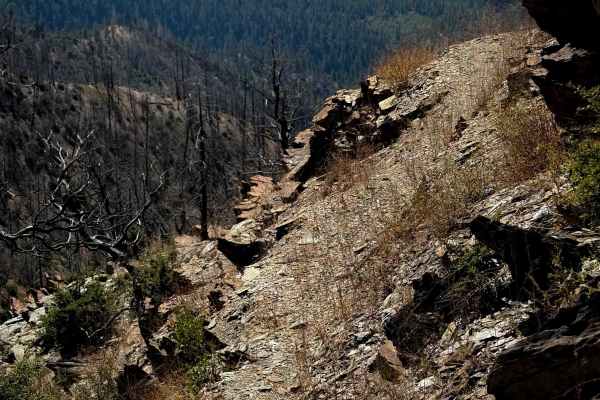
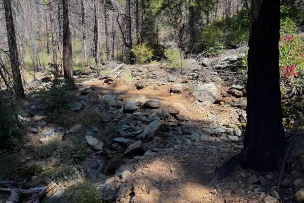
Trail Overview
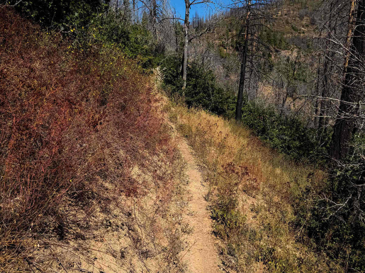
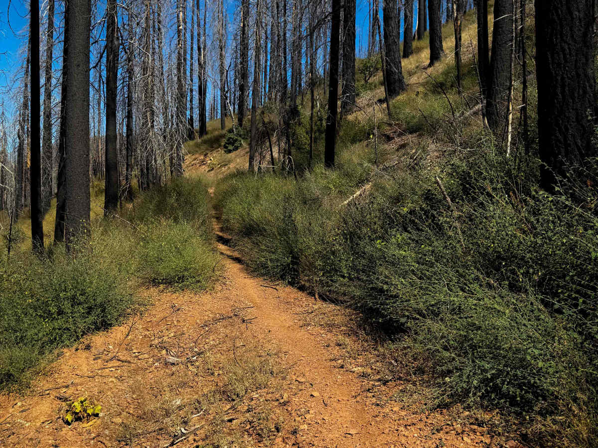
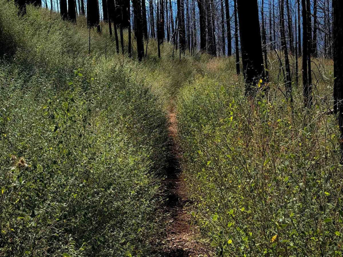
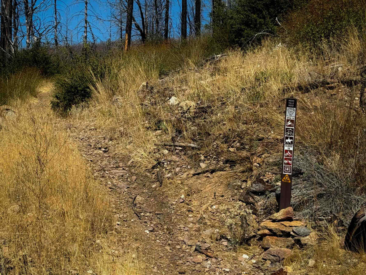
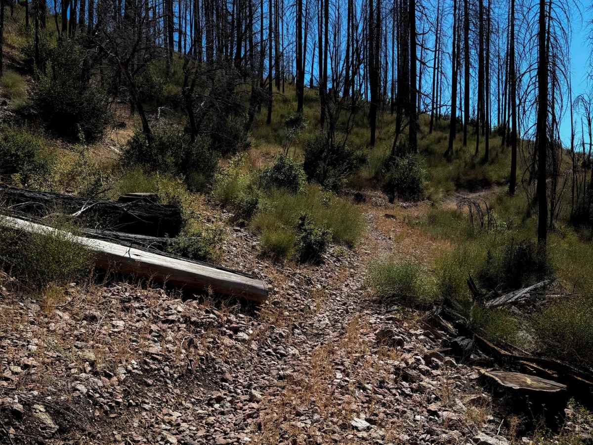
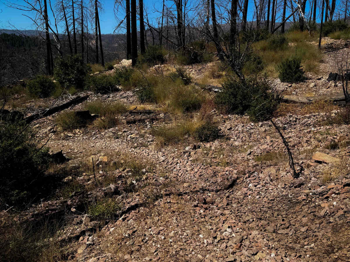
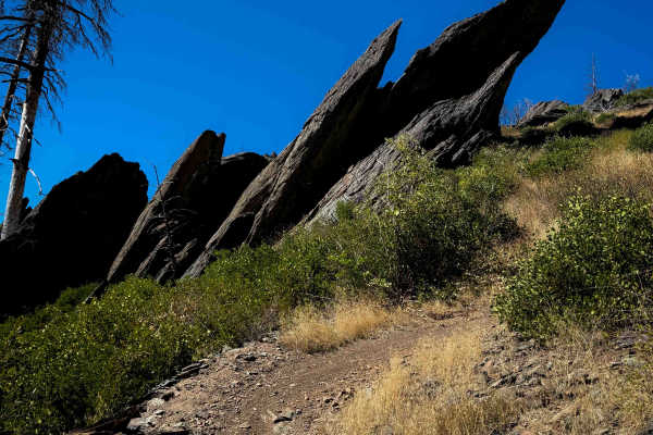
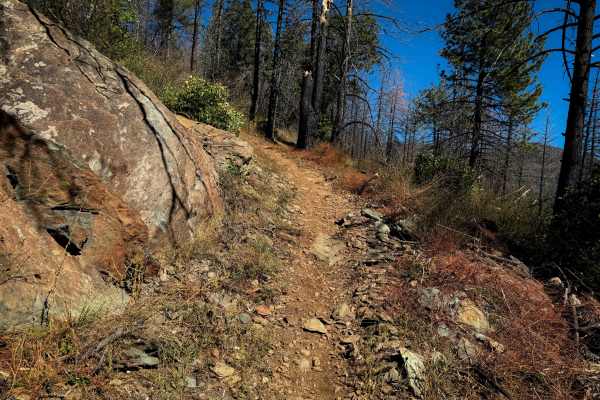
This is a fun singletrack accessed from the west side of the trail system that goes through dry and grassy terrain. The trailhead is on the corner of a switchback on 25N14 road, and it starts by going over a bunch of loose rock for the first couple turns of the trail as it gradually switchbacks up the hillside. It has narrow and shelfy sections throughout the route, but only mild exposure. The trail is pretty gradual for the 3.4 miles as it keeps ascending up the hillside, under black oak trees, but with lots of sun exposure. It crosses the road again and then goes out onto a wider shelf that is tightly lined with tall shrubs that block visibility at times, going through an extensive burn area with potential for downed logs. There’s big banked corners on the eastern end of the trail as it winds uphill to the intersection with Indian Falls Ridge and Acorn Grotto.
Difficulty
This trail is relatively easy and ideal for riders with less experience, as it stays pretty wide and gradual the whole time, with big banked corners and minor rocks. There is a bit of loose rock on the west end, and mild exposure throughout the route to be aware of.